Wildlife reserves · Scottish Highlands
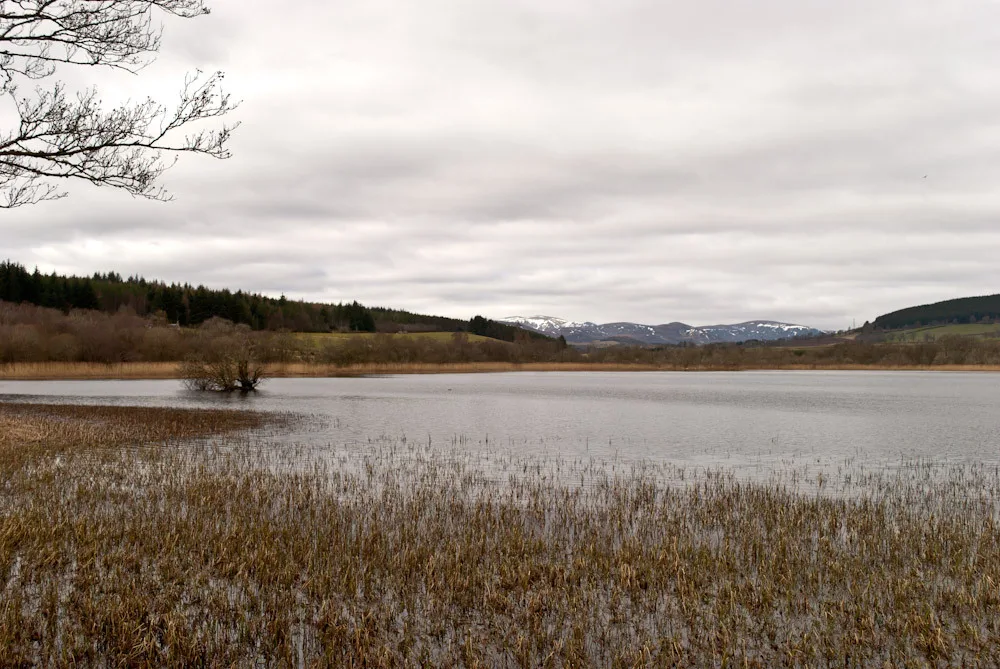
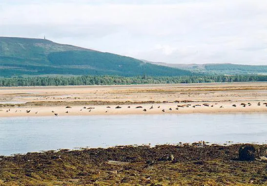
Montrose Basin
In or near St Cyrus.
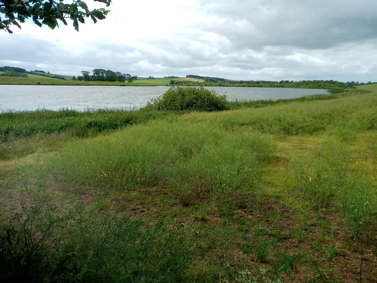
Montrose Basin — river estuary and nature reserve in Angus, Scotland, UK.

Wikimedia Commons contributors — see linked file page for photographer and licence licence
Plan your visit
- Typical visit
- 2 h–4 h
- Best time of year
- Autumn & winter (migration & wildfowl)
- Nearest railway station
- Montrose · 2.0 km
- Free entry
- Family-friendly
- Dog-friendly
- Limited wheelchair access
Getting there & planning your visit
To visit Montrose Basin, the nearest railway station is Montrose, located 2 km away. The postcode for sat-nav is DD10 9TJ, and entry is free. Accessibility is limited for wheelchair users.
About
Montrose Basin is a wildlife reserve in the United Kingdom. Heritage designation: Site of Special Scientific Interest. Managed by Scottish Wildlife Trust. Wikidata describes it as: "river estuary and nature reserve in Angus, Scotland, UK". Coordinates: 56.7082°, -2.5030°.
Photo gallery
From the Wikipedia article
Montrose Basin is a nearly circular tidal basin which makes up part of the estuary of the River South Esk and which sits just inland of the town of Montrose in Angus on the east coast of Scotland. The basin is protected by a number of designations; it is managed by the Scottish Wildlife Trust as a Wildlife Reserve, as well as being designated as a Local Nature Reserve, Site of Special Scientific Interest, a Special Protection Area and a Ramsar Site.
Excerpt from Wikipedia under CC BY-SA 4.0. See the source article linked in Sources below.
Background
History
The Montrose Basin Heritage Society was formed in 1999 to bring together information about the basin, including its history and archaeology. The oldest evidence for humans in the area dating back as far as over 3,000 BCE, this being the linear monument, known as the cursus, which runs from Powis to Old Montrose. The Basin has been exploited for its seafood, especially the Atlantic salmon but commercial fisheries for this species ended in 2018; and mussel cultivation gave it the largest mussel beds in the country during the 19th and early 20th centuries. The Montrose Basin was hit by a tsunami in 6,100 BCE, generated by the massive underwater Storegga Slide, in Norway. It was 70 ft high when…
Sourced from Wikipedia under CC BY-SA 4.0.
- Coordinates
- 56.7082, -2.5030
- District
- Angus
- Postcode
- DD10 9TJ
- Parliamentary constituency
- Angus and Perthshire Glens
- Nearest railway station
- Montrose — 2 km
Sources
- wikidata: Q3632562 (CC0)
- wikipedia: Montrose Basin (CC BY-SA 4.0)
- commons: Montrose Basin.jpg (CC BY-SA 4.0)
Other places nearby

Dronner's Dyke (remains)
Archaeological sites · 0.3 km

Montrose Basin Local Nature Reserve
Forests & woodlands · 0.8 km

1 Esk Road, Montrose
Historic houses · 1.5 km

Craig House
Manor houses · 1.6 km

Torkirk House, Maryton
Historic churches · 1.7 km
Maryton War Memorial
Memorials & monuments · 1.7 km

Montrose Castle
Castles · 1.8 km

Bamse (Royal Norwegian Navy Dog) Memorial
Memorials & monuments · 1.8 km

Haugh Bridge, Old Montrose
Historic bridges · 1.8 km

The Seafarer
Memorials & monuments · 1.9 km

Montrose Harbour
Harbours & ports · 1.9 km

Old Pier, Harbour, Montrose
Piers · 1.9 km
Nearby
📷 5Archaeological sites · Scottish Highlands
Dronner's Dyke (remains)
Dronner's Dyke (remains) — a archaeological in scotland-highlands, United Kingdom.
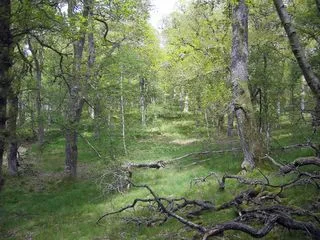
📷 3Forests & woodlands · Scottish Highlands
Montrose Basin Local Nature Reserve
Montrose Basin Local Nature Reserve is a forest or woodland in the United Kingdom.
📷 3Historic houses · Scottish Highlands
1 Esk Road, Montrose
1 Esk Road, Montrose — house in Montrose, Angus, Scotland, UK.
📷 3Manor houses · Scottish Highlands
Craig House
Craig House — a manor in scotland-highlands, United Kingdom.
📷 5Historic churches · Scottish Highlands
Torkirk House, Maryton
Torkirk House, Maryton — category B listed building-listed church in scotland-highlands, United Kingdom.
📷 3Memorials & monuments · Scottish Highlands
Maryton War Memorial
Maryton War Memorial — a memorial in scotland-highlands, United Kingdom.
Where to eat & stay near Montrose Basin
Places to stay
 📷 5
📷 5Caravan parks · Scottish Highlands
Tayock Park
Tayock Park — a caravan park in scotland highlands.
 📷 5
📷 5Caravan parks · Scottish Highlands
South Links Holiday Park
South Links Holiday Park — a caravan park in scotland highlands.
 📷 5
📷 5Caravan parks · Scottish Highlands
Lunan Bay Campsite
Lunan Bay Campsite — a caravan park in scotland highlands.
 📷 5
📷 5Caravan parks · Scottish Highlands
Ecclesgreig Holiday Park
Ecclesgreig Holiday Park — a caravan park in scotland highlands.
 📷 5
📷 5Caravan parks · Scottish Highlands
Dovecot Caravan Park
Dovecot Caravan Park — a caravan park in scotland highlands.
 📷 5
📷 5Caravan parks · Scottish Highlands
St Cyrus Holiday Park
St Cyrus Holiday Park — a caravan park in scotland highlands.
Places to eat & drink
 📷 5
📷 5Historic pubs · Scottish Highlands
95 High Street, Montrose
95 High Street, Montrose in Scotland Highlands, United Kingdom.
 📷 5
📷 5Historic pubs · Central Scotland
The Corn Exchange
The Corn Exchange in Scotland Highlands, United Kingdom.
 📷 5
📷 5Historic pubs · Central Scotland
3-5 High Street, Arbroath
3-5 High Street, Arbroath in Scotland Highlands, United Kingdom.
 📷 5
📷 5Historic pubs · Scottish Highlands
23 Osnaburg Street, Forfar
23 Osnaburg Street, Forfar in Scotland Highlands, United Kingdom.
More places run by Scottish Wildlife Trust
 📷 3
📷 3Wildlife reserves · North East England
Hoselaw Loch and Din Moss
Hoselaw Loch and Din Moss — nature reserve near Kelso, Scottish Borders, Scotland, UK.
 Flagship📷 5
Islands · Scottish Highlands
Eigg
Eigg — one of the Small Isles in the Inner Hebrides, Scotland, UK.
 Flagship📷 5
Wildlife reserves · Scottish Highlands
Handa Island
Handa Island — island off the west coast of Sutherland, Scotland.
 📷 3
📷 3Natural landmarks · Scottish Highlands
Ben More Coigach
Ben More Coigach — 743m mountain in Lochbroom, Highland, Scotland.
More places in this region
 📷 3
📷 3Wildlife reserves · Scottish Highlands
Dinnet Oakwood Special Area of Conservation
Dinnet Oakwood Special Area of Conservation — Special Area of Conservation in Aberdeenshire, Scotland, UK.
 📷 3
📷 3Wildlife reserves · Scottish Highlands
Fairy Glen, Rosemarkie
Fairy Glen, Rosemarkie — RSPB reserve in Scotland.
 📷 3
📷 3Wildlife reserves · Scottish Highlands
Loch Achnacloich
Loch Achnacloich — lake in Highland, Scotland, UK, on and outflowsing east to Burn of Achnacloich.
Wildlife reserves · Scottish Highlands
Loch Fleet National Nature Reserve
Loch Fleet National Nature Reserve — nature reserve in Highland, Scotland, UK.
Frequently asked questions
- Where is Montrose Basin?
- Montrose Basin is in the Scottish Highlands, United Kingdom (postcode DD10 9TJ).
- What is Montrose Basin?
- Montrose Basin — river estuary and nature reserve in Angus, Scotland, UK.
- How do I get to Montrose Basin?
- The nearest railway station is Montrose, about 2.0 km away. Drivers can use postcode DD10 9TJ.
- Who runs Montrose Basin?
- Montrose Basin is operated by Scottish Wildlife Trust.
- Is Montrose Basin a listed building?
- Montrose Basin is officially recognised as Site of Special Scientific Interest listed.
- Is Montrose Basin free to visit?
- Yes, Montrose Basin is free to enter.
- How do I get to Montrose Basin?
- The nearest railway station is Montrose, about 2.0 km away. Drivers can navigate to postcode DD10 9TJ.
- Are dogs allowed at Montrose Basin?
- Most wildlife reserves allow dogs on lead only, with restrictions during ground-nesting bird season (March-July). Check signage at the reserve.