
Archaeological sites · Scottish Highlands
Dronner's Dyke (remains)
In or near St Cyrus.
Dronner's Dyke (remains) — a archaeological in scotland-highlands, United Kingdom.

Adrian Diack — CC BY-SA 2.0 via Wikimedia Commons licence

Plan your visit
- Typical visit
- 45 min–1.5 h
- Nearest railway station
- Montrose · 2.0 km
- Free entry
- Dog-friendly
About
Dronner's Dyke (remains) is a archaeological located in scotland-highlands, United Kingdom. Sourced from OpenStreetMap (ODbL licence); see local listings for visitor information, opening hours and admission details.
Photo gallery
Place summary
Dronner's Dyke (remains) is an archaeological site located in the Scottish Highlands. It features the remnants of an ancient earthwork, notable for its historical significance in the region. The site provides insights into the area's past and its early inhabitants.
AI-generated from the structured facts on this page (operator, designation, listing, era). Not a substitute for visiting.
- Coordinates
- 56.7108, -2.5048
- District
- Angus
- Postcode
- DD10 9TJ
- Parliamentary constituency
- Angus and Perthshire Glens
- Nearest railway station
- Montrose — 2 km
Sources
- osm: way/411232145 (ODbL)
Other places nearby
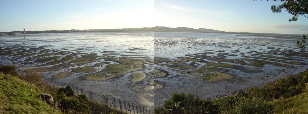
Montrose Basin
Wildlife reserves · 0.3 km

Montrose Basin Local Nature Reserve
Forests & woodlands · 0.5 km

1 Esk Road, Montrose
Historic houses · 1.7 km

Haugh Bridge, Old Montrose
Historic bridges · 1.8 km

Tayock Park
Caravan parks · 1.8 km

Craig House
Manor houses · 1.9 km

Montrose Castle
Castles · 1.9 km

Bridge, Gilrivie
Historic bridges · 1.9 km

Torkirk House, Maryton
Historic churches · 1.9 km

Bamse (Royal Norwegian Navy Dog) Memorial
Memorials & monuments · 1.9 km
Maryton War Memorial
Memorials & monuments · 2.0 km

The Seafarer
Memorials & monuments · 2.0 km
Nearby
📷 3Wildlife reserves · Scottish Highlands
Montrose Basin
Montrose Basin — river estuary and nature reserve in Angus, Scotland, UK.
📷 3Forests & woodlands · Scottish Highlands
Montrose Basin Local Nature Reserve
Montrose Basin Local Nature Reserve is a forest or woodland in the United Kingdom.
📷 3Historic houses · Scottish Highlands
1 Esk Road, Montrose
1 Esk Road, Montrose — house in Montrose, Angus, Scotland, UK.
📷 5Historic bridges · Scottish Highlands
Haugh Bridge, Old Montrose
Haugh Bridge, Old Montrose — category C listed building-listed bridge in scotland-highlands, United Kingdom.
📷 5Caravan parks · Scottish Highlands
Tayock Park
Tayock Park — a caravan park in scotland highlands.
📷 3Manor houses · Scottish Highlands
Craig House
Craig House — a manor in scotland-highlands, United Kingdom.
Where to eat & stay near Dronner's Dyke (remains)
Places to stay
📷 5Caravan parks · Scottish Highlands
Tayock Park
Tayock Park — a caravan park in scotland highlands.
 📷 5
📷 5Caravan parks · Scottish Highlands
South Links Holiday Park
South Links Holiday Park — a caravan park in scotland highlands.
 📷 5
📷 5Caravan parks · Scottish Highlands
Lunan Bay Campsite
Lunan Bay Campsite — a caravan park in scotland highlands.
 📷 5
📷 5Caravan parks · Scottish Highlands
Ecclesgreig Holiday Park
Ecclesgreig Holiday Park — a caravan park in scotland highlands.
 📷 5
📷 5Caravan parks · Scottish Highlands
Dovecot Caravan Park
Dovecot Caravan Park — a caravan park in scotland highlands.
 📷 5
📷 5Caravan parks · Scottish Highlands
St Cyrus Holiday Park
St Cyrus Holiday Park — a caravan park in scotland highlands.
Places to eat & drink
 📷 5
📷 5Historic pubs · Scottish Highlands
95 High Street, Montrose
95 High Street, Montrose in Scotland Highlands, United Kingdom.
 📷 5
📷 5Historic pubs · Central Scotland
The Corn Exchange
The Corn Exchange in Scotland Highlands, United Kingdom.
 📷 5
📷 5Historic pubs · Central Scotland
3-5 High Street, Arbroath
3-5 High Street, Arbroath in Scotland Highlands, United Kingdom.
 📷 5
📷 5Historic pubs · Scottish Highlands
23 Osnaburg Street, Forfar
23 Osnaburg Street, Forfar in Scotland Highlands, United Kingdom.
More archaeological sites in this region
 📷 5
📷 5Archaeological sites · Scottish Highlands
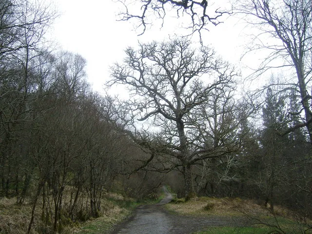
Ariundle Oakwood National Nature Reserve
Ariundle Oakwood National Nature Reserve — forested nature reserve in Highland, Scotland, UK.
 📷 3
📷 3Archaeological sites · Scottish Highlands
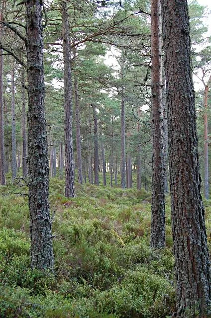
Abernethy Forest
Abernethy Forest — forest in Highland, Scotland, UK.
 📷 3
📷 3Archaeological sites · Scottish Highlands
Abriachan Forest
Abriachan Forest — Forest near Abriachan village in Scotland.
 📷 3
📷 3Archaeological sites · Scottish Highlands
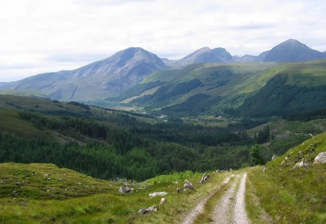
Achnashellach Forest
Achnashellach Forest is a archaeological site in the United Kingdom.
Frequently asked questions
- Where is Dronner's Dyke (remains)?
- Dronner's Dyke (remains) is in the Scottish Highlands, United Kingdom (postcode DD10 9TJ).
- What is Dronner's Dyke (remains)?
- Dronner's Dyke (remains) — a archaeological in scotland-highlands, United Kingdom.
- How do I get to Dronner's Dyke (remains)?
- The nearest railway station is Montrose, about 2.0 km away. Drivers can use postcode DD10 9TJ.
- Is Dronner's Dyke (remains) free to visit?
- Yes, Dronner's Dyke (remains) is free to enter.
- How do I get to Dronner's Dyke (remains)?
- The nearest railway station is Montrose, about 2.0 km away. Drivers can navigate to postcode DD10 9TJ.