Reservoirs & lochs · Scottish Highlands
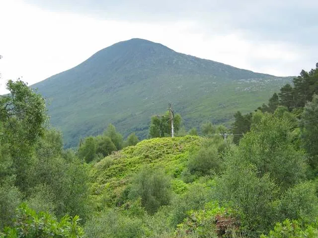
Moidart
Also known as: Mùideart
Moidart in Scotland Islands, United Kingdom.

ian shiell — CC BY-SA 2.0 via Wikimedia Commons licence
Plan your visit
- Typical visit
- 1 h–2.5 h
- Nearest railway station
- Lochailort · 7.1 km
- Free entry
- Dog-friendly
Getting there & planning your visit
To visit Moidart, the nearest railway station is Lochailort, which is approximately 7.1 km away. Entry to the reservoir is free.
About
Moidart is a place of interest in Scotland Islands, United Kingdom — drawn from open-data sources for visitor reference. See the linked Wikipedia article for the full description.
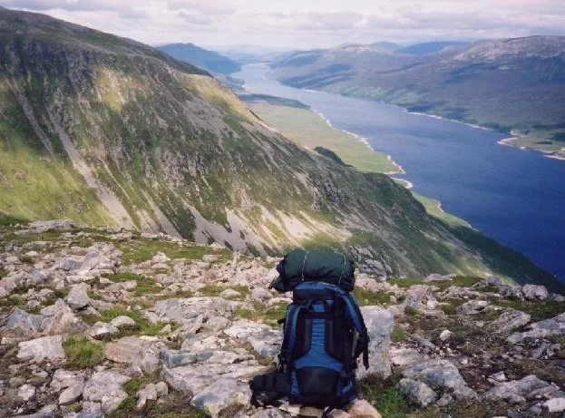
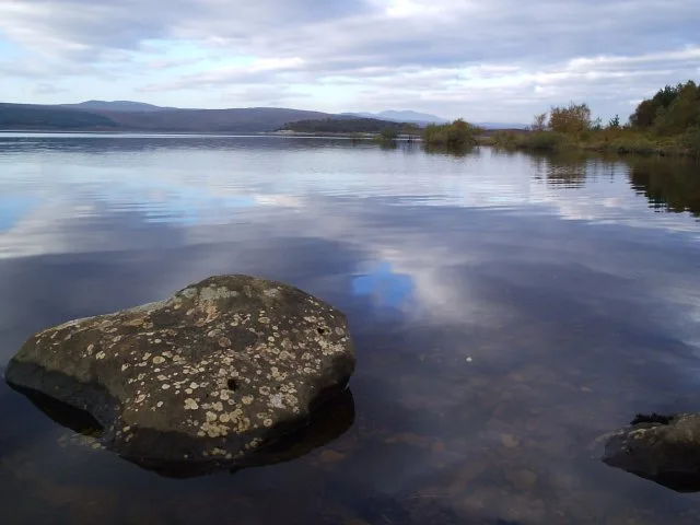
Photo gallery
From the Wikipedia article
Moidart ( MOY-dart; Scottish Gaelic: Mùideart [ˈmuːitʲarˠʃt̪]) is part of the remote and isolated area of Scotland, west of Fort William, known as the Rough Bounds. Moidart itself is almost surrounded by bodies of water. Loch Shiel cuts off the eastern boundary of the district (along a south-south-west to north-north-east line) and continues along part of the southern edge. The remainder of the southern edge is cut off by Loch Moidart. The north is cut off by Loch Morar and Loch Ailort. Moidart is currently part of the district of Lochaber, in the Highland council area. It includes the townships of Dorlin, Kinlochmoidart and Glenuig. At Dorlin is Castle Tioram, a former fortress of Clann Ruaidhrí and the Clanranald branch of Clan Donald. Moidart forms part of the Morar, Moidart and Ardnamurchan National Scenic Area, one of 40 such areas in Scotland, which are defined so as to identify areas of exceptional scenery and to ensure its protection by restricting certain forms of development.
Excerpt from Wikipedia under CC BY-SA 4.0. See the source article linked in Sources below.
Background
History
Following raids by vikings, Moidart became part of the Kingdom of the Isles, a Norwegian dependency. It was in this period that Moidart acquired its name, from the Old Norse mod, meaning mud, and the Norse suffix -art, derived from fjord; the whole name thus means muddy loch, and refers to Loch Moidart in particular (whose name is thus tautologous). In the late 11th century, Malcolm III of Scotland made a written agreement with Magnus Barelegs, the Norwegian king, which moved the border to the coast; Moidart thus became Scottish. In the early 12th century, Somerled, a Norse-Gael of uncertain origin, came into possession of Moidart and the surrounding region; no reliable record explains how…
Sourced from Wikipedia under CC BY-SA 4.0.
- Coordinates
- 56.8200, -5.6960
- Nearest railway station
- Lochailort — 7.1 km
Sources
Other places nearby

Sgùrr Dhomhuill Mòr
Mountains & hills · 0.5 km
Sgurr Dhomhuill Mor
Mountains & hills · 0.5 km
Sgurr a' Mheadhain
Mountains & hills · 0.7 km

Rois-Bheinn West Top
Mountains & hills · 1.9 km

Rois-bheinn
Natural landmarks · 2.1 km
Rois-Bheinn
Mountains & hills · 2.2 km

Sgurr na Ba Glaise
Mountains & hills · 3.1 km
Sgùrr na Bà Glaise
Mountains & hills · 3.1 km

Cruach Airigh an Aon-bheinn
Mountains & hills · 3.1 km

Alisary
Natural landmarks · 3.6 km

Beinn Gaire
Mountains & hills · 3.7 km
Beinn Gaire
Mountains & hills · 3.7 km
Nearby
📷 5Mountains & hills · Scottish Highlands
Sgùrr Dhomhuill Mòr
Sgùrr Dhomhuill Mòr — mountain in scotland highlands. Elevation: 713 m.
📷 5Mountains & hills · Scottish Highlands
Sgurr Dhomhuill Mor
Sgurr Dhomhuill Mor — a hill or mountain in scotland highlands.
📷 5Mountains & hills · Scottish Highlands
Sgurr a' Mheadhain
Sgurr a' Mheadhain — a hill or mountain in scotland highlands.
📷 5Mountains & hills · Scottish Highlands
Rois-Bheinn West Top
Rois-Bheinn West Top — a hill or mountain in scotland highlands.
📷 3Natural landmarks · Scottish Highlands
Rois-bheinn
Rois-bheinn — mountain in Highland, Scotland, UK.
📷 3Where to eat & stay near Moidart
Places to stay
 📷 5
📷 5Hostels · Scottish Highlands
Ariundle Centre
Ariundle Centre — a hostel in scotland highlands.
 📷 5
📷 5Campsites · Scottish Highlands
Tigh na Mara
Tigh na Mara — a campsite in scotland highlands.
 📷 5
📷 5Campsites · Scottish Highlands
Sunart Camping
Sunart Camping — a campsite in scotland highlands.
 📷 5
📷 5Campsites · Scottish Highlands
Invercaimbe caravan and campsite
Invercaimbe caravan and campsite — a campsite in scotland highlands.
 📷 5
📷 5Campsites · Scottish Highlands
Sunnyside Croft Touring Site
Sunnyside Croft Touring Site — a campsite in scotland highlands.
 📷 5
📷 5More places in this region
 Flagship📷 3
Reservoirs & lochs · Scottish Highlands
Loch Ericht
Loch Ericht — lake in Perth and Kinross, and Highland, Scotland, UK, outflows to River Ericht.
 Flagship📷 3
Reservoirs & lochs · Scottish Highlands
Loch Shin
Loch Shin — reservoir in Highland, Scotland, UK, outflows to the River Shin.
 📷 4
📷 4Reservoirs & lochs · Scottish Highlands
Backwater Reservoir
Backwater Reservoir — lake in Angus, Scotland, UK.
 📷 3
📷 3Reservoirs & lochs · Scottish Highlands
Blackwater Reservoir
Blackwater Reservoir — reservoir in Highland, Scotland, UK, outflows to the River Leven.
Frequently asked questions
- Where is Moidart?
- Moidart is in the Scottish Islands, United Kingdom.
- What is Moidart?
- Moidart in Scotland Islands, United Kingdom.
- How do I get to Moidart?
- The nearest railway station is Lochailort, about 7.1 km away. Its coordinates are 56.8200°, -5.6960°.
- Is Moidart free to visit?
- Yes, Moidart is free to enter.
- How do I get to Moidart?
- The nearest railway station is Lochailort, about 7.1 km away.