
Windmills · South East England
Meopham Windmill
In or near Cobham.
Meopham Windmill is a windmill in the United Kingdom.

Wikimedia Commons contributors — see linked file page for photographer and licence licence

Plan your visit
- Typical visit
- 30 min–1 h
- Nearest railway station
- Meopham · 2.7 km
- Free entry
- Family-friendly
- Dog-friendly
Getting there & planning your visit
Meopham Windmill is located in Gravesham, Kent, with the postcode DA13 0AY. The nearest railway station is Meopham, which is 2.7 km away. Entry to the windmill is free.
About
Meopham Windmill is a named windmill in the United Kingdom. Coordinates: 51.3620°, 0.3535°. This entry is part of The Great Britain Guide, a free, ad-free, open-data tourist directory.
Photo gallery
Heritage listing
Killick's Mill is a Grade II* listed smock mill in Meopham, Kent, England that was built in 1801 and which has been restored.
From the Historic England List Entry under OGL v3.
Protected designations
- Site of Special Scientific Interest: Halling to Trottiscliffe Escarpment SSSI
- National Nature Reserve: NORTH KENT WOODS AND DOWNS
- Area of Outstanding Natural Beauty: Kent Downs
Designations sourced from Natural England open data under OGL v3.
From the Wikipedia article
Killick's Mill is a Grade II* listed smock mill in Meopham, Kent, England that was built in 1801 and which has been restored.
Excerpt from Wikipedia under CC BY-SA 4.0. See the source article linked in Sources below.
Background
History
Killick's mill was built in 1801 by three brothers named Killick from Strood. Unusually, the mill is hexagonal in plan. Most smock mills are octagonal in plan. The mill was run by the Killick family until 1889 when it was sold to the Norton family. The mill was acquired by Kent County Council in 1960 and restored by E Hole and Sons, the Burgess Hill millwrights at a cost of £4,375.
Description
Killick's Mill is a three-storey smock mill on a two-storey single-storey brick base. There is a stage at second-floor level. It has four double patent sails carried on a cast-iron windshaft. The sails are 27 ft long. The mill is winded by a fantail. The wooden Brake Wheel is 6 ft diameter. The Wallower and Great Spur Wheel are of cast iron. When the mill was built, it had two pairs of millstones. Later a third and then a fourth pair were added. One of the added pair of stones came from Richardson's mill, Boughton under Blean, as did the 15 hp auxiliary oil engine. The stones are driven overdrift. At one time, the mill generated its own electricity to power electric lights within the mill.
Sourced from Wikipedia under CC BY-SA 4.0.
- Coordinates
- 51.3620, 0.3535
- County
- Kent
- District
- Gravesham
- Parish
- Meopham
- Postcode
- DA13 0AY
- Parliamentary constituency
- Gravesham
- Established
- 1801
- Nearest railway station
- Meopham — 2.7 km
Sources
- osm: n1289525941 (ODbL)
- wikipedia: Killick's Mill, Meopham (CC BY-SA 4.0)
- commons: MeophamGreen3576.JPG (CC BY-SA 4.0)
Other places nearby

Meopham
Museums · 0.5 km

Hopehill Scout Campsite
Campsites · 1.2 km

Parish Church of St John the Baptist, Meopham
Historic churches · 1.2 km

Ashmere Farm Certified Campsite
Campsites · 1.5 km
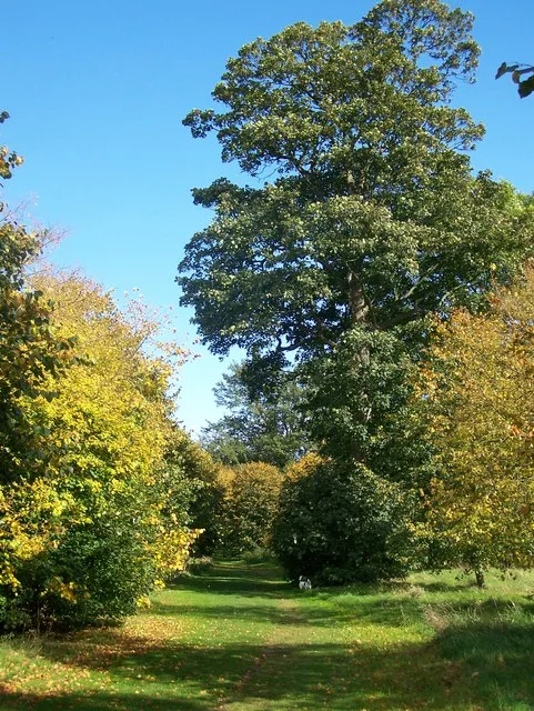
Camer Park Country Park
Parks · 2.0 km

Ridley
Villages · 2.5 km

Church of All Saints
Historic churches · 3.0 km

Sole Street
Villages · 3.1 km

Luddesdown
Villages · 3.2 km

Dode
Vineyards · 3.3 km

Vigo Village
Other places · 3.7 km
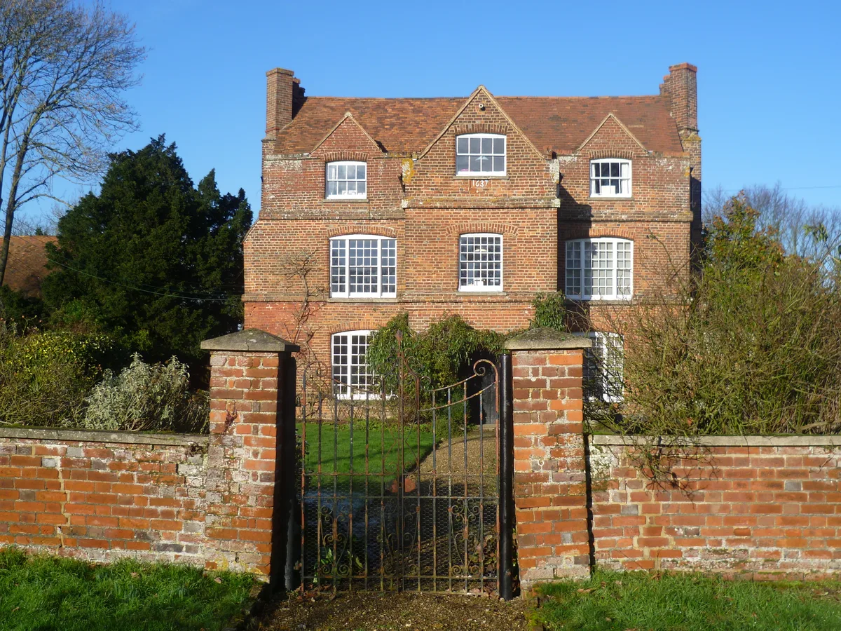
Ash Manor
Stately homes · 3.8 km
Nearby
📷 5Museums · South East England
Meopham
Meopham is a large linear village and civil parish in the Borough of Gravesham in north-west Kent, England, lying to the south of Gravesend. The parish covers 6.5 square miles (17 km2), and comprise
📷 5Campsites · South East England
Hopehill Scout Campsite
Hopehill Scout Campsite — a campsite in england london.
📷 5Historic churches · South East England
Parish Church of St John the Baptist, Meopham
Parish Church of St John the Baptist, Meopham — church in Meopham, Kent, England, UK.
📷 5Campsites · South East England
Ashmere Farm Certified Campsite
Ashmere Farm Certified Campsite — a campsite in england london.
📷 5Parks · South East England
Camer Park Country Park
Camer Park Country Park — park in United Kingdom.
📷 5Where to eat & stay near Meopham Windmill
Places to stay
📷 5Campsites · South East England
Hopehill Scout Campsite
Hopehill Scout Campsite — a campsite in england london.
📷 5Campsites · South East England
Ashmere Farm Certified Campsite
Ashmere Farm Certified Campsite — a campsite in england london.
 📷 5
📷 5Campsites · South East England
Badgells Wood Camping
Badgells Wood Camping — a campsite in england london.
 📷 5
📷 5 📷 7
📷 7 📷 7
📷 7Places to eat & drink
 📷 7
📷 7Historic pubs · South East England
The Leather Bottle Inn
The Leather Bottle Inn in England South East, United Kingdom.
 📷 5
📷 5Restaurants · South East England
Pad Thai Restaurant
Pad Thai Restaurant — a restaurant in england london.
 📷 5
📷 5 📷 5
📷 5Historic pubs · South East England
The Joiners Arms Public House
The Joiners Arms Public House in England South East, United Kingdom.
 📷 7
📷 7 📷 5
📷 5Historic pubs · South East England
Five Pointed Star Public House
Five Pointed Star Public House in England South East, United Kingdom.
More windmills in this region
 📷 5
📷 5Windmills · South East England
Buckland Windmill
Buckland Windmill is a windmill in the United Kingdom.
 📷 5
📷 5Windmills · South East England
Mugswell Windmill
Mugswell Windmill is a windmill in the United Kingdom.
 📷 5
📷 5Windmills · South East England
Reigate Mill Church
Reigate Mill Church is a windmill in the United Kingdom.
 📷 5
📷 5Windmills · South East England
Wray Common Mill, Reigate
Wray Common Mill, Reigate — Grade II* listed building-listed windmill in england-london, United Kingdom.
Frequently asked questions
- Where is Meopham Windmill?
- Meopham Windmill is in Kent, London, United Kingdom (postcode DA13 0AY), in the parish of Meopham.
- What is Meopham Windmill?
- Meopham Windmill is a windmill in the United Kingdom.
- How do I get to Meopham Windmill?
- The nearest railway station is Meopham, about 2.7 km away. Drivers can use postcode DA13 0AY.
- When was Meopham Windmill built?
- Built or established in 1801.
- Who owns Meopham Windmill?
- Meopham Windmill is owned by Kent County Council.
- Is Meopham Windmill a listed building?
- Meopham Windmill is officially recognised as Grade II* listed building listed.
- Is Meopham Windmill a protected site?
- Yes — Meopham Windmill is part of the Halling to Trottiscliffe Escarpment SSSI Site of Special Scientific Interest and the NORTH KENT WOODS AND DOWNS National Nature Reserve.
- Is Meopham Windmill free to visit?
- Yes, Meopham Windmill is free to enter.