
Hill forts · South East England
Membury Camp
In or near Aldbourne.
Membury Camp — hillfort in Wiltshire/Berkshire, England, UK.

Wikimedia Commons contributors — see linked file page for photographer and licence licence

Plan your visit
- Typical visit
- 1 h–2 h
- Nearest railway station
- Hungerford · 7.8 km
- Free entry
- Dog-friendly
Getting there & planning your visit
To visit Membury Camp, the nearest railway station is Hungerford, located 7.8 km away. The postcode for sat-nav is SN8 2HH, and entry to the site is free.
About
Membury Camp is a hill fort in the United Kingdom. Heritage designation: scheduled monument. Wikidata describes it as: "hillfort in Wiltshire/Berkshire, England, UK". Coordinates: 51.4757°, -1.5664°.
Photo gallery
Protected designations
- Area of Outstanding Natural Beauty: Cotswolds
- Area of Outstanding Natural Beauty: North Wessex Downs
Designations sourced from Natural England open data under OGL v3.
From the Wikipedia article
Membury Camp, or Membury Fort, is the site of an Iron Age hill fort located in England on the borders of Wiltshire and Berkshire counties, (the county line divides the site in two, although the majority of the site lies within Wiltshire). The site encompasses 14 hectares, and is situated in the south-western corner of a small plateau. The circular earthworks are completely shrouded in trees and inside the walls it is mostly arable farmland. To the northeast, in the Berkshire segment, the camp is totally wooded by a small copse, Walls Copse, which covers a quarter of the site. To the north and east the adjoining ground is flat, but to the south and west it falls away steeply, providing a natural defence. The camp consists of a single ditch with banks on either side and encloses and area measuring 390m by 490m. A gap in the east with inturning flanks is probably an original entrance though it is mutilated and overgrown. Other gaps in the banks appear to be more modern. A possible hut circle is visible as a cropmark situated at the south end of the hill fort. The east side of the earthwork has been partly destroyed by the construction of a wartime airfield, RAF Membury. The site has not been excavated but a number of prehistoric finds have been found in the vicinity. It is a scheduled ancient monument no. 228970. There have been several collections of pottery found, in 1977, 1980 and 1987. Other significant finds have also included flint artefacts from the Mesolithic era, and flint tools from the Neolithic era, prior to the Iron Age.
Excerpt from Wikipedia under CC BY-SA 4.0. See the source article linked in Sources below.
- Coordinates
- 51.4757, -1.5664
- District
- Wiltshire
- Parish
- Ramsbury
- Postcode
- SN8 2HH
- Parliamentary constituency
- East Wiltshire
- Nearest railway station
- Hungerford — 7.8 km
Sources
- wikidata: Q6815155 (CC0)
- wikipedia: Membury Camp (CC BY-SA 4.0)
- commons: Membury Camp - geograph.org.uk - 256790.jpg (CC BY-SA 4.0)
Other places nearby

Membury Airfield, WWII
Memorials & monuments · 0.9 km
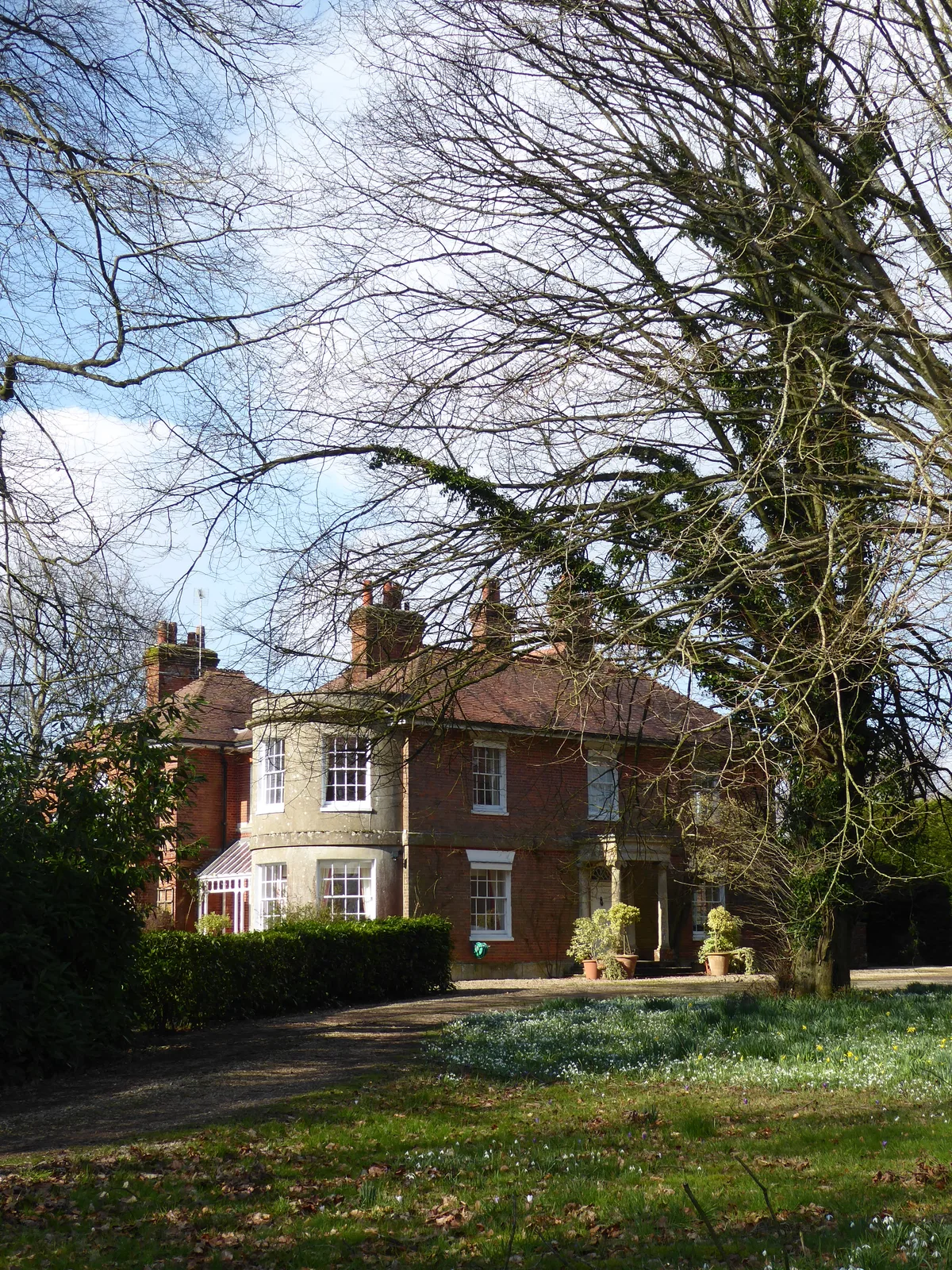
Baydon Manor
Stately homes · 1.5 km

Farncombe Farm Campsite
Campsites · 3.1 km
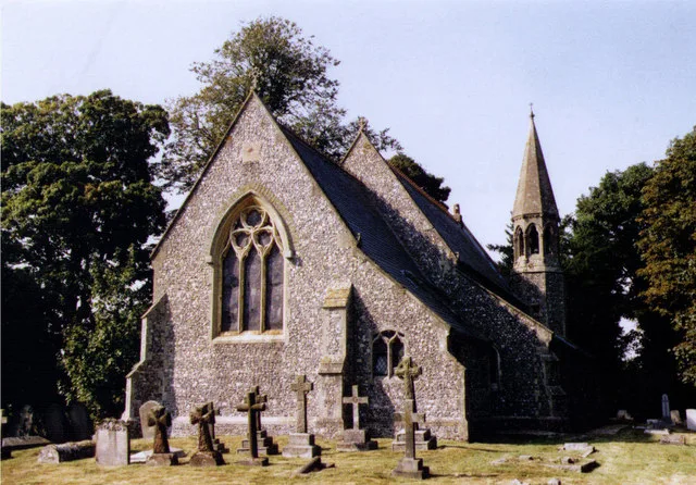
St Mary's Church
Historic churches · 3.2 km
.jpg?width=1200)
Watts Bank
Forests & woodlands · 3.4 km
Watts Bank
Wildlife reserves · 3.4 km

Aldbourne
Towns & cities · 3.7 km

Aldbourne Heritage Centre
Museums · 3.8 km

Mason Arms Public House West Street House
Historic pubs · 3.9 km

Goodies Café, Lambourn
Cafés · 4.2 km

College House
Historic houses · 4.3 km

Parsonage House
Historic houses · 4.3 km
Nearby
📷 5Memorials & monuments · South East England
Membury Airfield, WWII
Membury Airfield, WWII — a memorial in england-south-east, United Kingdom.
Flagship📷 5Stately homes · South East England
Baydon Manor
Baydon Manor — manor house in Ramsbury, Wiltshire, England, UK.
📷 5Campsites · South East England
Farncombe Farm Campsite
Farncombe Farm Campsite — a campsite in england south east.
📷 5Historic churches · South East England
St Mary's Church
St Mary's Church — grade II listed church in Lambourn, West Berkshire, Berkshire, England, UK.
📷 4Forests & woodlands · South East England
Watts Bank
Watts Bank is a forest or woodland in the United Kingdom.
📷 4Wildlife reserves · South East England
Watts Bank
Watts Bank — nature reserve in Berkshire, UK.
Where to eat & stay near Membury Camp
Places to stay
📷 5Campsites · South East England
Farncombe Farm Campsite
Farncombe Farm Campsite — a campsite in england south east.
 📷 7
📷 7Hotels · South East England
The Pheasant Inn
The Pheasant Inn — a hotel in england south east.
 📷 6
📷 6 📷 5
📷 5Hotels · South East England
The Three Swans Hotel
The Three Swans Hotel — a hotel in england south east.
 📷 5
📷 5 📷 5
📷 5Hotels · South East England
The Retreat at Elcot Park
The Retreat at Elcot Park — a hotel in england south east.
Places to eat & drink
📷 5Historic pubs · South West England
Mason Arms Public House West Street House
Mason Arms Public House West Street House in England South West, United Kingdom.
📷 7Cafés · South East England
Goodies Café, Lambourn
Goodies Café, Lambourn — a café in england south east.
 📷 7
📷 7Historic pubs · South East England
The Pelican Public House
The Pelican Public House in England South East, United Kingdom.
 📷 5
📷 5 📷 7
📷 7Restaurants · South East England
Tutti Pole
Tutti Pole — a restaurant in england south east.
 📷 7
📷 7Restaurants · South East England
The Funghi Club
The Funghi Club — a restaurant in england south east.
More places in this region
 📷 5
📷 5Hill forts · South East England
Ankerwycke Priory
Ankerwycke Priory — Benedictine nunnery with associated moat and fishponds.
 📷 5
📷 5Hill forts · South East England
Shornemead Fort
Shornemead Fort — fort in Shorne, Kent, England, UK.
 📷 5
📷 5Hill forts · South East England
Smythe's Megalith
Smythe's Megalith — neolithic monument in Kent, England.
 📷 5
📷 5Hill forts · South East England
White Horse Stone
White Horse Stone — Two megaliths near Aylesford, Kent, England.
Frequently asked questions
- Where is Membury Camp?
- Membury Camp is in South-East England, United Kingdom (postcode SN8 2HH), in the parish of Ramsbury.
- What is Membury Camp?
- Membury Camp — hillfort in Wiltshire/Berkshire, England, UK.
- How do I get to Membury Camp?
- The nearest railway station is Hungerford, about 7.8 km away. Drivers can use postcode SN8 2HH.
- Is Membury Camp a listed building?
- Membury Camp is officially recognised as scheduled monument listed.
- Is Membury Camp a protected site?
- Yes — Membury Camp is part of the Cotswolds National Landscape (AONB) and the North Wessex Downs National Landscape (AONB).
- Is Membury Camp free to visit?
- Yes, Membury Camp is free to enter.
- How do I get to Membury Camp?
- The nearest railway station is Hungerford, about 7.8 km away. Drivers can navigate to postcode SN8 2HH.