
Hill forts · Scottish Lowlands
Medieval turf building in Cronberry
In or near Auchinleck.
Medieval turf building in Cronberry — turf building excavated in East Ayrshire, Scotland, UK.

Kath Jones — CC BY-SA 2.0 via Wikimedia Commons licence

Plan your visit
- Typical visit
- 1 h–2 h
- Nearest railway station
- Auchinleck · 5.5 km
- Free entry
- Dog-friendly
Getting there & planning your visit
To visit the Medieval turf building in Cronberry, the nearest railway station is Auchinleck, located 5.5 km away. The postcode for the site is KA18 3LU, and entry is free.
About
Medieval turf building in Cronberry is a hill fort in the United Kingdom. Wikidata describes it as: "turf building excavated in East Ayrshire, Scotland, UK". Coordinates: 55.4780°, -4.2100°.
Photo gallery
From the Wikipedia article
Excavations in Cronberry, East Ayrshire, Scotland by Headland Archaeology revealed a medieval turf building and a nearby enclosure, also constructed of turf, of unknown date. The turf structure was sub-rectangular and contained a hearth surrounded by paving. Pottery dating to no later than the 16th century was recovered from the interior. The plan of the turf building was exposed during excavation. Due to the construction's materials and nature, it had been greatly affected by soil processes since it went out of use. The walls appear to have been made from a mixture of turf and local soil. Preservation was found to vary with the south end being best preserved. Extensive slumping had occurred and this, combined with subsequent decay, made excavation difficult. The presence of charcoal and charred cereal grains within the walls suggested that material from earlier occupation may have been incorporated and the remains may have represented more than one structural phase. In the interior of the building, the floor level was indicated by the hearth and slabs. Elsewhere, the floor was likely to have been of beaten earth, which is no longer recognisable due to soil mixing. There was no evidence for internal partitions.
Excerpt from Wikipedia under CC BY-SA 4.0. See the source article linked in Sources below.
- Coordinates
- 55.4780, -4.2100
- District
- East Ayrshire
- Postcode
- KA18 3LU
- Parliamentary constituency
- Kilmarnock and Loudoun
- Nearest railway station
- Auchinleck — 5.5 km
Sources
- wikidata: Q6806859 (CC0)
- wikipedia: Medieval turf building in Cronberry (CC BY-SA 4.0)
Other places nearby
Cronberry Village
Archaeological sites · 0.1 km

Cronberry
Villages · 0.2 km

Old Tile Works
Archaeological sites · 0.2 km
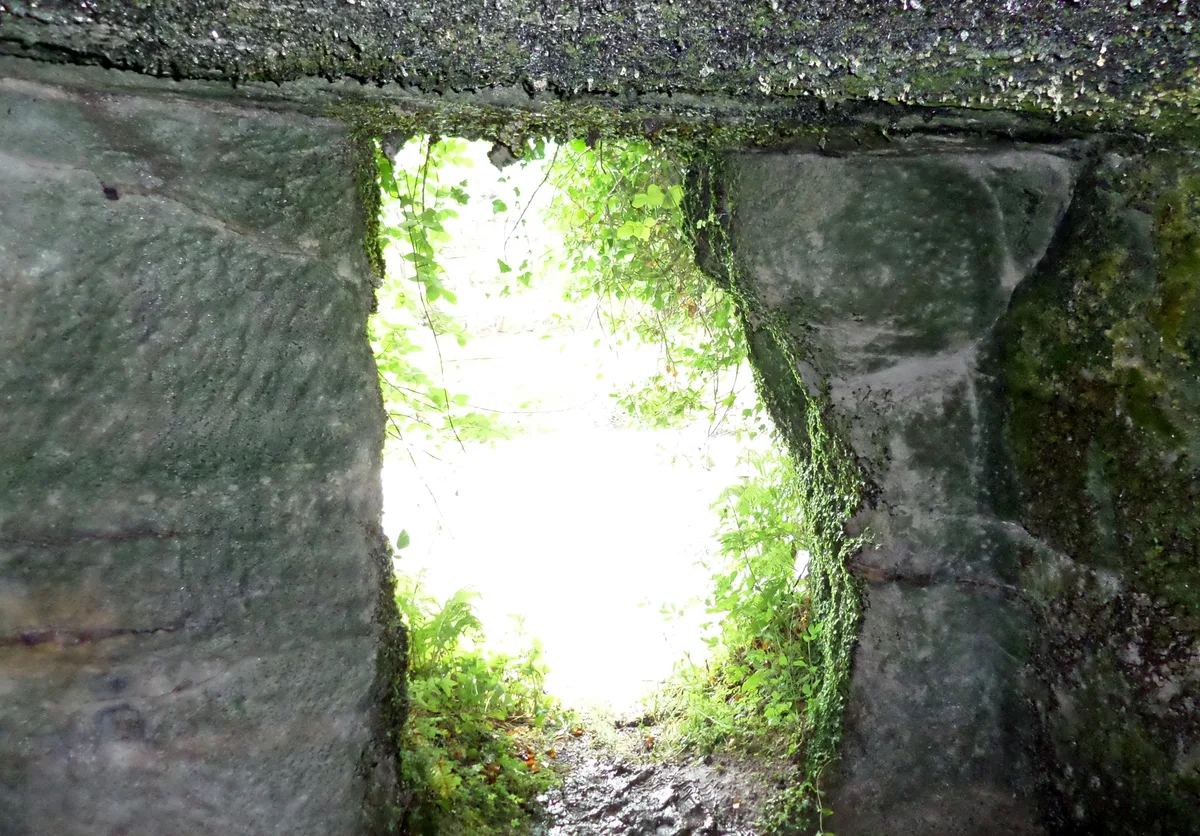
Murdoch's Cave
Mountains & hills · 1.3 km

Murdoch's Cave
Caves · 1.3 km
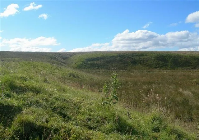
Airds Moss RSPB Reserve
Wildlife reserves · 1.4 km

Lugar
Villages · 1.7 km

Gaswater
Villages · 1.8 km

Lugar Parish Church
Historic churches · 1.9 km

Glenmuir Bridge
Historic bridges · 2.5 km

Airds Moss Special Area of Conservation
Wildlife reserves · 2.6 km

Logan Bridge
Historic bridges · 2.7 km
Nearby
📷 3Archaeological sites · Scottish Lowlands
Cronberry Village
Cronberry Village — an archaeological site in Scottish Lowlands, United Kingdom.
📷 5📷 3Archaeological sites · Scottish Lowlands
Old Tile Works
Old Tile Works — an archaeological site in Scottish Lowlands, United Kingdom.
📷 5Mountains & hills · Scottish Lowlands
Murdoch's Cave
Murdoch's Cave — cave in East Ayrshire, Scotland, UK.
📷 5📷 3Wildlife reserves · Scottish Lowlands
Airds Moss RSPB Reserve
Airds Moss RSPB Reserve — RSPB nature reserve in East Ayrshire, Scotland, UK.
Where to eat & stay near Medieval turf building in Cronberry
Places to stay
 📷 5
📷 5Campsites · Scottish Lowlands
Catrine House Caravan and Camping
Catrine House Caravan and Camping — a campsite in scotland lowlands.
 📷 5
📷 5Caravan parks · Scottish Lowlands
Sundrum Castle Holiday Park
Sundrum Castle Holiday Park — a caravan park in scotland lowlands. Brand: Parkdean Resorts.
 📷 5
📷 5Caravan parks · Scottish Lowlands
Crofthead Holiday Park
Crofthead Holiday Park — a caravan park in scotland lowlands.
 📷 5
📷 5Caravan parks · Scottish Lowlands
Dutch House Caravan Park
Dutch House Caravan Park — a caravan park in scotland highlands.
📷 5Caravan parks · Scottish Lowlands
Dutch House Caravan Park
Dutch House Caravan Park — a caravan park in scotland highlands.
Places to eat & drink
 📷 5
📷 5Historic pubs · Scottish Lowlands
The Sun Inn, 23 The Square, Cumnock
The Sun Inn, 23 The Square, Cumnock in Scotland Lowlands, United Kingdom.
 📷 7
📷 7Historic pubs · Scottish Lowlands
Commercial Inn, 1-3 Mill Street, Ochiltree
Commercial Inn, 1-3 Mill Street, Ochiltree in Scotland Lowlands, United Kingdom.
 📷 5
📷 5Historic pubs · Scottish Lowlands
Loudoun Arms, 69 Main Street, Newmilns
Loudoun Arms, 69 Main Street, Newmilns in Scotland Central, United Kingdom.
 📷 7
📷 7Historic pubs · Scottish Lowlands
Queensberry Arms Hotel
Queensberry Arms Hotel in Scotland Lowlands, United Kingdom.
 📷 5
📷 5Historic pubs · Scottish Lowlands
Doon Tavern, High Street, Dalmellington
Doon Tavern, High Street, Dalmellington in Scotland Lowlands, United Kingdom.
 📷 5
📷 5Historic pubs · Scottish Lowlands
The Clansman, 58, 60, 62 John Finnie Street, Kilmarnock
The Clansman, 58, 60, 62 John Finnie Street, Kilmarnock in Scotland Central, United Kingdom.
More places in this region
 📷 3
📷 3Hill forts · Scottish Lowlands
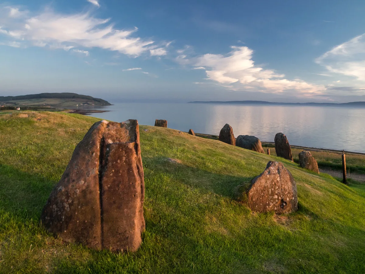
Auchagallon Stone Circle
Auchagallon Stone Circle — archaeological site in North Ayrshire, Scotland, UK.
 📷 5
📷 5Hill forts · Scottish Lowlands
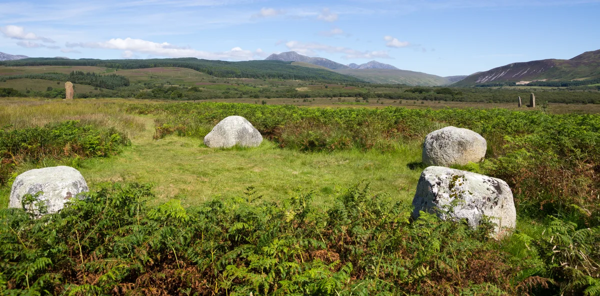
Machrie Moor Stone Circles
Machrie Moor Stone Circles — archaeological site in North Ayrshire, Scotland, UK.
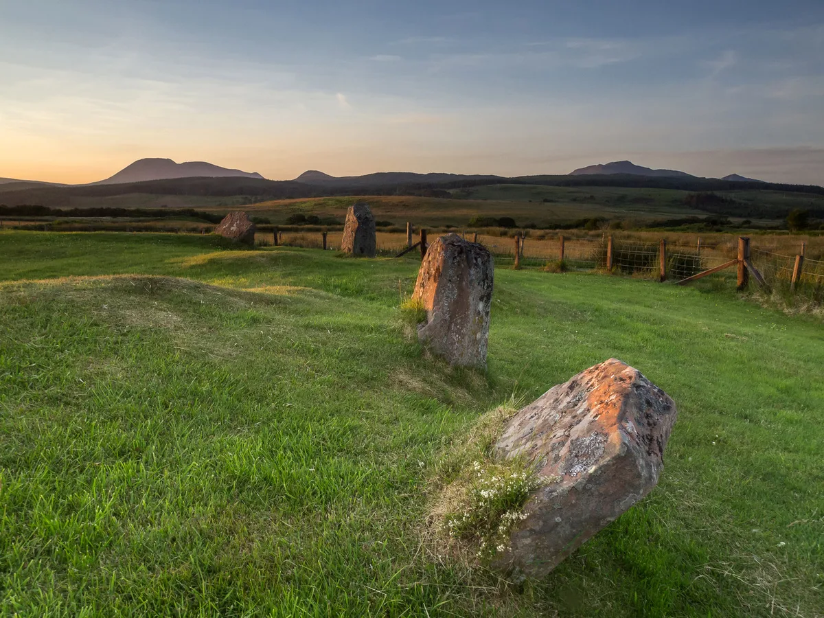 📷 3
📷 3Hill forts · Scottish Lowlands
Moss Farm Road Stone Circle
Moss Farm Road Stone Circle — archaeological site in North Ayrshire, Scotland, UK.
 📷 3
📷 3Hill forts · Scottish Lowlands
Trudernish Point, Hillfort
Trudernish Point, Hillfort — a hill fort in Scottish Lowlands, United Kingdom.
Frequently asked questions
- Where is Medieval turf building in Cronberry?
- Medieval turf building in Cronberry is in the Scottish Lowlands, United Kingdom (postcode KA18 3LU).
- What is Medieval turf building in Cronberry?
- Medieval turf building in Cronberry — turf building excavated in East Ayrshire, Scotland, UK.
- How do I get to Medieval turf building in Cronberry?
- The nearest railway station is Auchinleck, about 5.5 km away. The nearest town is Auchinleck. Drivers can use postcode KA18 3LU.
- Is Medieval turf building in Cronberry free to visit?
- Yes, Medieval turf building in Cronberry is free to enter.
- How do I get to Medieval turf building in Cronberry?
- The nearest railway station is Auchinleck, about 5.5 km away. Drivers can navigate to postcode KA18 3LU.