
Hill forts · Scottish Lowlands
Moss Farm Road Stone Circle
In or near Saddell.
Moss Farm Road Stone Circle — archaeological site in North Ayrshire, Scotland, UK.

Wikimedia Commons contributors — see linked file page for photographer and licence licence

Plan your visit
- Typical visit
- 1 h–2 h
- Free entry
- Family-friendly
- Dog-friendly
About
Moss Farm Road Stone Circle is a hill fort in the United Kingdom. Wikidata describes it as: "archaeological site in North Ayrshire, Scotland, UK". Coordinates: 55.5423°, -5.3292°.
Photo gallery
From Historic Environment Scotland
Get a brief history of Moss Farm Road Stone Circle, a burial cairn that’s part of a fascinating prehistoric landscape. Contact Historic Environment Scotland today for more information.
Read more on the official property page.
From the Wikipedia article
Moss Farm Road Stone Circle (or Machrie Moor 10) is the remains of a Bronze Age burial cairn, surrounded by a circle of stones. It is located near Machrie on the Isle of Arran in Scotland (grid reference NR90063265).
Excerpt from Wikipedia under CC BY-SA 4.0. See the source article linked in Sources below.
Background
Description
The cairn and stone circle is situated 3 miles north of Blackwaterfoot on the west side of the Isle of Arran. Around 1 kilometre to the east are the Machrie Moor Stone Circles, and this circle is sometimes known as Machrie Moor Circle 10. The cairn has been robbed for stone, and a modern fence and a farm track have cut through the north side of the site. It was once surrounded by a complete circle of stones with a diameter of 23 metres, but many have been removed. The kerb now consists of seven upright stones, around 1 metre high with at least five more large stones now on edge.
Sourced from Wikipedia under CC BY-SA 4.0.
- Coordinates
- 55.5423, -5.3292
- District
- North Ayrshire
- Postcode
- KA27 8DX
- Parliamentary constituency
- North Ayrshire and Arran
Sources
- wikidata: Q2186226 (CC0)
- wikipedia: Moss Farm Road Stone Circle (CC BY-SA 4.0)
- commons: Burial cairn or stone circle - geograph.org.uk - 3557148.jpg (CC BY-SA 4.0)
Other places nearby

Machrie Moor Stone Circle 3
Stone circles · 1.0 km
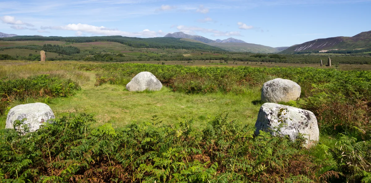
Machrie Moor Stone Circles
Hill forts · 1.0 km

Machrie Moor Stone Circle 2
Stone circles · 1.1 km

Machrie Moor Stone Circle 1
Stone circles · 1.2 km

Machrie Moor Stone Circle 11
Stone circles · 1.2 km

Machrie Bay
Natural landmarks · 1.6 km

Ballymichael Burn Stone Circle
Stone circles · 1.8 km

Torr Righ Mór
Mountains & hills · 2.0 km
Torr Righ Mor
Mountains & hills · 2.0 km

standing stone 1100m NE of Machrie Farm
Windmills · 2.1 km
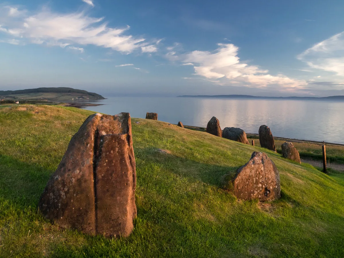
Auchagallon Stone Circle
Hill forts · 2.1 km
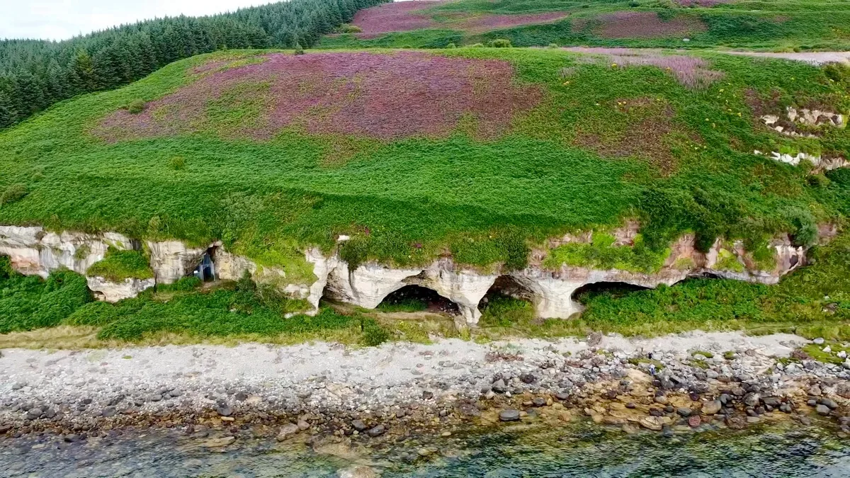
King's Cave
Mountains & hills · 2.4 km
Nearby
📷 3Stone circles · Scottish Lowlands
Machrie Moor Stone Circle 3
Machrie Moor Stone Circle 3 — a stone circle in scotland-highlands, United Kingdom.
📷 5Hill forts · Scottish Lowlands
Machrie Moor Stone Circles
Machrie Moor Stone Circles — archaeological site in North Ayrshire, Scotland, UK.
📷 3Stone circles · Scottish Lowlands
Machrie Moor Stone Circle 2
Machrie Moor Stone Circle 2 — a stone circle in scotland-highlands, United Kingdom.
📷 3Stone circles · Scottish Lowlands
Machrie Moor Stone Circle 1
Machrie Moor Stone Circle 1 — a stone circle in scotland-highlands, United Kingdom.
📷 3Stone circles · Scottish Lowlands
Machrie Moor Stone Circle 11
Machrie Moor Stone Circle 11 — a stone circle in scotland-highlands, United Kingdom.
📷 5Natural landmarks · Scottish Lowlands
Machrie Bay
Machrie Bay — a natural feature in scotland highlands.
Where to eat & stay near Moss Farm Road Stone Circle
Places to stay
 📷 5
📷 5Campsites · Scottish Lowlands
Balmichael Glamping
Balmichael Glamping — a campsite in scotland highlands.
 📷 5
📷 5 📷 5
📷 5Caravan parks · Scottish Lowlands
Carradale Bay Caravan Park
Carradale Bay Caravan Park — a caravan park in scotland highlands.
 📷 5
📷 5Campsites · Scottish Lowlands
Glen Rosa Campsite
Glen Rosa Campsite — a campsite in scotland highlands.
 📷 5
📷 5Hostels · Scottish Lowlands
Shore Lodge
Shore Lodge — a hostel in scotland highlands.
 📷 5
📷 5Hostels · Scottish Lowlands
Brodick Bunkhouse
Brodick Bunkhouse — a hostel in scotland highlands.
Places to eat & drink
 📷 6
📷 6Historic pubs · Scottish Lowlands
Corrie Hotel
Corrie Hotel in Scotland Central, United Kingdom.
 📷 5
📷 5Historic pubs · Scottish Lowlands
40 Main Street, Campbeltown
40 Main Street, Campbeltown in Northern Ireland, United Kingdom.
 📷 5
📷 5Cafés · Scottish Lowlands
Glenbarr Abbey - Clan Macalister Museum & Tea Room
Glenbarr Abbey - Clan Macalister Museum & Tea Room — a café in scotland highlands.
More places in this region
📷 3Hill forts · Scottish Lowlands
Auchagallon Stone Circle
Auchagallon Stone Circle — archaeological site in North Ayrshire, Scotland, UK.
📷 5Hill forts · Scottish Lowlands
Machrie Moor Stone Circles
Machrie Moor Stone Circles — archaeological site in North Ayrshire, Scotland, UK.
 📷 3
📷 3Hill forts · Scottish Lowlands
Trudernish Point, Hillfort
Trudernish Point, Hillfort — a hill fort in scotland-highlands, United Kingdom.
 📷 3
📷 3Hill forts · Scottish Lowlands
Putechantuy Hillfort
Putechantuy Hillfort — a hill fort in scotland-highlands, United Kingdom.
Frequently asked questions
- Where is Moss Farm Road Stone Circle?
- Moss Farm Road Stone Circle is in the Scottish Highlands, United Kingdom (postcode KA27 8DX).
- What is Moss Farm Road Stone Circle?
- Moss Farm Road Stone Circle — archaeological site in North Ayrshire, Scotland, UK.
- How do I get to Moss Farm Road Stone Circle?
- Drivers can use postcode KA27 8DX.
- Who owns Moss Farm Road Stone Circle?
- Moss Farm Road Stone Circle is owned by Historic Scotland.
- Is Moss Farm Road Stone Circle free to visit?
- Yes, Moss Farm Road Stone Circle is free to enter.
- How do I get to Moss Farm Road Stone Circle?
- Drivers can navigate to postcode KA27 8DX. It sits within the North Ayrshire and Arran parliamentary constituency.