
Vineyards · South East England
Medieval settlement 100m south east and 350m north east of East Ashey Manor Farm
In or near Binstead.
Medieval settlement 100m south east and 350m north east of East Ashey Manor Farm — a UK vineyard in england south east, producing English or Welsh wine from cool-climate grape varieties.

Peter Trimming — CC BY-SA 2.0 via Wikimedia Commons licence

Plan your visit
- Typical visit
- 1 h–2 h
- Best time of year
- Late summer & autumn (Aug–Oct)
- Nearest railway station
- Ashey · 0.9 km
About
Medieval settlement 100m south east and 350m north east of East Ashey Manor Farm is one of Britain's growing number of vineyards, located in england south east. UK viticulture has expanded significantly since the 1980s, with English sparkling wines now winning international awards. Most British vineyards offer tours and tastings of their estate-grown wines. human settlement in Brading, Isle of Wight, England, UK
Photo gallery
Protected designations
- Area of Outstanding Natural Beauty: Isle Of Wight
- Ramsar wetland: Solent & Southampton Water
Designations sourced from Natural England open data under OGL v3.
Place summary
The Medieval settlement located 100m south-east and 350m north-east of East Ashey Manor Farm in South-East England is a vineyard. Visitors can expect a rural setting that combines historical significance with viticulture. The vineyard offers an opportunity to explore the wine-making process in a landscape steeped in history.
AI-generated from the structured facts on this page (operator, designation, listing, era). Not a substitute for visiting.
- Coordinates
- 50.6918, -1.1726
- District
- Isle of Wight
- Parish
- Brading
- Postcode
- PO33 4AS
- Parliamentary constituency
- Isle of Wight East
- Nearest railway station
- Ashey — 0.9 km
Sources
- wikidata: Q17662837 (CC0)
Other places nearby

Eaglehead & Bloodstone Copses Nature Reserve
Forests & woodlands · 0.8 km

Nunwell House and Garden
Gardens · 1.3 km

Sea Mark
Memorials & monuments · 1.3 km
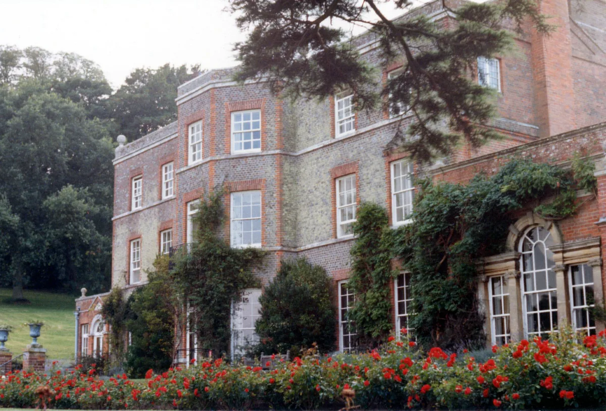
Nunwell House
Stately homes · 1.4 km

Great Whitefield Manor
Manor houses · 1.4 km

Brading Down
Mountains & hills · 1.4 km

Kemphill
Mountains & hills · 2.0 km

Smallbrook Stadium
Stadiums · 2.2 km

Sunrise Hill Camping
Campsites · 2.3 km

Whitefield Forest Campsite
Campsites · 2.3 km

Lilliput Doll and Toy Museum
Museums · 2.3 km
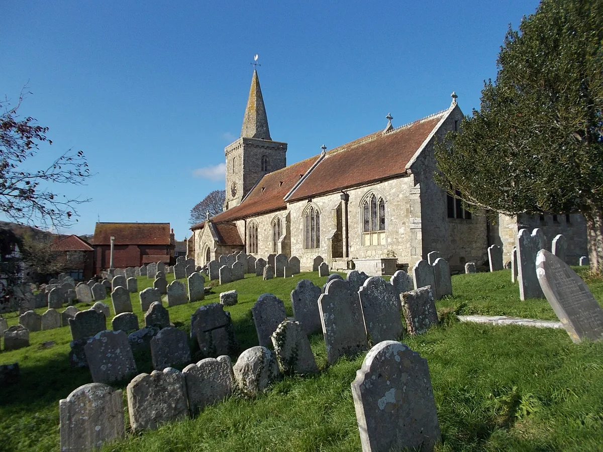
St. Mary's Church, Brading
Historic churches · 2.3 km
Nearby
📷 5Forests & woodlands · South East England
Eaglehead & Bloodstone Copses Nature Reserve
Eaglehead & Bloodstone Copses Nature Reserve is a forest or woodland in the United Kingdom.
📷 5Gardens · South East England
Nunwell House and Garden
Nunwell House and Garden — a garden in england-south-east, United Kingdom.
📷 5Memorials & monuments · South East England
Sea Mark
Sea Mark is a memorial in the United Kingdom.
📷 5Stately homes · South East England
Nunwell House
Nunwell House — country house in Brading, Isle of Wight, England, UK.
📷 5Manor houses · South East England
Great Whitefield Manor
Great Whitefield Manor — Grade II listed building-listed manor in england-south-east, United Kingdom.
📷 5Mountains & hills · South East England
Brading Down
Brading Down — a hill or mountain in england south east.
Where to eat & stay near Medieval settlement 100m south east and 350m north east of East Ashey Manor Farm
Places to stay
📷 5Campsites · South East England
Sunrise Hill Camping
Sunrise Hill Camping — a campsite in england south east.
📷 5Campsites · South East England
Whitefield Forest Campsite
Whitefield Forest Campsite — a campsite in england south east.
📷 5Campsites · South East England
Beaper Farm Campsite
Beaper Farm Campsite — a campsite in england south east.
 📷 5
📷 5Caravan parks · South East England
Alverstone Ponds
Alverstone Ponds — a caravan park in england south east.
 📷 5
📷 5Caravan parks · South East England
Carpenters Farm Campsite
Carpenters Farm Campsite — a caravan park in england south east.
 📷 5
📷 5Caravan parks · South East England
Fairway Holiday Park
Fairway Holiday Park — a caravan park in england south east.
Places to eat & drink
 📷 7
📷 7Historic pubs · South East England
The Swans Nest
The Swans Nest in England South East, United Kingdom.
 📷 2
📷 2Historic pubs · South East England
The Castle Hotel
The Castle Hotel in England South East, United Kingdom.
 📷 7
📷 7Historic pubs · South East England
Wellington Tavern
Wellington Tavern in England South East, United Kingdom.
 📷 5
📷 5Restaurants · South East England
Vernon Cottage
Vernon Cottage — a restaurant in england south east.
 📷 7
📷 7Cafés · South East England
Pencil Cottage
Pencil Cottage — a café in england south east.
 📷 7
📷 7Historic pubs · South East England
King Harry's Bar
King Harry's Bar in England South East, United Kingdom.
More places in this region
 📷 5
📷 5Vineyards · South East England
Albury Organic Vineyard
Albury Organic Vineyard is a vineyard in the United Kingdom.
 📷 5
📷 5Vineyards · South East England
Denbies Wine Estate
Denbies Wine Estate is a vineyard in the United Kingdom.
 📷 5
📷 5Vineyards · South East England
Boughton Quarry Camp
Boughton Quarry Camp — a UK vineyard in england london, producing English or Welsh wine from cool-climate grape varieties.
 📷 5
📷 5Vineyards · South East England
Iron Age promontory fort in Castlehill Wood
Iron Age promontory fort in Castlehill Wood — a UK vineyard in england london, producing English or Welsh wine from cool-climate grape varieties.
Frequently asked questions
- Where is Medieval settlement 100m south east and 350m north east of East Ashey Manor Farm?
- Medieval settlement 100m south east and 350m north east of East Ashey Manor Farm is in South-East England, United Kingdom (postcode PO33 4AS), in the parish of Brading.
- What is Medieval settlement 100m south east and 350m north east of East Ashey Manor Farm?
- Medieval settlement 100m south east and 350m north east of East Ashey Manor Farm — a UK vineyard in england south east, producing English or Welsh wine from cool-climate grape varieties.
- How do I get to Medieval settlement 100m south east and 350m north east of East Ashey Manor Farm?
- The nearest railway station is Ashey, about 0.9 km away. Drivers can use postcode PO33 4AS.
- Is Medieval settlement 100m south east and 350m north east of East Ashey Manor Farm a protected site?
- Yes — Medieval settlement 100m south east and 350m north east of East Ashey Manor Farm is part of the Isle Of Wight National Landscape (AONB) and the Solent & Southampton Water Ramsar wetland.
- How do I get to Medieval settlement 100m south east and 350m north east of East Ashey Manor Farm?
- The nearest railway station is Ashey, about 0.9 km away. Drivers can navigate to postcode PO33 4AS.