Mountains & hills · Scottish Highlands
Meall a'Ghlamaidh
Meall a'Ghlamaidh — mountain in scotland highlands. Elevation: 79 m.

John Ferguson — CC BY-SA 2.0 via Wikimedia Commons licence
Plan your visit
- Typical visit
- 3 h–8 h
- Best time of year
- Late spring – early autumn (May–Oct)
About
Meall a'Ghlamaidh is a mountain located in scotland highlands. Elevation: 79 m. A named British peak recorded in OpenStreetMap. Peaks are typically named on Ordnance Survey 1:50k mapping.
Photo gallery
Place summary
Meall a'Ghlamaidh is a mountain located in the Scottish Highlands. It is characterised by its rugged terrain and scenic views typical of the region. The mountain offers opportunities for hiking and outdoor activities, appealing to both experienced walkers and those seeking to explore the natural landscape.
AI-generated from the structured facts on this page (operator, designation, listing, era). Not a substitute for visiting.
- Coordinates
- 55.6788, -5.7677
Sources
- osm: n3784604829 (ODbL)
Other places nearby
Loading nearby places…
Nearby
📷 5Mountains & hills · Scottish Highlands
Meall a' Ghlamaidh
Meall a' Ghlamaidh — a hill or mountain in scotland highlands.
 Flagship📷 5
Islands · Scottish Highlands
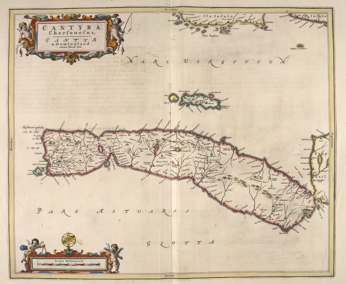
Isle of Gigha
Isle of Gigha — island off the west coast of Kintyre, Argyll and Bute, Scotland, UK.
 📷 5
📷 5Islands · Scottish Highlands
Gigalum Island
Gigalum Island — island in Argyll and Bute, Scotland, UK.
 📷 5
📷 5Mountains & hills · Scottish Highlands
Cnoc Coille Bharr
Cnoc Coille Bharr — mountain in scotland highlands. Elevation: 69 m.
 📷 5
📷 5Archaeological sites · Scottish Highlands
Dun Chibhic
Dun Chibhic — a archaeological in scotland-highlands, United Kingdom.
📷 5Archaeological sites · Scottish Highlands
Dun Chibhic
Dun Chibhic — archaeological in scotland highlands. Operated by Historic Environment Scotland.
Where to eat & stay near Meall a'Ghlamaidh
Places to stay
 📷 5
📷 5Hotels · Scottish Highlands
Gigha Hotel
Gigha Hotel — a hotel in scotland highlands.
 📷 5
📷 5Campsites · Scottish Highlands
Gigha Camp and Motorhome Site
Gigha Camp and Motorhome Site — a campsite in scotland highlands.
 📷 5
📷 5Caravan parks · Scottish Highlands
Point Sands Holiday Park
Point Sands Holiday Park — a caravan park in scotland highlands.
 📷 2
📷 2Caravan parks · Scottish Highlands
Killegruer Caravan and Campsite
Killegruer Caravan and Campsite — a caravan park in scotland highlands.
 📷 5
📷 5Campsites · Scottish Highlands
Port Bàn Holiday Park
Port Bàn Holiday Park — a campsite in scotland highlands.
 📷 5
📷 5Campsites · Scottish Highlands
Jura Hotel campsite
Jura Hotel campsite — a campsite in scotland highlands.

More mountains in this region
 📷 3
📷 3Mountains & hills · Scottish Highlands
A' Bhuidheanach Bheag
A' Bhuidheanach Bheag — Named summit at 936 m.
 📷 3
📷 3Mountains & hills · Scottish Highlands
A' Chailleach
A' Chailleach — Named summit at 997 m.
 📷 3
📷 3Mountains & hills · Scottish Highlands
A' Chailleach
A' Chailleach — Named summit at 930 m.
 📷 3
📷 3Mountains & hills · Scottish Highlands
A' Chaoirnich
A' Chaoirnich — Named summit at 875 m.
Frequently asked questions
- Where is Meall a'Ghlamaidh?
- Meall a'Ghlamaidh is in the Scottish Highlands, United Kingdom.
- What is Meall a'Ghlamaidh?
- Meall a'Ghlamaidh — mountain in scotland highlands. Elevation: 79 m.
- How do I get to Meall a'Ghlamaidh?
- Its coordinates are 55.6788°, -5.7677°.