
Islands · Scottish Lowlands
Isle of Gigha
Also known as: Giogha
In or near Tayinloan.
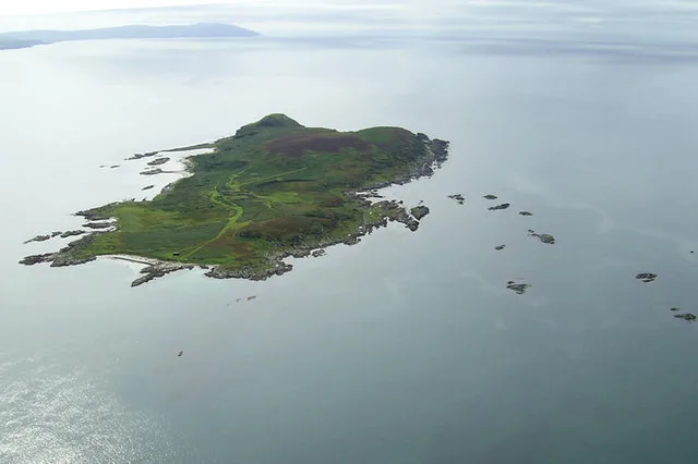
Isle of Gigha — island off the west coast of Kintyre, Argyll and Bute, Scotland, UK.

Wikimedia Commons contributors — see linked file page for photographer and licence licence

Plan your visit
- Typical visit
- 4 h–12 h
- Free entry
- Dog-friendly
Getting there & planning your visit
The Isle of Gigha is located in the Scottish Highlands, with the postcode PA41 7AA. Entry to the island is free. There is no nearest railway station mentioned, and it may be remote for direct public transport access.
About
Isle of Gigha is a island in the United Kingdom. It covers approximately 1,395 km². Recent population estimates put it at around 163 people. Owned by Isle of Gigha Heritage Trust. Part of Inner Hebrides. Wikidata describes it as: "island off the west coast of Kintyre, Argyll and Bute, Scotland, UK". Coordinates: 55.6833°, -5.7500°.
Photo gallery
Summary from the official site
The Isle of Gigha is known for its rich cultural heritage and natural beauty, featuring a variety of Scots place-names that reflect its historical significance. Visitors can explore the island's landscapes, learn about the Scots language, and appreciate the unique dialects and names that have evolved over centuries.
From the Wikipedia article
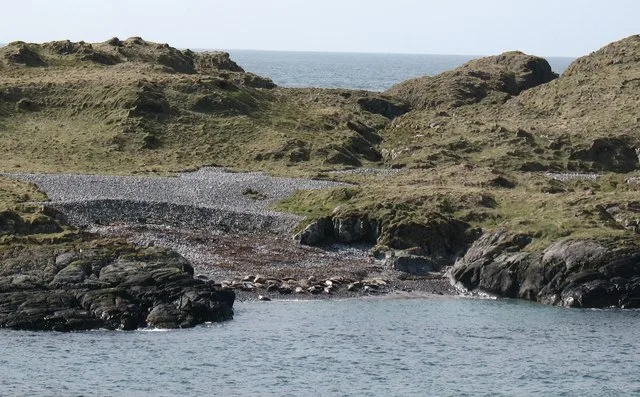
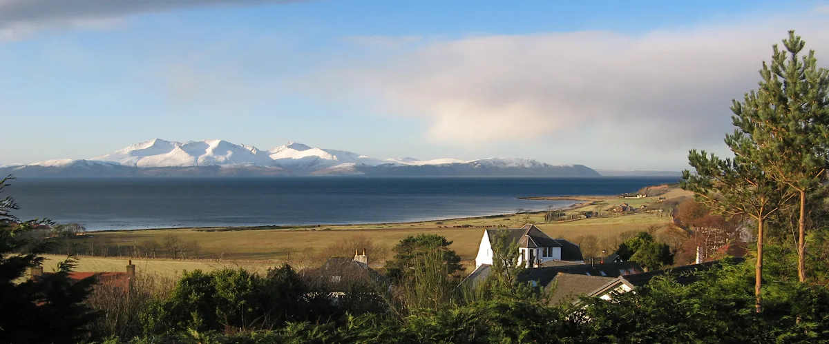
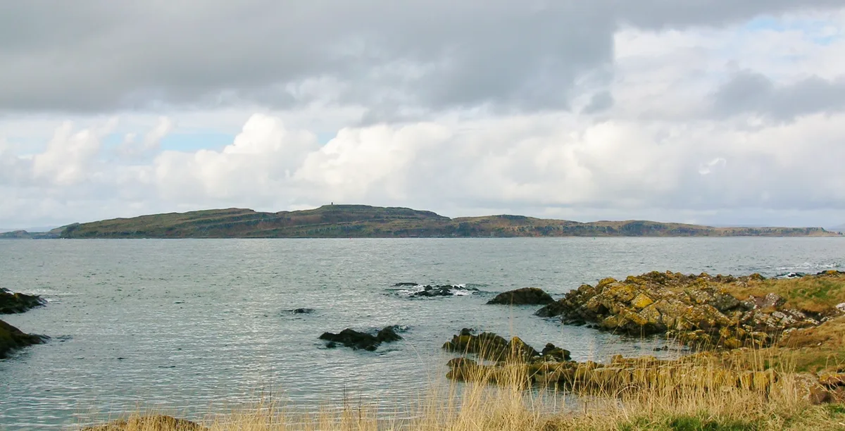
Gigha ( GHEE-ə; Scottish Gaelic: Giogha; Scots: Gigha) or the Isle of Gigha (and formerly Gigha Island) is an island off the west coast of Kintyre in Scotland. The island forms part of Argyll and Bute and has a population of 187 people as of 2022. The climate is mild, with more sunshine hours than the Scottish average, and the soils are fertile. The main settlement is Ardminish. Gigha has been inhabited continuously since prehistoric times. It may have had an important role during the Kingdom of Dalriada and is the ancestral home of Clan MacNeill. It fell under the control of the Norse and the Lords of the Isles before becoming incorporated into modern Scotland and saw a variety of conflicts during the medieval period. The population of Gigha peaked at over 700 in the 18th century, but during the 20th century the island had numerous owners, which caused various problems in developing the island. At the beginning of the 21st century the population had fallen to 98, however a "community buy-out" in 2002 has transformed the island, which now has a growing population and a variety of new commercial activities to complement farming and tourism. Attractions on the island include Achamore Gardens and the abundant wildlife, especially seabirds. There have been numerous shipwrecks on the surrounding rocks and skerries.
Excerpt from Wikipedia under CC BY-SA 4.0. See the source article linked in Sources below.
Background
History
Gigha has been inhabited continuously since prehistoric times, and there are several standing stones on the island. There are many other archaeological sites, including cairns, duns and an ogham stone near to Kilchattan, which has not been deciphered. stone]] In the Early Historic Period The domain of the Cenél nGabraín appears to have been centred on Kintyre and Knapdale and may have included Arran, Jura and Gigha. The title king of Kintyre is used of a number of presumed kings of the Cenél nGabrain. This would have made Gigha part of Dalriada. There is some evidence to show that the island might have been the seat of power for Conall mac Comgall, King of Dalriada, in the mid to late 6th…
Description
Attractions on the island include the 20.2 ha Achamore Gardens, begun in 1945 by Sir James Horlick and known for its rhododendrons and azaleas, the many sandy beaches and the thirteenth century St Catan's Chapel ruins. There is also a nine-hole golf course.
Sourced from Wikipedia under CC BY-SA 4.0.
- Coordinates
- 55.6833, -5.7500
- District
- Argyll and Bute
- Postcode
- PA41 7AA
- Parliamentary constituency
- Argyll, Bute and South Lochaber
- Population
- 163
- Official site
- d3lmsxlb5aor5x.cloudfront.net
Sources
- wikidata: Q506284 (CC0)
- wikipedia: Gigha (CC BY-SA 4.0)
- commons: Blaeu - Atlas of Scotland 1654 - CANTYRA - Kintyre.jpg (CC BY-SA 4.0)
Other places nearby

Gigalum Island
Islands · 0.0 km

Dun Chibhic
Archaeological sites · 0.4 km
Dun Chibhic
Archaeological sites · 0.4 km

Achamhinish, dun site
Archaeological sites · 0.8 km

Gigha Parish Church
Historic churches · 0.8 km

Cnoc Coille Bharr
Mountains & hills · 0.9 km

Dunan Buidhe, dun
Archaeological sites · 0.9 km

Dunan Buidhe, dun
Archaeological sites · 0.9 km

Gigha Mill
Watermills · 1.0 km

Gigha Gallery
Galleries · 1.1 km

Gigha Camp and Motorhome Site
Campsites · 1.1 km

Gigha Hotel
Hotels · 1.1 km
Nearby
📷 5Islands · Scottish Lowlands
Gigalum Island
Gigalum Island — island in Argyll and Bute, Scotland, UK.
📷 5Archaeological sites · Scottish Lowlands
Dun Chibhic
Dun Chibhic — a archaeological in scotland-highlands, United Kingdom.
📷 5Archaeological sites · Scottish Lowlands
Dun Chibhic
Dun Chibhic — archaeological in scotland highlands. Operated by Historic Environment Scotland.
📷 3Archaeological sites · Scottish Lowlands
Achamhinish, dun site
Achamhinish, dun site — a archaeological in scotland-highlands, United Kingdom.
📷 5Historic churches · Scottish Lowlands
Gigha Parish Church
Gigha Parish Church — category B listed building-listed church in scotland-highlands, United Kingdom.
📷 5Mountains & hills · Scottish Lowlands
Cnoc Coille Bharr
Cnoc Coille Bharr — mountain in scotland highlands. Elevation: 69 m.
Where to eat & stay near Isle of Gigha
Places to stay
📷 5Campsites · Scottish Lowlands
Gigha Camp and Motorhome Site
Gigha Camp and Motorhome Site — a campsite in scotland highlands.
📷 5 📷 5
📷 5Caravan parks · Scottish Lowlands
Point Sands Holiday Park
Point Sands Holiday Park — a caravan park in scotland highlands.
 📷 5
📷 5Caravan parks · Scottish Lowlands
Killegruer Caravan and Campsite
Killegruer Caravan and Campsite — a caravan park in scotland highlands.
 📷 5
📷 5Campsites · Central Scotland
Port Bàn Holiday Park
Port Bàn Holiday Park — a campsite in scotland highlands.
 📷 5
📷 5Caravan parks · Scottish Lowlands
Carradale Bay Caravan Park
Carradale Bay Caravan Park — a caravan park in scotland highlands.
Places to eat & drink
 📷 5
📷 5Cafés · Scottish Lowlands
Glenbarr Abbey - Clan Macalister Museum & Tea Room
Glenbarr Abbey - Clan Macalister Museum & Tea Room — a café in scotland highlands.
More places in this region
 Flagship📷 5
Islands · Scottish Lowlands
Cara Island
Cara Island — small island located off the west coast of Kintyre in Scotland.
 Flagship📷 5
Islands · Scottish Lowlands
Eilean Mhic Coinnich
Eilean Mhic Coinnich — island off the coast of Islay in Argyll and Bute, Scotland, UK.
 Flagship📷 5
Islands · Scottish Lowlands
Isle of Arran
Isle of Arran — the largest island in the Firth of Clyde, Scotland.
 Flagship📷 5
Islands · Scottish Lowlands
Little Cumbrae Island
Little Cumbrae Island — island in the Firth of Clyde, Scotland, United Kingdom.
Frequently asked questions
- Where is Isle of Gigha?
- Isle of Gigha is in the Scottish Lowlands, United Kingdom (postcode PA41 7AA).
- What is Isle of Gigha?
- Isle of Gigha — island off the west coast of Kintyre, Argyll and Bute, Scotland, UK.
- How do I get to Isle of Gigha?
- The nearest town is Tayinloan. Drivers can use postcode PA41 7AA.
- Who owns Isle of Gigha?
- Isle of Gigha is owned by Isle of Gigha Heritage Trust.
- Is Isle of Gigha free to visit?
- Yes, Isle of Gigha is free to enter.
- How do I get to Isle of Gigha?
- Drivers can navigate to postcode PA41 7AA. It sits within the Argyll, Bute and South Lochaber parliamentary constituency.