Islands · Scottish Highlands
Gigalum Island
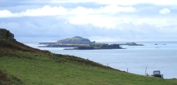
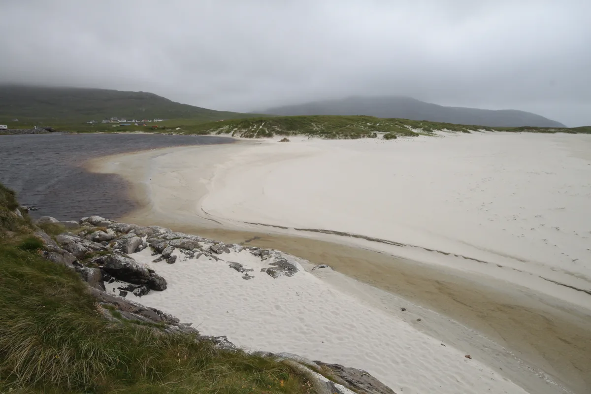
Gigalum Island — island in Argyll and Bute, Scotland, UK.

Wikimedia Commons contributors — see linked file page for photographer and licence licence
Plan your visit
- Typical visit
- 4 h–12 h
- Free entry
- Dog-friendly
About
Gigalum Island is a island in the United Kingdom. Part of Inner Hebrides. Wikidata describes it as: "island in Argyll and Bute, Scotland, UK". Coordinates: 55.6833°, -5.7500°.
Photo gallery
From the Wikipedia article
Gigalum Island or Gigalum is a tiny, private uninhabited island off the southeast coast of Gigha in Scotland. Gigalum has a medieval house in the middle, and gives its name to the strait between it and the main island, "Caolas Gigalum". There is also the "Gigalum Rocks" a reef to the east, and about one mile (1.5 kilometres) north-northeast of Gigalum Island itself, "Sgeir Gigalum". It is also flanked by another islet, "Eilean na h-Uilinn", literally "Island of the Elbow".
Excerpt from Wikipedia under CC BY-SA 4.0. See the source article linked in Sources below.
- Coordinates
- 55.6833, -5.7500
- District
- Argyll and Bute
- Postcode
- PA41 7AA
- Parliamentary constituency
- Argyll, Bute and South Lochaber
Sources
- wikidata: Q3105456 (CC0)
- wikipedia: Gigalum Island (CC BY-SA 4.0)
- commons: View to Gigalum Island.jpg (CC BY-SA 4.0)
Other places nearby
Loading nearby places…
Nearby
 Flagship📷 5
Islands · Scottish Highlands
Isle of Gigha
Isle of Gigha — island off the west coast of Kintyre, Argyll and Bute, Scotland, UK.
 📷 5
📷 5Archaeological sites · Scottish Highlands
Dun Chibhic
Dun Chibhic — a archaeological in scotland-highlands, United Kingdom.
 📷 3
📷 3Archaeological sites · Scottish Highlands
Achamhinish, dun site
Achamhinish, dun site — a archaeological in scotland-highlands, United Kingdom.
 📷 5
📷 5Historic churches · Scottish Highlands
Gigha Parish Church
Gigha Parish Church — category B listed building-listed church in scotland-highlands, United Kingdom.
 📷 3
📷 3Archaeological sites · Scottish Highlands
Dunan Buidhe, dun
Dunan Buidhe, dun — a archaeological in scotland-highlands, United Kingdom.
 📷 3
📷 3Watermills · Scottish Highlands
Gigha Mill
Gigha Mill is a watermill in the United Kingdom.
More places in this region
 📷 5
📷 5Islands · Scottish Highlands
Bac Beag
Bac Beag — Scottish island, part of the Treshnish Isles in the Inner Hebrides.
 📷 5
📷 5Islands · Scottish Highlands
Bac Mòr
Bac Mòr — island in Argyll and Bute, Scotland, UK, one of the Treshnish Isles.
 Flagship📷 3
Islands · Scottish Highlands
Baleshare
Baleshare — flat tidal island in the Outer Hebrides, Scotland, UK.
 Flagship📷 5
Islands · Scottish Highlands
Barra
Barra — island in Outer Hebrides, Scotland, UK.
Frequently asked questions
- Where is Gigalum Island?
- Gigalum Island is in the Scottish Highlands, United Kingdom (postcode PA41 7AA).
- Is Gigalum Island free to visit?
- Yes, Gigalum Island is free to enter.
- How do I get to Gigalum Island?
- Drivers can navigate to postcode PA41 7AA. It sits within the Argyll, Bute and South Lochaber parliamentary constituency.