
Beaches · South Wales
Marros Sands
Marros Sands is a beach in the United Kingdom.

Alan Bowring — CC BY-SA 2.0 via Wikimedia Commons licence

Plan your visit
- Typical visit
- 1 h–3 h
- Best time of year
- Summer (Jun–Aug)
- Nearest railway station
- Kilgetty · 5.9 km
- Free entry
- Family-friendly
- Dog-friendly
About
Marros Sands is a named beach on the United Kingdom coastline. Coordinates: 51.7311°, -4.6287°. This entry is part of The Great Britain Guide, a free, ad-free, open-data tourist directory.
Photo gallery
From the Wikipedia article
Marros Sands is a beach in Carmarthenshire between Amroth and Pendine and to the south of the small settlement of Marros. The beach is separated from Amroth beach to the west by Telpyn Point and from Morfabychan beach to the east by Ragwen Point. The land to the north of the beach is formed from cliffs and hillside that slopes steeply up towards Marros Beacon. There are caves towards the western end. The beach is mostly a storm bank of stones and gravel above Mean High Water with a large mostly sandy beach appearing when the tide is lower. It was described in 1844 as "a fine sandy beach, a few miles in length, and well-adapted for sea-bathing from the shallowness of the water for a considerable distance from the shore" and more recently as "relatively unspoilt" when compared to the tourist honeypots nearby. An area of submerged alder, oak and willow forest 100 m wide and 2 km long and dating from 4000/6000 years ago can be seen at low tides. It was particularly visible in 1976. Flint knapping remains have been found on the beach and on Top Castle on Marros Beacon above the beach. Historically blue clay and other materials were extracted from the beach. The cliffs at Marros Beach give their name to rocks of the Marros Group. On 8 December 1886 Rover a 71 ft schooner carrying a cargo of culm from Saundersfoot to Wexford was deliberately beached on Marros Sands in a Force 11 gale to avoid sinking. Its wreckage was further exposed by the storms of early 2014 and subsequently surveyed. Due to its seclusion and quietness the beach is sometimes used by naturists. Along with Pendine Sands the beach forms part of the Marros-Pendine Coast Site of Special Scientific Interest.
Excerpt from Wikipedia under CC BY-SA 4.0. See the source article linked in Sources below.
- Coordinates
- 51.7311, -4.6287
- District
- Carmarthenshire
- Parish
- Eglwyscummin
- Postcode
- SA67 8NR
- Parliamentary constituency
- Caerfyrddin
- Nearest railway station
- Kilgetty — 5.9 km
Sources
- osm: w1493547696 (ODbL)
- wikipedia: Marros Sands (CC BY-SA 4.0)
Other places nearby
Loading nearby places…
Nearby
 📷 5
📷 5Campsites · South Wales
Hannah's Plain
Hannah's Plain — a campsite in wales south.
 📷 3
📷 3Castles · South Wales
Top Castle
Top Castle — a castle in wales-south, United Kingdom.
 📷 5
📷 5Mountains & hills · South Wales
Top Castle
Top Castle — mountain in wales south. Elevation: 92 m.
 📷 3
📷 3Archaeological sites · South Wales
Trelessy Defended Enclosure
Trelessy Defended Enclosure — a archaeological in wales-south, United Kingdom.
 📷 3
📷 3Castles · South Wales
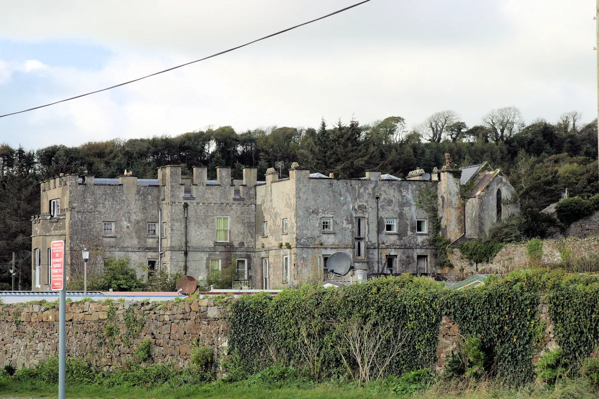
Amroth Castle
Amroth Castle — Grade I listed castle in Amroth, United Kingdom.

Vineyards · South Wales
Woodreefe Castle
Woodreefe Castle — a UK vineyard in wales south, producing English or Welsh wine from cool-climate grape varieties.
More beaches in this region
 📷 3
📷 3Beaches · South Wales
ABCC Meeting Point
ABCC Meeting Point is a beach in the United Kingdom.
 📷 3
📷 3Beaches · South Wales
Aber Castle
Aber Castle is a beach in the United Kingdom.
 📷 3
📷 3Beaches · South Wales
Aber Mawr
Aber Mawr is a beach in the United Kingdom.
 📷 4
📷 4Beaches · South Wales
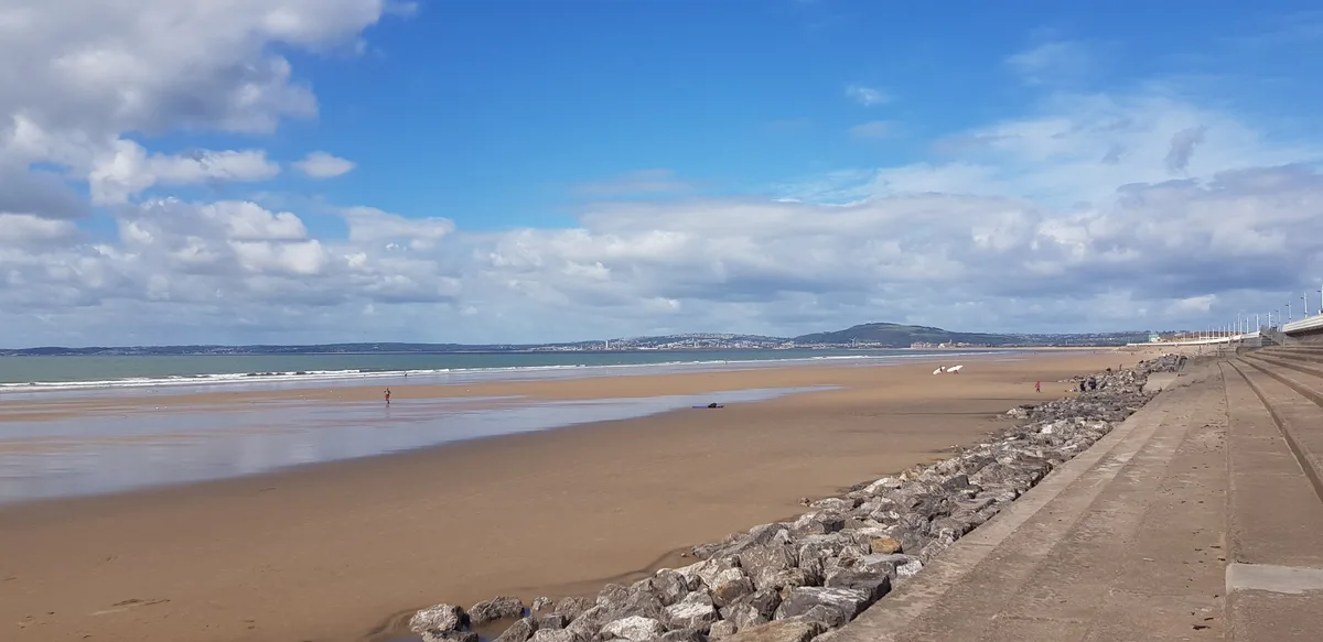
Aberavon Beach
Aberavon Beach is a beach in the United Kingdom.
Frequently asked questions
- Where is Marros Sands?
- Marros Sands is in South Wales, United Kingdom (postcode SA67 8NR), in the parish of Eglwyscummin.
- What is Marros Sands?
- Marros Sands is a beach in the United Kingdom.
- How do I get to Marros Sands?
- The nearest railway station is Kilgetty, about 5.9 km away. Drivers can use postcode SA67 8NR.
- Is Marros Sands free to visit?
- Yes, Marros Sands is free to enter.
- How do I get to Marros Sands?
- The nearest railway station is Kilgetty, about 5.9 km away. Drivers can navigate to postcode SA67 8NR.