
Mountains & hills · South Wales
Marros Beacon
Marros Beacon — mountain in wales south. Elevation: 140 m.

Alan Hughes — CC BY-SA 2.0 via Wikimedia Commons licence

Plan your visit
- Typical visit
- 3 h–8 h
- Best time of year
- Late spring – early autumn (May–Oct)
- Nearest railway station
- Kilgetty · 7.8 km
- Dog-friendly
About
Marros Beacon is a mountain located in wales south. Elevation: 140 m. A named British peak recorded in OpenStreetMap. Peaks are typically named on Ordnance Survey 1:50k mapping.
Photo gallery
Place summary
Marros Beacon is a mountain located in Eglwyscummin, South Wales, with the postcode SA33. This prominent peak offers panoramic views of the surrounding landscape, making it a notable landmark in the region. The area is popular for walking and outdoor activities, attracting those interested in exploring the natural beauty of South Wales.
AI-generated from the structured facts on this page (operator, designation, listing, era). Not a substitute for visiting.
- Coordinates
- 51.7420, -4.6016
- District
- Carmarthenshire
- Parish
- Eglwyscummin
- Postcode
- SA33 4PW
- Parliamentary constituency
- Caerfyrddin
- Nearest railway station
- Kilgetty — 7.8 km
Sources
- osm: n293075946 (ODbL)
Other places nearby
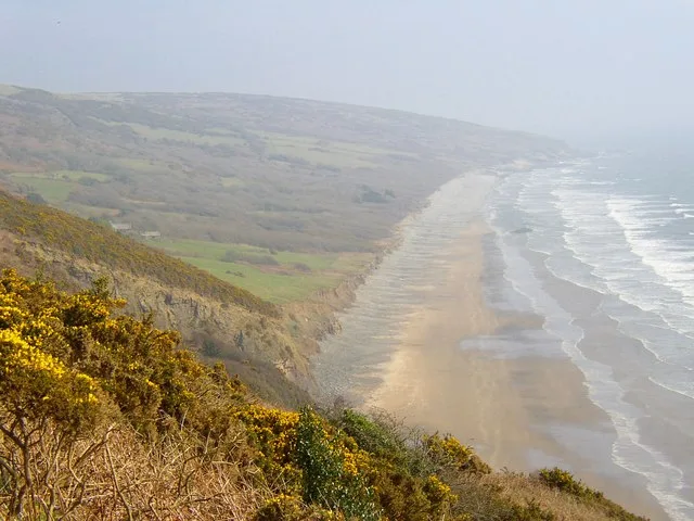
Marros Sands
Beaches · 0.5 km

Church of Saint Lawrence
Historic churches · 0.9 km

The War Memorial, Marros
Memorials & monuments · 1.0 km

Marros
Villages · 1.0 km

Top Castle
Castles · 1.1 km

Top Castle
Mountains & hills · 1.1 km

Springfield Camp Site
Campsites · 1.3 km

Crunwear
Villages · 1.4 km
Coastal Meadows Camping
Campsites · 1.5 km

Thorning Farm Glamping and Camping
Campsites · 1.5 km

Marros Mountain
Mountains & hills · 1.9 km

Morfa Bychan WW2 fortifications
Forts · 2.1 km
Nearby
📷 3Beaches · South Wales
Marros Sands
Marros Sands — beach in Carmarthenshire, Wales, United Kingdom.
📷 5Historic churches · South Wales
Church of Saint Lawrence
Church of Saint Lawrence — Grade II listed building-listed church in wales-south, United Kingdom.
📷 5Memorials & monuments · South Wales
The War Memorial, Marros
The War Memorial, Marros — Grade II listed building-listed memorial in wales-south, United Kingdom.
📷 5📷 3📷 5Where to eat & stay near Marros Beacon
Places to stay
📷 3📷 5📷 5Campsites · South Wales
Thorning Farm Glamping and Camping
Thorning Farm Glamping and Camping — a campsite in wales south.
 📷 5
 📷 5
 📷 5
Places to eat & drink
 📷 7
Restaurants · South Wales
The Stone Crab
The Stone Crab — a restaurant in wales south.
 📷 7
 📷 3
 📷 3
More mountains in this region
 Flagship📷 3
Mountains & hills · South Wales
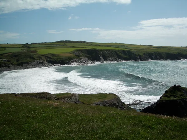
Milford Haven Waterway
Milford Haven Waterway — ria, or flooded valley, in Pembrokeshire, south-west Wales, UK.
 📷 5
Mountains & hills · South Wales
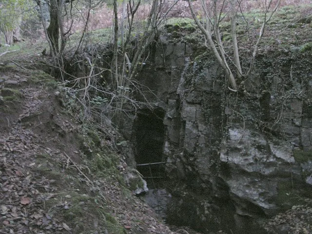
Ogof Ffynnon Ddu
Ogof Ffynnon Ddu — cave in the Upper Swansea Valley in South Wales.
 📷 3
 📷 3
Frequently asked questions
- Where is Marros Beacon?
- Marros Beacon is in South Wales, United Kingdom (postcode SA33 4PW), in the parish of Eglwyscummin.
- What is Marros Beacon?
- Marros Beacon — mountain in wales south. Elevation: 140 m.
- How do I get to Marros Beacon?
- The nearest railway station is Kilgetty, about 7.8 km away. Drivers can use postcode SA33 4PW.
- How do I get to Marros Beacon?
- The nearest railway station is Kilgetty, about 7.8 km away. Drivers can navigate to postcode SA33 4PW.