
Beaches · South Wales
Aber Mawr
In or near St Davids.
Aber Mawr is a beach in the United Kingdom.

Michael Steele — CC BY-SA 2.0 via Wikimedia Commons licence

Plan your visit
- Typical visit
- 1 h–3 h
- Best time of year
- Summer (Jun–Aug)
- Free entry
- Family-friendly
- Dog-friendly
About
Aber Mawr is a named beach on the United Kingdom coastline. Coordinates: 51.8692°, -5.3433°. This entry is part of The Great Britain Guide, a free, ad-free, open-data tourist directory.
Photo gallery
From the Wikipedia article
The Aber Mawr Formation is a geological formation in Wales. It preserves fossils dating back to the Arenig Series of the Ordovician period.
Excerpt from Wikipedia under CC BY-SA 4.0. See the source article linked in Sources below.
- Coordinates
- 51.8692, -5.3433
Sources
- osm: w367580296 (ODbL)
- wikipedia: Aber Mawr Formation (CC BY-SA 4.0)
Other places nearby

Carnysgubor
Mountains & hills · 0.3 km
Carnysgubor
Mountains & hills · 0.4 km
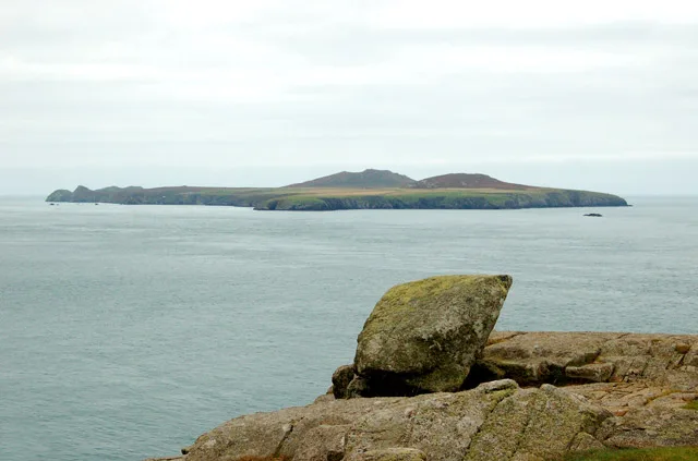
Ramsey Island
Islands · 0.5 km
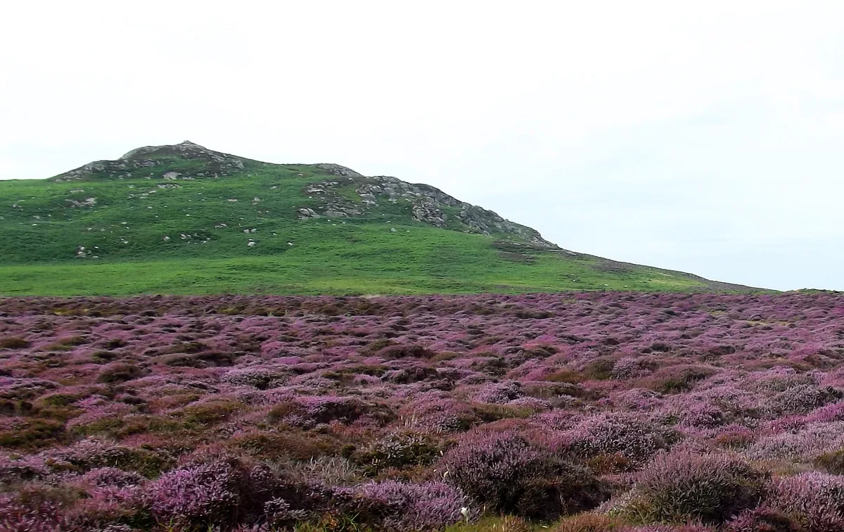
Carnllundain
Mountains & hills · 0.9 km

Ogof Pen-clawdd
Caves · 1.0 km

Bae Ogof Hen
Natural landmarks · 1.1 km

Porth Lleuog
Beaches · 1.2 km

Abermyharan
Beaches · 1.4 km

Trwynmynachdy
Islands · 1.7 km

Foel Fawr
Mountains & hills · 1.8 km

Ynys Cantwr
Islands · 2.0 km

Ynys Bery
Islands · 2.2 km
Nearby
📷 5📷 5📷 5📷 3Mountains & hills · South Wales
Carnllundain
Carnllundain — Named summit at 136 m.
📷 3📷 5Where to eat & stay near Aber Mawr
Places to stay
 📷 5
 📷 5
Campsites · South Wales
Pencarnan Farm Caravan & Camping Site
Pencarnan Farm Caravan & Camping Site — a campsite in wales south.
 📷 5
Campsites · South Wales
Porthclais Farm Campsite
Porthclais Farm Campsite — a campsite in wales south.
 📷 5
Campsites · South Wales
Whitesands Camping
Whitesands Camping — a campsite in wales south.
 📷 5
Campsites · South Wales
Dunes at Whitesands Camping
Dunes at Whitesands Camping — a campsite in wales south.
 📷 5
More beaches in this region
 📷 3
 📷 4
Beaches · South Wales
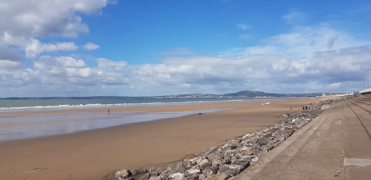
Aberavon Beach
Aberavon Beach is a beach in the United Kingdom.
 📷 4
 📷 3
Frequently asked questions
- Where is Aber Mawr?
- Aber Mawr is in South Wales, United Kingdom.
- What is Aber Mawr?
- Aber Mawr is a beach in the United Kingdom.
- How do I get to Aber Mawr?
- The nearest town is St Davids. Its coordinates are 51.8692°, -5.3433°.
- Is Aber Mawr free to visit?
- Yes, Aber Mawr is free to enter.