
Castles · North West England
Manchester, Bolton and Bury Canal
In or near Manchester.
The Manchester, Bolton and Bury Canal is a disused canal in Greater Manchester, England, built to link Bolton and Bury with Manchester. The canal, when fully opened, was 15 miles 1 furlong (24 km) lon

Alex McGregor — CC BY-SA 2.0 via Wikimedia Commons licence

Plan your visit
- Typical visit
- 1.5 h–3 h
- Nearest railway station
- Clifton · 2.0 km
- Family-friendly
- Limited wheelchair access
Getting there & planning your visit
To visit the Manchester, Bolton and Bury Canal, the nearest railway station is Clifton, located 2 km away. The postcode for navigation is M27 8BY. Accessibility is limited for wheelchair users.
About
The Manchester, Bolton and Bury Canal is a disused canal in Greater Manchester, England, built to link Bolton and Bury with Manchester. The canal, when fully opened, was 15 miles 1 furlong (24 km) long. It was accessed via a junction with the River Irwell in Salford. Seventeen locks were required to climb to the summit as it passed through Pendleton, heading northwest to Prestolee before it split northwest to Bolton and northeast to Bury. Between Bolton and Bury the canal was level and required no locks. Six aqueducts were built to allow the canal to cross the rivers Irwell and Tonge and several minor roads. The canal was commissioned in 1791 by local landowners and businessmen and built between 1791 and 1808, during the Golden Age of canal building, at a cost of £127,700 (£9.7 million today). Originally designed for narrow gauge boats, during its construction the canal was altered into a broad gauge canal to allow an ultimately unrealised connection with the Leeds and Liverpool Canal. The canal company later converted into a railway company and built a railway line close to the canal's path, which required modifications to the Salford arm of the canal. Most of the freight carried was coal from local collieries but, as the mines reached the end of their working lives sections of the canal fell into disuse and disrepair and it was officially abandoned in 1961. In 1987 a society was formed with the aim of restoring the canal for leisure use and, in 2006, restoration began in th
Photo gallery
From the Wikipedia article
The Manchester, Bolton and Bury Canal is a disused canal in Greater Manchester, England, built to link Bolton and Bury with Manchester. The canal, when fully opened, was 15 miles 1 furlong (24 km) long. It was accessed via a junction with the River Irwell in Salford. Seventeen locks were required to climb to the summit as it passed through Pendleton, heading northwest to Prestolee before it split northwest to Bolton and northeast to Bury. Between Bolton and Bury the canal was level and required no locks. Six aqueducts were built to allow the canal to cross the rivers Irwell and Tonge and several minor roads. The canal was commissioned in 1791 by local landowners and businessmen and built between 1791 and 1808, during the Golden Age of canal building, at a cost of £127,700 (£9.7 million today). Originally designed for narrow gauge boats, during its construction the canal was altered into a broad gauge canal to allow an ultimately unrealised connection with the Leeds and Liverpool Canal. The canal company later converted into a railway company and built a railway line close to the canal's path, which required modifications to the Salford arm of the canal. Most of the freight carried was coal from local collieries but, as the mines reached the end of their working lives sections of the canal fell into disuse and disrepair and it was officially abandoned in 1961. In 1987 a society was formed with the aim of restoring the canal for leisure use and, in 2006, restoration began in the area around the junction with the River Irwell in Salford. The canal is currently navigable as far as Oldfield Road, Salford.
Excerpt from Wikipedia under CC BY-SA 4.0. See the source article linked in Sources below.
Background
Architecture
along the Bury arm]] The canal was originally supplied by the River Irwell in Bury, at the Weddell Brook tributary. This proved insufficient for local industry and in 1842 Elton Reservoir at Bury was built to become the canal's principal supply. Robert Fulton had proposed an inclined plane at Nob End, but this design was rejected. The connection with Fletcher's Canal near Clifton Aqueduct was made by a single lock Through these sections the towpath is normally on the side of the canal closest to the river. Six aqueducts were required to allow the canal to cross the River Irwell, the River Tonge and four roads. On the Bolton arm these were Hall Lane Aqueduct, Fogg's Aqueduct and the larger…
Description
There are several notable features along the canal, including Prestolee Aqueduct and Clifton Aqueduct, both of which are Grade II listed structures. Nob End Locks (sometimes referred to as Prestolee Locks) sit at the junction of the three arms of the canal at Nob End. They comprise two sets of three staircase locks, separated by a passing basin. These locks served to lower the level of the canal by 64 ft over a distance of 600 ft. The upper staircase is still visible, but most of the lower staircase was filled in at some point in the 1950s, and much of the stonework was removed. A major breach of the canal along the Bury arm revealed the scale of the engineering used in the construction of…
Sourced from Wikipedia under CC BY-SA 4.0.
- Coordinates
- 53.5082, -2.2959
- District
- Salford
- Parish
- Salford, unparished area
- Postcode
- M27 8BY
- Parliamentary constituency
- Salford
- Established
- 1808
- Nearest railway station
- Clifton — 2 km
Sources
- wikipedia: Manchester, Bolton and Bury Canal (CC BY-SA 4.0)
Other places nearby

Agecroft Cemetery
Cemeteries · 0.3 km
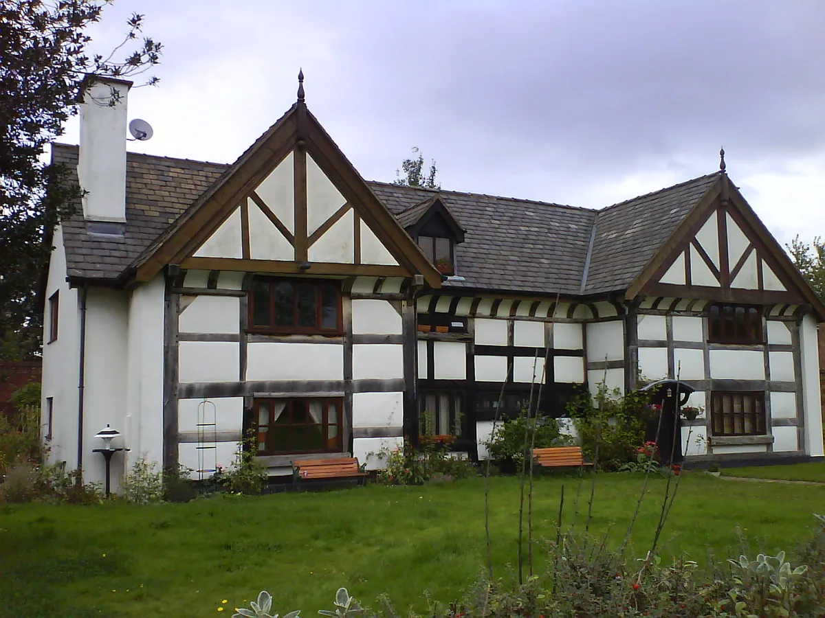
Kersal Cell
Stately homes · 0.5 km
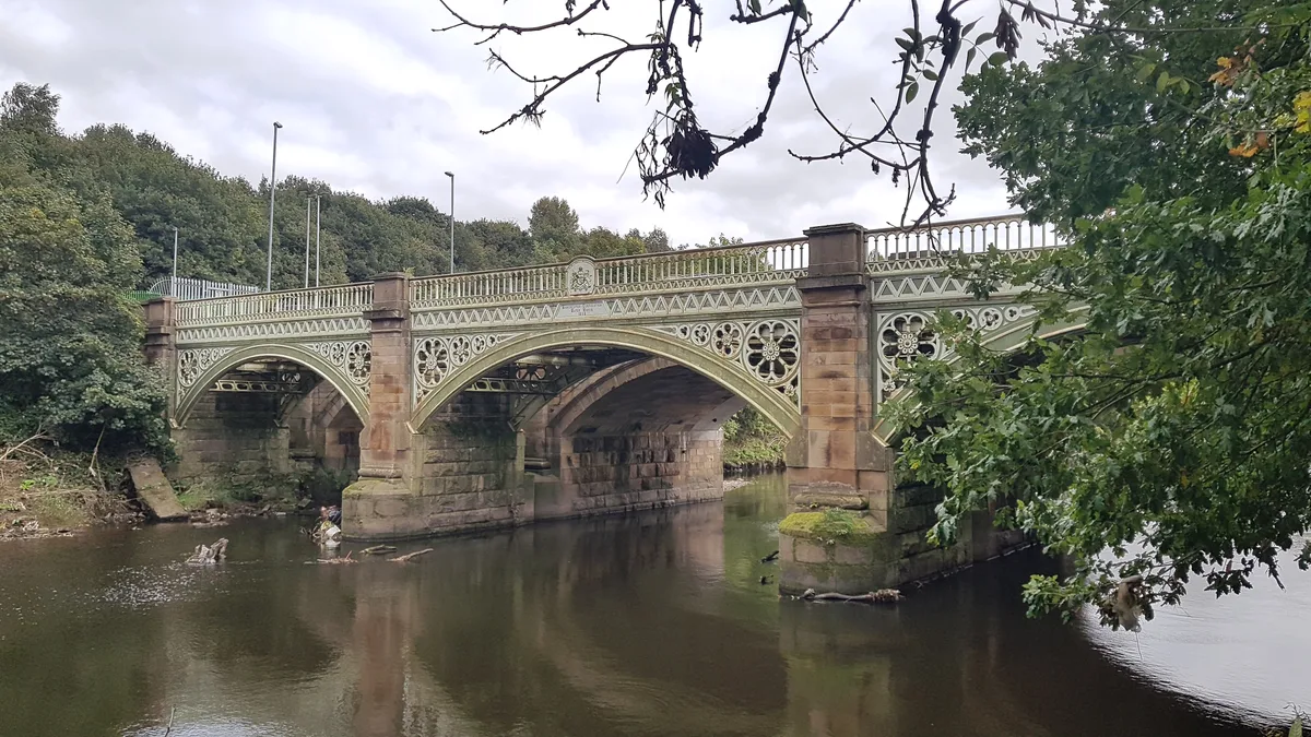
Thirlmere Aqueduct Over The River Irwell
Aqueducts · 0.7 km

Greater Manchester
Castles · 1.1 km

Andrew Knowles and Sons Collieries War Memorial
Memorials & monuments · 1.1 km

Kersal
Historic churches · 1.2 km
Pendlebury
Castles · 1.3 km

Moor Lane
Stadiums · 1.4 km

Irlams o' th' Height
Historic churches · 1.4 km

Kersal Moor
Forests & woodlands · 1.5 km

Tower of Church of St George with St Barnabus
Memorials & monuments · 1.5 km

Pendlebury
Villages · 1.6 km
Nearby
📷 3Cemeteries · North West England
Agecroft Cemetery
Agecroft Cemetery is a cemetery in the United Kingdom.
Flagship📷 3Stately homes · North West England
Kersal Cell
Kersal Cell — manor house in Salford, Greater Manchester, England, UK.
📷 3Aqueducts · North West England
Thirlmere Aqueduct Over The River Irwell
Thirlmere Aqueduct Over The River Irwell — part of the Thirlmere Aqueduct in Greater Manchester, England, UK.
📷 5Castles · North West England
Greater Manchester
Greater Manchester is a metropolitan and ceremonial county in North West England. It borders Lancashire to the north, West Yorkshire and Derbyshire to the east, Cheshire to the south, and Merseyside t
📷 3Memorials & monuments · North West England
Andrew Knowles and Sons Collieries War Memorial
Andrew Knowles and Sons Collieries War Memorial — Grade II listed building-listed memorial in england-north-west, United Kingdom.
📷 5Historic churches · North West England
Kersal
Kersal — a church in england-north-west, United Kingdom.
Where to eat & stay near Manchester, Bolton and Bury Canal
Places to stay
 📷 5
📷 5Hotels · North West England
Parkview Residence
Parkview Residence — a hotel in england north west.
 📷 5
📷 5 📷 7
📷 7Hotels · North West England
Maldron Hotel Manchester Cathedral Quarter
Maldron Hotel Manchester Cathedral Quarter — a hotel in england west midlands. 4-star. Brand: Maldron Hotels.
 📷 5
📷 5Hotels · North West England
The Lowry Hotel
The Lowry Hotel — a hotel in england west midlands.
 📷 5
📷 5Hotels · North West England
Holiday Inn Express
Holiday Inn Express — a hotel in england west midlands. Brand: Holiday Inn Express.
 📷 5
📷 5Hotels · North West England
Great John Street Hotel
Great John Street Hotel — a hotel in england west midlands. 4-star. Brand: Eclectic Hotel Group.
Places to eat & drink
 📷 7
📷 7Historic pubs · North West England
Maypole Public House
Maypole Public House in England North West, United Kingdom.
 📷 5
📷 5Historic pubs · North West England
Church Inn
Church Inn in England North West, United Kingdom.
 📷 6
📷 6Historic pubs · North West England
19, 20 And 21, The Crescent
19, 20 And 21, The Crescent in England North West, United Kingdom.
 📷 5
📷 5Historic pubs · North West England
Lamb Hotel, Eccles
Lamb Hotel, Eccles in England North West, United Kingdom.
 📷 5
📷 5Historic pubs · North West England
The Punch Bowl Public House
The Punch Bowl Public House in England North West, United Kingdom.
 📷 5
📷 5Historic pubs · North West England
The Crown Tavern
The Crown Tavern in England North West, United Kingdom.
More castles in this region
 📷 3
📷 3Castles · North West England
Manchester Castle
Manchester Castle — medieval fortified manor house in England.
 📷 5
📷 5Castles · North West England
Mow Cop Castle
Mow Cop Castle — folly on the Cheshire and Staffordshire border, England, UK.
 📷 3
📷 3 📷 3
📷 3Castles · North West England
Ullerwood Castle
Ullerwood Castle — castle in Greater Manchester, England.
Frequently asked questions
- Where is Manchester, Bolton and Bury Canal?
- Manchester, Bolton and Bury Canal is in North-West England, United Kingdom (postcode M27 8BY), in the parish of Salford, unparished area.
- What is Manchester, Bolton and Bury Canal?
- The Manchester, Bolton and Bury Canal is a disused canal in Greater Manchester, England, built to link Bolton and Bury with Manchester. The canal, when fully opened, was 15 miles 1 furlong (24 km) lon
- How do I get to Manchester, Bolton and Bury Canal?
- The nearest railway station is Clifton, about 2.0 km away. Drivers can use postcode M27 8BY.
- When was Manchester, Bolton and Bury Canal built?
- Built or established in 1808.
- Does Manchester, Bolton and Bury Canal charge admission?
- Manchester, Bolton and Bury Canal typically charges admission. Check the official site for current ticket prices and opening hours.
- How do I get to Manchester, Bolton and Bury Canal?
- The nearest railway station is Clifton, about 2.0 km away. Drivers can navigate to postcode M27 8BY.