
Reservoirs & lochs · Scottish Highlands
Mamores
In or near Kinlochleven.
Mamores in Scotland Islands, United Kingdom.

Peter S — CC BY-SA 2.0 via Wikimedia Commons licence

Plan your visit
- Typical visit
- 1 h–2.5 h
- Free entry
- Dog-friendly
About
Mamores is a place of interest in Scotland Islands, United Kingdom — drawn from open-data sources for visitor reference. See the linked Wikipedia article for the full description.
Photo gallery
From the Wikipedia article
The Mamores are a group of mountains in the Lochaber area of the Grampian Mountains in the Scottish Highlands. They form an east–west ridge approximately fifteen kilometres in length lying between Glen Nevis to the north and Loch Leven to the south. Ten of the peaks are classified as Munros. The peaks are listed below with their heights (from west to east): Mullach nan Coirean (939 metres (3,081 ft)) Stob Bàn (999 metres (3,278 ft)) Sgurr a' Mhàim (1,099 metres (3,606 ft)) Sgor an Iobhair (1,001 metres (3,284 ft)) Am Bodach (1,032 metres (3,386 ft)) Stob Coire a' Chàirn (981 metres (3,219 ft)) An Gearanach (982 metres (3,222 ft)) Na Gruagaichean (1,055 metres (3,461 ft)) Binnein Mòr (1,128 metres (3,701 ft)) Binnein Beag (940 metres (3,080 ft)) Sgurr Eilde Mòr (1,008 metres (3,307 ft)) The main backbone of the Mamores stretches from Meall a' Chaorainn, a subsidiary top of Mullach nan Coirean, at the western end of the ridge, to Sgòr Eilde Beag, a top of Binnein Mòr some 10 km to the east. Three narrow arêtes run north from the main ridge connecting to the summits of Sgurr a' Mhàim, An Gearanach and Binnein Mòr. Beyond the eastern end of the ridge are two steep outlying peaks: Binnein Beag and Sgurr Eilde Mòr. Sandwiched between the remote upper section of Glen Nevis, and Lochs Eilde Mòr and Eilde Beag, these two peaks are the remotest in the Mamores. For hillwalkers the Mamores are accessible from either side - the village of Kinlochleven lies on the southern side, whilst upper Glen Nevis gives access from the north. The full traverse is challenging, either as a long day for fit walkers or as a multi-day trip. Given the relative ease of access, several peaks can be combined to give a number of shorter day's walking. Probably the best known shorter route is the Ring of Steall, a circuit of the corrie above Steall Falls. This route takes in four Munro peaks: Sgurr a' Mhàim, Am Bodach, Stob Coire a' Chàirn and An Gearanach. It forms the basis for the Ring of Steall…
Excerpt from Wikipedia under CC BY-SA 4.0. See the source article linked in Sources below.
- Coordinates
- 56.7500, -4.9690
Sources
Other places nearby
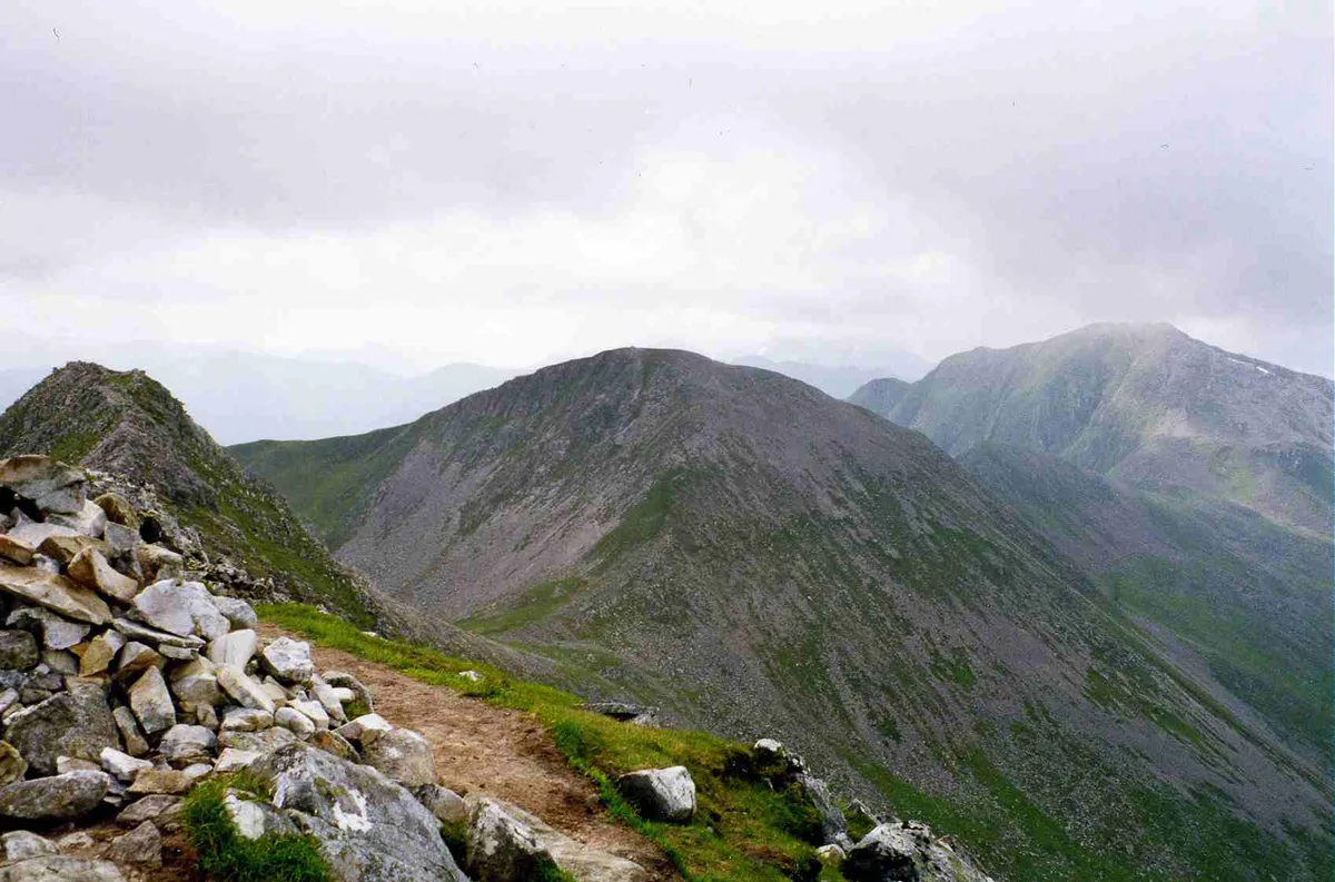
Stob Coire a' Chairn
Mountains & hills · 0.1 km
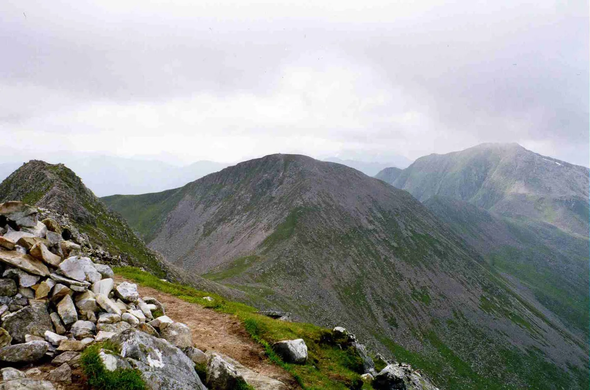
Stob Coire a' Chàirn
Natural landmarks · 0.1 km

Point 909
Mountains & hills · 0.5 km
Stob Coire a' Chairn South Top
Mountains & hills · 0.6 km

An Garbhanach
Mountains & hills · 0.6 km

Mamore Forest
Battlefields & battle sites · 0.9 km
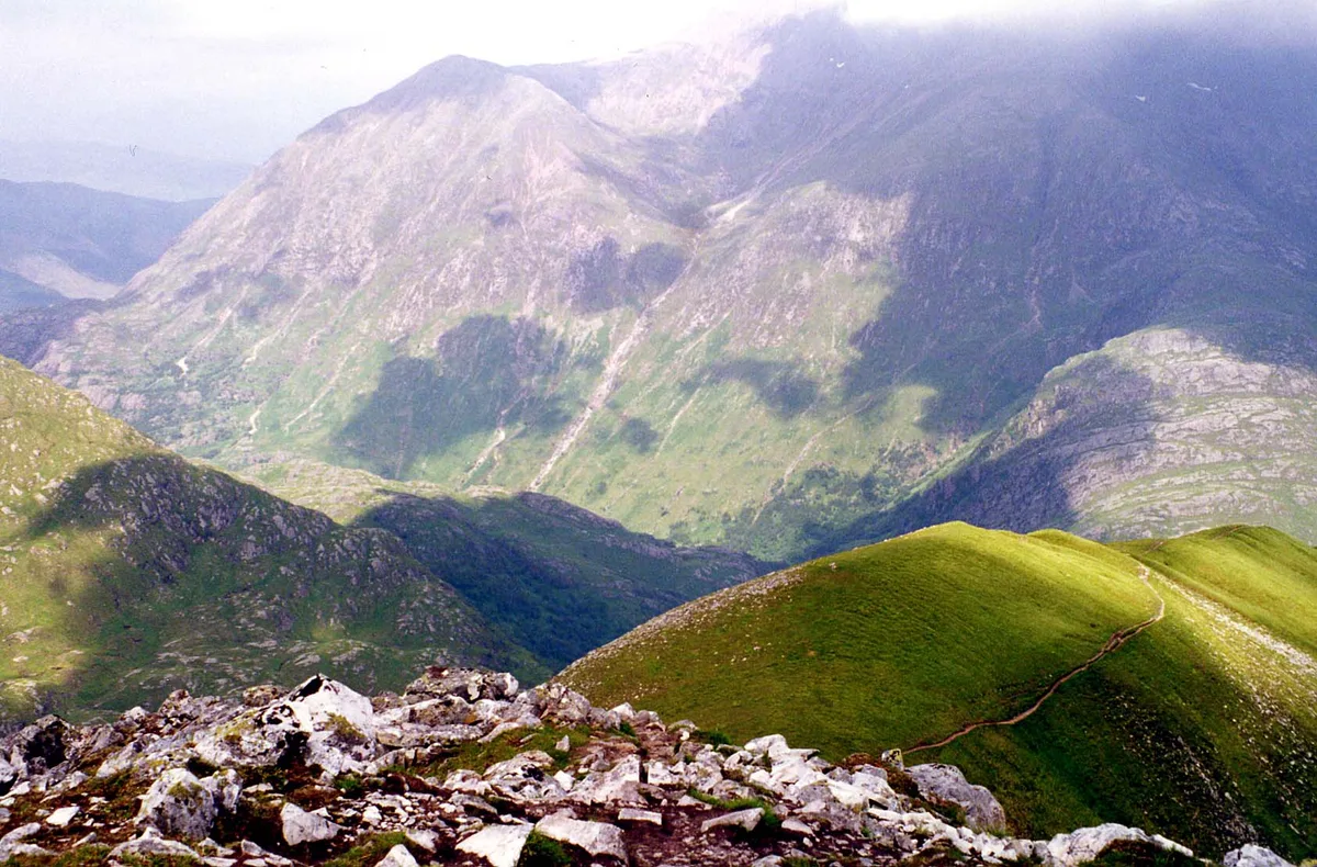
An Gearanach
Natural landmarks · 1.0 km
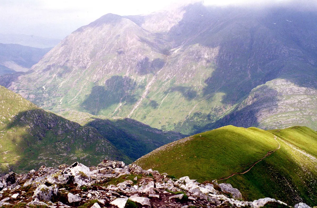
An Gearanach
Mountains & hills · 1.0 km
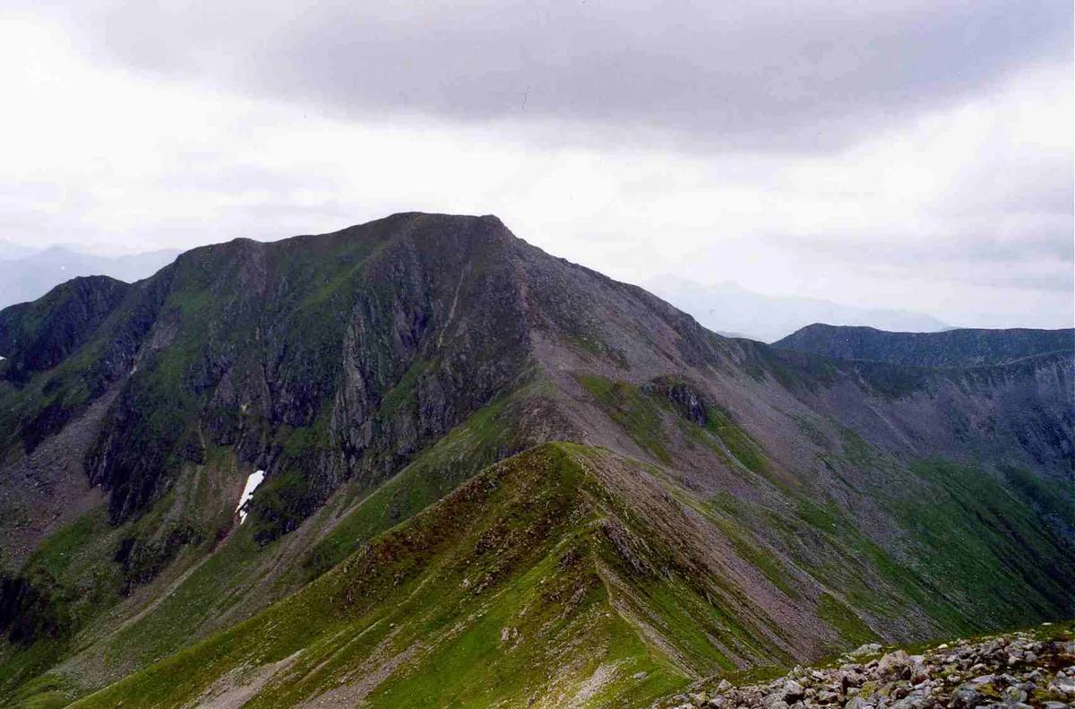
Am Bodach
Mountains & hills · 1.3 km
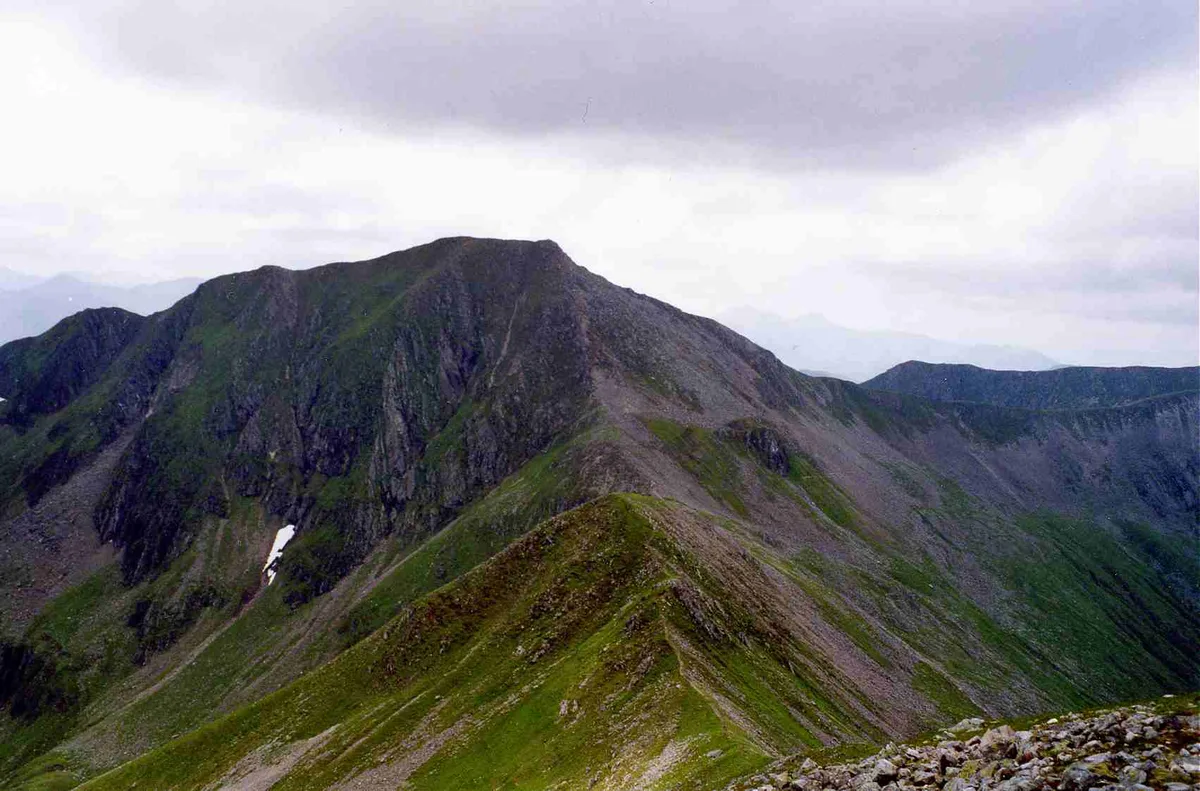
Am Bodach
Natural landmarks · 1.3 km

Na Gruagaichean North Top
Mountains & hills · 1.6 km
Na Gruagaichean North West Top
Mountains & hills · 1.6 km
Nearby
📷 3Mountains & hills · Scottish Highlands
Stob Coire a' Chairn
Stob Coire a' Chairn — Named summit at 981 m.
📷 3Natural landmarks · Scottish Highlands
Stob Coire a' Chàirn
Stob Coire a' Chàirn — 981m high mountain in Highland, Scotland, UK.
📷 5Mountains & hills · Scottish Highlands
Point 909
Point 909 — mountain in scotland highlands. Elevation: 909 m.
📷 3Mountains & hills · Scottish Highlands
Stob Coire a' Chairn South Top
Stob Coire a' Chairn South Top — a mountain in scotland-highlands, United Kingdom.
📷 3Mountains & hills · Scottish Highlands
An Garbhanach
An Garbhanach — a mountain in scotland-highlands, United Kingdom.
📷 3Battlefields & battle sites · Scottish Highlands
Mamore Forest
Mamore Forest in Scotland Highlands, United Kingdom.
Where to eat & stay near Mamores
Places to stay
 📷 5
📷 5 📷 5
📷 5Campsites · Scottish Highlands
really small camp site
really small camp site — a campsite in scotland highlands.
📷 5Campsites · Scottish Highlands
not great but fits 2 person tent and has access to small river
not great but fits 2 person tent and has access to small river — a campsite in scotland highlands.
 📷 5
📷 5Campsites · Scottish Highlands
Kinlochleven Wild Camping Area
Kinlochleven Wild Camping Area — a campsite in scotland highlands.
 📷 7
📷 7Hotels · Scottish Highlands
MacDonald Hotel
MacDonald Hotel — a hotel in scotland highlands.
📷 5Campsites · Scottish Highlands
MacDonald Hotel Campsite
MacDonald Hotel Campsite — a campsite in scotland highlands.
Places to eat & drink
 📷 4
📷 4Historic pubs · Scottish Highlands
Clachaig Inn
Clachaig Inn in Scotland Islands, United Kingdom.
More places in this region
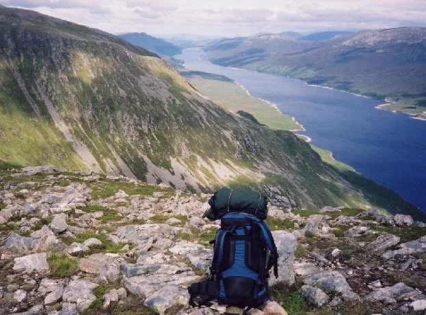 Flagship📷 3
Reservoirs & lochs · Scottish Highlands
Loch Ericht
Loch Ericht — lake in Perth and Kinross, and Highland, Scotland, UK, outflows to River Ericht.
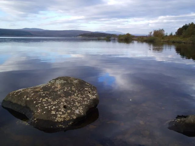 Flagship📷 3
Reservoirs & lochs · Scottish Highlands
Loch Shin
Loch Shin — reservoir in Highland, Scotland, UK, outflows to the River Shin.
 📷 4
📷 4Reservoirs & lochs · Scottish Highlands
Backwater Reservoir
Backwater Reservoir — lake in Angus, Scotland, UK.
 📷 3
📷 3Reservoirs & lochs · Scottish Highlands
Blackwater Reservoir
Blackwater Reservoir — reservoir in Highland, Scotland, UK, outflows to the River Leven.
Frequently asked questions
- Where is Mamores?
- Mamores is in the Scottish Highlands, United Kingdom.
- What is Mamores?
- Mamores in Scotland Islands, United Kingdom.
- How do I get to Mamores?
- Its coordinates are 56.7500°, -4.9690°.
- Is Mamores free to visit?
- Yes, Mamores is free to enter.