
Natural landmarks · Scottish Highlands
Stob Coire a' Chàirn
Also known as: Stob Coire a'Chairn, Stob Coire a' Cháirn
In or near Kinlochleven.
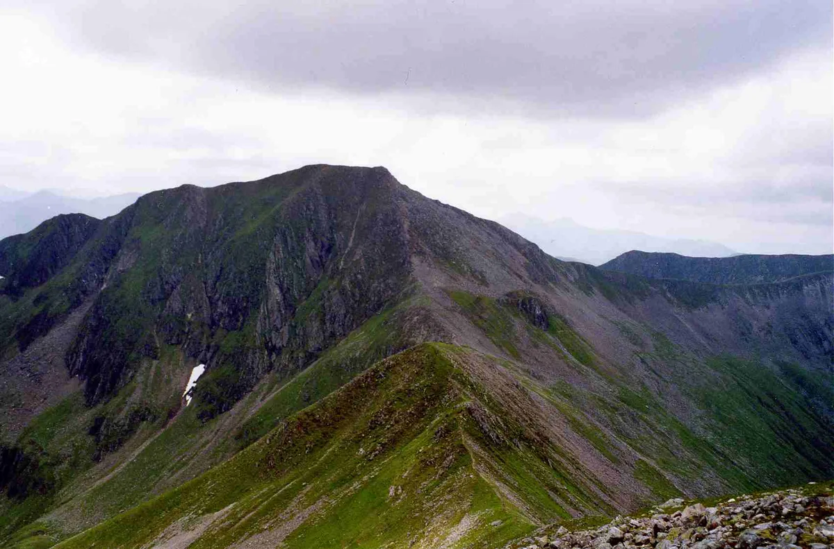
Stob Coire a' Chàirn — 981m high mountain in Highland, Scotland, UK.

Wikimedia Commons contributors — see linked file page for photographer and licence licence

Plan your visit
- Typical visit
- 1 h–2 h
- Free entry
- Dog-friendly
About
Stob Coire a' Chàirn is a named natural landmark in the United Kingdom. Wikidata describes it as: "981m high mountain in Highland, Scotland, UK". Coordinates: 56.7507°, -4.9690°.
Photo gallery
Official information
Stob Coire a' Chàirn is a prominent peak located in the Mamores range, known for its stunning ridgewalking opportunities. Visitors can enjoy various routes leading to the summit, offering breathtaking panoramic views of the surrounding landscape.
From the Wikipedia article
Stob Coire a’ Chàirn is a Scottish mountain situated in the Mamores range, 3.5 kilometres north of Kinlochleven. The mountain reaches a height of 981 metres (3218 feet) and is regarded as one of the more modest peaks of the ten Munros in the Mamores, indeed for many years it was not named on OS maps. Despite this, it is situated at a strategically important point and could be said to be the most central of the group with three ridges radiating out to other Munros. The mountains name translates from Gaelic as “Peak of the Corrie of the Cairn”. Stob Coire a’ Chàirn, despite its Munro status is probably best known for being part of the Ring of Steall which is regarded as one of the best ridge walks in Scotland which also takes in the other Munros of An Gearanach, Am Bodach and Sgurr a' Mhàim. Stob Coire a’ Chàirn has three main ridges, the northern one connects to An Gearanach, the south east to Na Gruagaichean and the south west to Am Bodach. On the southern flank of the mountain is the broad expanse of the Coire na Ba which is drained by the Allt Coire na Ba which flows south to join the River Leven at Kinlochleven. Coire na Ba has an excellent and well graded stalkers path which gives easy access to the Mamores ridge from the south. The direct ascent of Stob Coire a’ Chàirn starts at Kinlochleven and uses the aforementioned stalkers path up Coire na Ba to reach the east ridge of the mountain which is followed to the summit. Because of its central position in the Mamores, Stob Coire a’ Chàirn is usually climbed with other Munros in the group and many permutations are possible. The summit of the mountain is marked by a rough pile of stones with the outlook from the top giving a good view of Glen Coe and its hills.
Excerpt from Wikipedia under CC BY-SA 4.0. See the source article linked in Sources below.
- Coordinates
- 56.7507, -4.9690
- Address
- Highland, Scotland
- Official site
- www.walkhighlands.co.uk
Sources
- wikidata: Q6979999 (CC0)
- wikipedia: Stob Coire a' Chàirn (CC BY-SA 4.0)
- commons: Stob Choire a' Chairn from An Gearanach.jpg (CC BY-SA 4.0)
Other places nearby
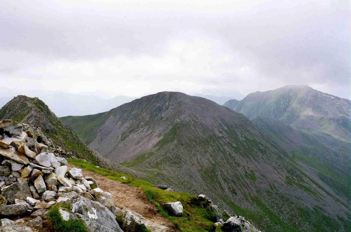
Stob Coire a' Chairn
Mountains & hills · 0.0 km

Mamores
Reservoirs & lochs · 0.1 km

An Garbhanach
Mountains & hills · 0.5 km

Point 909
Mountains & hills · 0.6 km
Stob Coire a' Chairn South Top
Mountains & hills · 0.6 km

Mamore Forest
Battlefields & battle sites · 0.9 km
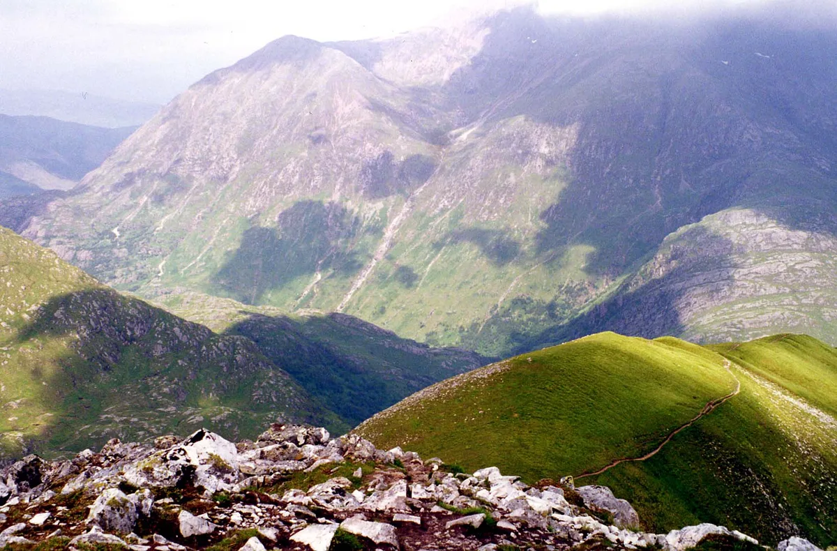
An Gearanach
Natural landmarks · 0.9 km
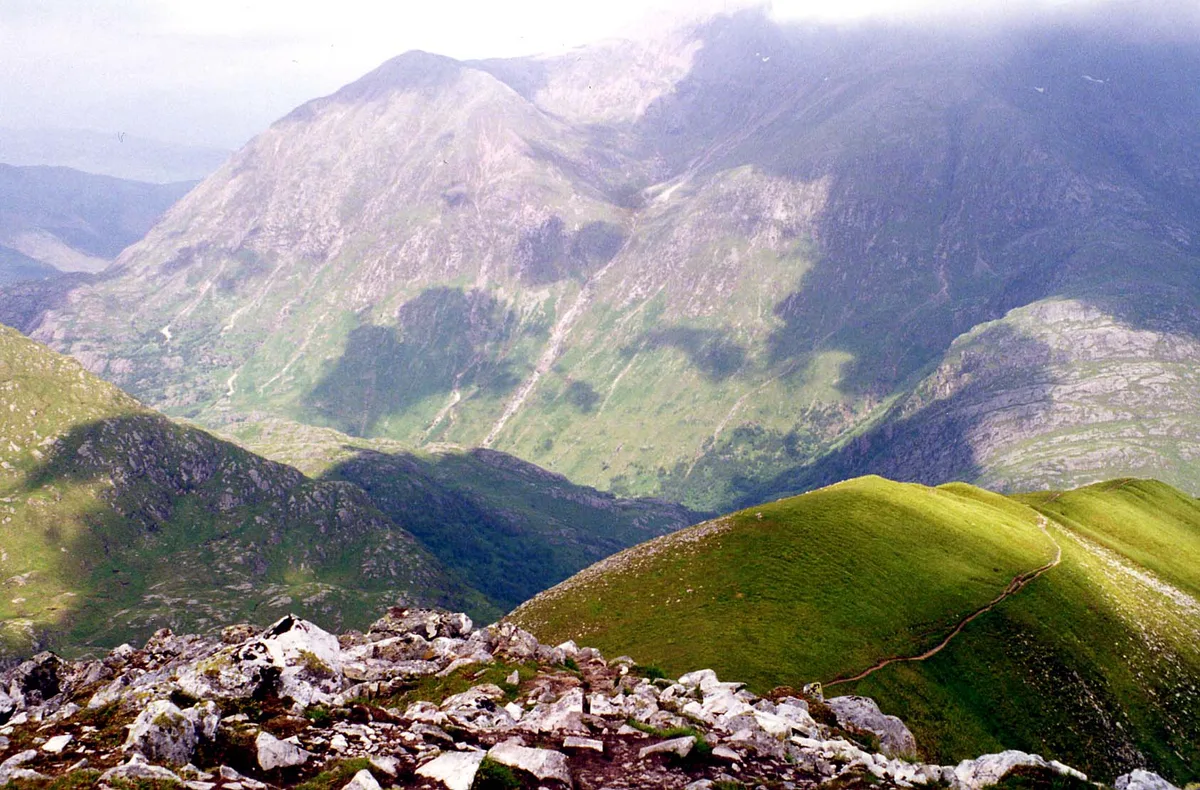
An Gearanach
Mountains & hills · 1.0 km
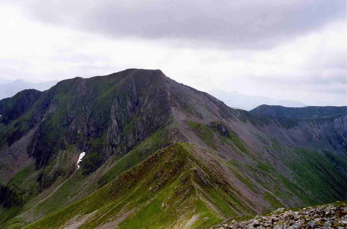
Am Bodach
Mountains & hills · 1.3 km
Am Bodach
Natural landmarks · 1.3 km

Na Gruagaichean North Top
Mountains & hills · 1.7 km
Na Gruagaichean North West Top
Mountains & hills · 1.7 km
Nearby
📷 3Mountains & hills · Scottish Highlands
Stob Coire a' Chairn
Stob Coire a' Chairn — Named summit at 981 m.
📷 4📷 3Mountains & hills · Scottish Highlands
An Garbhanach
An Garbhanach — a mountain in scotland-highlands, United Kingdom.
📷 5Mountains & hills · Scottish Highlands
Point 909
Point 909 — mountain in scotland highlands. Elevation: 909 m.
📷 3Mountains & hills · Scottish Highlands
Stob Coire a' Chairn South Top
Stob Coire a' Chairn South Top — a mountain in scotland-highlands, United Kingdom.
📷 3Battlefields & battle sites · Scottish Highlands
Mamore Forest
Mamore Forest in Scotland Highlands, United Kingdom.
Where to eat & stay near Stob Coire a' Chàirn
Places to stay
 📷 5
📷 5 📷 5
📷 5Campsites · Scottish Highlands
really small camp site
really small camp site — a campsite in scotland highlands.
📷 5Campsites · Scottish Highlands
not great but fits 2 person tent and has access to small river
not great but fits 2 person tent and has access to small river — a campsite in scotland highlands.
 📷 5
📷 5Campsites · Scottish Highlands
Kinlochleven Wild Camping Area
Kinlochleven Wild Camping Area — a campsite in scotland highlands.
 📷 7
📷 7Hotels · Scottish Highlands
MacDonald Hotel
MacDonald Hotel — a hotel in scotland highlands.
📷 5Campsites · Scottish Highlands
MacDonald Hotel Campsite
MacDonald Hotel Campsite — a campsite in scotland highlands.
Places to eat & drink
 📷 4
📷 4Historic pubs · Scottish Highlands
Clachaig Inn
Clachaig Inn in Scotland Islands, United Kingdom.
More natural landmarks in this region
 Flagship📷 3
Natural landmarks · Scottish Highlands
Dunalastair Water
Dunalastair Water — lake in Perth and Kinross, Scotland, UK, on the River Tummel.
 Flagship📷 3
Natural landmarks · Scottish Highlands
Loch Arkaig
Loch Arkaig — lake in Highland, Scotland, UK, outflows east to River Arkaig.
 Flagship📷 3
Natural landmarks · Scottish Highlands
Loch Assynt
Loch Assynt — lake in Highland, Scotland, UK, outflows to the River Inver and Loch na Garbh Uidhe.
 Flagship📷 5
Natural landmarks · Scottish Highlands
Loch Eilt
Loch Eilt — lake in Highland, Scotland, UK, outflows west to River Ailort.
Frequently asked questions
- Where is Stob Coire a' Chàirn?
- Stob Coire a' Chàirn is in the Scottish Highlands, United Kingdom.
- What is Stob Coire a' Chàirn?
- Stob Coire a' Chàirn — 981m high mountain in Highland, Scotland, UK.
- How do I get to Stob Coire a' Chàirn?
- The nearest town is Kinlochleven. Its coordinates are 56.7507°, -4.9690°.
- Is Stob Coire a' Chàirn free to visit?
- Yes, Stob Coire a' Chàirn is free to enter.