
Roman villas · South East England
Lullingstone Roman Villa
Also known as: Teach mór Rómhánach Lullingstone
In or near Crockenhill.
Kent Roman villa with one of the earliest Christian house-churches in Britain.

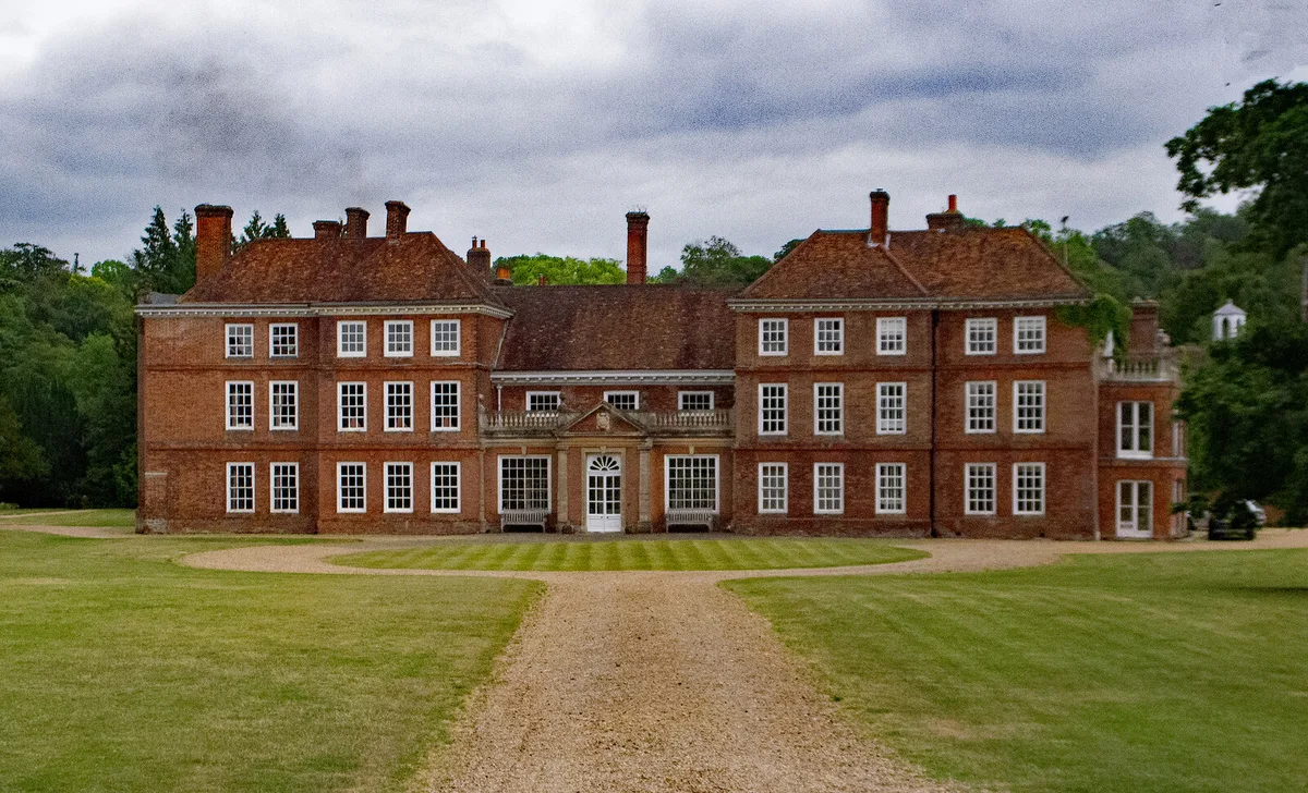
David Rogers — CC BY-SA 2.0 via Wikimedia Commons licence

Plan your visit
- Typical visit
- 1 h–2 h
- Nearest railway station
- Eynsford · 0.6 km
- Free entry
- Dog-friendly
Getting there & planning your visit
Lullingstone Roman Villa is located in Sevenoaks, Kent, with the postcode DA4 0HY. The nearest railway station is Eynsford, which is 0.6 km away. Entry to the villa is free.
About
Lullingstone in Kent — discovered in 1939 — is a Roman villa rebuilt in the 4th century to include one of the earliest known Christian house-churches in Britain. Painted plaster fragments showing the chi-rho symbol and orant figures are the standout. Owned by English Heritage; the site is roofed for protection.
Photo gallery
See it from the streetimagery from 2020
Imagery © Mapillary contributors, CC BY-SA 4.0
Summary from the official site
Lullingstone Roman Villa is one of the best-preserved Roman villas in Britain, showcasing Roman domestic life over three centuries. Visitors can explore the villa's remains, including a heated bath suite and an underground cult room, while learning from expert volunteers about its history and conservation efforts.
Read more on the official property page.
Protected designations
- Area of Outstanding Natural Beauty: Kent Downs
Designations sourced from Natural England open data under OGL v3.
From the Wikipedia article
Lullingstone Roman Villa is a villa built during the Roman occupation of Britain, situated in Lullingstone near the village of Eynsford in Kent, south-eastern England. The villa is located in the Darent Valley, along with six others, including those at Crofton, Crayford and Dartford. Constructed in the 1st century, perhaps around AD 80–90, the house was repeatedly expanded and occupied until it was destroyed by fire in the 4th or 5th century. The villa was occupied over various periods within the Romano-British period, but after its destruction, it is only thought to have been reoccupied during the medieval period. The occupants were most likely wealthy Romans or native Britons who had adopted Roman customs. Some evidence found on site suggests that in around 150, the villa was considerably enlarged and may have been used as the country retreat of the governors of the Roman province of Britannia. Two sculpted marble busts found in the cellar may be those of Pertinax, governor in 185–186, and his father-in-law, Publius Helvius Successus. In the 4th century a room, probably already in religious use, was converted to a Christian chapel or house church, much the earliest known in the British Isles. In the Anglo-Saxon period, the ruins of a Roman temple-mausoleum on the site of the villa were incorporated into a Christian chapel (Lullingstone Chapel) that was extant at the time of the Norman Conquest, one of the earliest known chapels in the country. In addition to the pagan shrine in the villa's chapel and the dining room mosaics, the villa produced significant artistic finds including the Lullingstone Victory Gem and the busts.
Excerpt from Wikipedia under CC BY-SA 4.0. See the source article linked in Sources below.
Background
Architecture
The earliest part of the villa was built around AD 82. It was situated in an area near several other villas, and was close to Watling Street, a Roman road by which travellers could move to and from Londinium, Durobrivae, Durovernum Cantiacorum, and the major Roman port of Rutupiae (i.e., London, Rochester, Canterbury, and Richborough, respectively).
Description
Discovered during the initial excavations by G.W. Meates, the Victory Gem is a "Roman cornelian intaglio". Cornelian intaglios like this were normally set in rings, and based on its size, it is thought that its ring was large. Measuring 23 by 19 by 5 mm, it is one of the largest gems ever found in Britain. Considering the potential size of the ring and other remnants of precious metals on the gem, such as gold, Martin Henig suggests that the ring was once owned by a man that held both high status and wealth. The gem depicts personified Victory writing a message of triumph on a shield. It is thought that the gem has Greek characteristics as the artwork depicts elements of the goddesses Nike…
Sourced from Wikipedia under CC BY-SA 4.0.
- Coordinates
- 51.3658, 0.1969
- County
- Kent
- District
- Sevenoaks
- Parish
- Eynsford
- Postcode
- DA4 0HY
- Parliamentary constituency
- Sevenoaks
- Nearest railway station
- Eynsford — 0.6 km
- Opening
- Wed - Sun 10am–5pm; partially closed for conservation work
- Official site
- www.english-heritage.org.uk
Sources
- manual: lullingstone-roman-villa (manual)
- wikipedia: Lullingstone Roman Villa (CC BY-SA 4.0)
Featured in these 2 guides
Other places nearby

Lullingstone Villa Shrine
Archaeological sites · 0.2 km

Lullingstone Roman Villa
Archaeological sites · 0.2 km
_-_geograph.org.uk_-_1735445.jpg?width=1200)
Eynsford Viaduct
Historic bridges · 0.5 km

Eagle Heights Wildlife Centre
Zoos & aquariums · 0.5 km
Eagle Heights Wildlife Foundation
Zoos & aquariums · 0.5 km

View of viaduct
Viewpoints · 0.5 km

World Garden
Gardens · 0.8 km
.jpg?width=1200)
Church of Saint Botolph, Lullingstone
Historic churches · 0.8 km
Lullingstone Castle
Castles · 0.9 km

Lullingstone
Museums · 0.9 km

Eynsford
Museums · 1.0 km

Eynsford Bridge
Historic bridges · 1.0 km
Nearby
📷 5Archaeological sites · London
Lullingstone Villa Shrine
Lullingstone Villa Shrine — a archaeological in england-london, United Kingdom.
📷 5Archaeological sites · London
Lullingstone Roman Villa
Lullingstone Roman Villa — archaeological in england london.
📷 5Historic bridges · London
Eynsford Viaduct
Eynsford Viaduct is a historic bridge in the United Kingdom.
📷 5Zoos & aquariums · London
Eagle Heights Wildlife Centre
Eagle Heights Wildlife Centre — a zoo aquarium in england-london, United Kingdom.
📷 5Zoos & aquariums · London
Eagle Heights Wildlife Foundation
Eagle Heights Wildlife Foundation in England London, United Kingdom.
📷 5Where to eat & stay near Lullingstone Roman Villa
Places to stay
 📷 5
📷 5Campsites · London
Farningham Wood Scout Campsite
Farningham Wood Scout Campsite — a campsite in england london.
 📷 5
📷 5 📷 5
📷 5Caravan parks · London
Clearways Park
Clearways Park — a caravan park in england london.
📷 5 📷 5
📷 5Campsites · London
The Naturist Foundation
The Naturist Foundation — a campsite in england london.
 📷 5
📷 5Places to eat & drink
 📷 7
📷 7 📷 5
📷 5Historic pubs · London
The Rock And Fountain Public House
The Rock And Fountain Public House in England London, United Kingdom.
 📷 7
📷 7 📷 7
📷 7Historic pubs · London
The Blue Anchor Public House
The Blue Anchor Public House in England London, United Kingdom.
 📷 6
📷 6Historic pubs · London
The Kentish Yeoman Public House
The Kentish Yeoman Public House in England London, United Kingdom.
 📷 7
📷 7Other places from this era
 Flagship📷 10
Roman villas · South East England
Bignor Roman Villa
West Sussex Roman villa with the Medusa mosaic, in original thatch-roofed shelters.
 ★ Iconic📷 10
Roman villas · South East England
Fishbourne Roman Palace
The largest Roman house north of the Alps — 1st-century, with the Cupid on a Dolphin mosaic.
 ★ Iconic📷 4
Roman villas · South West England
Chedworth Roman Villa
One of Britain's largest Roman villas, Cotswold-set, with mosaics and bath-houses.
More places in this region
 📷 5
📷 5Roman villas · South East England
Roman Villa (Site of)
Roman Villa (Site of) — a roman villa in england-south-east, United Kingdom.
 📷 5
📷 5Roman villas · South East England
Site of Roman Villa
Site of Roman Villa — a roman villa in england-south-east, United Kingdom.
 📷 5
📷 5Roman villas · South East England
Warblington Roman Villa
Warblington Roman Villa — a roman villa in england-south-east, United Kingdom.
 📷 5
📷 5Roman villas · South East England
Newport Roman Villa
Newport Roman Villa — a roman villa in england-south-east, United Kingdom.
Frequently asked questions
- Where is Lullingstone Roman Villa?
- Lullingstone Roman Villa is in Kent, South-East England, United Kingdom (postcode DA4 0HY), in the parish of Eynsford.
- What is Lullingstone Roman Villa?
- Kent Roman villa with one of the earliest Christian house-churches in Britain.
- How do I get to Lullingstone Roman Villa?
- The nearest railway station is Eynsford, about 0.6 km away. Drivers can use postcode DA4 0HY.
- When was Lullingstone Roman Villa built?
- Dates from the Roman period.
- Who owns Lullingstone Roman Villa?
- Lullingstone Roman Villa is owned by English Heritage.
- Is Lullingstone Roman Villa a protected site?
- Yes — Lullingstone Roman Villa is part of the Kent Downs National Landscape (AONB).
- Is Lullingstone Roman Villa free to visit?
- Yes, Lullingstone Roman Villa is free to enter.
- How do I get to Lullingstone Roman Villa?
- The nearest railway station is Eynsford, about 0.6 km away. Drivers can navigate to postcode DA4 0HY.