Other places · Central Scotland
Longformacus
Also known as: Longphort Mhacais
In or near Duns.
Longformacus in England North East, United Kingdom.

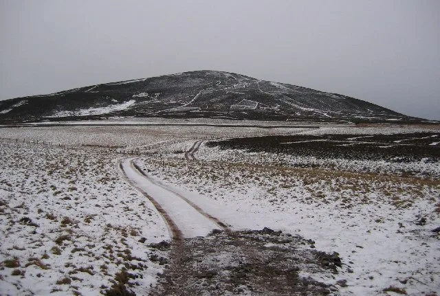
M J Richardson — CC BY-SA 2.0 via Wikimedia Commons licence
Plan your visit
- Typical visit
- 1 h–2 h
About
Longformacus is a place of interest in England North East, United Kingdom — drawn from open-data sources for visitor reference. See the linked Wikipedia article for the full description.
Photo gallery
See it from the streetimagery from 2019
Imagery © Mapillary contributors, CC BY-SA 4.0
From the Wikipedia article
Longformacus (Scottish Gaelic: Longphort Mhacais) is a small village in Berwickshire in the Scottish Borders area of Scotland. It is around 10 kilometres (6.2 mi) north-west of Duns, in the Lammermuir Hills. The Dye Water runs through the village, flowing east towards its confluence with the Whiteadder Water nearby. In the vicinity are traces of an ancient fortification at Runklie or Wrinklaw and the Mutiny Stones cairn. The opera Lucia di Lammermoor, written by Gaetano Donizetti and based on Sir Walter Scott's The Bride of Lammermoor, was set in the Lammermuirs and an old form of the village's name, Lockermachus, is mentioned in Scott's novel. The Southern Upland Way, a Long Distance Route which crosses southern Scotland, passes through the village, and the Sir Walter Scott Way from Moffat to Cockburnspath passes through Longformacus.
Excerpt from Wikipedia under CC BY-SA 4.0. See the source article linked in Sources below.
Background
History
The church of Longformacus was dedicated by Bishop David de Bernham, 11 March 1243. In 1667 the choir was in ruins, the church itself being "very ruinous." It was rebuilt on the old foundations in 1730, and a thorough renovation was made, in 1895. Our Lady's Well is on the Dye Water, about a quarter of a mile east of the village. The parish was long united to Mordington, but was disjoined in 1666. Longformacus and Ellem were united in 1712; and Ellem church was disused. There was some copper ore in the area which a former minister smelted but large scale production was not successful.
Sourced from Wikipedia under CC BY-SA 4.0.
- Coordinates
- 55.8078, -2.4921
- District
- Scottish Borders
- Postcode
- TD11 3PE
- Parliamentary constituency
- Berwickshire, Roxburgh and Selkirk
Sources
- wikidata: Q3778589 (CC0)
- wikipedia: Longformacus (CC BY-SA 4.0)
Other places nearby
Longformacus Bridge
Historic bridges · 0.1 km

Venue Longformacus
Theatres · 0.1 km

Longformacus Parish Church
Historic churches · 0.1 km
.jpg?width=1200)
Longformacus House
Historic houses · 0.3 km

Watch Water
Other places · 0.7 km

Wrunk Law
Mountains & hills · 2.3 km

Wrunklaw
Vineyards · 2.3 km
Dirrington Great Law
Natural landmarks · 2.4 km

Alisdair Thomson Memorial
Memorials & monuments · 2.8 km

Dye Water
Other places · 3.1 km

Scar Law
Mountains & hills · 3.9 km

Smiddyhill Bridge
Historic bridges · 4.0 km
Nearby
📷 5Historic bridges · Central Scotland
Longformacus Bridge
Longformacus Bridge — category C listed building-listed bridge in scotland-central, United Kingdom.
📷 3Theatres · Central Scotland
Venue Longformacus
Venue Longformacus is a theatre in the United Kingdom.
📷 5Historic churches · Central Scotland
Longformacus Parish Church
Longformacus Parish Church — category B listed building-listed church in scotland-central, United Kingdom.
📷 3Historic houses · Central Scotland
Longformacus House
Longformacus House — house in Scottish Borders, Scotland, UK.
📷 4📷 5Mountains & hills · Central Scotland
Wrunk Law
Wrunk Law — mountain in scotland central. Elevation: 364 m.
Where to eat & stay near Longformacus
Places to stay
 📷 5
📷 5Caravan parks · Scottish Lowlands
Blackadder Caravan Park
Blackadder Caravan Park — a caravan park in scotland central.
 📷 5
📷 5Caravan parks · Central Scotland
Chesterfield Caravan Park
Chesterfield Caravan Park — a caravan park in scotland central.
 📷 5
📷 5Campsites · Central Scotland
Blinkbonny Wood Campsite
Blinkbonny Wood Campsite — a campsite in scotland central.
 📷 5
📷 5Caravan parks · Central Scotland
Pease Bay Leisure Park
Pease Bay Leisure Park — a caravan park in scotland central.
 📷 5
📷 5Caravan parks · Central Scotland
Thurston Manor Caravan Park
Thurston Manor Caravan Park — a caravan park in scotland central.
 📷 5
📷 5Caravan parks · Central Scotland
Highview Caravan Park
Highview Caravan Park — a caravan park in scotland central.
Places to eat & drink
 📷 7
📷 7Historic pubs · Central Scotland
The Royal Bar, 15 Market Square, Duns
The Royal Bar, 15 Market Square, Duns in Scotland Central, United Kingdom.
 📷 5
📷 5Historic pubs · Central Scotland
The Crown & Kitchen
The Crown & Kitchen in Scotland Central, United Kingdom.
 📷 5
📷 5Historic pubs · Scottish Lowlands
The Masons Arms
The Masons Arms in Scotland Lowlands, United Kingdom.
 📷 7
📷 7Historic pubs · Scottish Lowlands
The Victoria Hotel
The Victoria Hotel in Scotland Lowlands, United Kingdom.
 📷 4
📷 4Historic pubs · Scottish Lowlands
Newcastle Arms
Newcastle Arms — Historic pub — listed building or notable heritage status.
 📷 5
📷 5Historic pubs · Central Scotland
Gardner's Arms Public House, Market Street, Haddington
Gardner's Arms Public House, Market Street, Haddington in Scotland Central, United Kingdom.
More places in this region
 📷 3
📷 3 📷 3
📷 3 📷 5📷 5
Frequently asked questions
- Where is Longformacus?
- Longformacus is in North-East England, United Kingdom (postcode TD11 3PE).
- What is Longformacus?
- Longformacus in England North East, United Kingdom.
- How do I get to Longformacus?
- Drivers can use postcode TD11 3PE.
- How do I get to Longformacus?
- Drivers can navigate to postcode TD11 3PE. It sits within the Berwickshire, Roxburgh and Selkirk parliamentary constituency.