
Viewpoints · North West England
Long Meg Mine
In or near Great Salkeld.
Long Meg Mine is a viewpoint in the United Kingdom.

Wikimedia Commons contributors — see linked file page for photographer and licence licence

Plan your visit
- Typical visit
- 20 min–45 min
- Best time of year
- Clear days year-round
- Nearest railway station
- Lazonby and Kirkoswald · 2.5 km
- Free entry
- Dog-friendly
About
Long Meg Mine is a named viewpoint in the United Kingdom. Coordinates: 54.7329°, -2.6800°. This entry is part of The Great Britain Guide, a free, ad-free, open-data tourist directory.
Photo gallery
Protected designations
- Site of Special Scientific Interest: River Eden and Tributaries SSSI
- Area of Outstanding Natural Beauty: North Pennines
Designations sourced from Natural England open data under OGL v3.
From the Wikipedia article
Long Meg Mine is a disused gypsum mine just north of Little Salkeld, Cumbria in the area known as Cave Wood Valley. It was operated between 1880 and 1976.
Excerpt from Wikipedia under CC BY-SA 4.0. See the source article linked in Sources below.
Background
History
The Long Meg Plaster Company Ltd. was established in 1880, driving an underground drift upon which operations commenced in 1885. In 1886 a standard gauge extension line was connected to the site from the Settle-Carlisle Railway (a distance of around 0.35 km). The workforce in this year is recorded as being 12 (all Surface), the name of the mine Long Meg Drift and agent A.K.Busby. In 1902 the workforce is recorded as being 26 (12 Underground and 14 Surface). By 1914 however this figure had dropped to 6 (4 Underground and 2 Surface) and the mine was abandoned on an unknown date in 1914/1915. The operator at this time was the Carlisle Plaster and Cement Company Ltd. The mine was re-opened in…
Visiting
Today the mine is in a poor state of repair however much of the site can be viewed from the public footpath that runs along the banks of the River Eden from Little Salkeld to Lacy's Caves. The rail tracks have not been lifted in many places and the public footpath follows its path with metalwork and sleepers exposed. The signal box used for the branch line still exists but like the mine's buildings has been left to decay. Various objects have been left on the site, including train carts. What appears to be an entrance to the drift has been filled in. The newer buildings have "Danger - Keep out" signs, however in the area occupied by the older buildings there appear to be no fences or…
Sourced from Wikipedia under CC BY-SA 4.0.
- Coordinates
- 54.7329, -2.6800
- District
- Westmorland and Furness
- Parish
- Great Salkeld
- Postcode
- CA10 1BZ
- Parliamentary constituency
- Penrith and Solway
- Nearest railway station
- Lazonby and Kirkoswald — 2.5 km
Sources
- osm: n367899969 (ODbL)
- wikipedia: Long Meg Mine (CC BY-SA 4.0)
- commons: Long Meg Mine.jpg (CC BY-SA 4.0)
Other places nearby

Eden Lacy Viaduct
Historic bridges · 0.2 km
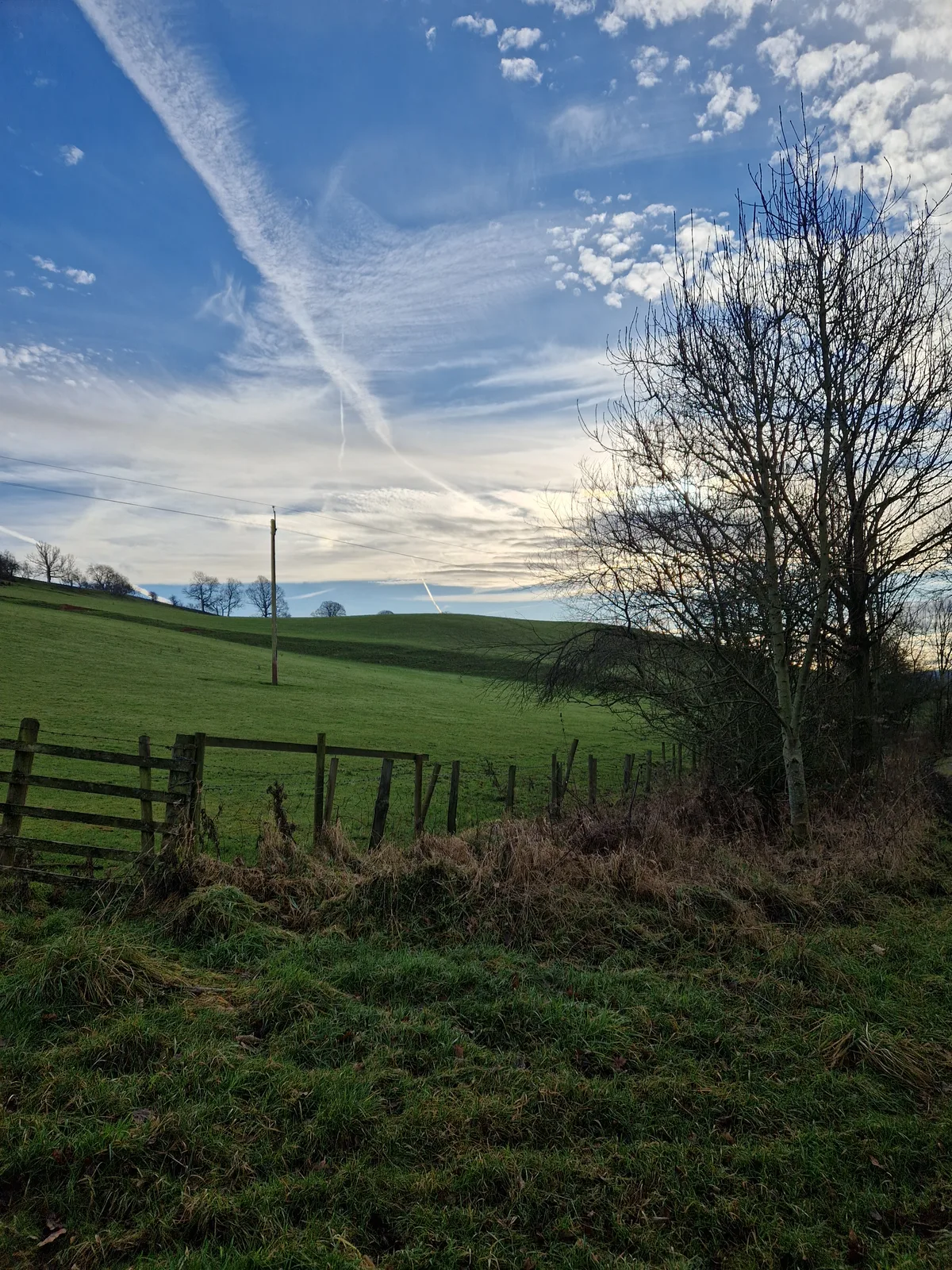
Throstle Brow prehistoric enclosure
Archaeological sites · 0.4 km

Lacy's Caves
Caves · 0.5 km

Long Meg and Her Daughters
Archaeological sites · 0.8 km

Long Meg
Archaeological sites · 1.0 km

Little Salkeld rail accident
Heritage railway stations · 1.0 km

War Memorial South of Church of St Cuthbert
Memorials & monuments · 1.5 km

Aikton Castle
Literary houses · 1.5 km
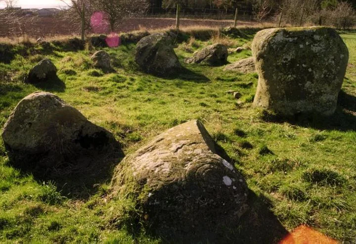
Little Meg
Hill forts · 1.5 km

Salkeld Hall
Historic houses · 1.7 km

Glassonby
Villages · 1.7 km

Bank House Farm
Campsites · 1.7 km
Nearby
📷 3Historic bridges · North West England
Eden Lacy Viaduct
Eden Lacy Viaduct is a historic bridge in the United Kingdom.
📷 3Archaeological sites · North West England
Throstle Brow prehistoric enclosure
Throstle Brow prehistoric enclosure — archaeological site in Hunsonby, Eden, England, UK.
📷 3📷 4Archaeological sites · North West England
Long Meg and Her Daughters
Long Meg and Her Daughters in England North East, United Kingdom.
📷 3Archaeological sites · North West England
Long Meg
Long Meg — an archaeological site in North West England, United Kingdom.
📷 3Heritage railway stations · North West England
Little Salkeld rail accident
Little Salkeld rail accident in England North East, United Kingdom.
Where to eat & stay near Long Meg Mine
Places to stay
📷 5 📷 5
📷 5Campsites · North West England
Mains Farm
Mains Farm — a campsite in scotland lowlands.
 📷 5
📷 5Campsites · North West England
Lazonby Pool Campsite
Lazonby Pool Campsite — a campsite in scotland lowlands.
 📷 5
📷 5Caravan parks · North West England
Melmerby Mill Holiday Caravan Park
Melmerby Mill Holiday Caravan Park — a caravan park in scotland lowlands.
 📷 5
📷 5Caravan parks · North East England
Melmerby Holiday Park
Melmerby Holiday Park — a caravan park in scotland lowlands.
 📷 5
📷 5Caravan parks · North East England
Crossfell Caravan Park
Crossfell Caravan Park — a caravan park in scotland lowlands.
Places to eat & drink
 📷 3
📷 3 📷 7
📷 7Cafés · North West England
Narrowbar Cafe
Narrowbar Cafe — a café in scotland lowlands.
 📷 6
📷 6Historic pubs · North West England
Gloucester Arms
Gloucester Arms in Scotland Lowlands, United Kingdom.
 📷 7
📷 7Historic pubs · North West England
Two Lions public house and integral stables
Two Lions public house and integral stables in Scotland Lowlands, United Kingdom.
 📷 5
📷 5Historic pubs · North West England
Horse And Farrier Inn And Stables
Horse And Farrier Inn And Stables in Scotland Lowlands, United Kingdom.
 📷 5
📷 5Historic pubs · North West England
Graham Arms (West Of Gelt Bridge)
Graham Arms (West Of Gelt Bridge) in Scotland Lowlands, United Kingdom.
More viewpoints in this region
 📷 3
📷 3 📷 4
📷 4 📷 3
📷 3Viewpoints · North West England
Southside MAN Viewing area
Southside MAN Viewing area is a viewpoint in the United Kingdom.
 📷 3
📷 3Frequently asked questions
- Where is Long Meg Mine?
- Long Meg Mine is in North-West England, United Kingdom (postcode CA10 1BZ), in the parish of Great Salkeld.
- What is Long Meg Mine?
- Long Meg Mine is a viewpoint in the United Kingdom.
- How do I get to Long Meg Mine?
- The nearest railway station is Lazonby and Kirkoswald, about 2.5 km away. The nearest town is Great Salkeld. Drivers can use postcode CA10 1BZ.
- Is Long Meg Mine a protected site?
- Yes — Long Meg Mine is part of the River Eden and Tributaries SSSI Site of Special Scientific Interest and the North Pennines National Landscape (AONB).
- Is Long Meg Mine free to visit?
- Yes, Long Meg Mine is free to enter.
- How do I get to Long Meg Mine?
- The nearest railway station is Lazonby and Kirkoswald, about 2.5 km away. Drivers can navigate to postcode CA10 1BZ.