
Hill forts · North West England
Little Meg
In or near Great Salkeld.
Little Meg — archaeological site in Little Salkeld, Hunsonby, England, UK.

Wikimedia Commons contributors — see linked file page for photographer and licence licence

Plan your visit
- Typical visit
- 1 h–2 h
- Nearest railway station
- Lazonby and Kirkoswald · 3.8 km
- Free entry
- Dog-friendly
Getting there & planning your visit
To visit Little Meg, the nearest railway station is Lazonby and Kirkoswald, located 3.8 km away. Entry is free.
About
Little Meg is a hill fort in the United Kingdom. Wikidata describes it as: "archaeological site in Little Salkeld, Hunsonby, England, UK". Coordinates: 54.7297°, -2.6567°.
Photo gallery
Official information
Little Meg is a Bronze Age round cairn located in Cumbria, featuring a ring of kerb stones that once surrounded a burial mound. Visitors can see the remains of the cairn and a carved rock with intricate designs, including a spiral motif and concentric circles.
Protected designations
- Site of Special Scientific Interest: River Eden and Tributaries SSSI
- Area of Outstanding Natural Beauty: North Pennines
Designations sourced from Natural England open data under OGL v3.
From the Wikipedia article
Little Meg (also known as the Maughanby circle) is a small circle of large kerb stones which probably surrounded a Bronze Age kerb cairn. It is close to the village of Langwathby to the north-east of Penrith in the English county of Cumbria and is 650 metres north-east of the more famous stone circle of Long Meg and Her Daughters. It forms part of a complex of stone circles and cairns around the Long Meg site that includes the circle at Glassonby, Old Parks, and other sites since lost. Two of the stones (only one remaining) were decorated in antiquity with a series of concentric circles and a spiral.
Excerpt from Wikipedia under CC BY-SA 4.0. See the source article linked in Sources below.
Background
Architecture
Other questions concern the nature of the construction of Little Meg. When first discovered in the middle of the nineteenth century, there was a c.1.3m mound covering the stones. The number of stones was reported to be 8 by one person, 11 by another, perhaps because the mound was not completely cleared away and still covered three stones. Bones, charcoal and a 'coarse pot' were found buried in a cist at the centre of the circle, the pot being unadorned and standing at the east end of the cist. Whether the stones were standing or lying down is also another question. It is possible that some stones were pushed over prior to the building of the mound. Given an 11-stone circle, about 18 feet in…
Sourced from Wikipedia under CC BY-SA 4.0.
- Coordinates
- 54.7297, -2.6567
- District
- Westmorland and Furness
- Parish
- Glassonby
- Postcode
- CA10 1NP
- Parliamentary constituency
- Penrith and Solway
- Nearest railway station
- Lazonby and Kirkoswald — 3.8 km
- Official site
- www.stone-circles.org.uk
Sources
- wikidata: Q11689326 (CC0)
- wikipedia: Little Meg (CC BY-SA 4.0)
- commons: LittleMeg001.jpg (CC BY-SA 4.0)
Other places nearby

Glassonby
Historic houses · 0.6 km

Long Meg
Archaeological sites · 0.8 km

Long Meg and Her Daughters
Archaeological sites · 0.8 km
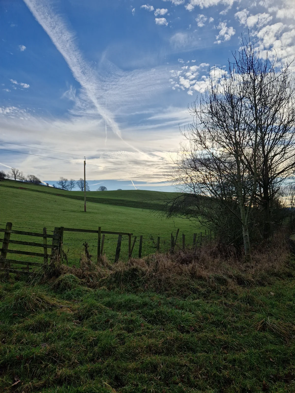
Throstle Brow prehistoric enclosure
Archaeological sites · 1.2 km

Glassonby
Villages · 1.2 km

Long Meg Mine
Viewpoints · 1.5 km

Little Salkeld rail accident
Heritage railway stations · 1.6 km

Lacy's Caves
Caves · 1.7 km

Eden Lacy Viaduct
Historic bridges · 1.7 km

Hunsonby
Stone circles · 1.8 km

Little Salkeld Flour Mill
Watermills · 1.8 km
Little Salkeld
Other places · 1.8 km
Nearby
📷 4📷 3Archaeological sites · North West England
Long Meg
Long Meg — an archaeological site in North West England, United Kingdom.
📷 4Archaeological sites · North West England
Long Meg and Her Daughters
Long Meg and Her Daughters in England North East, United Kingdom.
📷 3Archaeological sites · North West England
Throstle Brow prehistoric enclosure
Throstle Brow prehistoric enclosure — archaeological site in Hunsonby, Eden, England, UK.
📷 5📷 3Viewpoints · North West England
Long Meg Mine
Long Meg Mine is a viewpoint in the United Kingdom.
Where to eat & stay near Little Meg
Places to stay
 📷 5
📷 5 📷 5
📷 5Caravan parks · North West England
Melmerby Mill Holiday Caravan Park
Melmerby Mill Holiday Caravan Park — a caravan park in scotland lowlands.
 📷 5
📷 5Campsites · North West England
Mains Farm
Mains Farm — a campsite in scotland lowlands.
 📷 5
📷 5Campsites · North West England
Lazonby Pool Campsite
Lazonby Pool Campsite — a campsite in scotland lowlands.
 📷 5
📷 5Caravan parks · North East England
Melmerby Holiday Park
Melmerby Holiday Park — a caravan park in scotland lowlands.
 📷 5
📷 5Caravan parks · North East England
Crossfell Caravan Park
Crossfell Caravan Park — a caravan park in scotland lowlands.
Places to eat & drink
 📷 3
📷 3 📷 7
📷 7Cafés · North West England
Narrowbar Cafe
Narrowbar Cafe — a café in scotland lowlands.
 📷 7
📷 7Historic pubs · North West England
Two Lions public house and integral stables
Two Lions public house and integral stables in Scotland Lowlands, United Kingdom.
 📷 6
📷 6Historic pubs · North West England
Gloucester Arms
Gloucester Arms in Scotland Lowlands, United Kingdom.
 📷 5
📷 5Historic pubs · North West England
Horse And Farrier Inn And Stables
Horse And Farrier Inn And Stables in Scotland Lowlands, United Kingdom.
 📷 5
📷 5Historic pubs · North East England
1, Scattergate
1, Scattergate in England North East, United Kingdom.
More places in this region
 📷 5
📷 5Hill forts · North West England
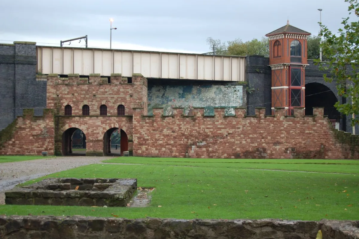
Mamucium
Mamucium — former Roman fort in the Castlefield area of Manchester in North West England.
 📷 3
📷 3Hill forts · North West England
Timperley Hall
Timperley Hall is a hill fort in the United Kingdom.
 📷 3
📷 3Hill forts · North West England
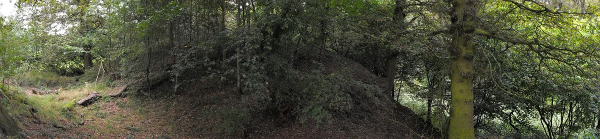
Watch Hill Castle
Watch Hill Castle — medieval castle in Bowdon, Greater Manchester, England, UK.
 📷 5
📷 5Hill forts · North West England
Buckton Castle
Buckton Castle — 12th-century castle in Mossley, Greater Manchester, England, UK.
Frequently asked questions
- Where is Little Meg?
- Little Meg is in North-West England, United Kingdom (postcode CA10 1NP), in the parish of Glassonby.
- What is Little Meg?
- Little Meg — archaeological site in Little Salkeld, Hunsonby, England, UK.
- How do I get to Little Meg?
- The nearest railway station is Lazonby and Kirkoswald, about 3.8 km away. The nearest town is Great Salkeld. Drivers can use postcode CA10 1NP.
- Is Little Meg a protected site?
- Yes — Little Meg is part of the River Eden and Tributaries SSSI Site of Special Scientific Interest and the North Pennines National Landscape (AONB).
- Is Little Meg free to visit?
- Yes, Little Meg is free to enter.
- How do I get to Little Meg?
- The nearest railway station is Lazonby and Kirkoswald, about 3.8 km away. Drivers can navigate to postcode CA10 1NP.