
Reservoirs & lochs · Scottish Highlands
Loch Monar
Loch Monar — freshwater lake expanded in 1963 as a reservoir, in Highland, Scotland, UK, outflows via Garbh-uisge to the River Farrar.

Wikimedia Commons contributors — see linked file page for photographer and licence licence

Plan your visit
- Typical visit
- 1 h–2.5 h
- Free entry
- Dog-friendly
About
Loch Monar is a reservoir in the United Kingdom. Records date its origin to 1963. Part of Affric-Beauly hydro-electric power scheme. Wikidata describes it as: "freshwater lake expanded in 1963 as a reservoir, in Highland, Scotland, UK, outflows via Garbh-uisge to the River Farrar". Coordinates: 57.4171°, -5.0988°.
Photo gallery
From the Wikipedia article
Loch Monar is a freshwater loch situated at the head of Glen Strathfarrar, in the West Highlands of Scotland. Since the 1960s, it has been dammed as part of the Affric-Beauly hydro-electric power scheme. The loch is fed by a number of small burns running off the surrounding hills. The loch's primary outflow is the Garbh-uisge, which joins with the Uisge Misgeach to form the River Farrar. Much of the area around Loch Monar is remote and mountainous. This include the Munros of Sgùrr a' Chaorachain, Sgùrr Choinnich, Maoile Lunndaidh, Lurg Mhòr and Bidein a' Choire Sheasgaich.
Excerpt from Wikipedia under CC BY-SA 4.0. See the source article linked in Sources below.
- Coordinates
- 57.4171, -5.0988
- Address
- Glen Strathfarrar, Highland, Scotland
- Established
- 1963
Sources
- wikidata: Q6664977 (CC0)
- wikipedia: Loch Monar (CC BY-SA 4.0)
- commons: The southern end of Loch Monar. - geograph.org.uk - 448533.jpg (CC BY-SA 4.0)
Other places nearby

Maoìle Choill'-mas
Mountains & hills · 1.4 km

Meallan Odhar
Mountains & hills · 2.5 km
Meallan Odhar
Mountains & hills · 2.5 km

Meallan Buidhe
Mountains & hills · 2.8 km
Meallan Buidhe
Mountains & hills · 2.8 km
Meallan Odhar Doire nan Gillean
Mountains & hills · 3.2 km
Meallan Odhar Doire nan Gillean
Mountains & hills · 3.2 km

Beinn Dubh
Mountains & hills · 3.2 km

An Gead Loch
Lakes · 3.8 km

Meallan Buidhe na Fheadain
Mountains & hills · 3.8 km
Meallan Buidhe an Fheadain
Mountains & hills · 3.9 km

Beinn Dubh an Iaruinn
Mountains & hills · 4.4 km
Nearby
📷 5Mountains & hills · Scottish Highlands
Maoìle Choill'-mas
Maoìle Choill'-mas — mountain in scotland highlands. Elevation: 504 m.
📷 5Mountains & hills · Scottish Highlands
Meallan Odhar
Meallan Odhar — mountain in scotland highlands. Elevation: 570 m.
📷 5Mountains & hills · Scottish Highlands
Meallan Odhar
Meallan Odhar — a hill or mountain in scotland highlands.
📷 5Mountains & hills · Scottish Highlands
Meallan Buidhe
Meallan Buidhe — mountain in scotland highlands. Elevation: 555 m.
📷 5Mountains & hills · Scottish Highlands
Meallan Buidhe
Meallan Buidhe — a hill or mountain in scotland highlands.
📷 5Mountains & hills · Scottish Highlands
Meallan Odhar Doire nan Gillean
Meallan Odhar Doire nan Gillean — a hill or mountain in scotland highlands.
Where to eat & stay near Loch Monar
Places to stay
 📷 5
📷 5Hostels · Scottish Highlands
Gerry's Hostel
Gerry's Hostel — a hostel in scotland highlands.
 📷 5
📷 5Caravan parks · Scottish Highlands
Ledgowan Lodge Campsite
Ledgowan Lodge Campsite — a caravan park in scotland highlands.
 📷 5
📷 5Hostels · Scottish Highlands
Glen Affric SYHA
Glen Affric SYHA — a hostel in scotland highlands.
 📷 5
📷 5Campsites · Scottish Highlands
Cannich Woodland Camping and Caravan Park
Cannich Woodland Camping and Caravan Park — a campsite in scotland highlands.
 📷 5
📷 5Hostels · Scottish Highlands
The Byre
The Byre — a hostel in scotland highlands.
 📷 7
📷 7Hotels · Scottish Highlands
Pathend Bed and Breakfast
Pathend Bed and Breakfast — a hotel in scotland highlands.
Other places from this era
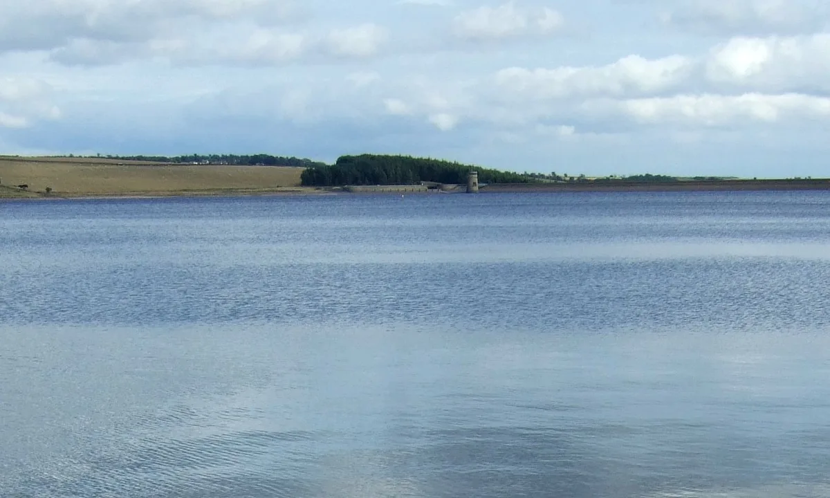 Flagship📷 3
Reservoirs & lochs · North East England
Q1200405
Q1200405 — reservoir on the border between County Durham and Northumberland, in England.
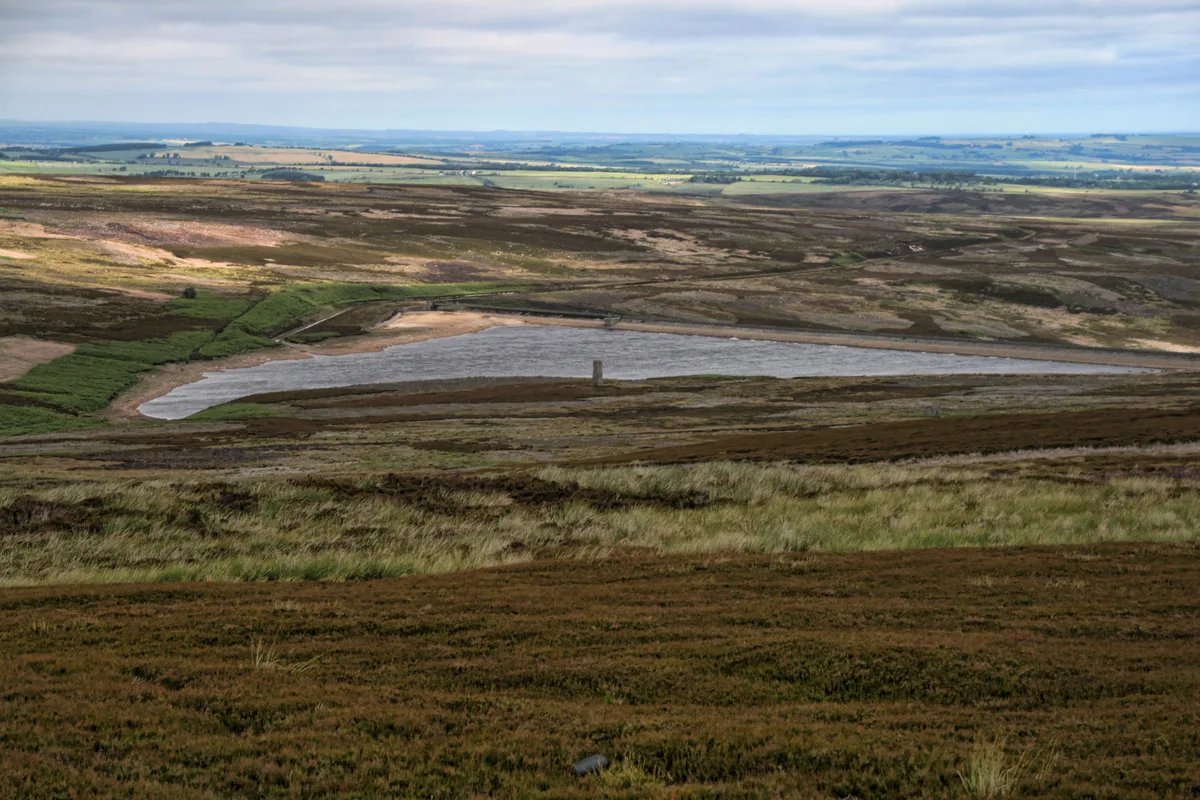 📷 3
📷 3Reservoirs & lochs · North East England
Hisehope Reservoir
Hisehope Reservoir — reservoir in County Durham, England, UK.
 📷 3
📷 3Reservoirs & lochs · Scottish Highlands
Loch Beinn a' Mheadhoin
Loch Beinn a' Mheadhoin — lake in Highland, Scotland, UK; from 1951 extended by damming.
 📷 3
📷 3Reservoirs & lochs · Scottish Lowlands
Clatteringshaws Loch
Clatteringshaws Loch — 1930s artificial freshwater lake in Dumfries and Galloway, Scotland, UK, on the (Galloway) River Dee.
More places in this region
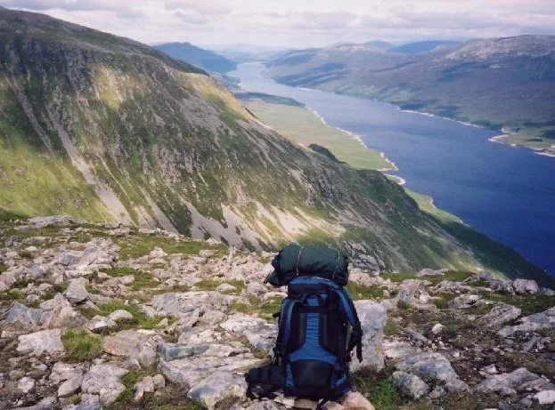 Flagship📷 3
Reservoirs & lochs · Scottish Highlands
Loch Ericht
Loch Ericht — lake in Perth and Kinross, and Highland, Scotland, UK, outflows to River Ericht.
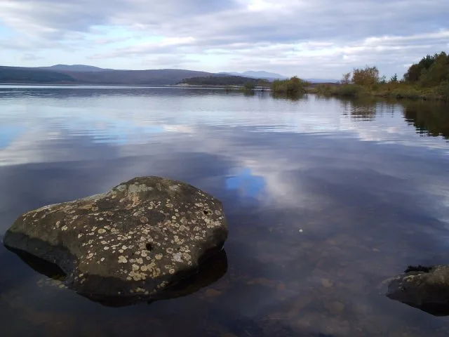 Flagship📷 3
Reservoirs & lochs · Scottish Highlands
Loch Shin
Loch Shin — reservoir in Highland, Scotland, UK, outflows to the River Shin.
 📷 4
📷 4Reservoirs & lochs · Scottish Highlands
Backwater Reservoir
Backwater Reservoir — lake in Angus, Scotland, UK.
 📷 3
📷 3Reservoirs & lochs · Scottish Highlands
Blackwater Reservoir
Blackwater Reservoir — reservoir in Highland, Scotland, UK, outflows to the River Leven.
Frequently asked questions
- Where is Loch Monar?
- Loch Monar is in the Scottish Highlands, United Kingdom.
- What is Loch Monar?
- Loch Monar — freshwater lake expanded in 1963 as a reservoir, in Highland, Scotland, UK, outflows via Garbh-uisge to the River Farrar.
- How do I get to Loch Monar?
- Its coordinates are 57.4171°, -5.0988°.
- When was Loch Monar built?
- Built or established in 1963.
- Is Loch Monar free to visit?
- Yes, Loch Monar is free to enter.