
Archaeological sites · North Wales
Llyn Ddu Bach Manganese Mine (disused)
In or near Q737888.
Llyn Ddu Bach Manganese Mine (disused) — a archaeological in wales-north, United Kingdom.

Arthur C Harris — CC BY-SA 2.0 via Wikimedia Commons licence

Plan your visit
- Typical visit
- 45 min–1.5 h
- Nearest railway station
- Talsarnau · 5.2 km
- Free entry
- Dog-friendly
About
Llyn Ddu Bach Manganese Mine (disused) is a archaeological located in wales-north, United Kingdom. Sourced from OpenStreetMap (ODbL licence); see local listings for visitor information, opening hours and admission details.
Photo gallery
Place summary
Llyn Ddu Bach Manganese Mine is a disused archaeological site located in North Wales. It represents the historical extraction of manganese, a significant mineral during the industrial era. The site provides insight into mining practices and the economic activities of the region.
AI-generated from the structured facts on this page (operator, designation, listing, era). Not a substitute for visiting.
- Coordinates
- 52.8873, -3.9954
- Nearest railway station
- Talsarnau — 5.2 km
Sources
- osm: node/3740589521 (ODbL)
Other places nearby
Moel Ysgyfarnogod South Top
Mountains & hills · 0.2 km

Moel Ysgyfarnogod South Top
Mountains & hills · 0.2 km

Corn-y-stwc
Mountains & hills · 0.3 km

Corn-y-stwc
Mountains & hills · 0.3 km
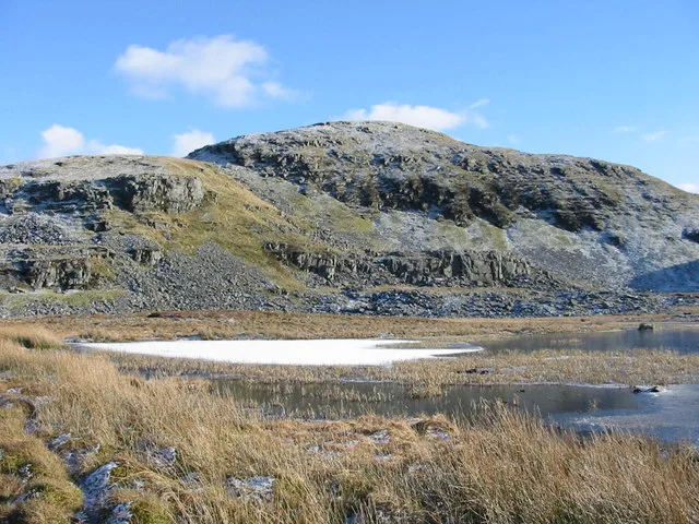
Moel Ysgyfarnogod
Natural landmarks · 0.4 km
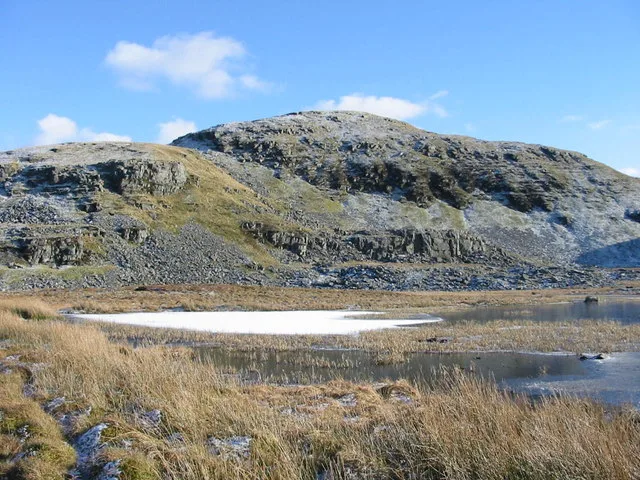
Moel Ysgyfarnogod
Mountains & hills · 0.5 km
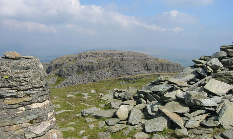
Foel Penolau
Natural landmarks · 0.8 km
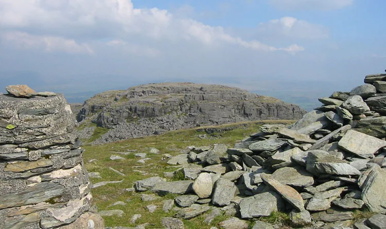
Foel Penolau
Mountains & hills · 0.8 km

Llyn Dywarchen Manganese Mine (disused)
Archaeological sites · 0.9 km

Craig Ddrwg
Mountains & hills · 0.9 km
Craig Ddrwg
Mountains & hills · 0.9 km

Cefn Y Clawdd Manganese Mine (disused)
Archaeological sites · 0.9 km
Nearby
📷 3Mountains & hills · North Wales
Moel Ysgyfarnogod South Top
Moel Ysgyfarnogod South Top — a mountain in wales-north, United Kingdom, 578 m.
📷 5Mountains & hills · North Wales
Moel Ysgyfarnogod South Top
Moel Ysgyfarnogod South Top — mountain in wales north. Elevation: 578 m.
📷 5📷 3Mountains & hills · North Wales
Corn-y-stwc
Corn-y-stwc — a mountain in wales-north, United Kingdom, 594 m.
📷 3Natural landmarks · North Wales
Moel Ysgyfarnogod
Moel Ysgyfarnogod — mountain (623m) in Gwynedd.
📷 3Where to eat & stay near Llyn Ddu Bach Manganese Mine (disused)
Places to stay
 📷 5
📷 5 📷 5
📷 5 📷 5
📷 5Hotels · North Wales
Hotel Maes-y-Neuadd
Hotel Maes-y-Neuadd — a hotel in wales north.
 📷 5
📷 5Caravan parks · North Wales
Barcdy Caravan & Camping Park ,
Barcdy Caravan & Camping Park , — a caravan park in wales north.
 📷 5
📷 5Campsites · North Wales
Barcdy Caravan & Camping Park ,
Barcdy Caravan & Camping Park , — a campsite in wales north.
 📷 5
📷 5Places to eat & drink
 📷 5
📷 5 📷 7
📷 7 📷 5
📷 5Restaurants · North Wales
Dylan's Restaurant
Dylan's Restaurant — a restaurant in wales north. Cuisine: burger;cake;coffee shop;fish;italian;italian pizza;pasta;pizza;seafood.
 📷 5
📷 5 📷 7
📷 7 📷 7
📷 7More archaeological sites in this region
 📷 3
📷 3Archaeological sites · North Wales
Coed-y-Brenin
Coed-y-Brenin is a archaeological site in the United Kingdom.
 📷 3
📷 3Archaeological sites · North Wales
Gwydir Forest
Gwydir Forest — forest in Conwy County Borough, Wales.
 📷 3
📷 3Archaeological sites · North Wales
Newborough Forest
Newborough Forest — forest in Anglesey, North Wales.
 📷 4
📷 4Archaeological sites · North Wales
Canovium
Canovium was a fort in the Roman province of Britannia. Its site is located at Caerhun in the Conwy valley, in the county borough of Conwy, in North Wales.
Frequently asked questions
- Where is Llyn Ddu Bach Manganese Mine (disused)?
- Llyn Ddu Bach Manganese Mine (disused) is in North Wales, United Kingdom.
- What is Llyn Ddu Bach Manganese Mine (disused)?
- Llyn Ddu Bach Manganese Mine (disused) — a archaeological in wales-north, United Kingdom.
- How do I get to Llyn Ddu Bach Manganese Mine (disused)?
- The nearest railway station is Talsarnau, about 5.2 km away. Its coordinates are 52.8873°, -3.9954°.
- Is Llyn Ddu Bach Manganese Mine (disused) free to visit?
- Yes, Llyn Ddu Bach Manganese Mine (disused) is free to enter.
- How do I get to Llyn Ddu Bach Manganese Mine (disused)?
- The nearest railway station is Talsarnau, about 5.2 km away.