Mountains & hills · North Wales
Foel Penolau
In or near Q737888.
Foel Penolau — Named summit at 614 m.

Wikimedia Commons contributors — see linked file page for photographer and licence licence
Plan your visit
- Typical visit
- 3 h–8 h
- Best time of year
- Late spring – early autumn (May–Oct)
- Nearest railway station
- Talsarnau · 5.3 km
- Free entry
- Dog-friendly
Getting there & planning your visit
To visit Foel Penolau, the nearest railway station is Talsarnau, which is 5.3 km away. The postcode for navigation is LL47 6YU, and entry to the mountain is free.
About
Foel Penolau is a named summit in the United Kingdom. Wikidata describes it as: "Named summit at 614 m.". Coordinates: 52.8943°, -3.9906°.
Photo gallery
From the Wikipedia article
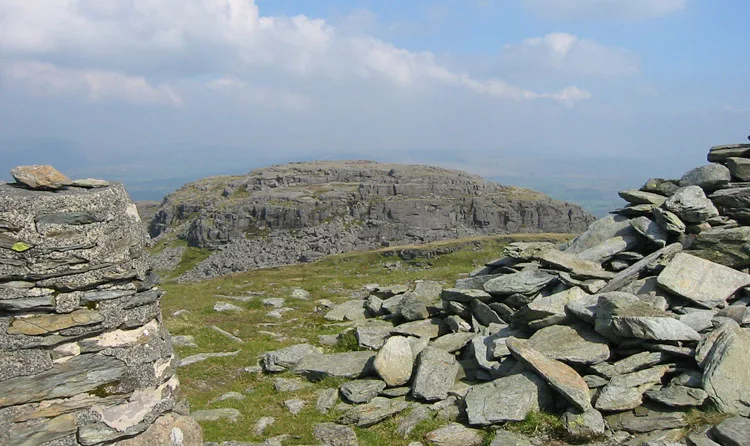
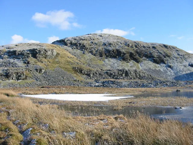
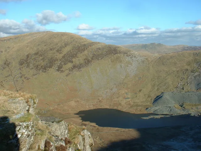
Foel Penolau is a mountain close to Moel Ysgyfarnogod in Snowdonia, North Wales and is the northernmost summit of the Rhinogydd, and overlooks Llyn Trawsfynydd. From the summit it is possible to see the towns of Porthmadog and Blaenau Ffestiniog. As a result of a revised survey of its topographical prominence, Foel Penolau gained Hewitt and Simms status in December 2018 when its prominence was measured to be above 30 m (98 ft). The top of Foel Penolau is reputed to be one of the rockiest summits in Snowdonia, where hands must be used to attain the summit. The summit is on a large smooth slab of rock which is the surface of the outcrop from which the top was formed.
Excerpt from Wikipedia under CC BY-SA 4.0. See the source article linked in Sources below.
- Coordinates
- 52.8943, -3.9906
- District
- Gwynedd
- Parish
- Talsarnau
- Postcode
- LL47 6YU
- Parliamentary constituency
- Dwyfor Meirionnydd
- Nearest railway station
- Talsarnau — 5.3 km
Sources
- osm: n3487057377 (ODbL)
- wikipedia: Foel Penolau (CC BY-SA 4.0)
- commons: Penolauu.jpg (CC BY-SA 4.0)
Other places nearby
Foel Penolau
Natural landmarks · 0.0 km

Diffwys
Mountains & hills · 0.3 km
Moel Ysgyfarnogod
Mountains & hills · 0.4 km

Cefn Y Clawdd Manganese Mine (disused)
Archaeological sites · 0.5 km

Moel Ysgyfarnogod
Natural landmarks · 0.5 km

Moel Ysgyfarnogod South Top
Mountains & hills · 0.8 km

Moel Ysgyfarnogod South Top
Mountains & hills · 0.8 km
Moel Ddinas
Mountains & hills · 0.8 km
Llyn Ddu Bach Manganese Mine (disused)
Archaeological sites · 0.8 km

Llyn Dywarchen Manganese Mine (disused)
Archaeological sites · 1.0 km

Moel y Gyrafolen
Mountains & hills · 1.1 km

Corn-y-stwc
Mountains & hills · 1.2 km
Nearby
📷 3📷 5📷 3📷 3Archaeological sites · North Wales
Cefn Y Clawdd Manganese Mine (disused)
Cefn Y Clawdd Manganese Mine (disused) — a archaeological in wales-north, United Kingdom.
📷 3Natural landmarks · North Wales
Moel Ysgyfarnogod
Moel Ysgyfarnogod — mountain (623m) in Gwynedd.
📷 5Mountains & hills · North Wales
Moel Ysgyfarnogod South Top
Moel Ysgyfarnogod South Top — mountain in wales north. Elevation: 578 m.
Where to eat & stay near Foel Penolau
Places to stay
 📷 5
📷 5 📷 5
📷 5 📷 5
📷 5Caravan parks · North Wales
Barcdy Caravan & Camping Park ,
Barcdy Caravan & Camping Park , — a caravan park in wales north.
 📷 5
📷 5Hotels · North Wales
Hotel Maes-y-Neuadd
Hotel Maes-y-Neuadd — a hotel in wales north.
 📷 5
📷 5 📷 5
📷 5Campsites · North Wales
Barcdy Caravan & Camping Park ,
Barcdy Caravan & Camping Park , — a campsite in wales north.
Places to eat & drink
 📷 5
📷 5 📷 7
📷 7 📷 5
📷 5Restaurants · North Wales
Dylan's Restaurant
Dylan's Restaurant — a restaurant in wales north. Cuisine: burger;cake;coffee shop;fish;italian;italian pizza;pasta;pizza;seafood.
 📷 5
📷 5 📷 7
📷 7 📷 7
📷 7More mountains in this region
 📷 5
📷 5Mountains & hills · North Wales
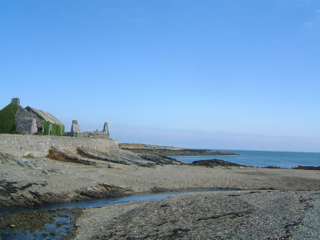
Cemlyn Bay and lagoon
Cemlyn Bay and lagoon — Site of Special Scientific Interest in Wales.
 📷 3
📷 3Mountains & hills · North Wales
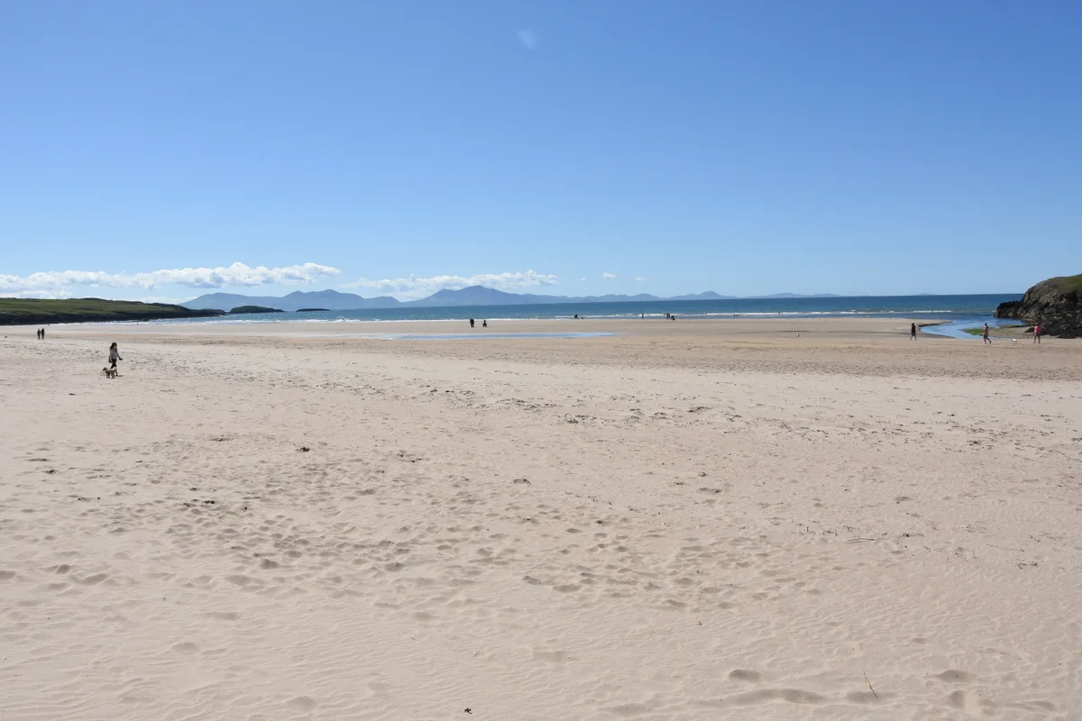
Aberffraw Bay
Aberffraw Bay — bay on the west coast of Anglesey, in Wales, UK.
 📷 3
📷 3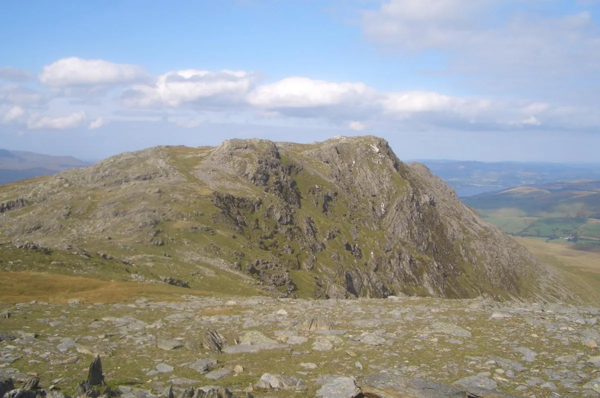 📷 3
📷 3Mountains & hills · North Wales
Aran Benllyn
Aran Benllyn — Named summit at 884 m.
Frequently asked questions
- Where is Foel Penolau?
- Foel Penolau is in North Wales, United Kingdom (postcode LL47 6YU), in the parish of Talsarnau.
- What is Foel Penolau?
- Foel Penolau — Named summit at 614 m.
- How do I get to Foel Penolau?
- The nearest railway station is Talsarnau, about 5.3 km away. Drivers can use postcode LL47 6YU.
- Is Foel Penolau free to visit?
- Yes, Foel Penolau is free to enter.
- How do I get to Foel Penolau?
- The nearest railway station is Talsarnau, about 5.3 km away. Drivers can navigate to postcode LL47 6YU.