Natural landmarks · Northern Ireland
Listamlet
In or near Charlemont.
Listamlet in Northern Ireland, United Kingdom.

Kenneth Allen — CC BY-SA 2.0 via Wikimedia Commons licence
Plan your visit
- Typical visit
- 1 h–2 h
- Nearest railway station
- Peatlands Park Railway · 4.7 km
- Free entry
- Dog-friendly
About
Listamlet is a place of interest in Northern Ireland, United Kingdom — drawn from open-data sources for visitor reference. See the linked Wikipedia article for the full description.
Photo gallery
From the Wikipedia article
Listamlet is a townland in County Tyrone, Northern Ireland. It is situated in the barony of Dungannon Middle and the civil parish of Clonfeacle and covers an area of 166 acres. The name derives from the Irish: Lios Tamhlachta (Fort of the Burial Place). In 1841 the population of the townland was 257 people (48 houses) and in 1851 it was 196 people (37 houses).
Excerpt from Wikipedia under CC BY-SA 4.0. See the source article linked in Sources below.
- Coordinates
- 54.4706, -6.6853
- District
- Mid Ulster
- Postcode
- BT71 7EG
- Parliamentary constituency
- Mid Ulster
- Nearest railway station
- Peatlands Park Railway — 4.7 km
Sources
Other places nearby

Trew and Moy railway station
Natural landmarks · 1.2 km

Q17861948
Natural landmarks · 1.8 km
The Argory Museum
Museums · 1.9 km

142 Moy Road
Historic pubs · 2.1 km
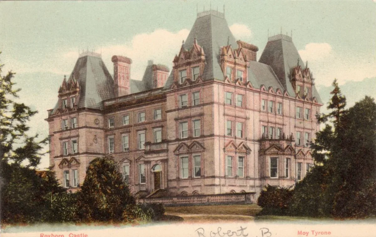
Roxborough Castle
Castles · 2.2 km
Nature Play Area
Natural landmarks · 2.2 km

Charlemont
Villages · 2.3 km

Mud-walled cottage
Archaeological sites · 2.3 km

Killyman
Natural landmarks · 2.5 km
%2C_ff.38v-39_-_BL_Add_MS_24200.jpg?width=1200)
Charlemont Fort
Forts · 2.5 km

Moy
Villages · 2.6 km

Moy
Natural landmarks · 2.7 km
Nearby
📷 5Natural landmarks · Northern Ireland
Trew and Moy railway station
Trew and Moy railway station in Northern Ireland, United Kingdom.
📷 3Natural landmarks · Northern Ireland
Q17861948
Q17861948 in Northern Ireland, United Kingdom.
📷 3Museums · Northern Ireland
The Argory Museum
The Argory Museum — a museum in northern-ireland, United Kingdom.
📷 5📷 3Castles · Northern Ireland
Roxborough Castle
Roxborough Castle — building in Moy, County Tyrone.
📷 3Natural landmarks · Northern Ireland
Nature Play Area
Nature Play Area — a other in northern-ireland, United Kingdom.
Where to eat & stay near Listamlet
Places to stay
 📷 5
📷 5Caravan parks · Northern Ireland
Dungannon Park Caravan & Camping
Dungannon Park Caravan & Camping — a caravan park in northern ireland.
 📷 5
📷 5Caravan parks · Northern Ireland
Dungannon Park Caravan & Camping
Dungannon Park Caravan & Camping — a caravan park in northern ireland.
 📷 5
📷 5Caravan parks · Northern Ireland
Kinnego Marina Camping & Caravanning
Kinnego Marina Camping & Caravanning — a caravan park in northern ireland.
 📷 5
📷 5 📷 5
📷 5 📷 4
📷 4Caravan parks · Northern Ireland
Clare Glen Caravan Park
Clare Glen Caravan Park — a caravan park in northern ireland.
Places to eat & drink
📷 5 📷 7
📷 7Historic pubs · Northern Ireland
1-3 High Street, Moneymore
1-3 High Street, Moneymore in Northern Ireland, United Kingdom.
More natural landmarks in this region
 Flagship📷 4
Natural landmarks · Northern Ireland
Lough Erne
Lough Erne — lake in County Fermanagh, Northern Ireland, UK.
 Flagship📷 4
Natural landmarks · Northern Ireland
Lough Neagh
Lough Neagh — large lake in Northern Ireland.
 📷 3
📷 3Natural landmarks · Northern Ireland
Ballysaggart Lough
Ballysaggart Lough — lake in the United Kingdom.
 📷 5
📷 5Natural landmarks · Northern Ireland
Belmore Mountain
Belmore Mountain — mountain in the United Kingdom.
Frequently asked questions
- Where is Listamlet?
- Listamlet is in Northern Ireland, United Kingdom (postcode BT71 7EG).
- What is Listamlet?
- Listamlet in Northern Ireland, United Kingdom.
- How do I get to Listamlet?
- The nearest railway station is Peatlands Park Railway, about 4.7 km away. Drivers can use postcode BT71 7EG.
- Is Listamlet free to visit?
- Yes, Listamlet is free to enter.
- How do I get to Listamlet?
- The nearest railway station is Peatlands Park Railway, about 4.7 km away. Drivers can navigate to postcode BT71 7EG.