
Castles · Northern Ireland
Roxborough Castle
In or near Charlemont.
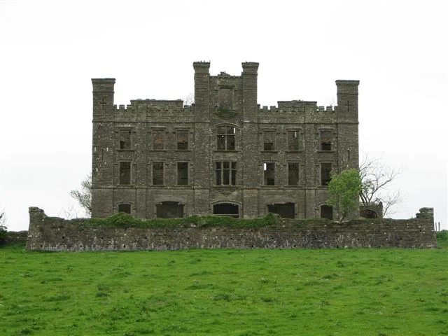
Roxborough Castle — building in Moy, County Tyrone.

Wikimedia Commons contributors — see linked file page for photographer and licence licence

Plan your visit
- Typical visit
- 1.5 h–3 h
- Nearest railway station
- Peatlands Park Railway · 5.9 km
- Family-friendly
- Limited wheelchair access
Getting there & planning your visit
To visit Roxborough Castle, the nearest railway station is Peatlands Park Railway, which is 5.9 km away. The postcode for sat-nav is BT71 7EA. Accessibility is limited for wheelchair users.
About
Roxborough Castle is a castle in the United Kingdom — fortified architecture from the medieval, Tudor, or Victorian-revival period. Wikidata describes it as: "building in Moy, County Tyrone". Coordinates: 54.4508°, -6.6856°.
Photo gallery
From the Wikipedia article
Roxborough Castle was a castle in Moy, County Tyrone, Northern Ireland originally built in 1738. It was the seat of the Earls of Charlemont, along with Charlemont Fort, and was burned out by the Irish Republican Army in 1922. Originally built in the 18th century it was remodelled by architect William Murray in 1842 for the second earl of Charlemont. Wings were added of one bay and two storeys over a basement, running the full length of the original block; these were in Murray's rather restrained Italianate style. The original block was given triangular window pediments and similar features so as to match the new wings. The entrance was moved round to the side of one of these wings, which became the new entrance front consisting of three bays with a low portico. The result was a house in the style of a French château. A conservatory, by Richard Turner, was added between c. 1850 and 1855. In 1864 the third Earl began further remodelling, with some fitting being installed from the family's Dublin home, Charlemont House. The architect this time was William Barre.
Excerpt from Wikipedia under CC BY-SA 4.0. See the source article linked in Sources below.
- Coordinates
- 54.4508, -6.6856
- District
- Mid Ulster
- Postcode
- BT71 7EA
- Parliamentary constituency
- Fermanagh and South Tyrone
- Nearest railway station
- Peatlands Park Railway — 5.9 km
Sources
- wikidata: Q15273452 (CC0)
- wikipedia: Roxborough Castle (CC BY-SA 4.0)
- commons: Roxborough Castle postcard.png (CC BY-SA 4.0)
Other places nearby

Charlemont
Villages · 0.2 km
%2C_ff.38v-39_-_BL_Add_MS_24200.jpg?width=1200)
Charlemont Fort
Forts · 0.5 km

Moy
Natural landmarks · 0.6 km

Charlemont Bridge
Historic bridges · 0.7 km

Charlemont
Towns & cities · 1.0 km

St Peter's Primary School, Charlemont
Historic churches · 1.0 km

Moy Tír Na nÓg GAC
Natural landmarks · 1.1 km
Kishaboy
Natural landmarks · 1.1 km

Moy
Villages · 1.2 km

Mud-walled cottage
Archaeological sites · 1.8 km

142 Moy Road
Historic pubs · 2.0 km

Listamlet
Natural landmarks · 2.2 km
Nearby
📷 5📷 5📷 5📷 3Historic bridges · Northern Ireland
Charlemont Bridge
Charlemont Bridge in Northern Ireland, United Kingdom.
📷 3Towns & cities · Northern Ireland
Charlemont
Charlemont — village in County Armagh, Northern Ireland, UK.
📷 3Historic churches · Northern Ireland
St Peter's Primary School, Charlemont
St Peter's Primary School, Charlemont in Northern Ireland, United Kingdom.
Where to eat & stay near Roxborough Castle
Places to stay
 📷 5
📷 5Caravan parks · Northern Ireland
Dungannon Park Caravan & Camping
Dungannon Park Caravan & Camping — a caravan park in northern ireland.
 📷 5
📷 5Caravan parks · Northern Ireland
Dungannon Park Caravan & Camping
Dungannon Park Caravan & Camping — a caravan park in northern ireland.
 📷 5
📷 5 📷 5
📷 5 📷 4
📷 4Caravan parks · Northern Ireland
Clare Glen Caravan Park
Clare Glen Caravan Park — a caravan park in northern ireland.
 📷 5
📷 5Caravan parks · Northern Ireland
Kinnego Marina Camping & Caravanning
Kinnego Marina Camping & Caravanning — a caravan park in northern ireland.
Places to eat & drink
📷 5More castles in this region
 📷 3
📷 3Castles · Northern Ireland
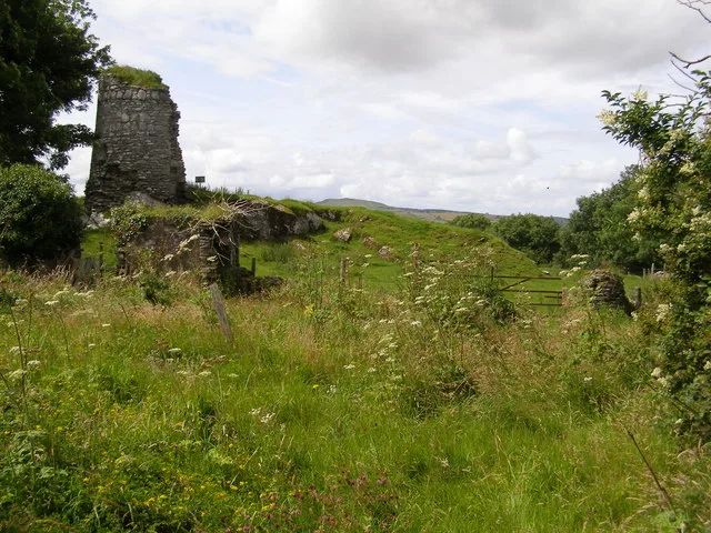
Aileach Castle
Aileach Castle — castle in Derry, County Londonderry, Northern Ireland.
 📷 3
📷 3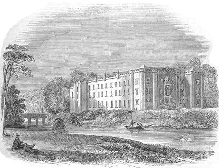 📷 5
📷 5Castles · Northern Ireland
Antrim Castle
Antrim Castle — 17th century house in Antrim, Ireland, now demolished.
 📷 5
📷 5Castles · Northern Ireland
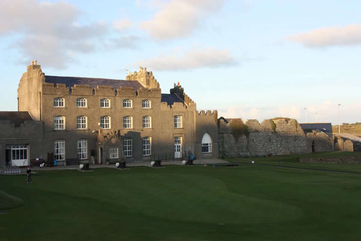
Ardglass Castle
Ardglass Castle — row of 15th century warehouses in Northern Ireland.
Frequently asked questions
- Where is Roxborough Castle?
- Roxborough Castle is in Northern Ireland, United Kingdom (postcode BT71 7EA).
- What is Roxborough Castle?
- Roxborough Castle — building in Moy, County Tyrone.
- How do I get to Roxborough Castle?
- The nearest railway station is Peatlands Park Railway, about 5.9 km away. The nearest town is Charlemont. Drivers can use postcode BT71 7EA.
- Does Roxborough Castle charge admission?
- Roxborough Castle typically charges admission. Check the official site for current ticket prices and opening hours.
- How do I get to Roxborough Castle?
- The nearest railway station is Peatlands Park Railway, about 5.9 km away. Drivers can navigate to postcode BT71 7EA.