
Museums · South East England
Liphook
In or near Linchmere.
Liphook is a village in the East Hampshire district of Hampshire, England. It is 4.1 miles (6.6 km) west of Haslemere, bypassed by the A3 road, and lies on the Hampshire/West Sussex/Surrey borders. It

Nicholas Youell — CC BY-SA 2.0 via Wikimedia Commons licence

Plan your visit
- Typical visit
- 1.5 h–3 h
- Best time of year
- Year-round
- Nearest railway station
- Liphook · 0.6 km
- Family-friendly
- Limited wheelchair access
Getting there & planning your visit
To visit Liphook museum, the nearest railway station is Liphook, located 0.6 km away. The postcode for the museum is GU30 7AQ. Please note that wheelchair accessibility is limited.
About
Liphook is a village in the East Hampshire district of Hampshire, England. It is 4.1 miles (6.6 km) west of Haslemere, bypassed by the A3 road, and lies on the Hampshire/West Sussex/Surrey borders. It is in the civil parish of Bramshott and Liphook, which includes Bramshott, Griggs Green, Conford, Passfield, Hammer Bottom (also called Hammer Vale), Ludshott Common and Waggoners Wells, and has an area of 6,540 acres (2,650 ha) and a population of 8,491 in 2011. Liphook has a railway station, on the Portsmouth Direct line. The village grew as a coaching stop between London and Portsmouth during the 17th and 18th centuries. It served as a base during the First World War and the Second World War for Canadian troops stationed in Southern England.
Photo gallery
See it from the streetimagery from 2021
Imagery © Mapillary contributors, CC BY-SA 4.0
Protected designations
- National Nature Reserve: WEALDEN HEATHS
- Area of Outstanding Natural Beauty: Surrey Hills
Designations sourced from Natural England open data under OGL v3.
From the Wikipedia article
Liphook is a village in the East Hampshire district of Hampshire, England. It is 4.1 miles (6.6 km) west of Haslemere, bypassed by the A3 road, and lies on the Hampshire/West Sussex/Surrey borders. It is in the civil parish of Bramshott and Liphook, which includes Bramshott, Griggs Green, Conford, Passfield, Hammer Bottom (also called Hammer Vale), Ludshott Common and Waggoners Wells, and has an area of 6,540 acres (2,650 ha) and a population of 8,491 in 2011. Liphook has a railway station, on the Portsmouth Direct line. The village grew as a coaching stop between London and Portsmouth during the 17th and 18th centuries. It served as a base during the First World War and the Second World War for Canadian troops stationed in Southern England.
Excerpt from Wikipedia under CC BY-SA 4.0. See the source article linked in Sources below.
Background
Description
Liphook grew further as a coach stop on the London - Portsmouth route. In Tudor times mail was sent from London to Portsmouth via Southampton and the route through Liphook was only used in emergencies, such as the Armada of 1588. The map of 1675 by John Ogilby shows this road bypassing Bramshott and going through Lippock, however the quality of this road was very poor. Originally travellers' needs were catered for by stalls, eventually replaced by the half-timbered houses that exist around The Square. Growth accelerated with wagons being replaced by coaches, and coaching in Liphook was firmly established by 1660. The roads were often unmaintained and unsigned - Samuel Pepys records three…
Sourced from Wikipedia under CC BY-SA 4.0.
- Coordinates
- 51.0760, -0.8030
- County
- Hampshire
- District
- East Hampshire
- Parish
- Bramshott and Liphook
- Postcode
- GU30 7AQ
- Parliamentary constituency
- Farnham and Bordon
- Nearest railway station
- Liphook — 0.6 km
- Official site
- www.neighbourhood.statistics.gov.uk
Sources
- wikipedia: Liphook (CC BY-SA 4.0)
Other places nearby

The Living Room Cinema
Cinemas · 0.1 km

Chiltee Manor
Manor houses · 0.3 km

Bramshott and Liphook
Museums · 1.4 km

War Memorial 120 Metres South West of Church
Memorials & monuments · 1.4 km
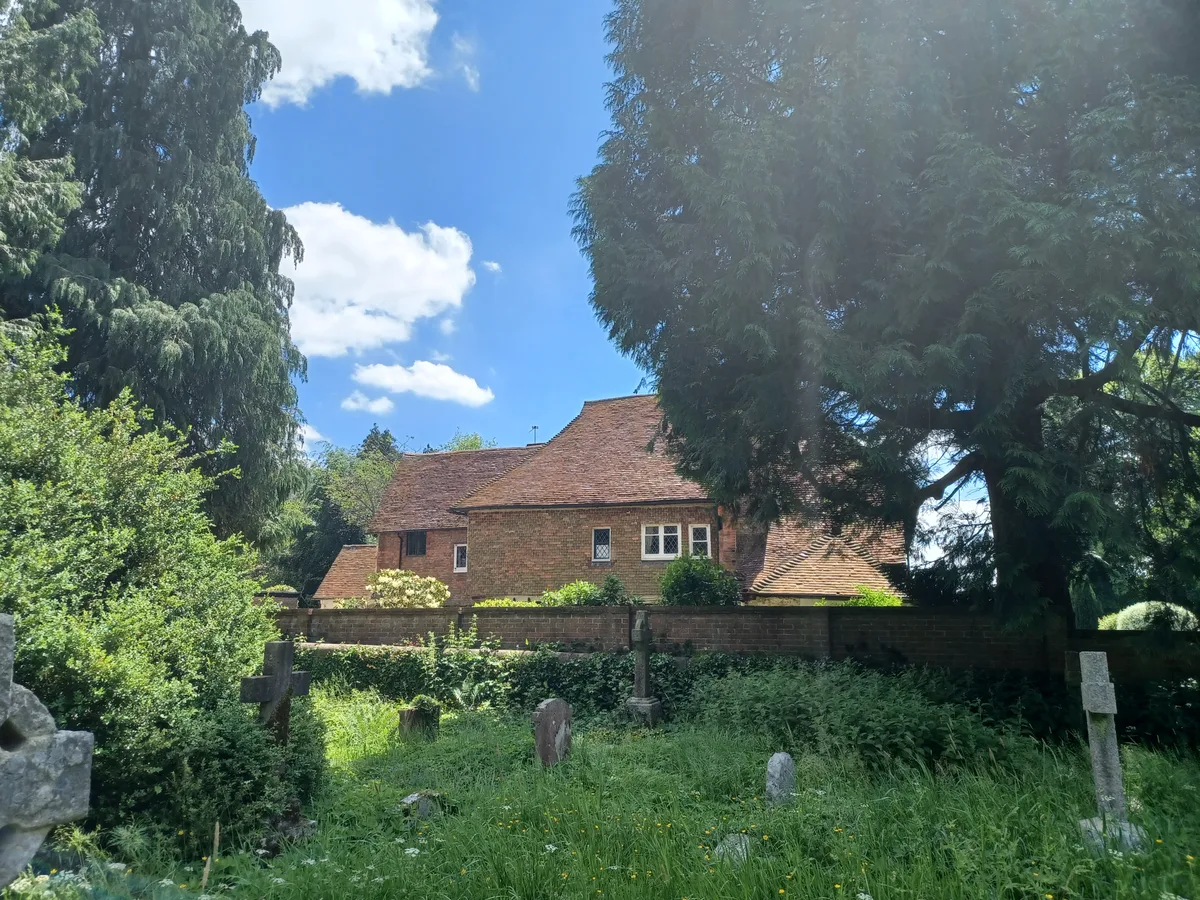
Bramshott Manor
Stately homes · 1.5 km

Bramshott War Memorial
Memorials & monuments · 1.5 km

Old Thorns Manor Hotel
Hotels · 2.0 km

Hollycombe Garden Railway
Miniature railways · 2.4 km
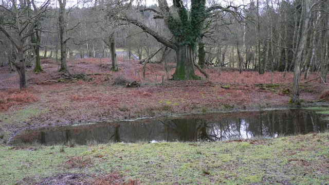
Lynchmere Commons
Wildlife reserves · 2.5 km

Downlands
Manor houses · 2.5 km

Ludshott Manor
Manor houses · 2.7 km

Keeper's Hill
Mountains & hills · 2.7 km
Nearby
📷 5Cinemas · South East England
The Living Room Cinema
The Living Room Cinema — a cinema in england south east.
📷 5Manor houses · South East England
Chiltee Manor
Chiltee Manor — Grade II listed building-listed manor in england-south-east, United Kingdom.
📷 5Museums · South East England
Bramshott and Liphook
Bramshott and Liphook, formerly just Bramshott is a civil parish in the East Hampshire district, in Hampshire, England, on the main route from London to Portsmouth. Formerly local government was solel
📷 5Memorials & monuments · South East England
War Memorial 120 Metres South West of Church
War Memorial 120 Metres South West of Church — Grade II listed building-listed memorial in england-south-east, United Kingdom.
Flagship📷 5Stately homes · South East England
Bramshott Manor
Bramshott Manor — manor house in Bramshott, Hampshire, England, UK.
📷 5Memorials & monuments · South East England
Bramshott War Memorial
Bramshott War Memorial — Grade II listed building-listed memorial in england-south-east, United Kingdom.
Where to eat & stay near Liphook
Places to stay
📷 5Hotels · South East England
Old Thorns Manor Hotel
Old Thorns Manor Hotel — a hotel in england south east.
 📷 5
📷 5Caravan parks · South East England
Whitehill Park
Whitehill Park — a caravan park in england south east.
 📷 5
📷 5Campsites · South East England
Hazelbank Farm
Hazelbank Farm — a campsite in england south east.
 📷 5
📷 5Hotels · South East England
Georgian House Hotel
Georgian House Hotel — a hotel in england south east.
 📷 5
📷 5 📷 5
📷 5Hotels · South East England
Lythe Hill Hotel
Lythe Hill Hotel — a hotel in england south east.
Places to eat & drink
 📷 5
📷 5Historic pubs · South East England
The Staff Of Life Public House
The Staff Of Life Public House in England South East, United Kingdom.
 📷 5
📷 5Historic pubs · South East England
The Duke Of Cumberland Public House
The Duke Of Cumberland Public House in England South East, United Kingdom.
 📷 7
📷 7Historic pubs · South East England
Keepers Arms
Keepers Arms — Historic pub — listed building or notable heritage status.
 📷 7
📷 7Historic pubs · South East England
The Selborne Arms
The Selborne Arms in England South East, United Kingdom.
 📷 5
📷 5Historic pubs · South East England
Page's Stores The White Horse Inn
Page's Stores The White Horse Inn in England South East, United Kingdom.
 📷 5
📷 5Historic pubs · South East England
The Harrow
The Harrow in England South East, United Kingdom.
More museums in this region
 📷 5
📷 5Museums · South East England
Coldrum Long Barrow
Coldrum Long Barrow — neolithic chambered long barrow near Trottiscliffe, Kent, England, UK.
 📷 5
📷 5Museums · South East England
Guildford House
Guildford House — house in Guildford, Surrey, England, UK.
 📷 5
📷 5Museums · South East England
Huguenot Museum
Huguenot Museum — museum in Rochester, England, UK.
 📷 5
📷 5Museums · South East England
Medway megaliths
Medway megaliths — group of long barrows in Kent, England.
Frequently asked questions
- Where is Liphook?
- Liphook is in Hampshire, South-East England, United Kingdom (postcode GU30 7AQ), in the parish of Bramshott and Liphook.
- What is Liphook?
- Liphook is a village in the East Hampshire district of Hampshire, England. It is 4.1 miles (6.6 km) west of Haslemere, bypassed by the A3 road, and lies on the Hampshire/West Sussex/Surrey borders. It
- How do I get to Liphook?
- The nearest railway station is Liphook, about 0.6 km away. Drivers can use postcode GU30 7AQ.
- Is Liphook a protected site?
- Yes — Liphook is part of the WEALDEN HEATHS National Nature Reserve and the Surrey Hills National Landscape (AONB).
- How do I get to Liphook?
- The nearest railway station is Liphook, about 0.6 km away. Drivers can navigate to postcode GU30 7AQ.