
Hill forts · East Midlands
Lindum Colonia
In or near Lincoln.
Lindum Colonia — Roman settlement in Lincoln, United Kingdom.

Wikimedia Commons contributors — see linked file page for photographer and licence licence

Plan your visit
- Typical visit
- 1 h–2 h
- Nearest railway station
- Lincoln · 0.9 km
- Free entry
- Family-friendly
- Dog-friendly
Getting there & planning your visit
To visit Lindum Colonia, the nearest railway station is Lincoln, located 0.9 km away. Entry is free, but please note that the site is not wheelchair accessible. The postcode for sat-nav is LN2 1PX.
About
Lindum Colonia is a hill fort in the United Kingdom. Wikidata describes it as: "Roman settlement in Lincoln, United Kingdom". Coordinates: 53.2339°, -0.5381°.
Photo gallery
From the Wikipedia article
Lindum Colonia was the Roman settlement which is now the City of Lincoln in Lincolnshire. It was founded as a Roman Legionary Fortress during the reign of the Emperor Nero (58–68 AD) or possibly later. Evidence from Roman tombstones suggests that Lincoln was first garrisoned by the Ninth Legion Hispana, which probably moved from Lincoln to found the fortress at York around c. 71 AD. Lindum was then garrisoned by the Second Legion Adiutrix, which then went on to Chester in 77–78 AD. Probably under the reign of Domitian and most likely after 86 AD, the fortress became a colonia, a settlement for retired soldiers sanctioned by the Emperor. The colonia now developed and a second enclosure, often referred to as the Lower Colonia was added between the Upper Colonia and the River Witham. Evidence has been uncovered for the Forum, baths, temples, buildings and shops of the colonia which was enclosed by walls. The walls of the Upper Colonia started to be built in the earlier part of the 2nd century, while the Lower Colonia was walled in either the late 2nd or early 3rd centuries. The Roman settlement also spread to the south of the river Witham in the area known as the Wigford. In the early 3rd century with the re-organisation of the Roman Empire, a case can be made that Lindum Colonia had become the provincial capital of Britannia Secunda and possibly a Bishop from Lincoln was present at the Council of Arles in 314 AD. In the 4th century Lincoln continued to develop and there is increasing evidence for Christianity. After the departure of the Romans in the 5th century Lindum declined in size and population, although archaeological evidence suggests some degree of continuity.
Excerpt from Wikipedia under CC BY-SA 4.0. See the source article linked in Sources below.
Background
History
| caption = Groundplan of the walls and gates of Lindum Colonia, over a modern map of Lincoln. | legendBox=Lindum Colonia ^Legionary Fortress and Colonia,175px100px1px, 4px4px | legendItem1=Walls of the Upper Fortress,11 | legendItem2=Walls of the lower expansion,14,48 | legendItem3=Roman Road,12,62 | legendItem4=Major Roman building,13,82 | mark-coord11= | shape11=box | mark-size11=25x3 | shape-color11=dark red,80 | mark-title11=none | mark-coord14= | shape14=box | mark-size14=25x3 | shape-color14=hard brown,80 | mark-title14=none | shape-angleD=0 | label-sizeD=11 | shape-outlineD=grey,0 | mark-coord12= | shape12=box | mark-size12=25x5 | shape-color12=dark grey,40 | mark-title12=none |…
Architecture
The Romans conquered this part of Britain in AD 48 and shortly afterwards built a legionary fortress, possibly south of the River Witham. This was soon replaced, around the year 60, by a second fort for the Ninth Legion, high on a hill overlooking the natural lake formed by the widening of the River Witham (the modern day Brayford Pool) and at the northern end of the Fosse Way Roman road. That pool is very likely to have given Lincoln its name.
Description
, where there was a water storage tank]] Roman Lincoln had a very sophisticated water supply. It was fed by the ‘‘Roaring Meg’’ spring to the North East of the city and then ran parallel with the Nettleham Road towards the N.E corner of the Upper Colonia. The ceramic pipes were encased in concrete that provided a waterproof seal and allowed the water to pass through the pipes under pressure. The course of the aqueduct had been well known from the start of the 18th century. William Stukeley had shown the line of the aqueduct on his plan of Lincoln in 1722. The Lincoln antiquary Thomas Sympson had written in the mid 18th century, "There must have been some contrivance for raising the water a…
Sourced from Wikipedia under CC BY-SA 4.0.
- Coordinates
- 53.2339, -0.5381
- County
- Lincolnshire
- District
- Lincoln
- Parish
- Lincoln, unparished area
- Postcode
- LN2 1PX
- Parliamentary constituency
- Lincoln
- Nearest railway station
- Lincoln — 0.9 km
Sources
- wikidata: Q1786557 (CC0)
- wikipedia: Lindum Colonia (CC BY-SA 4.0)
- commons: Newport Arch.jpg (CC BY-SA 4.0)
Other places nearby

Close Wall To South And West Of The Deanery
Holy wells · 0.0 km

The Deanery And Paley Flats And Adjoining Outbuildings And Stables
Historic houses · 0.0 km

Exchequergate
Natural landmarks · 0.0 km

Norman House
Gardens · 0.0 km
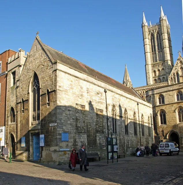
St. Mary Magdalene, Bailgate, Lincoln
Historic churches · 0.1 km

Steep Hill
Mountains & hills · 0.1 km

The Old Palace Lodge
Hotels · 0.1 km

6 and 7, Castle Hill
Historic houses · 0.1 km

Cafe Zoot
Restaurants · 0.1 km

Diocese of Lincoln
Museums · 0.1 km

Close Wall between Number 16a Minster Yard and the Deanery
Holy wells · 0.1 km
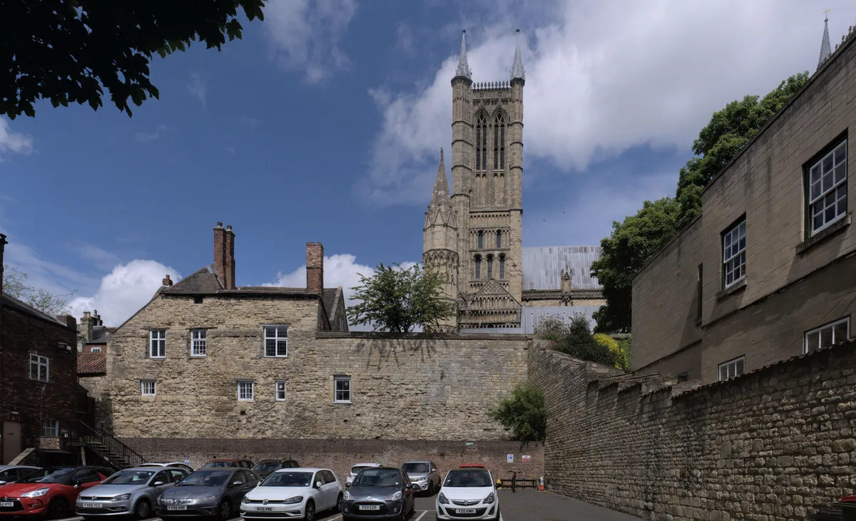
Lincoln Roman colonia (Lindum)
Archaeological sites · 0.1 km
Nearby
📷 3Holy wells · East Midlands
Close Wall To South And West Of The Deanery
Close Wall To South And West Of The Deanery — Grade I listed wall in Lincoln, Lincolnshire, England, UK.
📷 3Historic houses · East Midlands
The Deanery And Paley Flats And Adjoining Outbuildings And Stables
The Deanery And Paley Flats And Adjoining Outbuildings And Stables — a Grade I-listed historic house in england-east-midlands, United Kingdom.
📷 3Natural landmarks · East Midlands
Exchequergate
Exchequergate — a place in East Midlands, United Kingdom.
📷 5Gardens · East Midlands
Norman House
Norman House — a garden in england-east-midlands, United Kingdom.
📷 3Historic churches · East Midlands
St. Mary Magdalene, Bailgate, Lincoln
St. Mary Magdalene, Bailgate, Lincoln — Grade II listed church in Lincoln, England.
📷 5Mountains & hills · East Midlands
Steep Hill
Steep Hill — mountain in england east midlands. Elevation: 75 m.
Where to eat & stay near Lindum Colonia
Places to stay
📷 5Hotels · East Midlands
The Old Palace Lodge
The Old Palace Lodge — a hotel in england east midlands.
 📷 5
📷 5B&Bs · East Midlands
Cathedral View Guest House
Cathedral View Guest House — a bed-and-breakfast in england east midlands.
 📷 5
📷 5 📷 5
📷 5 📷 5
📷 5 📷 7
📷 7Hotels · East Midlands
DoubleTree by Hilton Lincoln
DoubleTree by Hilton Lincoln — a hotel in england east midlands. 4-star. Brand: DoubleTree.
Places to eat & drink
📷 5Restaurants · East Midlands
Cafe Zoot
Cafe Zoot — a restaurant in england east midlands.
 📷 5📷 7
 📷 5
📷 5Historic pubs · East Midlands
268, High Street
268, High Street in England East Midlands, United Kingdom.
 📷 5
📷 5Cafés · East Midlands
Madame Waffle
Madame Waffle — a café in england east midlands.
 📷 5
📷 5Cafés · East Midlands
Little Lincoln Cafe
Little Lincoln Cafe — a café in england east midlands.
More places in this region
 📷 3
📷 3Hill forts · East Midlands
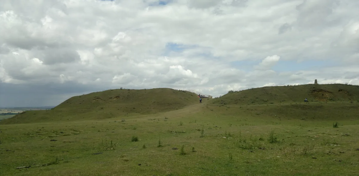
Burrough Hill
Burrough Hill — Iron Age hill fort in Leicestershire, England, UK.
 📷 5
📷 5Hill forts · East Midlands
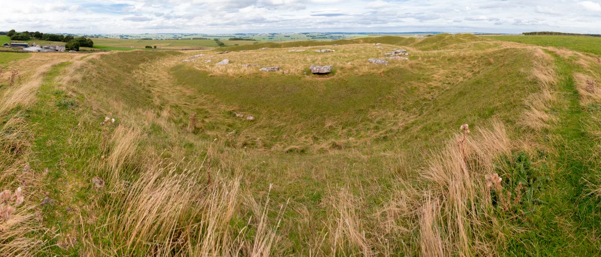
Arbor Low
Arbor Low — Neolithic henge monument.
 📷 5
📷 5Hill forts · East Midlands
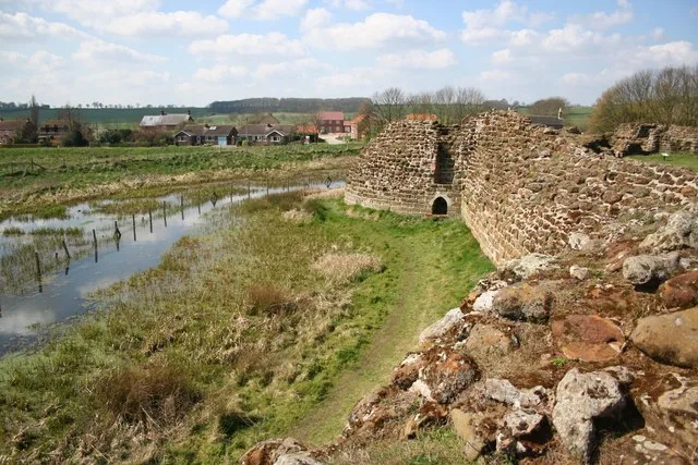
Bolingbroke Castle
Bolingbroke Castle — castle in Bolingbroke, England.
 📷 3
📷 3Hill forts · East Midlands
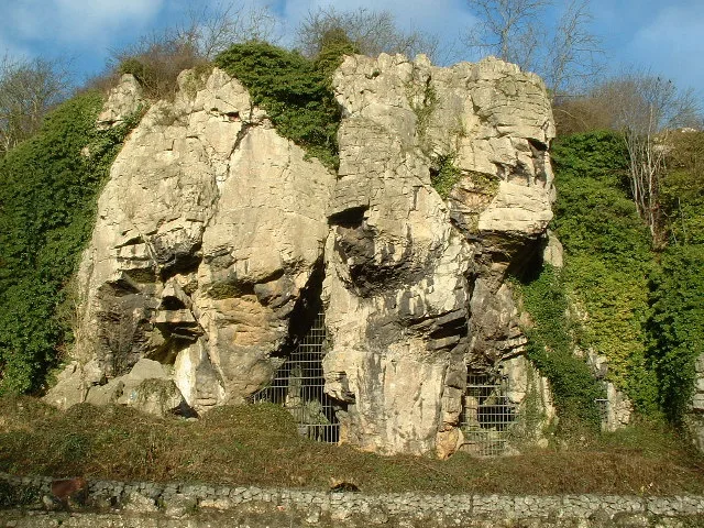
Creswell Crags
Creswell Crags — limestone gorge on the border between Derbyshire and Nottinghamshire, England.
Frequently asked questions
- Where is Lindum Colonia?
- Lindum Colonia is in Lincolnshire, the East Midlands, United Kingdom (postcode LN2 1PX), in the parish of Lincoln, unparished area.
- What is Lindum Colonia?
- Lindum Colonia — Roman settlement in Lincoln, United Kingdom.
- How do I get to Lindum Colonia?
- The nearest railway station is Lincoln, about 0.9 km away. The nearest town is Lincoln. Drivers can use postcode LN2 1PX.
- Is Lindum Colonia free to visit?
- Yes, Lindum Colonia is free to enter.
- How do I get to Lindum Colonia?
- The nearest railway station is Lincoln, about 0.9 km away. Drivers can navigate to postcode LN2 1PX.