
Archaeological sites · South Wales
Limebreach Wood
In or near Weston in Gordano.
Limebreach Wood — woodland in Somerset, England.

Wikimedia Commons licence
Plan your visit
- Typical visit
- 45 min–1.5 h
- Nearest railway station
- Nailsea and Backwell · 3.6 km
- Free entry
- Dog-friendly
Getting there & planning your visit
To visit Limebreach Wood, the nearest railway station is Nailsea and Backwell, located 3.6 km away. Entry to the site is free.
About
Limebreach Wood is an archaeological site in the United Kingdom. Wikidata describes it as: "woodland in Somerset, England". Coordinates: 51.4498°, -2.7698°.
Photo gallery
Protected designations
- Site of Special Scientific Interest: Severn Estuary SSSI
- Ramsar wetland: Severn Estuary
Designations sourced from Natural England open data under OGL v3.
From the Wikipedia article
Limebreach Wood (sometimes written as Lime Breach Wood) is a woodland on the south side of the Tickenham Ridge, between Clevedon and Bristol. It is very close to the site of Cadbury Camp. It is an ancient woodland, with a high proportion of Small-leaved Lime trees. The mushroom-forming fungi Limacella ochraceolutea is found in the wood. Part of the wood is managed as a nature reserve by Avon Wildlife Trust. The pyralid moth Salebriopsis albicilla occurs here.
Excerpt from Wikipedia under CC BY-SA 4.0. See the source article linked in Sources below.
- Coordinates
- 51.4498, -2.7698
- District
- North Somerset
- Parish
- Tickenham
- Postcode
- BS20 7SB
- Parliamentary constituency
- North Somerset
- Nearest railway station
- Nailsea and Backwell — 3.6 km
Sources
- wikidata: Q6549165 (CC0)
- wikipedia: Limebreach Wood (CC BY-SA 4.0)
Other places nearby

Glenny Wood Scout Camp Site
Campsites · 0.8 km

Clapton Court
Gardens · 0.9 km
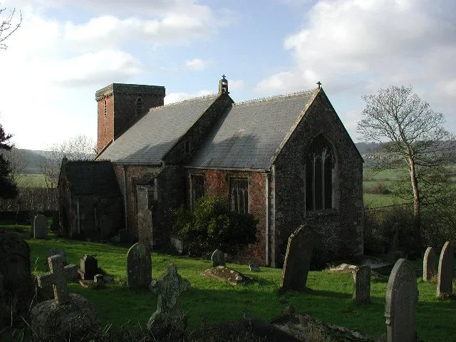
Church of St Michael, Clapton in Gordano
Historic churches · 1.0 km

Clapton Moor
Wildlife reserves · 1.1 km

Cadbury Camp
Vineyards · 1.2 km

Cadbury Camp
Archaeological sites · 1.2 km
Clapton Moor Nature Reserve
Forests & woodlands · 1.2 km
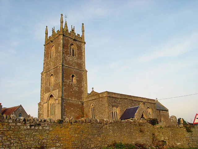
Church of SS Quiricus & Julietta, Tickenham
Historic churches · 1.4 km

Wynhol Viaduct
Historic bridges · 1.5 km
Wynhol Viaduct
Historic bridges · 1.5 km

Clapton in Gordano
Villages · 1.8 km

Ostrich;Zebra
Natural landmarks · 1.8 km
Nearby
📷 5Campsites · South Wales
Glenny Wood Scout Camp Site
Glenny Wood Scout Camp Site — a campsite in wales south.
📷 5📷 3Historic churches · South Wales
Church of St Michael, Clapton in Gordano
Church of St Michael, Clapton in Gordano — church in Clapton in Gordano, Somerset, England, UK.
📷 3Wildlife reserves · South Wales
Clapton Moor
Clapton Moor — nature reserve in Somerset, England.
📷 5Vineyards · South Wales
Cadbury Camp
Cadbury Camp — a UK vineyard in wales south, producing English or Welsh wine from cool-climate grape varieties.
📷 3Archaeological sites · South Wales
Cadbury Camp
Cadbury Camp — an archaeological site in South Wales, United Kingdom.
Where to eat & stay near Limebreach Wood
Places to stay
📷 5Campsites · South Wales
Glenny Wood Scout Camp Site
Glenny Wood Scout Camp Site — a campsite in wales south.
 📷 7
📷 7Hotels · South Wales
ibis budget Portishead Marina
ibis budget Portishead Marina — a hotel in wales south. 2-star. Brand: Ibis Budget.
 📷 5
📷 5Caravan parks · South Wales
Coast Caravan Park
Coast Caravan Park — a caravan park in wales south.
 📷 5
📷 5Caravan parks · South Wales
Colehouse Farm Caravan Park
Colehouse Farm Caravan Park — a caravan park in wales south.
 📷 5
📷 5Campsites · South Wales
Cleeve Caravan & Camping
Cleeve Caravan & Camping — a campsite in wales south.
 📷 5
📷 5Campsites · South Wales
Bullock Farm Camping
Bullock Farm Camping — a campsite in wales south.
Places to eat & drink
 📷 5
📷 5Historic pubs · South Wales
The Old Farmhouse
The Old Farmhouse in Wales South, United Kingdom.
 📷 7
📷 7 📷 5
📷 5Historic pubs · South Wales
The White Lion Public House And Section Of Former Sea Wall To North End Of West Front
The White Lion Public House And Section Of Former Sea Wall To North End Of West Front in Wales South, United Kingdom.
 📷 5
📷 5 📷 7
📷 7Restaurants · South Wales
Teatro Lounge
Teatro Lounge — a restaurant in wales south.
 📷 5
📷 5More archaeological sites in this region
 📷 3
📷 3Archaeological sites · South Wales
Coygan Cave
Coygan Cave — cave and archaeological site in the United Kingdom.
 📷 3
📷 3 📷 3
📷 3Archaeological sites · South Wales
Glasfynydd Forest
Glasfynydd Forest — forest on the boundary of Carmarthenshire and Powys, Wales, UK.
 📷 3
📷 3Archaeological sites · South Wales
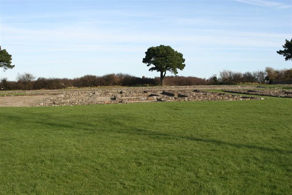
Gwersyll Rhufeinig Bargoed
Gwersyll Rhufeinig Bargoed — archaeological site in Caerphilly County Borough, Wales, UK.
Frequently asked questions
- Where is Limebreach Wood?
- Limebreach Wood is in South Wales, United Kingdom (postcode BS20 7SB), in the parish of Tickenham.
- What is Limebreach Wood?
- Limebreach Wood — woodland in Somerset, England.
- How do I get to Limebreach Wood?
- The nearest railway station is Nailsea and Backwell, about 3.6 km away. The nearest town is Weston in Gordano. Drivers can use postcode BS20 7SB.
- Who owns Limebreach Wood?
- Limebreach Wood is owned by | website =.
- Is Limebreach Wood a protected site?
- Yes — Limebreach Wood is part of the Severn Estuary SSSI Site of Special Scientific Interest and the Severn Estuary Ramsar wetland.
- Is Limebreach Wood free to visit?
- Yes, Limebreach Wood is free to enter.
- How do I get to Limebreach Wood?
- The nearest railway station is Nailsea and Backwell, about 3.6 km away. Drivers can navigate to postcode BS20 7SB.