
Caravan parks · East Midlands
Lickpenny Caravan Park
In or near Brackenfield.
Lickpenny Caravan Park — a caravan park in england east midlands.

Bill Boaden — CC BY-SA 2.0 via Wikimedia Commons licence

Plan your visit
- Typical visit
- 1 h–2 h
- Nearest railway station
- Cromford · 4.6 km
About
Lickpenny Caravan Park is a caravan park located in england east midlands. Phone: +44 1629 583 040. Address: Lickpenny Lane, Matlock, DE4 5PW.
Photo gallery
Place summary
Lickpenny Caravan Park is located in the East Midlands, postcode DE4. This caravan park offers a range of facilities for visitors looking to stay in the area. Set in a scenic environment, it provides a suitable base for exploring the surrounding countryside. Guests can expect a range of amenities typical of caravan parks, catering to both short and extended stays.
AI-generated from the structured facts on this page (operator, designation, listing, era). Not a substitute for visiting.
- Coordinates
- 53.1327, -1.4893
- County
- Derbyshire
- District
- North East Derbyshire
- Parish
- Ashover
- Postcode
- DE4 5PW
- Parliamentary constituency
- North East Derbyshire
- Phone
- +44 1629 583 040
- Nearest railway station
- Cromford — 4.6 km
- Official site
- www.lickpennycaravanpark.co.uk
Sources
- osm: w463091383 (ODbL)
Other places nearby

Blakelow Farm
Caravan parks · 1.6 km
_and_its_bell_house_-_geograph.org.uk_-_3126206.jpg?width=1200)
Ruins of Trinity Chapel
Chapels · 1.6 km

Ashover Hay
Mountains & hills · 1.8 km

Tansley
Villages · 2.0 km

Ashover Hay Primitive Methodist Chapel
Chapels · 2.1 km

Church Farm
Caravan parks · 2.1 km
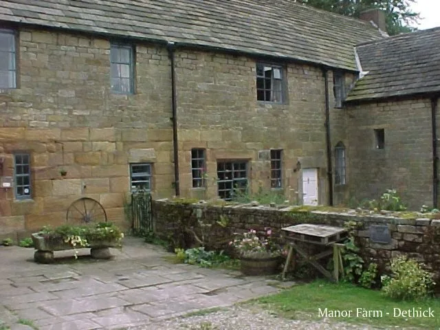
Dethick Manor
Stately homes · 2.2 km

The Miners Arms Public House
Historic pubs · 2.4 km

Road Bridge South Of Wash Farmhouse
Historic bridges · 2.5 km

Sycamore Park
Caravan parks · 2.6 km

Packhorse Farm
Caravan parks · 2.9 km

Fallgate Mill
Watermills · 2.9 km
Nearby
📷 5📷 3Chapels · East Midlands
Ruins of Trinity Chapel
Ruins of Trinity Chapel — chapel in Brackenfield, North East Derbyshire, England, UK.
📷 5Mountains & hills · East Midlands
Ashover Hay
Ashover Hay — a hill or mountain in england east midlands.
📷 5📷 4Chapels · East Midlands
Ashover Hay Primitive Methodist Chapel
Ashover Hay Primitive Methodist Chapel — Grade II listed Methodist chapel in the parish of Ashover, North East Derbyshire, England, UK.
📷 5Where to eat & stay near Lickpenny Caravan Park
Places to stay
📷 5📷 5📷 5📷 5Caravan parks · East Midlands
Packhorse Farm
Packhorse Farm — a caravan park in england east midlands.
 📷 5
📷 5 📷 5
📷 5Caravan parks · East Midlands
Broomhill Farm
Broomhill Farm — a caravan park in england east midlands.
Places to eat & drink
📷 5Historic pubs · East Midlands
The Miners Arms Public House
The Miners Arms Public House in England East Midlands, United Kingdom.
 📷 5
📷 5Historic pubs · East Midlands
The Crispin Inn
The Crispin Inn in England East Midlands, United Kingdom.
 📷 5
📷 5Historic pubs · East Midlands
Duke William Inn
Duke William Inn in England East Midlands, United Kingdom.
 📷 5
📷 5 📷 5
📷 5 📷 5
📷 5Historic pubs · East Midlands
The Black Swan Public House And Attached L Shaped Range Of Outbuildings To The North-East
The Black Swan Public House And Attached L Shaped Range Of Outbuildings To The North-East in England East Midlands, United Kingdom.
More places in this region
 📷 5
📷 5Caravan parks · East Midlands
Inglescombe Touring Park
Inglescombe Touring Park — a caravan park in england london.
 📷 5
📷 5Caravan parks · East Midlands
Tall Trees Leisure Park
Tall Trees Leisure Park — a caravan park in england london.
 📷 5
📷 5Caravan parks · East Midlands
Little Ranch
Little Ranch — a caravan park in england london.
 📷 5
📷 5Caravan parks · East Midlands
Common Right Barns
Common Right Barns — a caravan park in england london.
Frequently asked questions
- Where is Lickpenny Caravan Park?
- Lickpenny Caravan Park is in Derbyshire, the East Midlands, United Kingdom (postcode DE4 5PW), in the parish of Ashover.
- What is Lickpenny Caravan Park?
- Lickpenny Caravan Park — a caravan park in england east midlands.
- How do I get to Lickpenny Caravan Park?
- The nearest railway station is Cromford, about 4.6 km away. The nearest town is Brackenfield. Drivers can use postcode DE4 5PW.
- How do I get to Lickpenny Caravan Park?
- The nearest railway station is Cromford, about 4.6 km away. Drivers can navigate to postcode DE4 5PW.