
Follies · North West England
Pikestones
In or near Brindle.
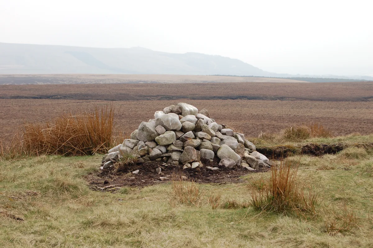
Pikestones — Historic tomb, BC 3400-2400.

Wikimedia Commons contributors — see linked file page for photographer and licence licence

Plan your visit
- Typical visit
- 20 min–45 min
- Nearest railway station
- Chorley · 4.1 km
- Free entry
- Dog-friendly
Getting there & planning your visit
To visit Pikestones, the nearest railway station is Chorley, located 4.1 km away. Entry is free, and the postcode for sat-nav is PR6 9DQ.
About
Pikestones is a folly — a piece of decorative architecture built more for the view than any practical purpose — in the United Kingdom. Wikidata describes it as: "Historic tomb, BC 3400-2400.". Coordinates: 53.6498°, -2.5656°.
Photo gallery
See it from the streetimagery from 2021
Imagery © Mapillary contributors, CC BY-SA 4.0
Official information
Pike Stones is a Neolithic chambered long cairn located in Lancashire, England. It features a low elongated mound of stone covering an internal burial chamber, and is significant for its historical and archaeological value as one of the few surviving examples of its kind in the region.
Protected designations
- Site of Special Scientific Interest: West Pennine Moors SSSI
Designations sourced from Natural England open data under OGL v3.
From the Wikipedia article
Pikestones is the remains of a Neolithic Burial Cairn, located on Anglezarke moor in Lancashire, England. The site is approximately 150 feet (45 metres) long and 60 feet (18 metres) across at its widest point. It consisted of one burial chamber constructed of large upright slabs, capped by two lintel slabs, forming a chamber of 15 feet (4.5 metres) long, 3 feet (0.9 metres) wide and 3 feet (0.9 metres) high, covered by a huge mound of stones and turves. The cairn was aligned almost exactly North-South, with the burial chamber under the wider northern end. At the northern edge of the cairn, a double wall could be made out, curving inwards to form an entrance to a forecourt. Today the cairn has been badly robbed and the main features are the five large gritstone slabs, the remains of the burial chamber. Surprisingly, evidence suggests [which evidence] that the bodies were not interred directly in the tomb, but were left outside, perhaps at the entrance to the cairn, for birds and wild animals to consume the flesh and then, probably after elaborate ceremonies, the bones were placed inside the chamber. Pikestones is the earliest man-made structure in the area and only one other chambered tomb has been found in Lancashire. The monument must have taken an immense amount of labour to construct and like most long barrows was erected in a prominent position, located on a ridge at a height of just over 900 feet (276 metres). This gave the Neolithic builders excellent views, and made the structure visible from a wide area of the Lancashire plain, perhaps warning other people that the land belonged to the builders.
Excerpt from Wikipedia under CC BY-SA 4.0. See the source article linked in Sources below.
- Coordinates
- 53.6498, -2.5656
- County
- Lancashire
- District
- Chorley
- Parish
- Anglezarke
- Postcode
- PR6 9DQ
- Parliamentary constituency
- Chorley
- Nearest railway station
- Chorley — 4.1 km
- Official site
- historicengland.org.uk
Sources
- osm: w919714427 (ODbL)
- wikipedia: Pikestones (CC BY-SA 4.0)
- commons: Pikestones.jpg (CC BY-SA 4.0)
Featured in this guide
Other places nearby
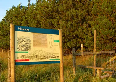
Pikestones
Hill forts · 0.0 km

Wellington Bomber Crew memorial
Memorials & monuments · 0.7 km

Lead Mines
Archaeological sites · 0.7 km
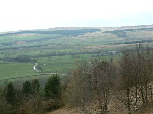
Hurst Hill
Natural landmarks · 0.8 km

Grain Pole Hill
Natural landmarks · 0.9 km
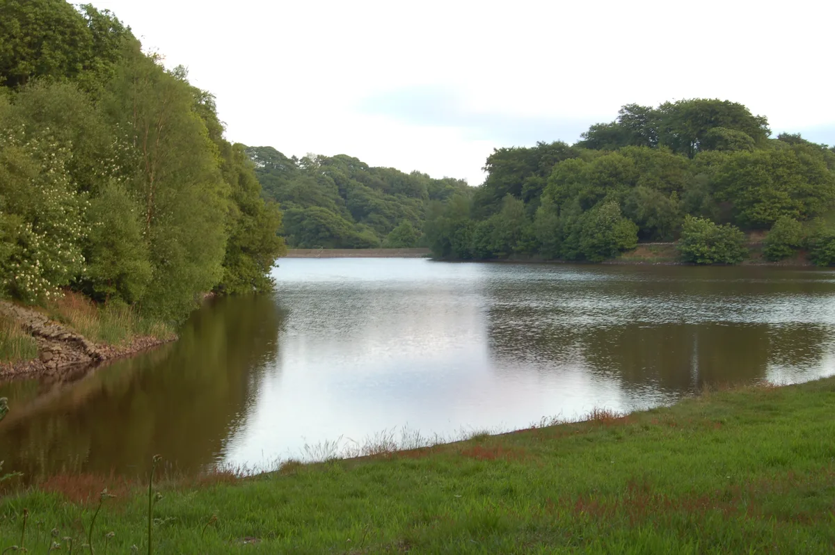
High Bullough Reservoir
Reservoirs & lochs · 0.9 km

The Viewpoint
Viewpoints · 1.1 km
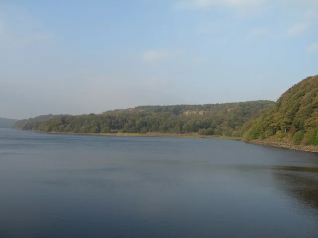
Anglezarke Reservoir
Reservoirs & lochs · 1.5 km

Round Loaf
Follies · 1.5 km

Round Loaf
Mountains & hills · 1.5 km
Round Loaf
Hill forts · 1.5 km
Yarrow Reservoir
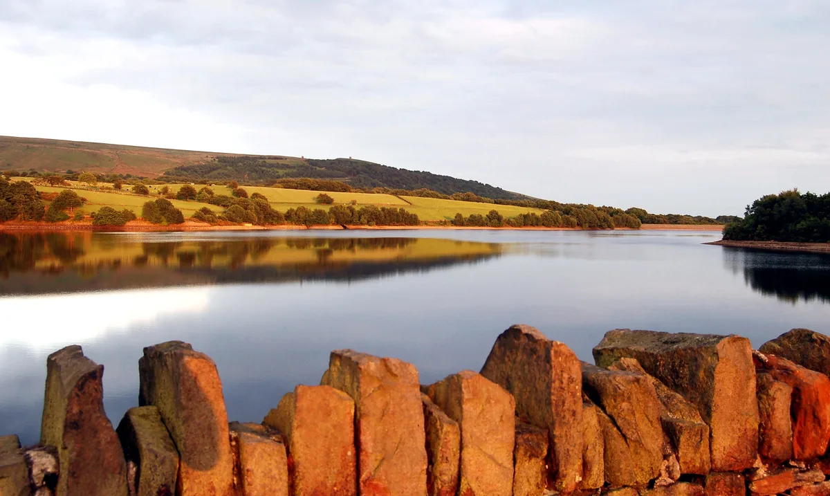
Reservoirs & lochs · 1.5 km
Nearby
📷 3Hill forts · North West England
Pikestones
Pikestones — chambered cairn in Anglezarke, Lancashire, England, UK.
📷 3Memorials & monuments · North West England
Wellington Bomber Crew memorial
Wellington Bomber Crew memorial is a memorial in the United Kingdom.
📷 3Archaeological sites · North West England
Lead Mines
Lead Mines — a archaeological in england-north-west, United Kingdom.
📷 3📷 3Natural landmarks · North West England
Grain Pole Hill
Grain Pole Hill — mountain in United Kingdom.
📷 3Reservoirs & lochs · North West England
High Bullough Reservoir
High Bullough Reservoir — reservoir in Lancashire, England, UK.
Where to eat & stay near Pikestones
Places to stay
 📷 5
📷 5Caravan parks · North West England
Wilcocks Farm Caravan Park
Wilcocks Farm Caravan Park — a caravan park in england north west.
 📷 5
📷 5Campsites · North West England
Bibbys Farm Scout Camp
Bibbys Farm Scout Camp — a campsite in england north west.
 📷 5
📷 5Campsites · North West England
Primrose Cottage Camping
Primrose Cottage Camping — a campsite in england north west.
 📷 5
📷 5Caravan parks · North West England
Home Farm Caravan Site
Home Farm Caravan Site — a caravan park in england north west.
 📷 7
📷 7Hotels · North West England
Hartwood Hall Hotel
Hartwood Hall Hotel — a hotel in england north west. 3-star. Brand: Greene King.
 📷 7
📷 7Places to eat & drink
 📷 5
📷 5 📷 7
📷 7Historic pubs · North West England
Blundell Arms
Blundell Arms in England North West, United Kingdom.
 📷 5
📷 5Historic pubs · North West England
Bradley Hall Public House
Bradley Hall Public House in England North West, United Kingdom.
 📷 7
📷 7Historic pubs · North West England
Eagle And Child Inn
Eagle And Child Inn in England North West, United Kingdom.
 📷 5
📷 5Historic pubs · North West England
Ye Olde Hob Inn
Ye Olde Hob Inn in England North West, United Kingdom.
 📷 6
📷 6Historic pubs · North West England
Royal Oak Hotel
Royal Oak Hotel in England North West, United Kingdom.
More follies in this region
 📷 5
📷 5Follies · North West England
Shinto Temple
Shinto Temple — a temple folly in england-west-midlands, United Kingdom.
 📷 3
📷 3 📷 3
📷 3 📷 3
📷 3Follies · North West England
Robin Hood’s Grave
Robin Hood’s Grave is a folly in the United Kingdom.
Frequently asked questions
- Where is Pikestones?
- Pikestones is in Lancashire, North-West England, United Kingdom (postcode PR6 9DQ), in the parish of Anglezarke.
- What is Pikestones?
- Pikestones — Historic tomb, BC 3400-2400.
- How do I get to Pikestones?
- The nearest railway station is Chorley, about 4.1 km away. Drivers can use postcode PR6 9DQ.
- Is Pikestones a protected site?
- Yes — Pikestones is part of the West Pennine Moors SSSI Site of Special Scientific Interest.
- Is Pikestones free to visit?
- Yes, Pikestones is free to enter.
- How do I get to Pikestones?
- The nearest railway station is Chorley, about 4.1 km away. Drivers can navigate to postcode PR6 9DQ.