
Historic houses · North West England
Langrigg Hall
In or near Newton Arlosh.
Langrigg Hall — house in Bromfield, Cumberland, Cumbria, England, UK.

Wikimedia Commons contributors — see linked file page for photographer and licence licence

Plan your visit
- Typical visit
- 1 h–2 h
- Nearest railway station
- Aspatria · 5.1 km
- Family-friendly
- Limited wheelchair access
Getting there & planning your visit
To visit Langrigg Hall, the nearest railway station is Aspatria, located 5.1 km away. The postcode for sat-nav is CA7 3LH. Entry has limited wheelchair accessibility.
About
Langrigg Hall is a historic house in the United Kingdom — typically a country seat, manor, or town house with notable architecture or history. Heritage designation: Grade II listed building. Wikidata describes it as: "house in Bromfield, Cumberland, Cumbria, England, UK". Coordinates: 54.8014°, -3.3015°.
Photo gallery
Protected designations
- Site of Special Scientific Interest: Upper Solway Flats & Marshes SSSI
- Area of Outstanding Natural Beauty: Solway Coast
- Ramsar wetland: Upper Solway Flats & Marshes
Designations sourced from Natural England open data under OGL v3.
From the Wikipedia article
Langrigg Hall is a country house near the village of Langrigg in Cumbria. It is a Grade II listed building.
Excerpt from Wikipedia under CC BY-SA 4.0. See the source article linked in Sources below.
Background
History
The hall was reconstructed by Thomas Bawis in the mid-18th century. John Barwis (1775–1818), who was also Rector of Niton in the Isle of Wight, was one of its prominent owners, and his son William Barwis, was still in possession of Langrigg manor in 1860. In 1876, its ownership changed to Joseph Bowerbank of Cockermouth.
Sourced from Wikipedia under CC BY-SA 4.0.
- Coordinates
- 54.8014, -3.3015
- District
- Cumberland
- Parish
- Bromfield
- Postcode
- CA7 3LH
- Parliamentary constituency
- Penrith and Solway
- Nearest railway station
- Aspatria — 5.1 km
Sources
- wikidata: Q21008666 (CC0)
- wikipedia: Langrigg Hall (CC BY-SA 4.0)
- commons: The Hall, Langrigg - geograph.org.uk - 91851.jpg (CC BY-SA 4.0)
Other places nearby

Langrigg
Villages · 0.1 km
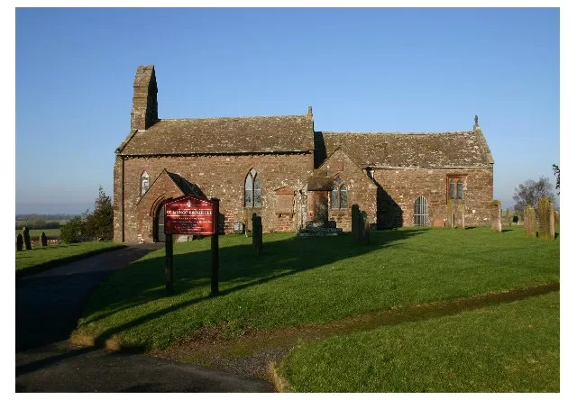
St Mungo's Church, Bromfield
Historic churches · 1.6 km

St Mungos Castle
Castles · 1.6 km

St Mungo's Castle
Castles · 1.6 km

Newton Castle
Castles · 4.0 km

Westnewton Castle
Castles · 4.0 km

Queens Hall Cinema
Theatres · 4.2 km

St Kentigern Cross
Memorials & monuments · 4.4 km
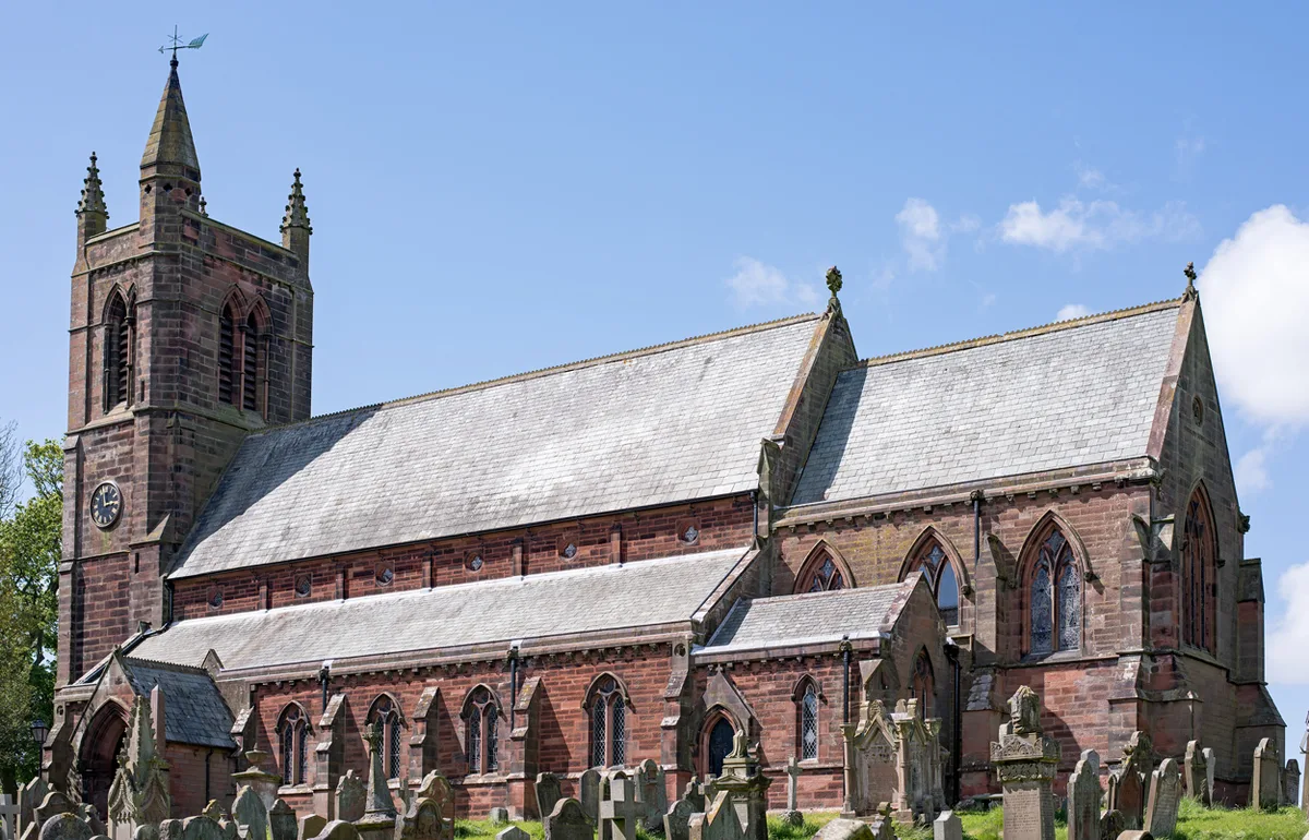
St. Kentigern's Church, Aspatria
Historic churches · 4.6 km

Aspatria
Museums · 4.6 km

War Memorial on Village Green
Memorials & monuments · 4.6 km

Mealsgate War Memorial
Memorials & monuments · 4.8 km
Nearby
📷 5📷 5Historic churches · North West England
St Mungo's Church, Bromfield
St Mungo's Church, Bromfield — church in Bromfield, Cumbria, England, UK.
📷 5📷 3Castles · North West England
St Mungo's Castle
St Mungo's Castle — scheduled monument-listed castle in scotland-lowlands, United Kingdom.
📷 5📷 3Castles · North West England
Westnewton Castle
Westnewton Castle — scheduled monument-listed castle in scotland-lowlands, United Kingdom.
Where to eat & stay near Langrigg Hall
Places to stay
 📷 3
📷 3Caravan parks · North West England
Larches Caravan Park
Larches Caravan Park — a caravan park in scotland lowlands.
 📷 5
📷 5Caravan parks · North West England
Rowanbank Caravan Park
Rowanbank Caravan Park — a caravan park in scotland lowlands.
 📷 5
📷 5Caravan parks · North West England
Tanglewood Caravan park
Tanglewood Caravan park — a caravan park in scotland lowlands.
 📷 5
📷 5Caravan parks · North West England
Heather Bank
Heather Bank — a caravan park in scotland lowlands.
 📷 5
📷 5Caravan parks · North West England
Old Kiln Farm Caravan Club
Old Kiln Farm Caravan Club — a caravan park in scotland lowlands.
 📷 5
📷 5Caravan parks · North West England
Threapland Park
Threapland Park — a caravan park in scotland lowlands.
Places to eat & drink
 📷 5
📷 5Historic pubs · North West England
Kings Arms Walter Willsons
Kings Arms Walter Willsons in Scotland Lowlands, United Kingdom.
 📷 7
📷 7Historic pubs · North West England
The Pheasant Inn
The Pheasant Inn in Scotland Lowlands, United Kingdom.
 📷 4
📷 4Historic pubs · North West England
Oddfellows Arms
Oddfellows Arms — Historic pub — listed building or notable heritage status.
 📷 7
📷 7Historic pubs · North West England
The Greyhound Inn
The Greyhound Inn in Scotland Lowlands, United Kingdom.
 📷 7
📷 7Historic pubs · North West England
Queensberry Arms Hotel
Queensberry Arms Hotel in Scotland Lowlands, United Kingdom.
 📷 5
📷 5More historic houses in this region
 📷 3
📷 3Historic houses · North West England
116 Hospital Street, Nantwich
116 Hospital Street, Nantwich — substantial townhouse in Nantwich, Cheshire, England, UK.
 📷 3
📷 3Historic houses · North West England
140–142 Hospital Street, Nantwich
140–142 Hospital Street, Nantwich — grade II listed building in Nantwich, Cheshire East, Cheshire, England, UK.
 📷 3
📷 3Historic houses · North West England
46 High Street, Nantwich
46 High Street, Nantwich — house in Nantwich, Cheshire, England, UK.
 📷 3
📷 3Historic houses · North West England
64, St Ann's Road
64, St Ann's Road — Grade II* listed house in Middlewich, Cheshire East, England, UK.
Frequently asked questions
- Where is Langrigg Hall?
- Langrigg Hall is in North-West England, United Kingdom (postcode CA7 3LH), in the parish of Bromfield.
- What is Langrigg Hall?
- Langrigg Hall — house in Bromfield, Cumberland, Cumbria, England, UK.
- How do I get to Langrigg Hall?
- The nearest railway station is Aspatria, about 5.1 km away. The nearest town is Newton Arlosh. Drivers can use postcode CA7 3LH.
- Is Langrigg Hall a listed building?
- Langrigg Hall is officially recognised as Grade II listed building listed.
- Is Langrigg Hall a protected site?
- Yes — Langrigg Hall is part of the Upper Solway Flats & Marshes SSSI Site of Special Scientific Interest and the Solway Coast National Landscape (AONB).
- How do I get to Langrigg Hall?
- The nearest railway station is Aspatria, about 5.1 km away. Drivers can navigate to postcode CA7 3LH.