Castles · Yorkshire & the Humber
Kirby Sigston
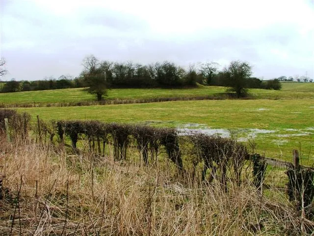
In or near Winton.
Kirby Sigston is a denucleated village and civil parish in North Yorkshire, England, approximately 4 miles (6.4 km) east of Northallerton. The parish is situated on the Cod Beck river, and also inclu

Gordon Hatton — CC BY-SA 2.0 via Wikimedia Commons licence
_-_geograph.org.uk_-_2386963.jpg)
Plan your visit
- Typical visit
- 1.5 h–3 h
- Nearest railway station
- Northallerton · 6.2 km
- Family-friendly
- Limited wheelchair access
About
Kirby Sigston is a denucleated village and civil parish in North Yorkshire, England, approximately 4 miles (6.4 km) east of Northallerton. The parish is situated on the Cod Beck river, and also includes the hamlet of Jeater Houses, east of the village on the A19 road, on the boundary with Thimbleby.
Photo gallery
From the Wikipedia article
Kirby Sigston is a denucleated village and civil parish in North Yorkshire, England, approximately 4 miles (6.4 km) east of Northallerton. The parish is situated on the Cod Beck river, and also includes the hamlet of Jeater Houses, east of the village on the A19 road, on the boundary with Thimbleby.
Excerpt from Wikipedia under CC BY-SA 4.0. See the source article linked in Sources below.
Background
History
The settlement is mentioned in the Domesday Book of 1086 as having 75 ploughlands, and its name derives from a combination of the Old Norse Kirkju-býr (a village with a church) and Sigges tūn (Sigge's farmstead or settlement). During the 14th century, the parish was part of a huge deer park and hunting area on the eastern side of what is now known as the Vale of Mowbray. A deserted medieval village (DMV) lies to the south of the church. The village has never had a shop, post office or pub, and its school, which opened in 1846 and would teach around 35 pupils, closed in 1944. From 1974 to 2023 it was part of the Hambleton District, it is now administered by the unitary North Yorkshire…
Sourced from Wikipedia under CC BY-SA 4.0.
- Coordinates
- 54.3500, -1.3500
- District
- North Yorkshire
- Parish
- Kirby Sigston
- Postcode
- DL6 3TE
- Parliamentary constituency
- Richmond and Northallerton
- Nearest railway station
- Northallerton — 6.2 km
Sources
- wikipedia: Kirby Sigston (CC BY-SA 4.0)
Other places nearby
Sigston Castle:
Castles · 0.7 km

Sigston Castle
Castles · 0.7 km

Sigston Manor
Manor houses · 0.9 km

Kirby Sigston
Villages · 0.9 km

Winton
Towns & cities · 2.0 km

Thimbleby Rough Haw Hill
Castles · 2.0 km

Landmoth Hall CAMC CL
Caravan parks · 2.4 km

Hemmel Hill
Mountains & hills · 2.5 km

Walk Mill Bridge
Historic bridges · 2.6 km
Bonfire Hill
Mountains & hills · 2.6 km

Little Beech Hill
Mountains & hills · 2.7 km
Harsley Castle
Castles · 3.0 km
Nearby
📷 3Castles · Yorkshire & the Humber
Sigston Castle:
Sigston Castle: — castle in North Yorkshire, UnitedKingdom.
📷 5📷 3Manor houses · Yorkshire & the Humber
Sigston Manor
Sigston Manor — a manor in england-yorkshire, United Kingdom.
📷 5📷 3Towns & cities · Yorkshire & the Humber
Winton
Winton — village in North Yorkshire, England, UK.
📷 5Castles · Yorkshire & the Humber
Thimbleby Rough Haw Hill
Thimbleby Rough Haw Hill — a castle in england yorkshire.
Where to eat & stay near Kirby Sigston
Places to stay
📷 5Caravan parks · Yorkshire & the Humber
Landmoth Hall CAMC CL
Landmoth Hall CAMC CL — a caravan park in england yorkshire.
 📷 4
📷 4 📷 5
📷 5Hotels · Yorkshire & the Humber
Queen Catherine Hotel
Queen Catherine Hotel — a hotel in england yorkshire.
 📷 5
📷 5 📷 7
📷 7Hotels · Yorkshire & the Humber
The Cleveland Tontine
The Cleveland Tontine — a hotel in england yorkshire.
 📷 5
📷 5Hostels · Yorkshire & the Humber
Cote Ghyll Mill Youth Hostel
Cote Ghyll Mill Youth Hostel — a hostel in england yorkshire.
Places to eat & drink
 📷 5
📷 5Historic pubs · Yorkshire & the Humber
The Three Horseshoes Inn
The Three Horseshoes Inn in England Yorkshire, United Kingdom.
 📷 5
📷 5Historic pubs · Yorkshire & the Humber
The Fleece Inn
The Fleece Inn in England Yorkshire, United Kingdom.
 📷 7
📷 7Restaurants · Yorkshire & the Humber
The Optimist
The Optimist — a restaurant in england yorkshire.
 📷 4
📷 4Historic pubs · North East England
The Horse Shoe Inn
The Horse Shoe Inn in England North East, United Kingdom.
 📷 5
📷 5 📷 5
📷 5Historic pubs · North East England
The Lord Nelson Inn
The Lord Nelson Inn in England North East, United Kingdom.
More castles in this region
 📷 5
📷 5Castles · Yorkshire & the Humber
Ashton-under-Lyne
Ashton-under-Lyne, also known simply as Ashton, is a market town in Tameside, Greater Manchester, United Kingdom. The population was 48,604 at the 2021 census. Historically a part of Lancashire, it is
 📷 5
📷 5Castles · Yorkshire & the Humber
Audenshaw
Audenshaw is a town in Tameside, Greater Manchester, England, 4.9 miles (7.9 km) east of Manchester. Historically part of Lancashire, in 2011 it had a population of 11,419. The name derives from Aldwi
 📷 5
📷 5Castles · Yorkshire & the Humber
Bramhall
Bramhall is a large village in the Metropolitan Borough of Stockport, Greater Manchester, England. It was formerly a civil parish in Cheshire. At the 2021 census, the built-up area, as defined by the
 📷 5
📷 5Castles · Yorkshire & the Humber
Bredbury
Bredbury is a town in the Metropolitan Borough of Stockport, Greater Manchester, England; it lies 8 miles (12.9 km) south-east of Manchester, 2 miles (3.2 km) east of Stockport and 3 miles (4.8 km) so
Frequently asked questions
- Where is Kirby Sigston?
- Kirby Sigston is in Yorkshire, United Kingdom (postcode DL6 3TE), in the parish of Kirby Sigston.
- What is Kirby Sigston?
- Kirby Sigston is a denucleated village and civil parish in North Yorkshire, England, approximately 4 miles (6.4 km) east of Northallerton. The parish is situated on the Cod Beck river, and also inclu
- How do I get to Kirby Sigston?
- The nearest railway station is Northallerton, about 6.2 km away. Drivers can use postcode DL6 3TE.
- Does Kirby Sigston charge admission?
- Kirby Sigston typically charges admission. Check the official site for current ticket prices and opening hours.
- How do I get to Kirby Sigston?
- The nearest railway station is Northallerton, about 6.2 km away. Drivers can navigate to postcode DL6 3TE.