
Towns & cities · Northern Ireland
Killylea
Killylea — village in County Armagh, Northern Ireland, UK.

Wikimedia Commons contributors — see linked file page for photographer and licence licence

Plan your visit
- Typical visit
- 3 h–6 h
- Free entry
- Family-friendly
- Dog-friendly
About
Killylea is a town, city, village or settlement in the United Kingdom. Address: BT60. Wikidata describes it as: "village in County Armagh, Northern Ireland, UK". Coordinates: 54.3500°, -6.7833°.
Photo gallery
From the Wikipedia article
Killylea (; from Irish Coillidh Léith 'grey forest') is a small village and townland in Northern Ireland. It is within the Armagh City and District Council area. The village is set on a hill, with St Mark's Church of Ireland, built in 1832, at its summit. The village lies to the west of County Armagh, and is close to the neighbouring counties of County Tyrone and County Monaghan which is in the Republic of Ireland. It had a population of 253 people in the 2011 census.
Excerpt from Wikipedia under CC BY-SA 4.0. See the source article linked in Sources below.
Background
History
In 1858 Killylea railway station opened, situated on the Elm Park Road. It was opened by the Ulster Railway and became part of the Great Northern Railway in 1876, offering people the chance to travel to Belfast and Dublin. Like most rural railways in Northern Ireland, it was not to last and eventually closed in 1957. The station platforms can still be seen today from the railway bridge on the Elm Park Road. In September 1887 events on the platform of Killylea railway station made it into the British House of Commons as Alexander Blane, Nationalist MP for South Armagh asked a question relating to an attack on a train by what he described as an "Orange mob". Edward King-Harman, then…
Sourced from Wikipedia under CC BY-SA 4.0.
- Coordinates
- 54.3500, -6.7833
- Postcode
- BT60
- Parliamentary constituency
- Newry and Armagh
Sources
- wikidata: Q1424634 (CC0)
- wikipedia: Killylea (CC BY-SA 4.0)
- commons: Killylea, County Armagh - geograph.org.uk - 607031.jpg (CC BY-SA 4.0)
Other places nearby

Killylea railway station
Natural landmarks · 1.2 km

Tynan and Caledon railway station
Natural landmarks · 2.7 km

Caledon
Natural landmarks · 3.2 km
Caledon Beam Engine
Historic houses · 3.3 km

Tynan Abbey
Abbeys & priories · 3.3 km
Tynan
Natural landmarks · 3.4 km
Tynan High Cross
Memorials & monuments · 3.4 km

Tynan
Villages · 3.7 km
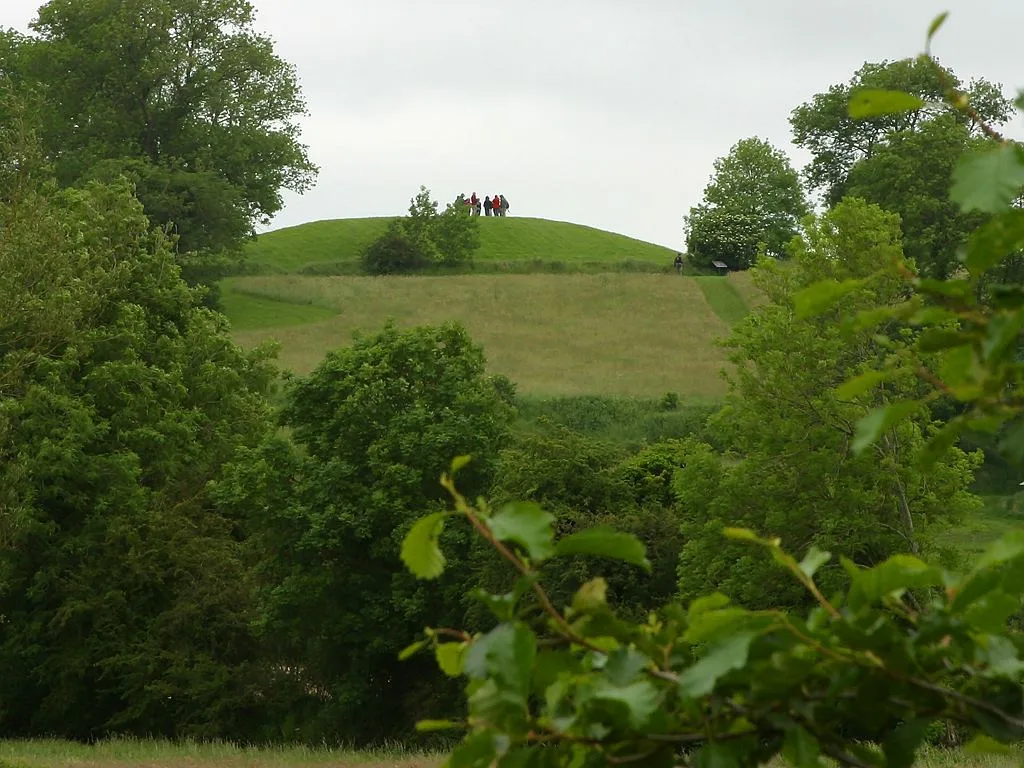
Navan Fort
Hill forts · 4.2 km

Haughey's Fort
Forts · 4.3 km
.jpg?width=1200)
Caledon House
Historic houses · 4.4 km

The King's Stables
Archaeological sites · 4.7 km
Killylea is a town in Northern Ireland offering several notable places for visitors to explore. You can discover the historic charm of Caledon House and the architectural interest of Tynan Abbey. The area also features natural landmarks such as Caledon and Tynan, providing scenic spots for leisure.
At a glance
- Constituency
- Newry and Armagh
- Top categories near here
Things to see in Killylea
10 attractions within 12 km. Full guide: things to do in Killylea →
📷 5Historic houses · Northern Ireland
Caledon House
Caledon House — house in Caledon, County Tyrone, Northern Ireland.
📷 4📷 5Natural landmarks · Northern Ireland
Tynan and Caledon railway station
Tynan and Caledon railway station in Northern Ireland, United Kingdom.
Flagship📷 3📷 5📷 5Natural landmarks · Northern Ireland
Killylea railway station
Killylea railway station in Northern Ireland, United Kingdom.
 📷 3📷 3
Historic houses · Northern Ireland
Caledon Beam Engine
Caledon Beam Engine — a historic house in northern-ireland, United Kingdom.
📷 3Memorials & monuments · Northern Ireland
Tynan High Cross
Tynan High Cross — a memorial in northern-ireland, United Kingdom.
📷 5Nearby
📷 5Natural landmarks · Northern Ireland
Killylea railway station
Killylea railway station in Northern Ireland, United Kingdom.
📷 5Natural landmarks · Northern Ireland
Tynan and Caledon railway station
Tynan and Caledon railway station in Northern Ireland, United Kingdom.
📷 5📷 3Historic houses · Northern Ireland
Caledon Beam Engine
Caledon Beam Engine — a historic house in northern-ireland, United Kingdom.
Flagship📷 3📷 4Where to eat & stay near Killylea
Places to stay
 📷 5
📷 5Caravan parks · Northern Ireland
Dungannon Park Caravan & Camping
Dungannon Park Caravan & Camping — a caravan park in northern ireland.
 📷 5
📷 5Caravan parks · Northern Ireland
Dungannon Park Caravan & Camping
Dungannon Park Caravan & Camping — a caravan park in northern ireland.
 📷 5
📷 5 📷 5
📷 5 📷 4
📷 4Caravan parks · Northern Ireland
Clare Glen Caravan Park
Clare Glen Caravan Park — a caravan park in northern ireland.
Places to eat & drink
 📷 5
📷 5More towns in this region
 Flagship📷 5
Towns & cities · Northern Ireland
Bangor
Bangor — city in Northern Ireland, United Kingdom.
 Flagship📷 5
Towns & cities · Northern Ireland
Belfast
Belfast — capital city of Northern Ireland.
 Flagship📷 3
 Flagship📷 5
Towns & cities · Northern Ireland
Lisburn
Lisburn — city in Northern Ireland.
Frequently asked questions
- Where is Killylea?
- Killylea is in Northern Ireland, United Kingdom (postcode BT60).
- What is Killylea?
- Killylea — village in County Armagh, Northern Ireland, UK.
- How do I get to Killylea?
- Drivers can use postcode BT60.
- Is Killylea free to visit?
- Yes, Killylea is free to enter.
- How do I get to Killylea?
- Drivers can navigate to postcode BT60. It sits within the Newry and Armagh parliamentary constituency.