Natural landmarks · Northern Ireland
County Armagh
Also known as: Swydd Armagh, Contae Ard Mhacha
In or near Armagh.
County Armagh in Northern Ireland, United Kingdom.

Eric Jones — CC BY-SA 2.0 via Wikimedia Commons licence
Plan your visit
- Typical visit
- 1 h–2 h
- Free entry
- Dog-friendly
About
County Armagh is a place of interest in Northern Ireland, United Kingdom — drawn from open-data sources for visitor reference. See the linked Wikipedia article for the full description.
Photo gallery
Official information
Armagh County Museum is the oldest county museum in Ireland, located in the heart of Armagh city. It showcases a variety of collections that reflect the rich history and culture of the orchard county.
From the Wikipedia article
County Armagh (Irish: Contae Ard Mhacha [ˌaːɾˠd̪ˠ ˈwaxə]) is one of the six counties of Northern Ireland and one of the traditional thirty-two counties of Ireland. It is located in the province of Ulster and adjoins the southern shore of Lough Neagh. It borders the Northern Irish counties of Tyrone to the west and Down to the east. The county borders Louth and Monaghan to the south and southwest, which are in the Republic of Ireland. It is named after its county town, Armagh, which derives from the Irish Ard Mhacha, meaning "Macha's height". Macha was a sovereignty goddess in Irish mythology and is said to have been buried on a wooded hill around which the town of Armagh grew. County Armagh is colloquially known as the "Orchard County" because of its many apple orchards. The county covers an area of 1,327 km2 (512 mi2), making it the smallest of Northern Ireland's six counties by size and the sixth-smallest county on the island of Ireland. With a population of 194,394 as of the 2021 census, it is the fourth-most populous county in both Northern Ireland and Ulster. It is the 10th most populous of Ireland's 32 traditional counties, as well as the fifth-most densely populated. In addition to the city of Armagh and the western portion of the city of Newry, notable towns in the county include Lurgan, Portadown and Craigavon.
Excerpt from Wikipedia under CC BY-SA 4.0. See the source article linked in Sources below.
Background
History
Ancient Armagh was the territory of the Ulaid (also known as Voluntii, Ultonians, Ulidians, Ulstermen) before the fourth century AD. It was ruled by the Red Branch, whose capital was Emain Macha (or Navan Fort) near Armagh. The site, and subsequently the city, were named after the goddess Macha. The Red Branch play an important role in the Ulster Cycle, as well as the Cattle Raid of Cooley. However, they were eventually driven out of the area by the Three Collas, who invaded in the 4th century and held power until the 12th. The Clan Colla ruled the area known as Airghialla or Oriel for these 800 years. The chief Irish clans of the county were descendants of the Collas, the O'Hanlons and Mac…
Description
The southern part of the county has been a stronghold of support for the Provisional IRA, earning it the nickname "Bandit Country". South Armagh is predominantly nationalist, with much of the population being opposed to any form of British presence, especially that of a military nature. The most prominent opposition to British rule was the Provisional IRA South Armagh Brigade. On 10 March 2009, the Continuity Irish Republican Army (CIRA), a republican paramilitary group that emerged from a split in the Provisional IRA, claimed responsibility for the fatal shooting of a PSNI officer in Craigavon, County Armagh—the first police fatality in Northern Ireland since 1998. The officer was fatally…
Sourced from Wikipedia under CC BY-SA 4.0.
- Coordinates
- 54.3500, -6.6500
- Postcode
- BT61 9AX
- Parliamentary constituency
- Newry and Armagh
- Official site
- visitarmagh.com
Sources
- wikidata: Q192761 (CC0)
- wikipedia: County Armagh (CC BY-SA 4.0)
Other places nearby
.jpg?width=1200)
1 Charlemont Place
Historic houses · 0.0 km
Charlemont Place, Armagh
Natural landmarks · 0.0 km
Armagh County Museum
Museums · 0.1 km
Boer War memorial
Memorials & monuments · 0.1 km
Crimean Cannon
Memorials & monuments · 0.1 km

Royal Irish Fusiliers Museum
Museums · 0.1 km

War memorial
Memorials & monuments · 0.1 km

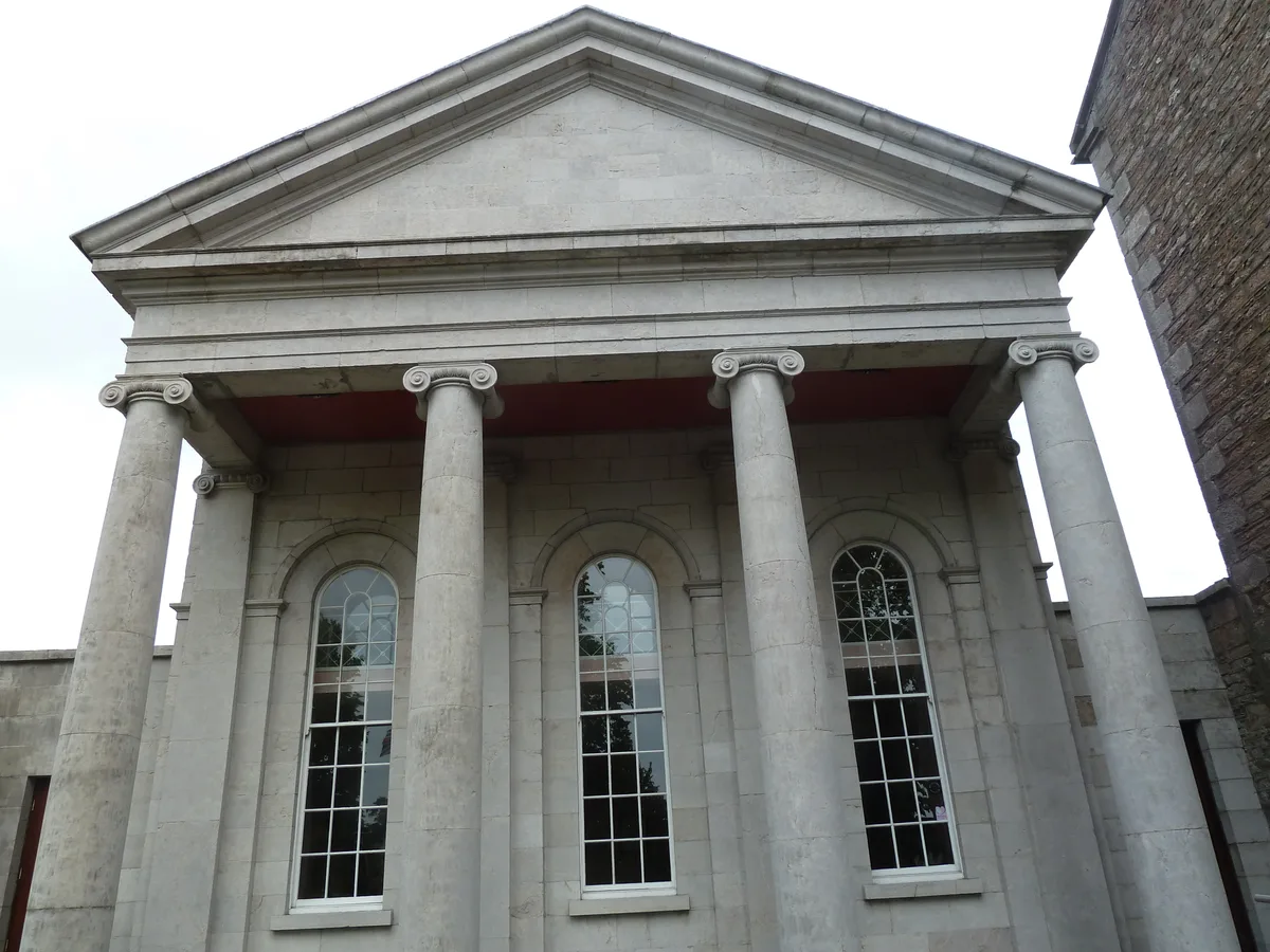
Armagh Courthouse
Natural landmarks · 0.2 km

The Mall, Armagh
Natural landmarks · 0.2 km

Armagh Planetarium
Observatories · 0.2 km
The Royal School, Armagh
Natural landmarks · 0.3 km

Armagh Rail Disaster Memorial Sculpture
Public art & sculpture · 0.3 km
Nearby
📷 3Historic houses · Northern Ireland
1 Charlemont Place
1 Charlemont Place — house in Armagh, County Armagh, Northern Ireland.
📷 4Natural landmarks · Northern Ireland
Charlemont Place, Armagh
Charlemont Place, Armagh in Northern Ireland, United Kingdom.
📷 3Museums · Northern Ireland
Armagh County Museum
Armagh County Museum — historical museum in Armagh, Northern Ireland, United Kingdom.
📷 4Memorials & monuments · Northern Ireland
Boer War memorial
Boer War memorial is a memorial in the United Kingdom.
📷 3Memorials & monuments · Northern Ireland
Crimean Cannon
Crimean Cannon — a memorial in northern-ireland, United Kingdom.
📷 4Museums · Northern Ireland
Royal Irish Fusiliers Museum
Royal Irish Fusiliers Museum in Northern Ireland, United Kingdom.
Where to eat & stay near County Armagh
Places to stay
 📷 5
📷 5 📷 5
📷 5 📷 4
📷 4Caravan parks · Northern Ireland
Clare Glen Caravan Park
Clare Glen Caravan Park — a caravan park in northern ireland.
 📷 5
📷 5Caravan parks · Northern Ireland
Dungannon Park Caravan & Camping
Dungannon Park Caravan & Camping — a caravan park in northern ireland.
 📷 5
📷 5Caravan parks · Northern Ireland
Dungannon Park Caravan & Camping
Dungannon Park Caravan & Camping — a caravan park in northern ireland.
 📷 5
📷 5Caravan parks · Northern Ireland
Kinnego Marina Camping & Caravanning
Kinnego Marina Camping & Caravanning — a caravan park in northern ireland.
Places to eat & drink
 📷 5
📷 5More natural landmarks in this region
 Flagship📷 4
Natural landmarks · Northern Ireland
Lough Erne
Lough Erne — lake in County Fermanagh, Northern Ireland, UK.
 Flagship📷 4
Natural landmarks · Northern Ireland
Lough Neagh
Lough Neagh — large lake in Northern Ireland.
 📷 3
📷 3Natural landmarks · Northern Ireland
Ballysaggart Lough
Ballysaggart Lough — lake in the United Kingdom.
 📷 5
📷 5Natural landmarks · Northern Ireland
Belmore Mountain
Belmore Mountain — mountain in the United Kingdom.
Frequently asked questions
- Where is County Armagh?
- County Armagh is in Northern Ireland, United Kingdom (postcode BT61 9AX).
- What is County Armagh?
- County Armagh in Northern Ireland, United Kingdom.
- How do I get to County Armagh?
- Drivers can use postcode BT61 9AX.
- Is County Armagh free to visit?
- Yes, County Armagh is free to enter.
- How do I get to County Armagh?
- Drivers can navigate to postcode BT61 9AX. It sits within the Newry and Armagh parliamentary constituency.