Reservoirs & lochs · North West England
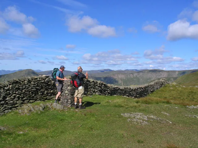
Kentmere Reservoir
In or near Kentmere.
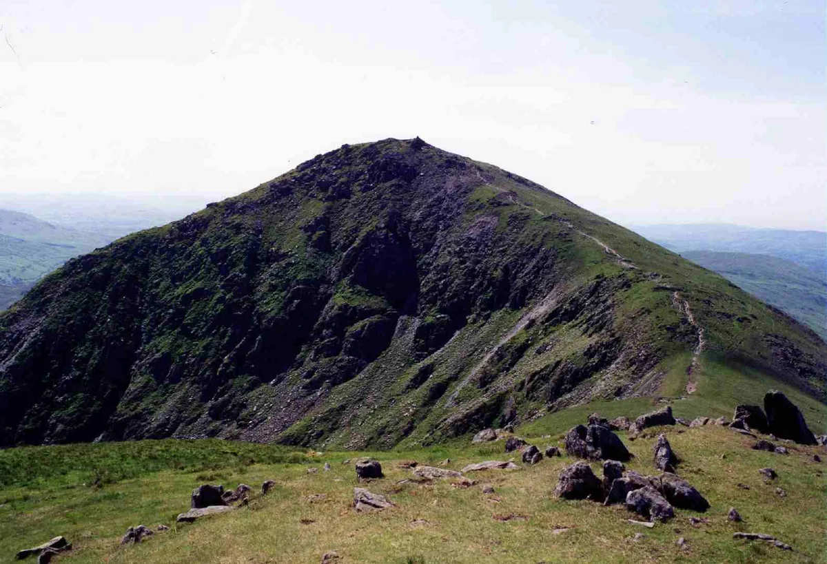
Kentmere Reservoir — lake in the United Kingdom.

Wikimedia Commons contributors — see linked file page for photographer and licence licence
Plan your visit
- Typical visit
- 1 h–2.5 h
- Nearest railway station
- Windermere · 10.0 km
- Free entry
- Dog-friendly
Getting there & planning your visit
To visit Kentmere Reservoir, the nearest railway station is Windermere, located 10 km away. Entry to the reservoir is free.
About
Kentmere Reservoir is a reservoir in the United Kingdom. Wikidata describes it as: "lake in the United Kingdom". Coordinates: 54.4650°, -2.8575°.
Photo gallery
Protected designations
- Site of Special Scientific Interest: River Eden and Tributaries SSSI
Designations sourced from Natural England open data under OGL v3.
From the Wikipedia article
Kentmere Reservoir is a water storage facility situated in the Kentmere valley in the county of Cumbria, England. It is located 10.5 kilometres (6.5 mi) north-northeast of the town of Windermere. The reservoir is fed by the streams which form the headwaters of the River Kent which rise 1.5 kilometres (0.93 mi) to the north in Hall Cove on the southern slopes of a mountainous ridge called High Street, which is named after the nearby Roman road. It is also fed by Lingmell Gill, which drains the large corrie on the western side of Harter Fell beneath the Nan Bield Pass. After Kentmere Tarn was drained to provide agricultural land in the 1840s, water supply to the mills further downstream became erratic, and the mill owners met to plan a reservoir to regulate the flow. They employed the water engineer John Frederick Bateman to advise, and the Kendal Reservoirs Act 1845 authorised five reservoirs. Despite Bateman's preference for the reservoir at Skeggles Water, the millers opted to build that at Kentmere Head, which was completed in 1848, but cost a lot more than estimated. Millers paid for the water based on the drop in river level at their mill, with small mills exempt from charges. Soon after its completion, cheap coal became available, as railways arrived in the area, and the number of mills using water power steadily declined. This process was exacerbated by the Water Resources Act 1963, under which the Lancashire River Authority levied prohibitive charges for using water to generate power. The use of water power effectively ceased in 1972, with James Cropper becoming the owner of the reservoir, as the paper mills at Burneside were the last user of water from the reservoir. By 1995 there were serious problems with the dam, and there was talk of breaching the dam, so that it would no longer be subject to the provisions of the Reservoirs (Safety Provisions) Act 1930 (20 & 21 Geo. 5. c. 51). However, there was public outcry, because the reservoir is in an area of…
Excerpt from Wikipedia under CC BY-SA 4.0. See the source article linked in Sources below.
Background
History
Prior to 1800 most of the land around Kentmere was unenclosed common land, but at that time farms began to be bought by wealthy people from outside the area. They set about enclosing the land and improving the farms that they now owned. Lime from a quarry located above Kentmere Hall was used to condition the soil, and field drains were added to make the land more suitable for agriculture. The Wilsons, who owned Kentmere Hall, drained Kentmere Tarn in the 1830s, hoping that the reclaimed land would be of good quality. However, these alterations to the landscape had unexpected consequences for the mill owners further downstream who relied on the steady flow of the River Kent to maintain their…
Sourced from Wikipedia under CC BY-SA 4.0.
- Coordinates
- 54.4650, -2.8575
- Address
- Kentmere, Cumbria
- Nearest railway station
- Windermere — 10 km
Sources
- wikidata: Q1739066 (CC0)
- wikipedia: Kentmere Reservoir (CC BY-SA 4.0)
- commons: Kentmere Reservoir from Froswick.jpg (CC BY-SA 4.0)
Other places nearby
Ill Bell
Mountains & hills · 0.9 km
Froswick
Mountains & hills · 1.1 km

Froswick
Natural landmarks · 1.1 km

Lingmell End
Mountains & hills · 1.1 km
Yoke
Mountains & hills · 1.5 km

The Knowe
Mountains & hills · 1.6 km

Brown Howe
Mountains & hills · 1.7 km

Harter Fell (Mardale)
Mountains & hills · 1.9 km

Harter Fell
Natural landmarks · 1.9 km
Harter Fell
Mountains & hills · 1.9 km

Kentmere Pike
Natural landmarks · 2.0 km
Kentmere Pike
Mountains & hills · 2.1 km
Nearby
📷 3📷 3📷 3📷 5Mountains & hills · North West England
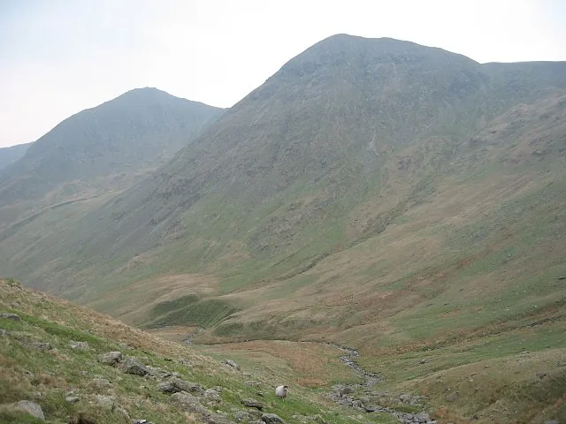
Lingmell End
Lingmell End — mountain in england north west. Elevation: 670 m.
📷 3📷 5Mountains & hills · North West England
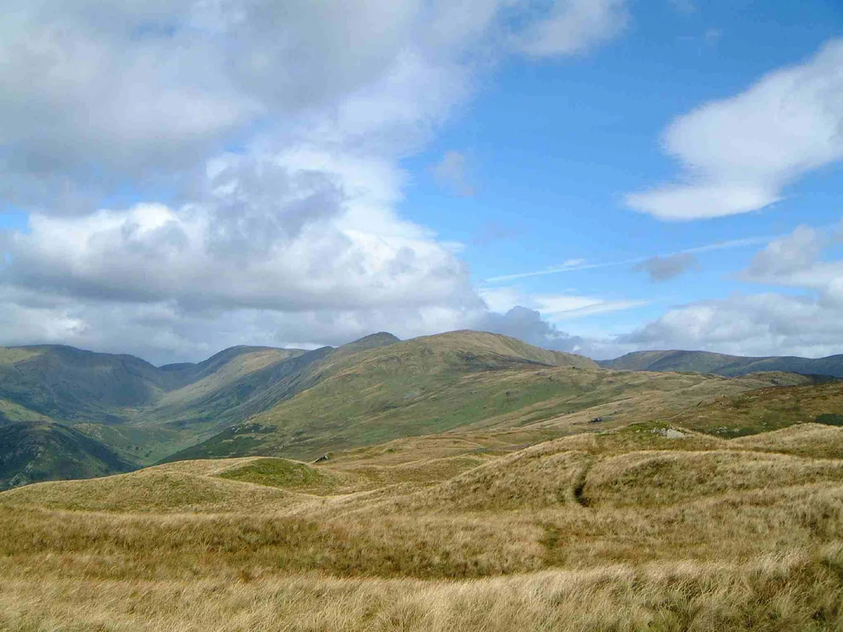
The Knowe
The Knowe — mountain in england north west. Elevation: 764.7 m.
Where to eat & stay near Kentmere Reservoir
Places to stay
 📷 5
📷 5Caravan parks · North West England
Limefitt Holiday Park
Limefitt Holiday Park — a caravan park in england north west. Brand: Parkdean Resorts.
 📷 5
📷 5Campsites · North West England
Sykeside Camping Site
Sykeside Camping Site — a campsite in england north west.
 📷 5
📷 5 📷 5
📷 5Caravan parks · North West England
Hartsop Fold Holiday Lodges
Hartsop Fold Holiday Lodges — a caravan park in england north east.
 📷 3
📷 3Caravan parks · North West England
High Borrans Lodges
High Borrans Lodges — a caravan park in england north west.
 📷 5
📷 5B&Bs · North West England
Deepdale Hall B&B
Deepdale Hall B&B — a bed-and-breakfast in england north east.
Places to eat & drink
 📷 5
📷 5Historic pubs · North West England
Golden Rule Hotel
Golden Rule Hotel in England North West, United Kingdom.
 📷 4
📷 4Restaurants · North West England
Holbeck Ghyll
Holbeck Ghyll is a restaurant located in Windermere, Cumbria, England. "The late 19th century building was once Lord Lonsdale's hunting lodge and only became a hotel in the 1970s. It won a Michelin st
 📷 5
📷 5Restaurants · North West England
Holbeck Ghyll Restaurant
Holbeck Ghyll Restaurant — a restaurant in england north west.
📷 5Historic pubs · North West England
Holbeck Ghyll
Holbeck Ghyll in England North West, United Kingdom.
 📷 7
📷 7Historic pubs · North West England
The Travellers Rest
The Travellers Rest in England North West, United Kingdom.
 📷 7
📷 7Historic pubs · North West England
Hole in t'Wall public house, With Attached Buildings To South
Hole in t'Wall public house, With Attached Buildings To South in England North West, United Kingdom.
More places in this region
 Flagship📷 5
Reservoirs & lochs · North West England
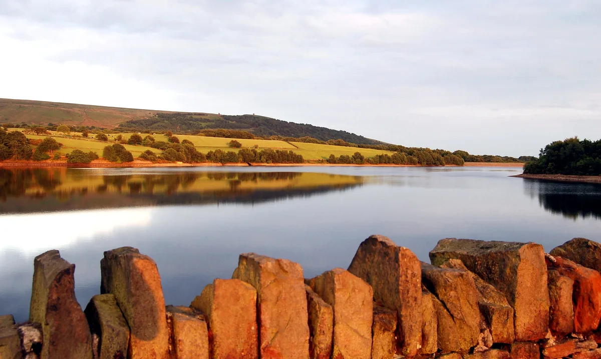
Yarrow Reservoir
Yarrow Reservoir — reservoir in Lancashire, England, UK.
.jpg?width=1200) 📷 3
📷 3Reservoirs & lochs · North West England
Abbey Village Reservoir
Abbey Village Reservoir — reservoir in Lancashire, England, UK.
 📷 3
📷 3Reservoirs & lochs · North West England
Anglezarke Reservoir
Anglezarke Reservoir — reservoir in Lancashire, England, UK.
 📷 3
📷 3Reservoirs & lochs · North West England
Ashworth Moor Reservoir
Ashworth Moor Reservoir — reservoir in Greater Manchester, England, UK.
Frequently asked questions
- Where is Kentmere Reservoir?
- Kentmere Reservoir is in North-West England, United Kingdom.
- What is Kentmere Reservoir?
- Kentmere Reservoir — lake in the United Kingdom.
- How do I get to Kentmere Reservoir?
- The nearest railway station is Windermere, about 10.0 km away. Its coordinates are 54.4650°, -2.8575°.
- Is Kentmere Reservoir a protected site?
- Yes — Kentmere Reservoir is part of the River Eden and Tributaries SSSI Site of Special Scientific Interest.
- Is Kentmere Reservoir free to visit?
- Yes, Kentmere Reservoir is free to enter.