Mountains & hills · North West England
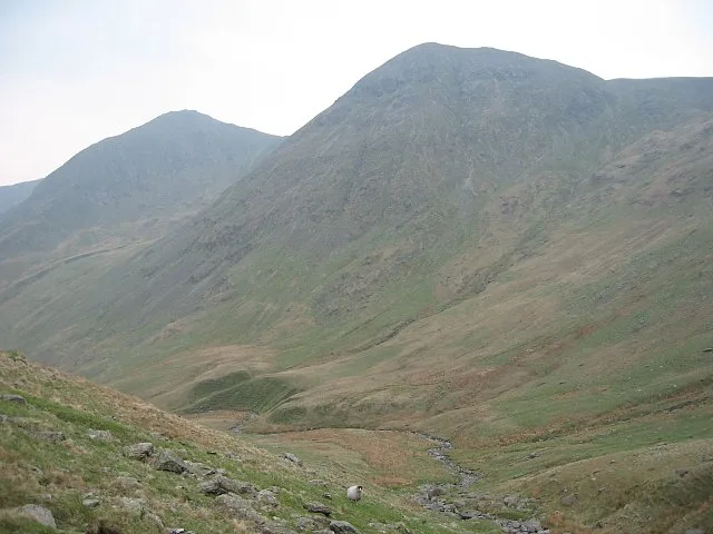
Ill Bell
In or near Kentmere.
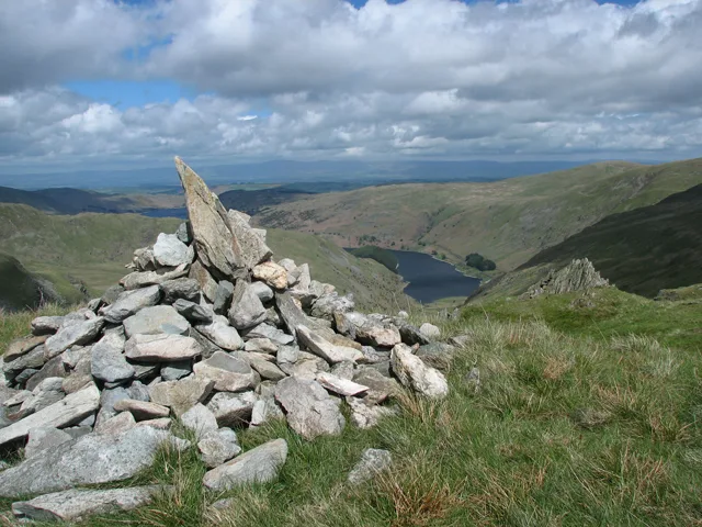
Ill Bell — Named summit at 757 m.

Wikimedia Commons contributors — see linked file page for photographer and licence licence
Plan your visit
- Typical visit
- 3 h–8 h
- Best time of year
- Late spring – early autumn (May–Oct)
- Nearest railway station
- Windermere · 9.4 km
- Free entry
- Dog-friendly
About
Ill Bell is a named summit in the United Kingdom. Wikidata describes it as: "Named summit at 757 m.". Coordinates: 54.4620°, -2.8709°.
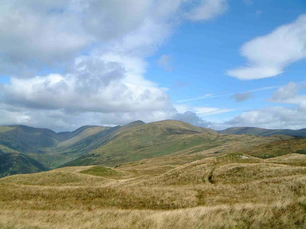
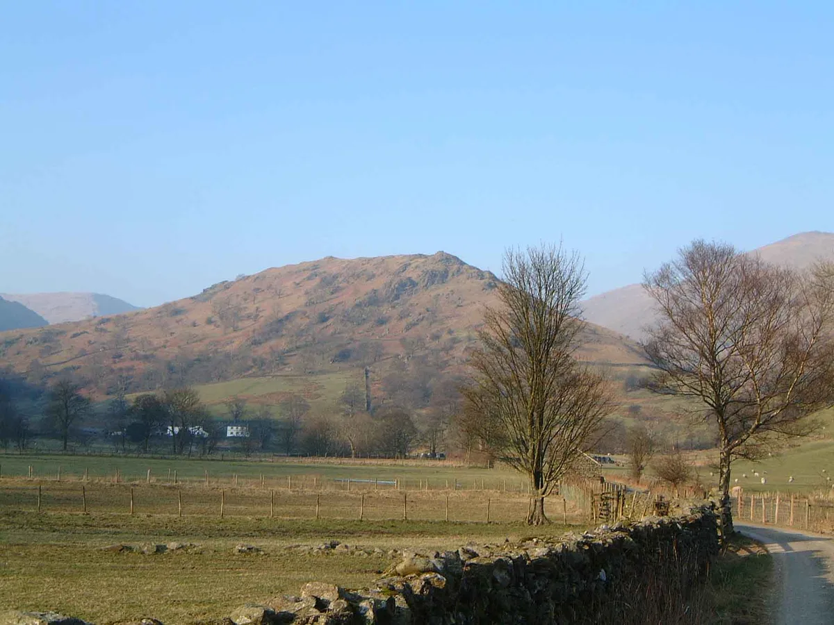
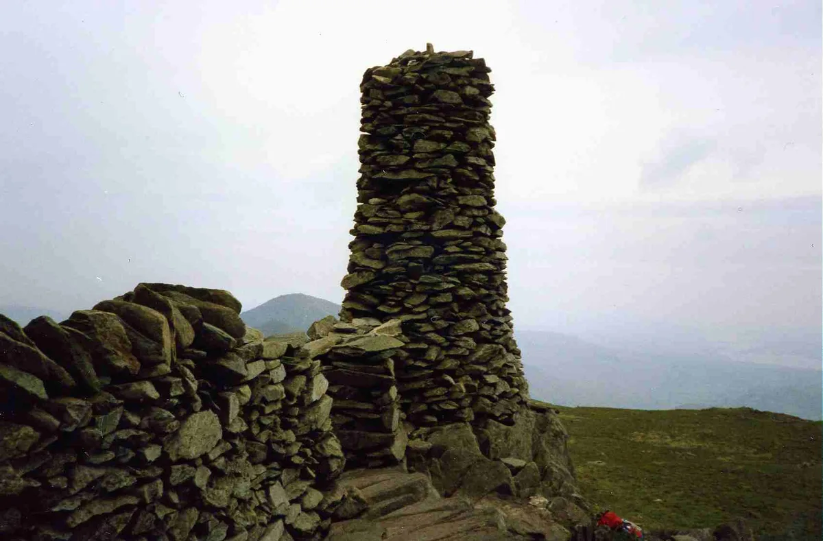
Photo gallery
360° viewimagery from 2022
Imagery © Mapillary contributors, CC BY-SA 4.0
Protected designations
- Site of Special Scientific Interest: Troutbeck SSSI
- Site of Special Scientific Interest: River Eden and Tributaries SSSI
Designations sourced from Natural England open data under OGL v3.
From the Wikipedia article
Ill Bell is a fell in the English Lake District, in the county of Cumbria, standing on the narrow ridge between the valleys of Kentmere and Troutbeck.
Excerpt from Wikipedia under CC BY-SA 4.0. See the source article linked in Sources below.
- Coordinates
- 54.4620, -2.8709
- Address
- Cumbria, England
- Nearest railway station
- Windermere — 9.4 km
Sources
- osm: n29018477 (ODbL)
- wikipedia: Ill Bell (CC BY-SA 4.0)
- commons: Ill Bell from Froswick.jpg (CC BY-SA 4.0)
Other places nearby

Froswick
Natural landmarks · 0.8 km
Froswick
Mountains & hills · 0.8 km

Kentmere Reservoir
Reservoirs & lochs · 0.9 km
Yoke
Mountains & hills · 1.0 km

Lingmell End
Mountains & hills · 1.7 km

The Tongue
Mountains & hills · 1.9 km
Troutbeck Tongue
Mountains & hills · 1.9 km

Thornthwaite Crag
Mountains & hills · 2.3 km
Thornthwaite Crag
Natural landmarks · 2.4 km

The Knowe
Mountains & hills · 2.5 km

Brown Howe
Mountains & hills · 2.6 km
Mardale Ill Bell
Mountains & hills · 2.6 km
Nearby
📷 3📷 3📷 3Reservoirs & lochs · North West England
Kentmere Reservoir
Kentmere Reservoir — lake in the United Kingdom.
📷 3📷 5Mountains & hills · North West England
Lingmell End
Lingmell End — mountain in england north west. Elevation: 670 m.
📷 5Mountains & hills · North West England
The Tongue
The Tongue — a hill or mountain in england north west.
Where to eat & stay near Ill Bell
Places to stay
 📷 5
📷 5Caravan parks · North West England
Limefitt Holiday Park
Limefitt Holiday Park — a caravan park in england north west. Brand: Parkdean Resorts.
 📷 5
📷 5Campsites · North West England
Sykeside Camping Site
Sykeside Camping Site — a campsite in england north west.
 📷 5
📷 5 📷 5
📷 5Caravan parks · North West England
Hartsop Fold Holiday Lodges
Hartsop Fold Holiday Lodges — a caravan park in england north east.
 📷 3
📷 3Caravan parks · North West England
High Borrans Lodges
High Borrans Lodges — a caravan park in england north west.
 📷 5
📷 5Hostels · North West England
Ambleside Backpackers
Ambleside Backpackers — a hostel in england north west.
Places to eat & drink
 📷 5
📷 5Historic pubs · North West England
Golden Rule Hotel
Golden Rule Hotel in England North West, United Kingdom.
 📷 4
📷 4Restaurants · North West England
Holbeck Ghyll
Holbeck Ghyll is a restaurant located in Windermere, Cumbria, England. "The late 19th century building was once Lord Lonsdale's hunting lodge and only became a hotel in the 1970s. It won a Michelin st
 📷 5
📷 5Restaurants · North West England
Holbeck Ghyll Restaurant
Holbeck Ghyll Restaurant — a restaurant in england north west.
📷 5Historic pubs · North West England
Holbeck Ghyll
Holbeck Ghyll in England North West, United Kingdom.
 📷 7
📷 7Historic pubs · North West England
The Travellers Rest
The Travellers Rest in England North West, United Kingdom.
 📷 7
📷 7Historic pubs · North West England
Hole in t'Wall public house, With Attached Buildings To South
Hole in t'Wall public house, With Attached Buildings To South in England North West, United Kingdom.
More mountains in this region
 📷 5
📷 5Mountains & hills · North West England
Appleton Park
Appleton Park — a hill or mountain in england west midlands.
 📷 5
📷 5Mountains & hills · North West England
High Warren
High Warren — mountain in england west midlands. Elevation: 105 m.
 📷 5
📷 5Mountains & hills · North West England
Alderley Edge
Alderley Edge — mountain in england west midlands. Elevation: 194 m.
 📷 3
📷 3Frequently asked questions
- Where is Ill Bell?
- Ill Bell is in North-West England, United Kingdom.
- What is Ill Bell?
- Ill Bell — Named summit at 757 m.
- How do I get to Ill Bell?
- The nearest railway station is Windermere, about 9.4 km away. Its coordinates are 54.4620°, -2.8709°.
- Is Ill Bell a protected site?
- Yes — Ill Bell is part of the Troutbeck SSSI Site of Special Scientific Interest and the River Eden and Tributaries SSSI Site of Special Scientific Interest.
- Is Ill Bell free to visit?
- Yes, Ill Bell is free to enter.