Towns & cities · North West England
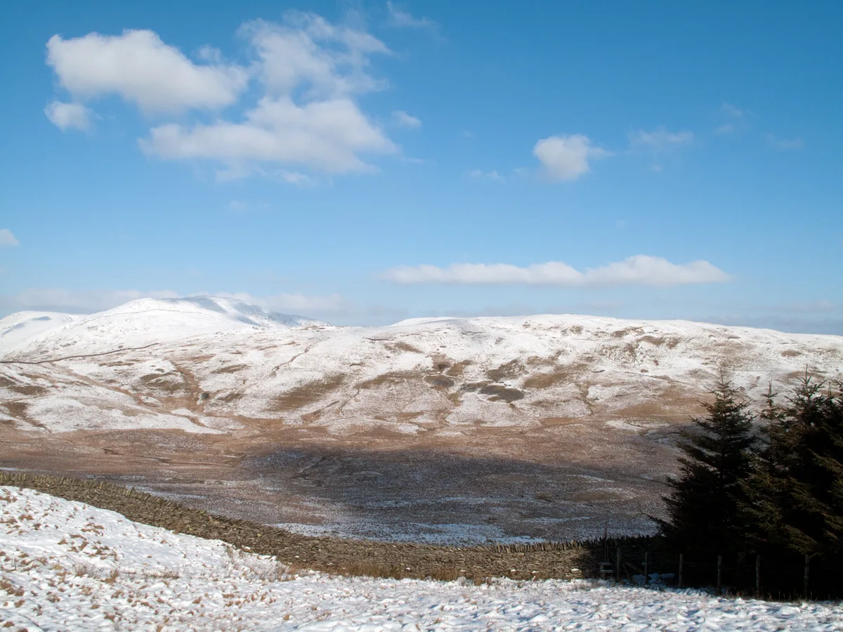
Kentmere
Kentmere — village and civil parish in Cumbria, UK.

Wikimedia Commons contributors — see linked file page for photographer and licence licence
Plan your visit
- Typical visit
- 3 h–6 h
- Nearest railway station
- Staveley · 6.1 km
- Free entry
- Family-friendly
- Dog-friendly
About
Kentmere is a town, city, village or settlement in the United Kingdom. Recent population estimates put it at around 83 people. Address: LA8. Wikidata describes it as: "village and civil parish in Cumbria, UK". Coordinates: 54.4290°, -2.8400°.
Photo gallery
Protected designations
- Site of Special Scientific Interest: River Kent and Tributaries SSSI
- Site of Special Scientific Interest: River Eden and Tributaries SSSI
Designations sourced from Natural England open data under OGL v3.
From the Wikipedia article
Kentmere is a valley, village and civil parish in the Lake District National Park, a few miles from Kendal in the Westmorland and Furness district of Cumbria, England. Historically in Westmorland, at the 2011 census Kentmere had a population of 159. The current lord of the manor is American philanthropist Terry A. Perkins.
Excerpt from Wikipedia under CC BY-SA 4.0. See the source article linked in Sources below.
Background
Description
The valley is famous for the Gilpin family who were given the valley and much surrounding land after an act of bravery by a member of the court of King John. According to legend, around the time of the signing of the Magna Carta Richard de Gilpin, known as "Richard the Rider" accompanied the Baron of Kendal to Runnymede as his secretary because the Baron himself was unable to read or write. After their return, Richard achieved renown for killing the Wild Boar of Westmorland a ferocious animal that had been terrorising the local villages. As a reward for his bravery, the Baron gave him the land in and around Kentmere, about 4,000 acres (16 km²), described as "a breezy tract of pasture land"…
Sourced from Wikipedia under CC BY-SA 4.0.
- Coordinates
- 54.4290, -2.8400
- District
- Westmorland and Furness
- Parish
- Kentmere
- Postcode
- LA8
- Parliamentary constituency
- Westmorland and Lonsdale
- Population
- 83
- Nearest railway station
- Staveley — 6.1 km
Sources
- wikidata: Q1024024 (CC0)
- wikipedia: Kentmere (CC BY-SA 4.0)
- commons: Green Quarter.jpg (CC BY-SA 4.0)
Other places nearby
Loading nearby places…
Nearby
 📷 5
📷 5Historic churches · North West England
St Cuthbert's Church, Kentmere
St Cuthbert's Church, Kentmere is a Grade II listed parish church in the Church of England in Kentmere, Cumbria. Its benefice is united with that of St Martin's Church, Bowness-on-Windermere; St Anne'
 📷 3
📷 3Archaeological sites · North West England
Borrans
Borrans — a archaeological in england-north-west, United Kingdom.
 📷 5
📷 5Mountains & hills · North West England
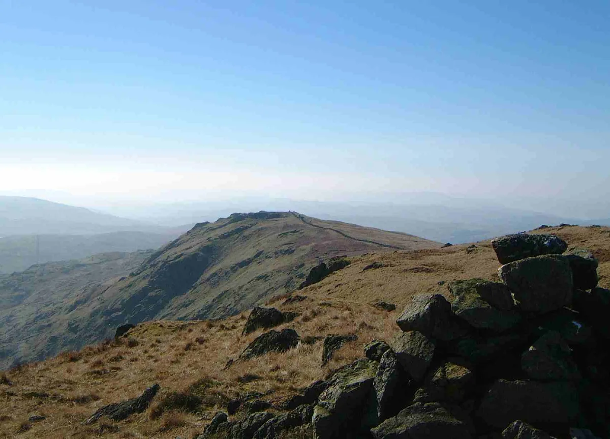
Sallows
Sallows — Named summit at 516 m.
 📷 3
📷 3Mountains & hills · North West England
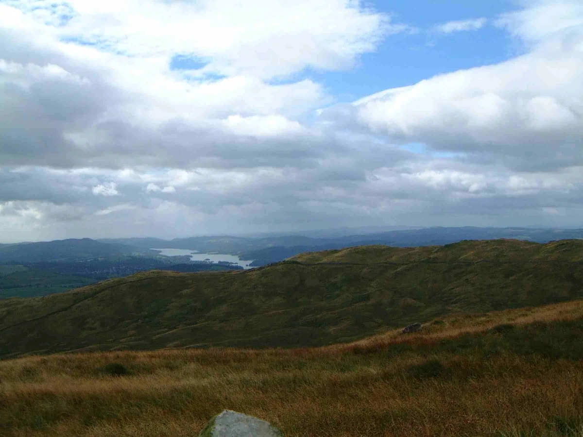
Shipman Knotts
Shipman Knotts — Named summit at 587 m.
 📷 3
📷 3Natural landmarks · North West England
Shipman Knotts
Shipman Knotts — mountain in United Kingdom.
 📷 3
📷 3Mountains & hills · North West England
Sour Howes
Sour Howes — Named summit at 483 m.
More towns in this region
 Flagship📷 5
Towns & cities · North West England
Aughton
Aughton — village and civil parish within the West Lancashire district of Lancashire, England.
 Flagship📷 5
Towns & cities · North West England
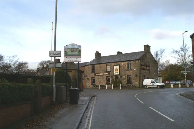
Haigh
Haigh — village and civil parish of the Metropolitan Borough of Wigan in Greater Manchester, England.
 Flagship📷 5
Towns & cities · North West England
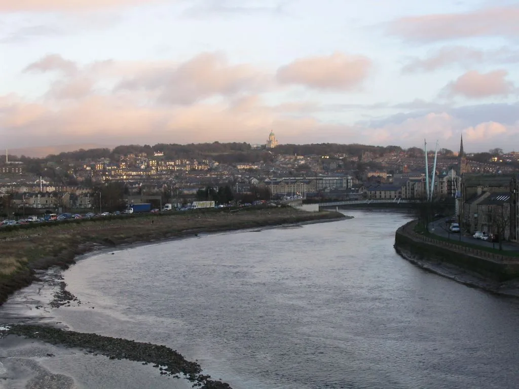
Lancaster
Lancaster — county town of Lancashire, England.
 Flagship📷 3
Towns & cities · North West England
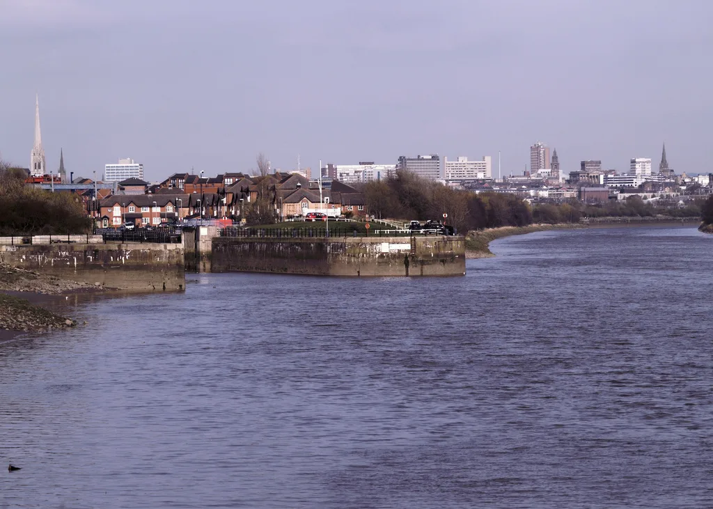
Preston
Preston — city and the administrative centre of Lancashire, England.
Frequently asked questions
- Where is Kentmere?
- Kentmere is in North-West England, United Kingdom (postcode LA8), in the parish of Kentmere.
- Is Kentmere a protected site?
- Yes — Kentmere is part of the River Kent and Tributaries SSSI Site of Special Scientific Interest and the River Eden and Tributaries SSSI Site of Special Scientific Interest.
- Is Kentmere free to visit?
- Yes, Kentmere is free to enter.
- How do I get to Kentmere?
- The nearest railway station is Staveley, about 6.1 km away. Drivers can navigate to postcode LA8.