
Follies · South East England
The Temple
In or near Betchworth.
The Temple — Folly or eyecatcher.

Malc McDonald — CC BY-SA 2.0 via Wikimedia Commons licence

Plan your visit
- Typical visit
- 20 min–45 min
- Nearest railway station
- Dorking West · 1.5 km
- Free entry
- Dog-friendly
About
The Temple is a folly in Surrey, London — built more for the eye than for any practical purpose, and a reminder of the British landscape's appetite for the eccentric. The site is within the Surrey Hills National Landscape (AONB). It sits within the Dorking and Horley parliamentary constituency. The nearest railway station is Dorking West, about 1.5 km away. Postcode area RH4.
Photo gallery
Protected designations
- Area of Outstanding Natural Beauty: Surrey Hills
Designations sourced from Natural England open data under OGL v3.
Place summary
The Temple is a folly located in Surrey, within the Mole Valley area of London. It is situated in an Area of Outstanding Natural Beauty (AONB) in the Surrey Hills.
AI-generated from the structured facts on this page (operator, designation, listing, era). Not a substitute for visiting.
- Coordinates
- 51.2234, -0.3467
- County
- Surrey
- District
- Mole Valley
- Parish
- Mole Valley, unparished area
- Postcode
- RH4 3FW
- Parliamentary constituency
- Dorking and Horley
- Nearest railway station
- Dorking West — 1.5 km
Sources
- osm: n300622135 (ODbL)
Other places nearby

Bury Hill House (site of)
Archaeological sites · 0.4 km

WW2 Polish Training Trenches
Historic houses · 0.5 km

Sondes Place
Manor houses · 0.7 km
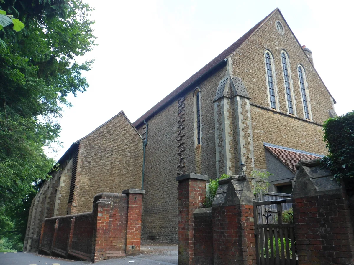
St Joseph's Church, Dorking
Historic churches · 0.8 km

Molly
Memorials & monuments · 0.8 km

Bartholomew Press
Public art & sculpture · 1.0 km

Milton Court
Manor houses · 1.0 km

South Street Gallery & Picture Framing
Galleries · 1.1 km

Dorking Cockerel
Public art & sculpture · 1.2 km

Dorking War Memorial
Memorials & monuments · 1.2 km

Dorking Caves
Caves · 1.2 km

William Mullins Pilgrim Father
Memorials & monuments · 1.3 km
Nearby
📷 5Archaeological sites · South East England
Bury Hill House (site of)
Bury Hill House (site of) — a archaeological in england-london, United Kingdom.
📷 5Historic houses · South East England
WW2 Polish Training Trenches
WW2 Polish Training Trenches — a historic house in england-london, United Kingdom.
📷 5Manor houses · South East England
Sondes Place
Sondes Place — a manor in england-london, United Kingdom.
📷 5Historic churches · South East England
St Joseph's Church, Dorking
St Joseph's Church, Dorking — church in Surrey, United Kingdom.
📷 5Memorials & monuments · South East England
Molly
Molly — a memorial in england-london, United Kingdom.
📷 5Public art & sculpture · South East England
Bartholomew Press
Bartholomew Press — a public art in england-london, United Kingdom.
Where to eat & stay near The Temple
Places to stay
 📷 5
📷 5Caravan parks · South East England
Conifer Park Caravan Site
Conifer Park Caravan Site — a caravan park in england london.
 📷 5
📷 5Campsites · South East England
Ranmore Common Campsite
Ranmore Common Campsite — a campsite in england london.
 📷 5
📷 5Campsites · South East England
Dorking Scouts Camp Site
Dorking Scouts Camp Site — a campsite in england london.
 📷 5
📷 5 📷 7
📷 7 📷 5
📷 5Places to eat & drink
 📷 7
📷 7 📷 7
📷 7Historic pubs · South East England
The Seven Stars Public House
The Seven Stars Public House in England South East, United Kingdom.
 📷 5
📷 5Historic pubs · South East England
The Windsor Castle Public House
The Windsor Castle Public House in England South East, United Kingdom.
 📷 7
📷 7Historic pubs · South East England
Duke Of Wellington Public House
Duke Of Wellington Public House in England South East, United Kingdom.
 📷 5
📷 5 📷 5
📷 5Historic pubs · South East England
The Skimmington Castle Public House
The Skimmington Castle Public House in England South East, United Kingdom.
More follies in this region
 📷 5
📷 5 📷 5
📷 5 📷 5
📷 5Follies · South East England
Clandon Park Grotto
Clandon Park Grotto — Folly or eyecatcher.
 📷 5
📷 5Follies · South East England
Clandon Park Temple
Clandon Park Temple — Folly or eyecatcher.
Frequently asked questions
- Where is The Temple?
- The Temple is in Surrey, South-East England, United Kingdom (postcode RH4 3FW), in the parish of Mole Valley, unparished area.
- What is The Temple?
- The Temple — Folly or eyecatcher.
- How do I get to The Temple?
- The nearest railway station is Dorking West, about 1.5 km away. The nearest town is Betchworth. Drivers can use postcode RH4 3FW.
- Is The Temple a protected site?
- Yes — The Temple is part of the Surrey Hills National Landscape (AONB).
- Is The Temple free to visit?
- Yes, The Temple is free to enter.
- How do I get to The Temple?
- The nearest railway station is Dorking West, about 1.5 km away. Drivers can navigate to postcode RH4 3FW.