Islands · Central Scotland
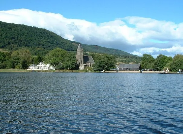
Inchmahome
Inchmahome — island in Lake of Menteith, Stirling, Scotland, UK.

Wikimedia Commons contributors — see linked file page for photographer and licence licence
Plan your visit
- Typical visit
- 4 h–12 h
- Free entry
- Dog-friendly
About
Inchmahome is a island in the United Kingdom. Wikidata describes it as: "island in Lake of Menteith, Stirling, Scotland, UK". Coordinates: 56.1761°, -4.2969°.
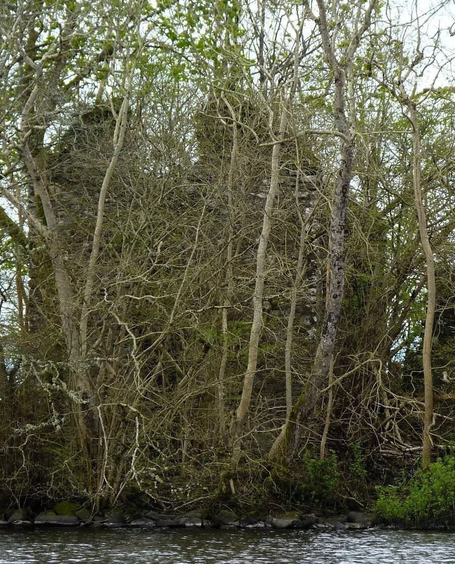
Photo gallery
From the Wikipedia article
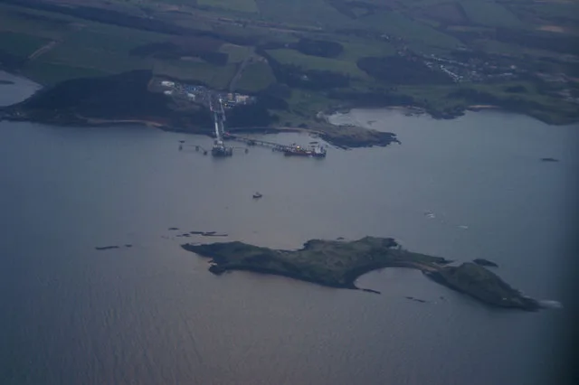
Inchmahome, an anglicisation of Innis Mo Cholmaig ("my-Colmac's island"), is the largest of three islands in the Lake of Menteith, in Stirlingshire.
Excerpt from Wikipedia under CC BY-SA 4.0. See the source article linked in Sources below.
Background
History
Inchmahome is best known as the location of Inchmahome Priory and for the attendant priors of Inchmahome. The priory was founded in 1238 by the Earl of Menteith, Walter Comyn, for a small community of the Augustinian order (the Black Canons). The Comyn family were one of the most powerful in Scotland at the time, and had an imposing country house on Inch Talla, one of the other islands on the lake. There is some evidence that there was a church on the island before the priory was established. The priory has a long history of receiving many notable guests. King Robert the Bruce visited three times, in 1306, 1308 and 1310. His visits were likely politically motivated, as the first abbot had…
Sourced from Wikipedia under CC BY-SA 4.0.
- Coordinates
- 56.1761, -4.2969
- District
- Stirling
- Postcode
- FK8 3RD
- Parliamentary constituency
- Stirling and Strathallan
Sources
- wikidata: Q15228627 (CC0)
- wikipedia: Inchmahome (CC BY-SA 4.0)
- commons: Scotland-2016-Aerial-Inchmahome Priory 02.jpg (CC BY-SA 4.0)
Other places nearby
Loading nearby places…
Nearby
 📷 5
📷 5Abbeys & priories · Scottish Highlands
Inchmahome Priory
Inchmahome Priory in Scotland Islands, United Kingdom.
 Flagship📷 3
Natural landmarks · Central Scotland
Lake of Menteith
Lake of Menteith — freshwater lake in Stirling, Scotland, UK, outflows east to Googie Water.
 📷 3
📷 3Castles · Central Scotland
Talla Castle
Talla Castle — castle in Stirling, Scotland, UK.
 📷 3
📷 3Castles · Central Scotland
Talla Castle (ruins)
Talla Castle (ruins) — a castle in scotland-central, United Kingdom.
 📷 4
📷 4Islands · Central Scotland
Inch Talla
Inch Talla — island in the Lake of Menteith, Stirlingshire.
 📷 3
📷 3Archaeological sites · Central Scotland
Dog Isle, Crannog
Dog Isle, Crannog — a archaeological in scotland-central, United Kingdom.
More places in this region
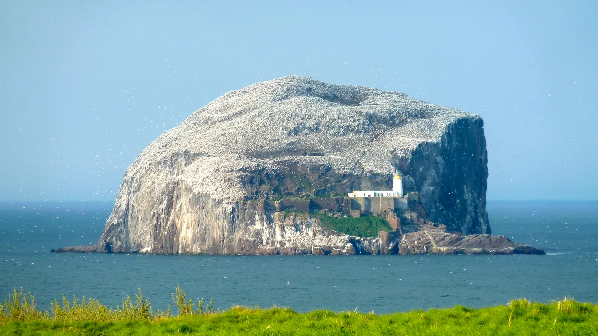 Flagship📷 5
Islands · Central Scotland
Bass Rock
Bass Rock — island in the east of Scotland.
 Flagship📷 3
Islands · Central Scotland
Fidra
Fidra — uninhabited island in the Firth of Forth, on the east coast of Scotland.
 Flagship📷 3
Islands · Central Scotland
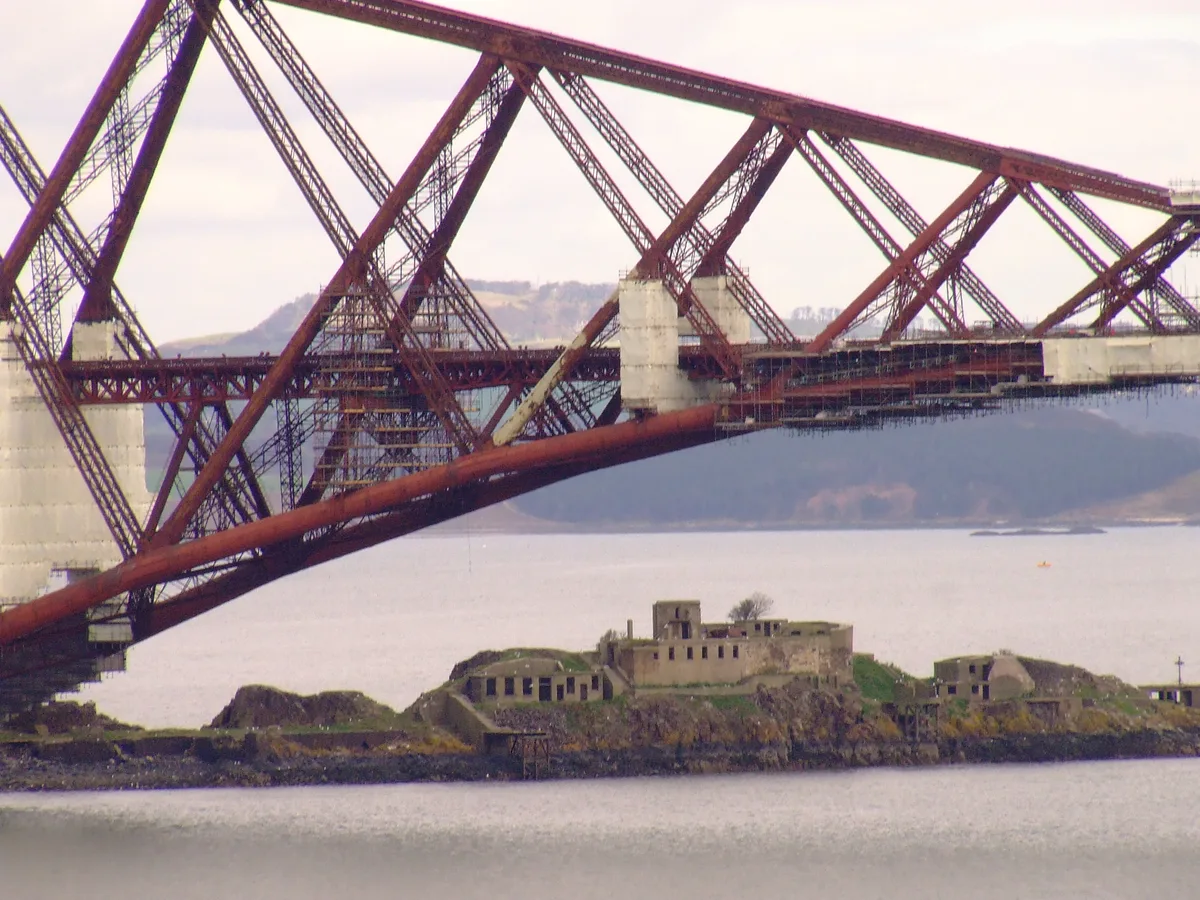
Inch Garvie
Inch Garvie — island in the Firth of Forth, Edinburgh, Scotland, UK.
 Flagship📷 3
Islands · Central Scotland
Inchcolm
Inchcolm — island in the Firth of Forth in Scotland.
Frequently asked questions
- Where is Inchmahome?
- Inchmahome is in central Scotland, United Kingdom (postcode FK8 3RD).
- What is Inchmahome?
- Inchmahome — island in Lake of Menteith, Stirling, Scotland, UK.
- How do I get to Inchmahome?
- Drivers can use postcode FK8 3RD.
- Is Inchmahome free to visit?
- Yes, Inchmahome is free to enter.
- How do I get to Inchmahome?
- Drivers can navigate to postcode FK8 3RD. It sits within the Stirling and Strathallan parliamentary constituency.