
Islands · Central Scotland
Inch Garvie
In or near North Queensferry.
Inch Garvie — island in the Firth of Forth, Edinburgh, Scotland, UK.

Wikimedia Commons contributors — see linked file page for photographer and licence licence

Plan your visit
- Typical visit
- 4 h–12 h
- Nearest railway station
- North Queensferry · 1.4 km
- Free entry
- Dog-friendly
Getting there & planning your visit
To visit Inch Garvie, the nearest railway station is North Queensferry, located 1.4 km away. Entry to the island is free.
About
Inch Garvie is a island in the United Kingdom. Wikidata describes it as: "island in the Firth of Forth, Edinburgh, Scotland, UK". Coordinates: 56.0008°, -3.3864°.
Photo gallery
From the Wikipedia article
Inchgarvie or Inch Garvie is a small, uninhabited island in the Firth of Forth. On the rocks around the island sit four caissons that make up the foundations of the Forth Bridge. Inchgarvie's fortifications pre-date the modern period. In the days when boats were the only way to cross the Firth of Forth, the island was on the main route between North Queensferry in Fife and South Queensferry in Lothian. This made it strategically important. Although now uninhabited, Inchgarvie has been inhabited throughout various periods of history. The first recorded time was in the late 15th century. Like nearby Inchmickery, its profile and colour makes it look like a small warship from a distance. It was armed with coast defence guns from 1901 until 1906, and again from 1908 until the 1930s.
Excerpt from Wikipedia under CC BY-SA 4.0. See the source article linked in Sources below.
Background
History
Records of Danish attacks on nearby islands, particularly Inchcolm as well as Fife and Lothian may mean that it was used in some capacity by them. The island was licensed by King James IV to John Dundas of Dundas with the power to build a fort on 20 March 1491. John Dundas did not build the castle, and James IV himself ordered a strong tower to be built in 1513. From 23 December 1514, Charles Dennison, Captain of Inchgarvie managed and fed a large royal construction team. The master mason was John of Cumbernauld, with his "servitor" John Strathauchin, who directed eight other masons and ten labourers. Margaret, Lady of Dundas gave them two boats. Two 'serpentine' guns and guns from Colstone…
Sourced from Wikipedia under CC BY-SA 4.0.
- Coordinates
- 56.0008, -3.3864
- District
- Fife
- Postcode
- KY11 1JU
- Parliamentary constituency
- Cowdenbeath and Kirkcaldy
- Nearest railway station
- North Queensferry — 1.4 km
Sources
- wikidata: Q2610327 (CC0)
- wikipedia: Inchgarvie (CC BY-SA 4.0)
- commons: Inchgarvie.JPG (CC BY-SA 4.0)
Other places nearby
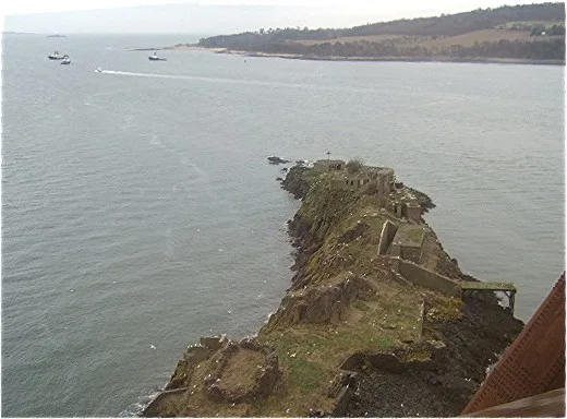
Inch Garvie,Firth of Forth,defensive installations
Castles · 0.0 km
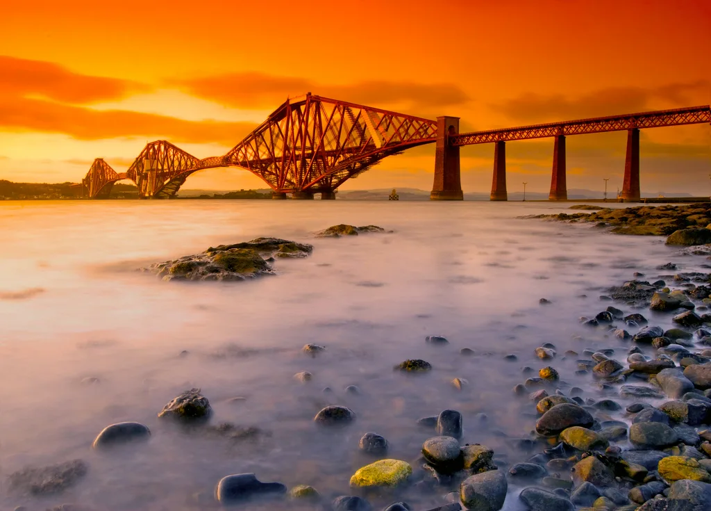
Forth Bridge
UNESCO World Heritage · 0.3 km

Forth Bridge Viewpoint
Viewpoints · 0.7 km

Battery Point Picnic Area
Natural landmarks · 0.7 km

Deep Sea World
Zoos & aquariums · 0.9 km

Forth Railway Bridge Viewpoint
Viewpoints · 0.9 km

Town Pier
Piers · 0.9 km

Town Pier, North Queensferry
Piers · 0.9 km

Forth Bridges Light House Museum
Museums · 1.0 km
North Queensferry Lighthouse
Lighthouses · 1.0 km
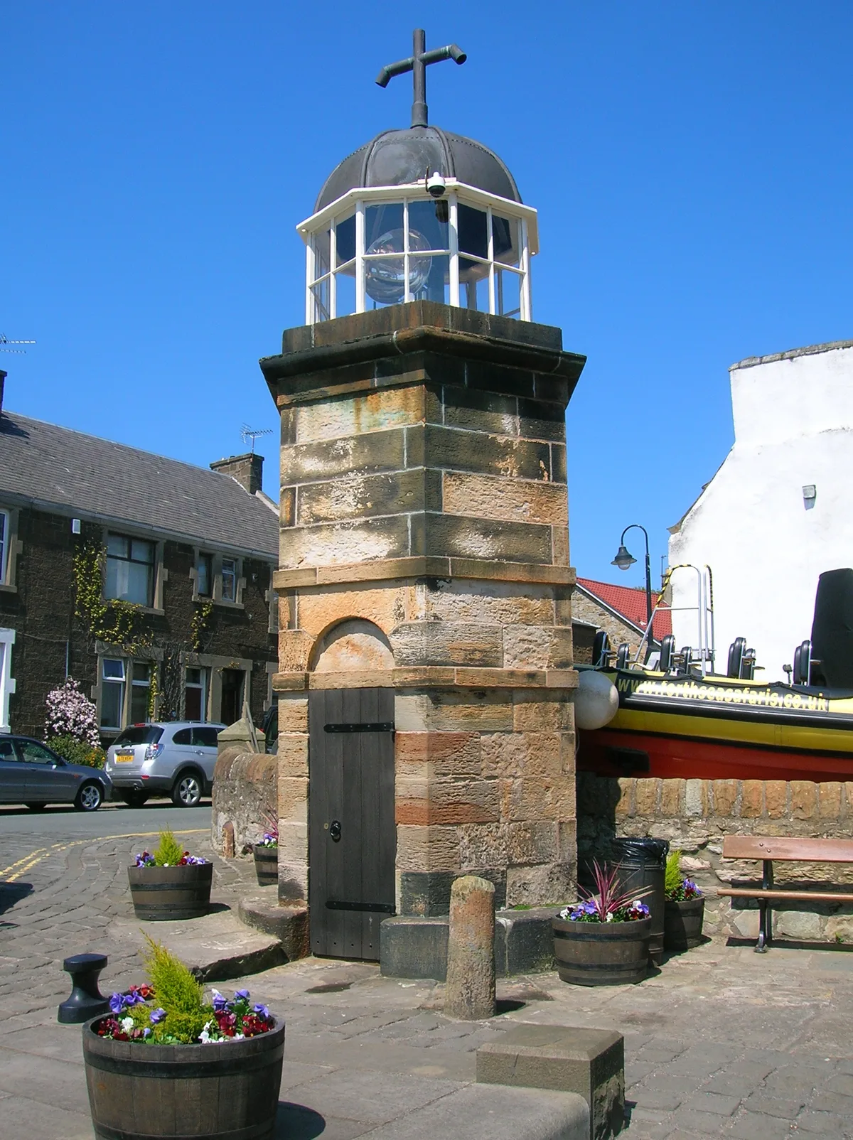
Lighthouse, Pierhead, North Queensferry
Lighthouses · 1.0 km

Hawes Pier
Piers · 1.0 km
Nearby
📷 3Castles · Central Scotland
Inch Garvie,Firth of Forth,defensive installations
Inch Garvie,Firth of Forth,defensive installations — architectural structure in City of Edinburgh, Scotland, UK.
📷 3UNESCO World Heritage · Central Scotland
Forth Bridge
Forth Bridge — railway bridge in eastern Scotland.
📷 3Viewpoints · Central Scotland
Forth Bridge Viewpoint
Forth Bridge Viewpoint is a viewpoint in the United Kingdom.
📷 3Natural landmarks · Central Scotland
Battery Point Picnic Area
Battery Point Picnic Area — a place in Central Scotland, United Kingdom.
📷 3Zoos & aquariums · Central Scotland
Deep Sea World
Deep Sea World — aquarium in Fife, Scotland, UK.
📷 3Viewpoints · Central Scotland
Forth Railway Bridge Viewpoint
Forth Railway Bridge Viewpoint is a viewpoint in the United Kingdom.
Where to eat & stay near Inch Garvie
Places to stay
 📷 5
📷 5Hotels · Central Scotland
DoubleTree by Hilton Edinburgh - Queensferry Crossing
DoubleTree by Hilton Edinburgh - Queensferry Crossing — a hotel in scotland central. 3-star. Brand: DoubleTree.
 📷 5
📷 5 📷 5
📷 5 📷 5
📷 5 📷 5
📷 5Hotels · Central Scotland
Hampton by Hilton Edinburgh Airport
Hampton by Hilton Edinburgh Airport — a hotel in scotland central. 3-star. Brand: Hampton.
 📷 5
📷 5Hotels · Central Scotland
Moxy Edinburgh Airport
Moxy Edinburgh Airport — a hotel in scotland central.
Places to eat & drink
 📷 6
📷 6Historic pubs · Central Scotland
The Burgh Arms
The Burgh Arms in Scotland Islands, United Kingdom.
 📷 7
📷 7Historic pubs · Central Scotland
Granton Tavern, 160 Lower Granton Road, Edinburgh
Granton Tavern, 160 Lower Granton Road, Edinburgh in Scotland Central, United Kingdom.
 📷 5
📷 5Restaurants · Central Scotland
Champany Inn
Champany Inn — a restaurant in scotland central.
 📷 7
📷 7Historic pubs · Central Scotland
Oatridge Hotel, 2, 4 East Main Street, Uphall
Oatridge Hotel, 2, 4 East Main Street, Uphall in Scotland Central, United Kingdom.
 📷 5
📷 5Historic pubs · Central Scotland
The Star Tavern, 71-73 High Street, Burntisland
The Star Tavern, 71-73 High Street, Burntisland in Scotland Central, United Kingdom.
 📷 7
📷 7Historic pubs · Central Scotland
The Wheatsheaf Inn, 209 Balgreen Road, Edinburgh
The Wheatsheaf Inn, 209 Balgreen Road, Edinburgh in Scotland Central, United Kingdom.
More places in this region
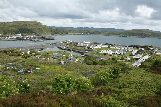 Flagship📷 5
Islands · Central Scotland
Easdale
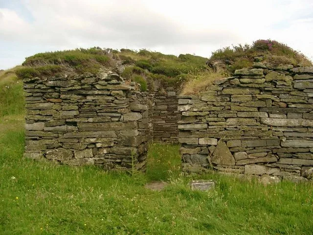
Easdale — one of the Slate Islands, in the Firth of Lorn, Scotland.
 Flagship📷 5
Islands · Central Scotland
Eileach an Naoimh
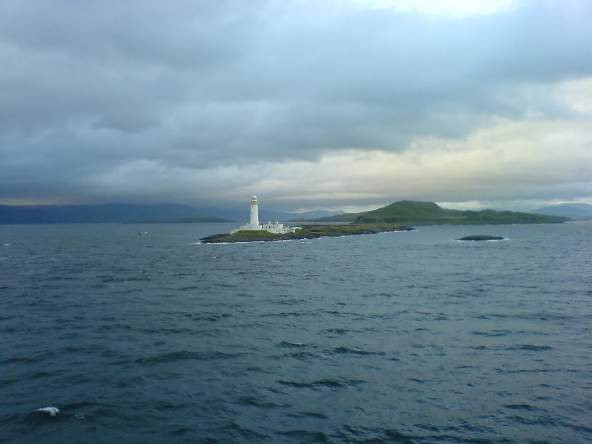
Eileach an Naoimh — uninhabited island, Garvellachs, Scotland.
 Flagship📷 3
Islands · Central Scotland
Eilean Musdile
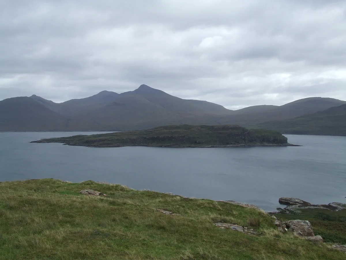
Eilean Musdile — an islet to the south west of Lismore in the Inner Hebrides.
 📷 5
📷 5Islands · Central Scotland
Eorsa
Eorsa — island. Off the coast of Mull, Scotland, in United Kingdom.
Frequently asked questions
- Where is Inch Garvie?
- Inch Garvie is in central Scotland, United Kingdom (postcode KY11 1JU).
- What is Inch Garvie?
- Inch Garvie — island in the Firth of Forth, Edinburgh, Scotland, UK.
- How do I get to Inch Garvie?
- The nearest railway station is North Queensferry, about 1.4 km away. The nearest town is North Queensferry. Drivers can use postcode KY11 1JU.
- Is Inch Garvie free to visit?
- Yes, Inch Garvie is free to enter.
- How do I get to Inch Garvie?
- The nearest railway station is North Queensferry, about 1.4 km away. Drivers can navigate to postcode KY11 1JU.