
Wildlife reserves · East of England
Hopton Fen
In or near North Lopham.
Hopton Fen — Suffolk Wildlife Trust nature reserve.

Wikimedia Commons contributors — see linked file page for photographer and licence licence

Plan your visit
- Typical visit
- 2 h–4 h
- Best time of year
- Autumn & winter (migration & wildfowl)
- Nearest railway station
- Harling Road · 8.0 km
- Free entry
- Family-friendly
- Dog-friendly
- Limited wheelchair access
Getting there & planning your visit
To visit Hopton Fen, the nearest railway station is Harling Road, which is 8 km away. The postcode for sat-nav is IP22 2RD, and entry is free. Please note that wheelchair accessibility is limited.
About
Hopton Fen is a wildlife reserve in the United Kingdom. Heritage designation: Site of Special Scientific Interest. Managed by Suffolk Wildlife Trust. Wikidata describes it as: "Suffolk Wildlife Trust nature reserve". Coordinates: 52.3820°, 0.9230°.
Photo gallery
Protected designations
- Site of Special Scientific Interest: Hopton Fen SSSI
- Site of Special Scientific Interest: Breckland Forest SSSI
Designations sourced from Natural England open data under OGL v3.
From the Wikipedia article
Hopton Fen is a 15.3-hectare (38-acre) biological Site of Special Scientific Interest north of Hopton in Suffolk. It is managed by the Suffolk Wildlife Trust. This reed-dominated fen has diverse flora, including devil's bit scabious, black bog-rush, bogbeana and early marsh orchid. The Trust is improving the site by excavating new pools, and introducing grazing to restore the open landscape. There is access by a footpath from Hopton.
Excerpt from Wikipedia under CC BY-SA 4.0. See the source article linked in Sources below.
- Coordinates
- 52.3820, 0.9230
- County
- Suffolk
- District
- West Suffolk
- Parish
- Hopton
- Postcode
- IP22 2RD
- Parliamentary constituency
- Bury St Edmunds and Stowmarket
- Nearest railway station
- Harling Road — 8 km
Sources
- wikidata: Q5901341 (CC0)
- wikipedia: Hopton Fen (CC BY-SA 4.0)
- commons: Hopton Fen, Suffolk - geograph.org.uk - 94571.jpg (CC BY-SA 4.0)
Other places nearby

Hopton War Memorial
Memorials & monuments · 1.0 km

Hopton
Villages · 1.0 km

Hopton Village Sign
Public art & sculpture · 1.1 km

Garboldisham Windmill
Windmills · 1.3 km

Saint Nicholas
Historic houses · 1.4 km

Saint Nicholas
Archaeological sites · 1.4 km

Hillside Farm Camping
Campsites · 1.5 km

Gasthorpe
Villages · 1.6 km
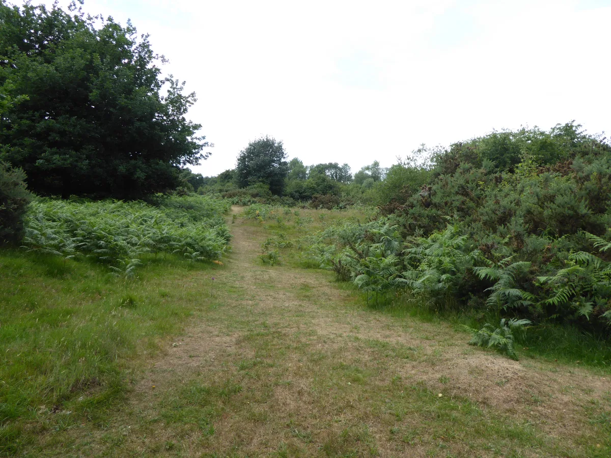
Market Weston Fen
Wildlife reserves · 1.7 km

Knettishall
Villages · 1.8 km

Market Weston Fen
Forests & woodlands · 1.8 km

Arch 8 Metres North East Of Blo' Norton Hall
Memorials & monuments · 1.8 km
Nearby
📷 3Memorials & monuments · East of England
Hopton War Memorial
Hopton War Memorial is a memorial in the United Kingdom.
📷 5📷 3Public art & sculpture · East of England
Hopton Village Sign
Hopton Village Sign — a public art in East of England, United Kingdom.
📷 3Windmills · East of England
Garboldisham Windmill
Garboldisham Windmill is a windmill in the United Kingdom.
📷 3Historic houses · East of England
Saint Nicholas
Saint Nicholas — a historic house in East of England, United Kingdom.
📷 5Archaeological sites · East of England
Saint Nicholas
Saint Nicholas — archaeological in england east.
Where to eat & stay near Hopton Fen
Places to stay
📷 5Campsites · East of England
Hillside Farm Camping
Hillside Farm Camping — a campsite in england east.
 📷 5
📷 5Campsites · East of England
Ling's Meadow
Ling's Meadow — a campsite in england east.
 📷 5
📷 5Caravan parks · East of England
The Dower House Touring Park
The Dower House Touring Park — a caravan park in england east.
 📷 5
📷 5Campsites · East of England
Escape Pods
Escape Pods — a campsite in england east.
 📷 5
📷 5Campsites · East of England
Bromptons Farm
Bromptons Farm — a campsite in england east.
 📷 5
📷 5B&Bs · East of England
The Red Lion
The Red Lion — a bed-and-breakfast in england east.
Places to eat & drink
 📷 5
📷 5Historic pubs · East of England
The Old Woolpack Public House
The Old Woolpack Public House in England East, United Kingdom.
 📷 5
📷 5Historic pubs · East of England
Old Mill Public House, Rudolph's Nite Spot And Old Mill Pizza House
Old Mill Public House, Rudolph's Nite Spot And Old Mill Pizza House in England East, United Kingdom.
 📷 5
📷 5Restaurants · East of England
Wong's Taste of China
Wong's Taste of China — a restaurant in england east.
 📷 5
📷 5Restaurants · East of England
Hong Xin
Hong Xin — a restaurant in england east.
 📷 5
📷 5 📷 5
📷 5Historic pubs · East of England
Saracens Head Inn
Saracens Head Inn in England East, United Kingdom.
More places run by Suffolk Wildlife Trust
 Flagship📷 3
Wildlife reserves · East of England
Alde Mudflats
Alde Mudflats — Suffolk Wildlife Trust nature reserve.
 📷 5
📷 5Wildlife reserves · East of England
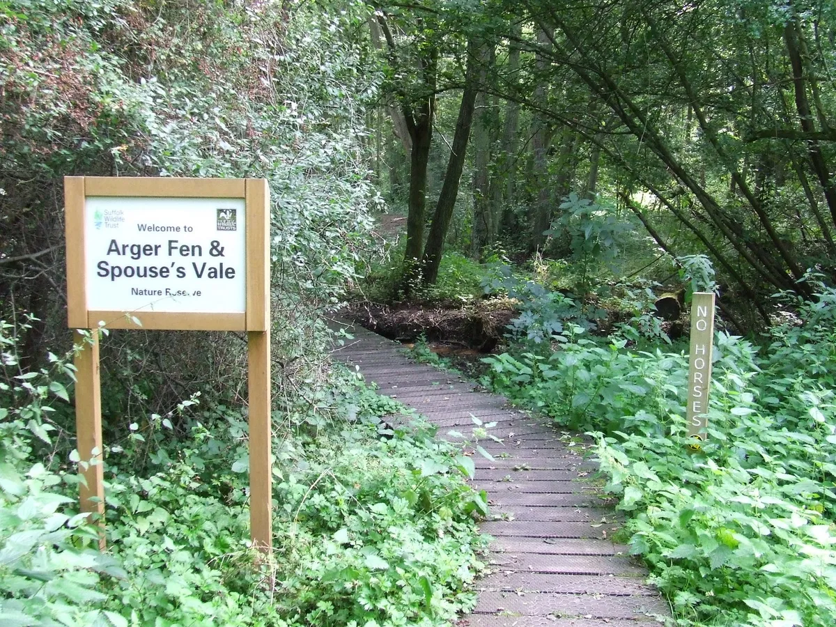
Arger Fen
Arger Fen — Suffolk Wildlife Trust nature reserve.
 Flagship📷 5
Wildlife reserves · East of England
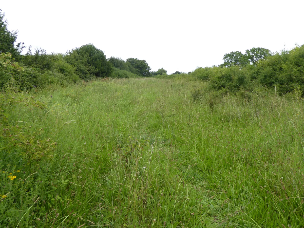
Black Bourn Valley
Black Bourn Valley — Suffolk Wildlife Trust nature reserve.
 📷 3
📷 3Wildlife reserves · East of England
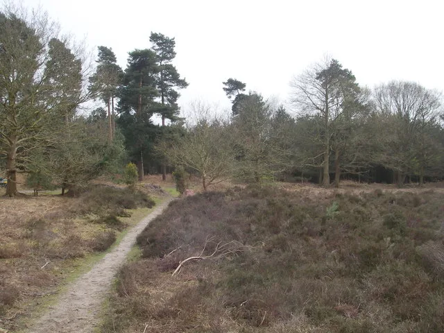
Blaxhall Common
Blaxhall Common — Suffolk Wildlife Trust nature reserve.
More places in this region
 Flagship📷 10
Wildlife reserves · East of England
Amwell Quarry
Amwell Quarry — nature reserve in United Kingdom.
 Flagship📷 10
Wildlife reserves · East of England
Aubrey Buxton Nature Reserve
Aubrey Buxton Nature Reserve — Essex Wildlife Trust Nature reserve.
 Flagship📷 10
Wildlife reserves · East of England
Canvey Wick
Canvey Wick — nature reserve in Essex, United Kingdom.
 Flagship📷 10
Wildlife reserves · East of England
Crowsheath Wood
Crowsheath Wood — Essex Wildlife Trust Nature reserve.
Frequently asked questions
- Where is Hopton Fen?
- Hopton Fen is in Suffolk, East of England, United Kingdom (postcode IP22 2RD), in the parish of Hopton.
- What is Hopton Fen?
- Hopton Fen — Suffolk Wildlife Trust nature reserve.
- How do I get to Hopton Fen?
- The nearest railway station is Harling Road, about 8.0 km away. The nearest town is North Lopham. Drivers can use postcode IP22 2RD.
- Who runs Hopton Fen?
- Hopton Fen is operated by Suffolk Wildlife Trust.
- Is Hopton Fen a listed building?
- Hopton Fen is officially recognised as Site of Special Scientific Interest listed.
- Is Hopton Fen a protected site?
- Yes — Hopton Fen is part of the Hopton Fen SSSI Site of Special Scientific Interest and the Breckland Forest SSSI Site of Special Scientific Interest.
- Is Hopton Fen free to visit?
- Yes, Hopton Fen is free to enter.
- How do I get to Hopton Fen?
- Drivers can navigate to postcode IP22 2RD. It sits within the Bury St Edmunds and Stowmarket parliamentary constituency.