
Parks · East Midlands
Holmewood
In or near Grassmoor.
Holmewood is a village in the North East Derbyshire district of Derbyshire, England. Historically a coal mining village, it has close links to the villages of Heath, North Wingfield and Temple Norman

Dave Bevis — CC BY-SA 2.0 via Wikimedia Commons licence

Plan your visit
- Typical visit
- 1 h–2 h
- Nearest railway station
- Chesterfield · 6.9 km
- Free entry
- Family-friendly
- Dog-friendly
Getting there & planning your visit
To visit Holmewood, the nearest railway station is Chesterfield, located 6.9 km away. The postcode for sat-nav is S42 5RL, and entry to the park is free.
About
Holmewood is a village in the North East Derbyshire district of Derbyshire, England. Historically a coal mining village, it has close links to the villages of Heath, North Wingfield and Temple Normanton. It is in the civil parish of Heath and Holmewood. The village of Holmewood was formed as a residence by The Williamthorpe Colliery Company from 1905 until 1970, when it closed due to the high cost of deep seam mining. The colliery was the main employer of the village and upon its closure, caused much unemployment within the area. As a consequence of the Margaret Thatcher Government in the late 1980s, plans were put in place to construct two large industrial estates to limit the high unemployment levels within the ex-colliery communities in the North Derbyshire Area. This industrial estate has now expanded to cover a much larger area and is known as the 'Holmewood Enterprise Zone'. Due to EU Government incentives, the site attracts high levels of investment from national-level companies. There is a countryside park on the site, which is known as the Five Pits Trail, which links the five villages around Holmewood. The area contains several ponds that, once heavily polluted, are now havens for wildlife and are popular with anglers and birdwatchers. The village has many small shops, a Working men's club, churches and a public library. The local football team is Holmewood Park Rangers.
Photo gallery
360° viewimagery from 2026
Imagery © Mapillary contributors, CC BY-SA 4.0
From the Wikipedia article
Holmewood is a village in the North East Derbyshire district of Derbyshire, England. Historically a coal mining village, it has close links to the villages of Heath, North Wingfield and Temple Normanton. It is in the civil parish of Heath and Holmewood.
The village of Holmewood was formed as a residence by The Williamthorpe Colliery Company from 1905 until 1970, when it closed due to the high cost of deep seam mining. The colliery was the main employer of the village and upon its closure, caused much unemployment within the area. As a consequence of the Margaret Thatcher Government in the late 1980s, plans were put in place to construct two large industrial estates to limit the high unemployment levels within the ex-colliery communities in the North Derbyshire Area. This industrial estate has now expanded to cover a much larger area and is known as the 'Holmewood Enterprise Zone'. Due to EU Government incentives, the site attracts high levels of investment from national-level companies. There is a countryside park on the site, which is known as the Five Pits Trail, which links the five villages around Holmewood. The area contains several ponds that, once heavily polluted, are now havens for wildlife and are popular with anglers and birdwatchers. The village has many small shops, a Working men's club, churches and a public library. The local football team is Holmewood Park Rangers.
Excerpt from Wikipedia under CC BY-SA 4.0. See the source article linked in Sources below.
- Coordinates
- 53.1893, -1.3549
- County
- Derbyshire
- District
- North East Derbyshire
- Parish
- Heath and Holmewood
- Postcode
- S42 5RL
- Parliamentary constituency
- Bolsover
- Nearest railway station
- Chesterfield — 6.9 km
Sources
- wikipedia: Holmewood (CC BY-SA 4.0)
Other places nearby

Holmewood
Villages · 0.7 km

Timberland Motorhomes
Caravan parks · 1.6 km

Heath
Villages · 1.9 km

Heath Old Church
Historic houses · 2.3 km
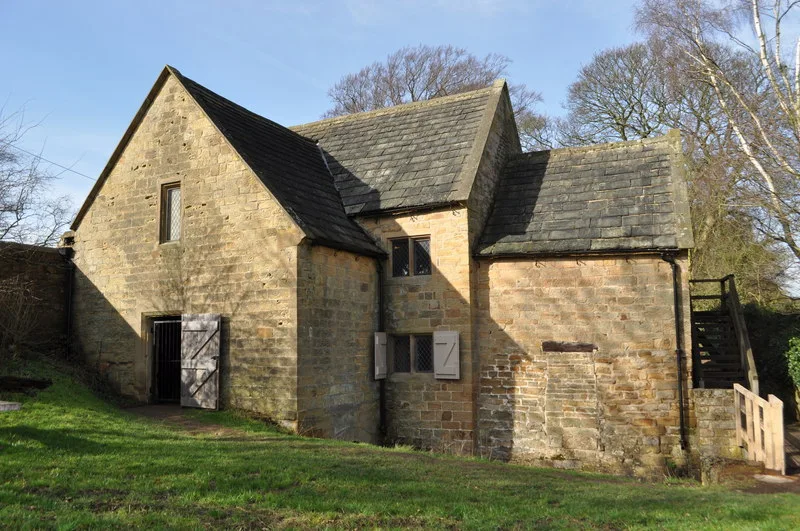
Stainsby Mill
Museums · 2.4 km

Ault Hucknall War Memorial
Memorials & monuments · 2.4 km

Stainsby Mill
Watermills · 2.4 km

Doe Lea
Museums · 2.7 km
Dancing Flowers of Doe Lea
Public art & sculpture · 2.9 km

Hardstoft
Villages · 2.9 km

Sutton Manor
Manor houses · 3.0 km

Sutton Scarsdale Hall
Historic houses · 3.1 km
Nearby
📷 5📷 5Caravan parks · East Midlands
Timberland Motorhomes
Timberland Motorhomes — a caravan park in england east midlands.
📷 5📷 3Historic houses · East Midlands
Heath Old Church
Heath Old Church — a historic house in england-east-midlands, United Kingdom.
📷 3Museums · East Midlands
Stainsby Mill
Stainsby Mill — Grade II listed watermill in Stainsby, Ault Hucknall, Bolsover, England, UK.
📷 3Memorials & monuments · East Midlands
Ault Hucknall War Memorial
Ault Hucknall War Memorial — Grade II listed building-listed memorial in england-east-midlands, United Kingdom.
Where to eat & stay near Holmewood
Places to stay
📷 5Caravan parks · East Midlands
Timberland Motorhomes
Timberland Motorhomes — a caravan park in england east midlands.
 📷 4
📷 4 📷 5
📷 5Caravan parks · East Midlands
Millfield Mobile Home Park
Millfield Mobile Home Park — a caravan park in england east midlands.
 📷 5
📷 5Caravan parks · East Midlands
Brookfield Mobile Home Park
Brookfield Mobile Home Park — a caravan park in england east midlands.
 📷 5
📷 5Campsites · East Midlands
Teversal Camping and Caravaning Club
Teversal Camping and Caravaning Club — a campsite in england east midlands.
 📷 7
📷 7Places to eat & drink
 📷 5
📷 5Historic pubs · East Midlands
The Royal Oak Inn
The Royal Oak Inn in England East Midlands, United Kingdom.
 📷 5
📷 5Historic pubs · East Midlands
The Crispin Inn
The Crispin Inn in England East Midlands, United Kingdom.
 📷 5
📷 5Historic pubs · East Midlands
The Miners Arms Public House
The Miners Arms Public House in England East Midlands, United Kingdom.
 📷 7
📷 7Historic pubs · East Midlands
The Nags Head Public House
The Nags Head Public House in England East Midlands, United Kingdom.
 📷 5
📷 5 📷 5
📷 5Historic pubs · East Midlands
Portland Arms Public House
Portland Arms Public House in England East Midlands, United Kingdom.
More parks in this region
 📷 4
📷 4Parks · East Midlands
Bourne Festival
Bourne Festival is an annual music event held in Wellhead Park in the market town of Bourne, Lincolnshire, England. The festival is a charity event organised by Bourne and District Round Table 896, a
 📷 4
📷 4Parks · East Midlands
Millennium Roller Coaster
Millennium (formerly Millennium Roller Coaster) is a roller coaster at Fantasy Island in Ingoldmells, United Kingdom. It was built by Vekoma, a Dutch roller coaster manufacturer, to celebrate the arri
 📷 5
📷 5Parks · East Midlands
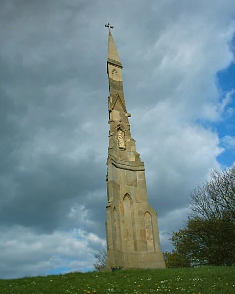
Cholera Monument Grounds and Clay Wood
Cholera Monument Grounds and Clay Wood — park in Sheffield, South Yorkshire, England, UK.
 📷 5
📷 5Parks · East Midlands
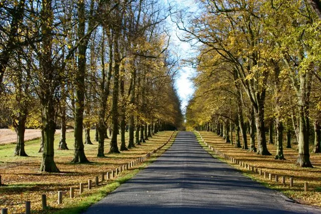
Clumber Park
Clumber Park — estate in Worksop, Nottinghamshire, England, UK.
Frequently asked questions
- Where is Holmewood?
- Holmewood is in Derbyshire, the East Midlands, United Kingdom (postcode S42 5RL), in the parish of Heath and Holmewood.
- What is Holmewood?
- Holmewood is a village in the North East Derbyshire district of Derbyshire, England. Historically a coal mining village, it has close links to the villages of Heath, North Wingfield and Temple Norman
- How do I get to Holmewood?
- The nearest railway station is Chesterfield, about 6.9 km away. Drivers can use postcode S42 5RL.
- Is Holmewood free to visit?
- Yes, Holmewood is free to enter.
- How do I get to Holmewood?
- The nearest railway station is Chesterfield, about 6.9 km away. Drivers can navigate to postcode S42 5RL.