
Museums · East Midlands
Doe Lea
In or near Long Duckmanton.
Doe Lea is a small, linear village in the English county of Derbyshire. It is in the Bolsover district of the county and falls in the Ault Hucknall civil parish. The village runs along the old A617

Andrew Hill — CC BY-SA 2.0 via Wikimedia Commons licence

Plan your visit
- Typical visit
- 1.5 h–3 h
- Best time of year
- Year-round
- Nearest railway station
- Shirebrook · 7.5 km
- Family-friendly
- Limited wheelchair access
Getting there & planning your visit
To visit Doe Lea, the nearest railway station is Shirebrook, located 7.5 km away. The postcode for sat-nav is S44 5PS. Please note that accessibility is limited for wheelchair users.
About
Doe Lea is a small, linear village in the English county of Derbyshire. It is in the Bolsover district of the county and falls in the Ault Hucknall civil parish. The village runs along the old A617 road. A newer dual carriageway (currently the A617) runs parallel to it. The village is also immediately adjacent to junction 29 of the M1 motorway, like its neighbouring village Heath. Hardwick Hall is nearby. In 2005 the river and banks were given a makeover. A new path was put down, about 30 new trees were planted, the path was called Willow Walk and was opened by Dennis Skinner, MP. The work was carried out by The Doe Lea Valley Community Partnership, a group of volunteers from Doe Lea and surrounding areas. Work is still being carried out and is still being maintained by the group. The village has a public house and a community centre. The River Doe Lea runs through the village, and Doe Lea local nature reserve is located nearby. Doe Lea is near the villages of Bramley Vale, Glapwell, Heath and Stainsby; the latter hosts the annual Stainsby Festival.
Photo gallery
From the Wikipedia article
Doe Lea is a small, linear village in the English county of Derbyshire. It is in the Bolsover district of the county and falls in the Ault Hucknall civil parish. The village runs along the old A617 road. A newer dual carriageway (currently the A617) runs parallel to it. The village is also immediately adjacent to junction 29 of the M1 motorway, like its neighbouring village Heath. Hardwick Hall is nearby. In 2005 the river and banks were given a makeover. A new path was put down, about 30 new trees were planted, the path was called Willow Walk and was opened by Dennis Skinner, MP. The work was carried out by The Doe Lea Valley Community Partnership, a group of volunteers from Doe Lea and surrounding areas. Work is still being carried out and is still being maintained by the group. The village has a public house and a community centre. The River Doe Lea runs through the village, and Doe Lea local nature reserve is located nearby. Doe Lea is near the villages of Bramley Vale, Glapwell, Heath and Stainsby; the latter hosts the annual Stainsby Festival.
Excerpt from Wikipedia under CC BY-SA 4.0. See the source article linked in Sources below.
- Coordinates
- 53.1920, -1.3140
- County
- Derbyshire
- District
- Bolsover
- Parish
- Ault Hucknall
- Postcode
- S44 5PS
- Parliamentary constituency
- Bolsover
- Nearest railway station
- Shirebrook — 7.5 km
Sources
- wikipedia: Doe Lea (CC BY-SA 4.0)
Other places nearby
Dancing Flowers of Doe Lea
Public art & sculpture · 0.1 km

Glapwell Collieries
Public art & sculpture · 0.6 km
Bramley Vale Drift Mine
Public art & sculpture · 0.6 km

Ault Hucknall War Memorial
Memorials & monuments · 1.1 km

Heath Old Church
Historic houses · 1.1 km

Stainsby Mill
Watermills · 1.1 km
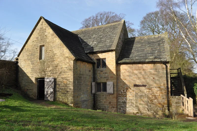
Stainsby Mill
Museums · 1.1 km

Heath
Villages · 1.6 km

Timberland Motorhomes
Caravan parks · 2.0 km

Holmewood
Villages · 2.6 km
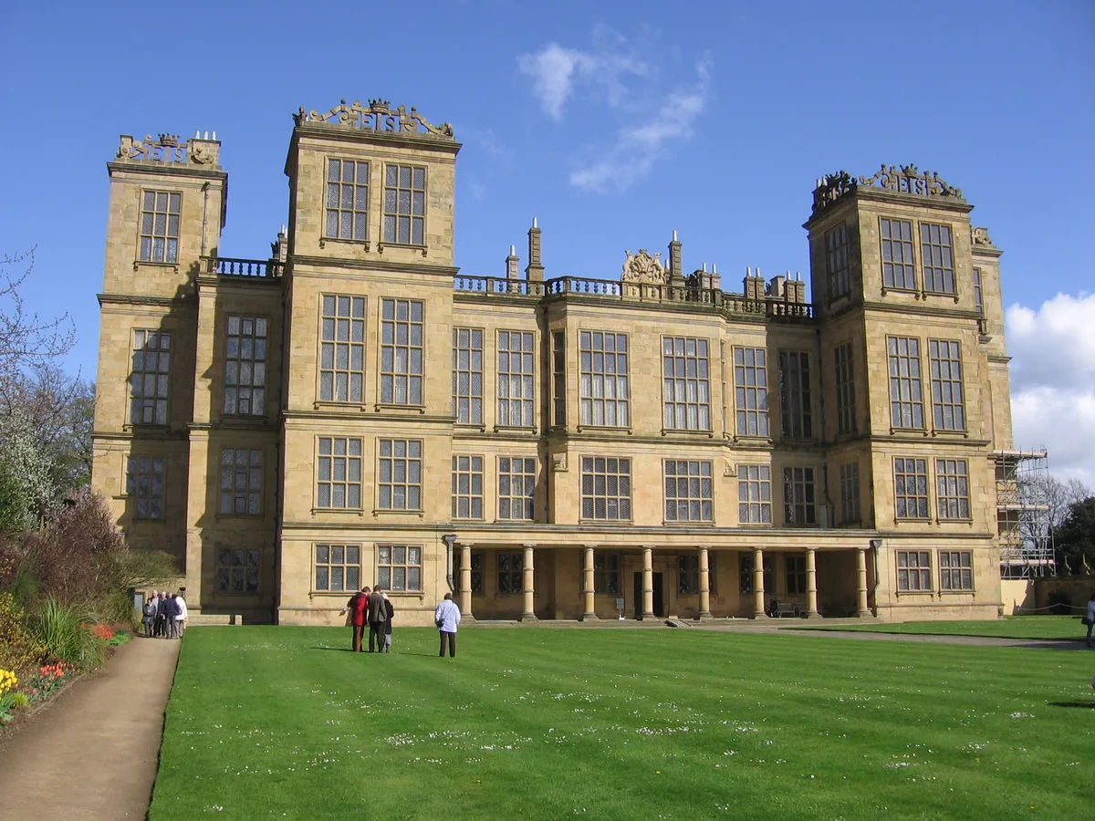
Hardwick Hall
Galleries · 2.6 km

Hardwick Old Hall
Historic houses · 2.6 km
Nearby
📷 3Public art & sculpture · East Midlands
Dancing Flowers of Doe Lea
Dancing Flowers of Doe Lea — a public art in england-east-midlands, United Kingdom.
📷 3Public art & sculpture · East Midlands
Glapwell Collieries
Glapwell Collieries — a public art in england-east-midlands, United Kingdom.
📷 3Public art & sculpture · East Midlands
Bramley Vale Drift Mine
Bramley Vale Drift Mine — a public art in england-east-midlands, United Kingdom.
📷 3Memorials & monuments · East Midlands
Ault Hucknall War Memorial
Ault Hucknall War Memorial — Grade II listed building-listed memorial in england-east-midlands, United Kingdom.
📷 3Historic houses · East Midlands
Heath Old Church
Heath Old Church — a historic house in england-east-midlands, United Kingdom.
📷 3Where to eat & stay near Doe Lea
Places to stay
📷 5Caravan parks · East Midlands
Timberland Motorhomes
Timberland Motorhomes — a caravan park in england east midlands.
 📷 5
📷 5Campsites · East Midlands
Teversal Camping and Caravaning Club
Teversal Camping and Caravaning Club — a campsite in england east midlands.
 📷 4
📷 4 📷 5
📷 5Caravan parks · East Midlands
Caravan Club Site - Poolsbrook
Caravan Club Site - Poolsbrook — a caravan park in england east midlands.
 📷 5
📷 5Caravan parks · East Midlands
Millfield Mobile Home Park
Millfield Mobile Home Park — a caravan park in england east midlands.
 📷 7
📷 7Places to eat & drink
 📷 5
📷 5Historic pubs · East Midlands
The Royal Oak Inn
The Royal Oak Inn in England East Midlands, United Kingdom.
 📷 5
📷 5 📷 5
📷 5Historic pubs · East Midlands
Portland Arms Public House
Portland Arms Public House in England East Midlands, United Kingdom.
 📷 5
📷 5Historic pubs · East Midlands
The Old Ram Public House
The Old Ram Public House in England East Midlands, United Kingdom.
 📷 5
📷 5Historic pubs · East Midlands
The Bridge Tavern Public House
The Bridge Tavern Public House in England East Midlands, United Kingdom.
 📷 7
📷 7Historic pubs · East Midlands
The Nags Head Public House
The Nags Head Public House in England East Midlands, United Kingdom.
More museums in this region
 📷 5
📷 5Museums · East Midlands
Stamford Town Hall
Stamford Town Hall — building in Stamford, Lincolnshire, England, UK.
 📷 5
📷 5Museums · East Midlands
Thorney Museum
Thorney Museum — a museum in england-london, United Kingdom.
 📷 5
📷 5Museums · East Midlands
Octavia Hill Birthplace Museum
Octavia Hill Birthplace Museum — a museum in england-london, United Kingdom.
 📷 5
📷 5Museums · East Midlands
Museum of Technology
Museum of Technology — a museum in england-london, United Kingdom.
Frequently asked questions
- Where is Doe Lea?
- Doe Lea is in Derbyshire, the East Midlands, United Kingdom (postcode S44 5PS), in the parish of Ault Hucknall.
- What is Doe Lea?
- Doe Lea is a small, linear village in the English county of Derbyshire. It is in the Bolsover district of the county and falls in the Ault Hucknall civil parish. The village runs along the old A617
- How do I get to Doe Lea?
- The nearest railway station is Shirebrook, about 7.5 km away. Drivers can use postcode S44 5PS.
- How do I get to Doe Lea?
- The nearest railway station is Shirebrook, about 7.5 km away. Drivers can navigate to postcode S44 5PS.