
Historic houses · North West England
Highfields
In or near Hankelow.
Highfields — a Grade I-listed historic house in england-west-midlands, United Kingdom.

Simon Huguet — CC BY-SA 2.0 via Wikimedia Commons licence

Plan your visit
- Typical visit
- 1 h–2 h
- Nearest railway station
- Wrenbury · 9.5 km
- Family-friendly
- Limited wheelchair access
Getting there & planning your visit
To visit Highfields, the nearest railway station is Wrenbury, located 9.5 km away. The postcode for sat-nav is CW3 0DT. Please note that wheelchair accessibility is limited.
About
Highfields is a Grade I-listed building in england-west-midlands, United Kingdom. Grade I status is conferred by Historic England (or Cadw, Historic Environment Scotland or NIEA equivalents) on buildings of exceptional national interest. See the linked Wikipedia article for full historical and architectural details.
Photo gallery
From the Wikipedia article
Highfields is a small country house in the civil parish of Buerton, Cheshire, England. It is recorded in the National Heritage List for England as a designated Grade I listed building. The house is dated 1615. It was built for the Dod family and additions were made in 1750 by William Baker, and again in 1897. It is timber-framed on an ashlar plinth with rendered infill and a plain tiled roof. The house consists of two storeys with an attic. The front elevation has five bays which are symmetrically disposed with projecting gabled wings on both sides. Both floors have close-studded walling with a middle rail. The first floor is jettied, as are the gables of the two lateral wings.
Excerpt from Wikipedia under CC BY-SA 4.0. See the source article linked in Sources below.
- Coordinates
- 52.9654, -2.4855
- District
- Cheshire East
- Parish
- Buerton
- Postcode
- CW3 0DT
- Parliamentary constituency
- Chester South and Eddisbury
- Nearest railway station
- Wrenbury — 9.5 km
Sources
- wikidata: Q5758509 (CC0)
- wikipedia: Highfields, Buerton (CC BY-SA 4.0)
Other places nearby

Bridge Number 73 Adderley Pool Bridge
Historic bridges · 1.0 km
Adderley Hall
Gardens · 1.1 km

Adderley Castle Hill
Literary houses · 1.3 km

Bridge Number 71 Massey's Bridge
Historic bridges · 1.4 km

Bridge No 74 at SJ 660 411
Historic bridges · 1.5 km

Bridge No 75 at SJ 659 415
Historic bridges · 1.6 km

Bridge Number 70 Wems Bridge
Historic bridges · 1.7 km
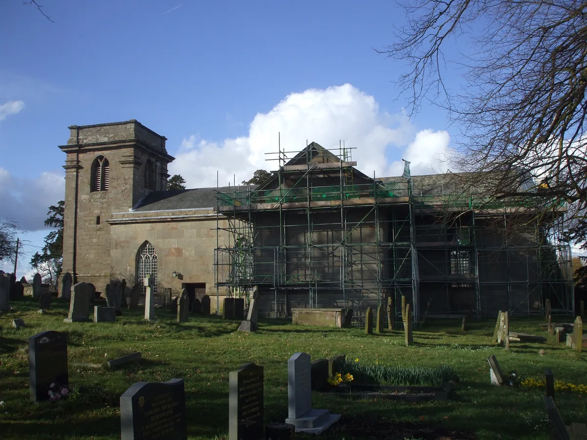
St Peter's Church, Adderley
Historic churches · 2.0 km

Buerton Village Sign
Public art & sculpture · 2.6 km

Ridgwardine Manor
Manor houses · 2.8 km

Audlem Baptist Church
Historic churches · 2.9 km

Shropshire Union Canal Bridge Number 67 Bettoncoppice Turnover Bridge
Historic bridges · 2.9 km
Nearby
📷 3Historic bridges · West Midlands
Bridge Number 73 Adderley Pool Bridge
Bridge Number 73 Adderley Pool Bridge — Grade II listed building-listed bridge in england-west-midlands, United Kingdom.
📷 4Gardens · West Midlands
Adderley Hall
Adderley Hall — a garden in england-west-midlands, United Kingdom.
📷 5Literary houses · West Midlands
Adderley Castle Hill
Adderley Castle Hill — a literary house museum in england west midlands.
📷 3Historic bridges · West Midlands
Bridge Number 71 Massey's Bridge
Bridge Number 71 Massey's Bridge — Grade II listed building-listed bridge in england-west-midlands, United Kingdom.
📷 3Historic bridges · West Midlands
Bridge No 74 at SJ 660 411
Bridge No 74 at SJ 660 411 — Grade II listed building-listed bridge in england-west-midlands, United Kingdom.
📷 3Historic bridges · North West England
Bridge No 75 at SJ 659 415
Bridge No 75 at SJ 659 415 — Grade II listed building-listed bridge in england-west-midlands, United Kingdom.
Where to eat & stay near Highfields
Places to stay
 📷 5
📷 5Caravan parks · West Midlands
White Caravan Park
White Caravan Park — a caravan park in england west midlands.
 📷 5
📷 5Caravan parks · West Midlands
Orchard Cottage Caravan Park
Orchard Cottage Caravan Park — a caravan park in england west midlands.

Campsites · North West England
Marbury Camp and Lodge
Marbury Camp and Lodge — a campsite in wales north.
 📷 5
📷 5 📷 5
📷 5Hotels · North West England
Crown Hotel, Bar & Grill
Crown Hotel, Bar & Grill — a hotel in england west midlands.
 📷 5
📷 5Places to eat & drink
 📷 5
📷 5 📷 5
📷 5Restaurants · North West England
The Cheshire Cat
The Cheshire Cat — a restaurant in england west midlands.
 📷 7
📷 7Historic pubs · North West England
Old Eagles Public House
Old Eagles Public House in Wales North, United Kingdom.
 📷 7
📷 7Historic pubs · North West England
The Black Bear Public House
The Black Bear Public House in Wales North, United Kingdom.
 📷 5
📷 5Historic pubs · North West England
The Wine Vaults Public House
The Wine Vaults Public House in England North West, United Kingdom.
 📷 5
📷 5More historic houses in this region
 📷 3
📷 3Historic houses · North West England
116 Hospital Street, Nantwich
116 Hospital Street, Nantwich — substantial townhouse in Nantwich, Cheshire, England, UK.
 📷 3
📷 3Historic houses · North West England
140–142 Hospital Street, Nantwich
140–142 Hospital Street, Nantwich — grade II listed building in Nantwich, Cheshire East, Cheshire, England, UK.
 📷 3
📷 3Historic houses · North West England
46 High Street, Nantwich
46 High Street, Nantwich — house in Nantwich, Cheshire, England, UK.
 📷 3
📷 3Historic houses · North West England
64, St Ann's Road
64, St Ann's Road — Grade II* listed house in Middlewich, Cheshire East, England, UK.
Frequently asked questions
- Where is Highfields?
- Highfields is in the West Midlands, United Kingdom (postcode CW3 0DT), in the parish of Buerton.
- What is Highfields?
- Highfields — a Grade I-listed historic house in england-west-midlands, United Kingdom.
- How do I get to Highfields?
- The nearest railway station is Wrenbury, about 9.5 km away. Drivers can use postcode CW3 0DT.
- Is Highfields a listed building?
- Highfields is officially recognised as Grade I listed.
- How do I get to Highfields?
- Drivers can navigate to postcode CW3 0DT. It sits within the Chester South and Eddisbury parliamentary constituency.