
Historic bridges · West Midlands
Bridge No 74 at SJ 660 411
In or near Barnett Brook.
Bridge No 74 at SJ 660 411 — Grade II listed building-listed bridge in england-west-midlands, United Kingdom.

Roger Kidd — CC BY-SA 2.0 via Wikimedia Commons licence

Plan your visit
- Typical visit
- 15 min–30 min
- Nearest railway station
- Wrenbury · 8.4 km
- Free entry
- Dog-friendly
Getting there & planning your visit
To visit Bridge No 74 at SJ 660 411, the nearest railway station is Wrenbury, located 8.4 km away. The postcode for the bridge is TF9 3TG, which you can use for sat-nav coordinates. Entry is free.
About
Bridge No 74 at SJ 660 411 is a Grade II listed building-listed bridge in england-west-midlands, United Kingdom, registered on the National Heritage List for England (NHLE entry 1320255). Listed status protects buildings and structures of special architectural or historic interest. See the linked Wikipedia article for further details.
Photo gallery
Heritage listing
Details AUDLEM SHROPSHIRE UNION CANAL SJ 64 SE 1162 - 8/24 Bridge No 74 at SJ 660 411 II Accommodation bridge. 1827-30. Telford design. Brick, with stone band and copings. Single elliptical arch. Slightly cambered solid parapet, and piers. 2 iron rope fenders. Brick paved towpath beneath bridge. Listing NGR: SJ6603941139 Legacy The contents of this record have been generated from a legacy data system. Legacy System number: 351241 Legacy System: LBS
From the Historic England List Entry under OGL v3.
Place summary
Bridge No 74 at SJ 660 411 is a Grade II listed bridge located in the West Midlands. It is notable for its architectural significance and contribution to the region's transport heritage.
AI-generated from the structured facts on this page (operator, designation, listing, era). Not a substitute for visiting.
- Coordinates
- 52.9665, -2.5071
- District
- Shropshire
- Parish
- Adderley
- Postcode
- TF9 3TG
- Parliamentary constituency
- North Shropshire
- Nearest railway station
- Wrenbury — 8.4 km
Sources
- wikidata: Q59647084 (CC0)
Other places nearby

Bridge No 75 at SJ 659 415
Historic bridges · 0.4 km

Adderley Castle Hill
Literary houses · 0.8 km

Bridge Number 73 Adderley Pool Bridge
Historic bridges · 0.8 km
Adderley Hall
Gardens · 0.9 km

Highfields
Historic houses · 1.5 km
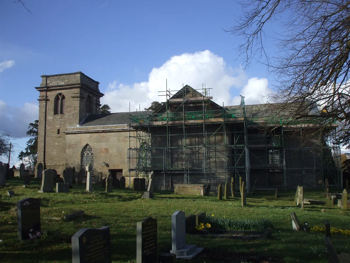
St Peter's Church, Adderley
Historic churches · 1.6 km

Bridge Number 71 Massey's Bridge
Historic bridges · 1.7 km

Bridge Number 70 Wems Bridge
Historic bridges · 2.0 km

Audlem Baptist Church
Historic churches · 2.5 km
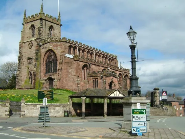
St James' Church, Audlem
Historic churches · 2.5 km

Day-Star Theatre
Theatres · 3.0 km

Shropshire Union Canal Bridge Number 67 Bettoncoppice Turnover Bridge
Historic bridges · 3.2 km
Nearby
📷 3Historic bridges · North West England
Bridge No 75 at SJ 659 415
Bridge No 75 at SJ 659 415 — Grade II listed building-listed bridge in england-west-midlands, United Kingdom.
📷 5Literary houses · West Midlands
Adderley Castle Hill
Adderley Castle Hill — a literary house museum in england west midlands.
📷 3Historic bridges · West Midlands
Bridge Number 73 Adderley Pool Bridge
Bridge Number 73 Adderley Pool Bridge — Grade II listed building-listed bridge in england-west-midlands, United Kingdom.
📷 4Gardens · West Midlands
Adderley Hall
Adderley Hall — a garden in england-west-midlands, United Kingdom.
📷 4Historic houses · North West England
Highfields
Highfields — a Grade I-listed historic house in england-west-midlands, United Kingdom.
📷 3Historic churches · West Midlands
St Peter's Church, Adderley
St Peter's Church, Adderley — church in Adderley, Shropshire, England, UK.
Where to eat & stay near Bridge No 74 at SJ 660 411
Places to stay
 📷 5
📷 5Caravan parks · West Midlands
White Caravan Park
White Caravan Park — a caravan park in england west midlands.
 📷 5
📷 5Caravan parks · West Midlands
Orchard Cottage Caravan Park
Orchard Cottage Caravan Park — a caravan park in england west midlands.

Campsites · North West England
Marbury Camp and Lodge
Marbury Camp and Lodge — a campsite in wales north.
 📷 5
📷 5 📷 5
📷 5 📷 5
📷 5Caravan parks · West Midlands
Green Lane Caravan And Camping Park
Green Lane Caravan And Camping Park — a caravan park in wales north.
Places to eat & drink
 📷 5
📷 5 📷 5
📷 5Restaurants · North West England
The Cheshire Cat
The Cheshire Cat — a restaurant in england west midlands.
 📷 7
📷 7Historic pubs · North West England
Old Eagles Public House
Old Eagles Public House in Wales North, United Kingdom.
 📷 7
📷 7Historic pubs · North West England
The Black Bear Public House
The Black Bear Public House in Wales North, United Kingdom.
 📷 5
📷 5Historic pubs · West Midlands
The Albion Public House And Adjoining Stables To East
The Albion Public House And Adjoining Stables To East in Wales North, United Kingdom.
 📷 3
📷 3Historic pubs · West Midlands
The White Lion
The White Lion — Historic pub — listed building or notable heritage status.
More bridges in this region
 📷 3
📷 3Historic bridges · West Midlands
Wolseley Bridge
Wolseley Bridge is a historic bridge in the United Kingdom.
 📷 3
📷 3Historic bridges · West Midlands
Bridge, Gatepiers, Walls And Ha Ha South Of Blithfield Hall
Bridge, Gatepiers, Walls And Ha Ha South Of Blithfield Hall — Grade II listed building-listed bridge in england-east-midlands, United Kingdom.
 📷 3
📷 3Historic bridges · West Midlands
Bridge Over River Swarbourn At West End Of Town Hill
Bridge Over River Swarbourn At West End Of Town Hill — Grade II listed building-listed bridge in england-east-midlands, United Kingdom.
 📷 3
📷 3Historic bridges · West Midlands
Viaduct over Trent and Mersey Canal at SK 0485 1780
Viaduct over Trent and Mersey Canal at SK 0485 1780 — Grade II listed building-listed bridge in england-east-midlands, United Kingdom.
Frequently asked questions
- Where is Bridge No 74 at SJ 660 411?
- Bridge No 74 at SJ 660 411 is in the West Midlands, United Kingdom (postcode TF9 3TG), in the parish of Adderley.
- What is Bridge No 74 at SJ 660 411?
- Bridge No 74 at SJ 660 411 — Grade II listed building-listed bridge in england-west-midlands, United Kingdom.
- How do I get to Bridge No 74 at SJ 660 411?
- The nearest railway station is Wrenbury, about 8.4 km away. Drivers can use postcode TF9 3TG.
- Is Bridge No 74 at SJ 660 411 a listed building?
- Bridge No 74 at SJ 660 411 is officially recognised as Grade II listed building listed.
- Is Bridge No 74 at SJ 660 411 free to visit?
- Yes, Bridge No 74 at SJ 660 411 is free to enter.
- How do I get to Bridge No 74 at SJ 660 411?
- Drivers can navigate to postcode TF9 3TG. It sits within the North Shropshire parliamentary constituency.