
Hill forts · South East England
Hengistbury Head
In or near Stanpit.
Hengistbury Head — headland and archaeological site in Dorset, England.

Wikimedia Commons contributors — see linked file page for photographer and licence licence

Plan your visit
- Typical visit
- 1 h–2 h
- Nearest railway station
- Christchurch · 3.1 km
- Free entry
- Dog-friendly
Getting there & planning your visit
To visit Hengistbury Head, the nearest railway station is Christchurch, located 3.1 km away. Entry to the site is free.
About
Hengistbury Head is a hill fort in the United Kingdom. Part of Multi-period landscape on Hengistbury Head. Wikidata describes it as: "headland and archaeological site in Dorset, England". Coordinates: 50.7164°, -1.7568°.
Photo gallery
Official information
Hengistbury Head is a scenic and historic headland located near Bournemouth, England. It features the public artwork 'Layers of Bournemouth', a rammed earth sculpture that encourages visitors to appreciate the natural world and its geological history.
Protected designations
- Site of Special Scientific Interest: Christchurch Harbour SSSI
Designations sourced from Natural England open data under OGL v3.
From the Wikipedia article
Hengistbury Head (), formerly also called Christchurch Head, is a headland jutting into the English Channel between Bournemouth and Mudeford in the English county of Dorset. It is a site of international importance in terms of its archaeology and is scheduled as an Ancient Monument. Declared a Local Nature Reserve in 1990, the head and its surroundings form part of the Christchurch Harbour Site of Special Scientific Interest. It is also a Special Area of Conservation, Special Protection Area, an Environmentally Sensitive Area and a Site of Nature Conservation Interest. The name "Hengistbury Head" refers to the whole of the headland area; the elevated portion is called Warren Hill. There has been human activity on the site since the Upper Palaeolithic. During the Victorian era, it was heavily quarried, and in recent years tourism has become significant – it receives more than one million visitors annually. The various habitats on the Head provide a home for many plants, birds and insects, some of them rare and critically endangered. Erosion remains a threat to the site, although long-term projects are intended to secure it for the future.
Excerpt from Wikipedia under CC BY-SA 4.0. See the source article linked in Sources below.
Background
History
Hengistbury Head is home to a plethora of nationally and internationally significant archaeological sites, with features dating from the Late Upper Palaeolithic to the Roman settlement of Britain, earning the site Scheduled Ancient Monument status. Interest in the site declined throughout the Dark Ages, until extensive development took place in Christchurch around 890 AD, when the Head may have been used as a lookout post. The area was heavily quarried during the Victorian period and nowadays receives over a million visitors annually.
Architecture
The spit is home to more than 300 privately owned beach-huts, which are some of the UK's most expensive. In 2015 five of the huts were put on the market for a combined asking price of £1 million. On average the huts measure around five by three metres, have no running water, and staying overnight is only permitted from March through October. Despite the relative lack of amenities, the area has become one of the UK's most desirable; huts are rented out for up to £600 a week. The Black House, a local landmark, stands at the end of the spit, opposite Mudeford Quay, site of the Battle of Mudeford in 1784. Built in 1848, it was once a boatbuilders' house, but is now rented out to holidaymakers.…
Visiting
A new visitor centre for Hengistbury Head was opened in December 2013. The extant thatched barn was upgraded in an eco-friendly way and the new addition cost over a million pounds. Funds were provided by developer contributions, the Heritage Lottery Fund and £300,000 from landfill tax. while work space has been created for volunteers and other community groups such as the Hengistbury Head Supporters Group, Residents' Association and Christchurch Harbour Ornithological Group. Energy-saving features include photovoltaic panels for electricity and ground source heat pump for heating. A green roof (a living roof that is partially or completely covered with vegetation and a growing medium), is…
Sourced from Wikipedia under CC BY-SA 4.0.
- Coordinates
- 50.7164, -1.7568
- Parish
- Bournemouth, Christchurch and Poole, unparished area
- Postcode
- BH6 4EN
- Parliamentary constituency
- Bournemouth East
- Nearest railway station
- Christchurch — 3.1 km
- Official site
- briony.com
Sources
- wikidata: Q12059867 (CC0)
- wikipedia: Hengistbury Head (CC BY-SA 4.0)
- commons: Hengistbury Head.JPG (CC BY-SA 4.0)
Other places nearby
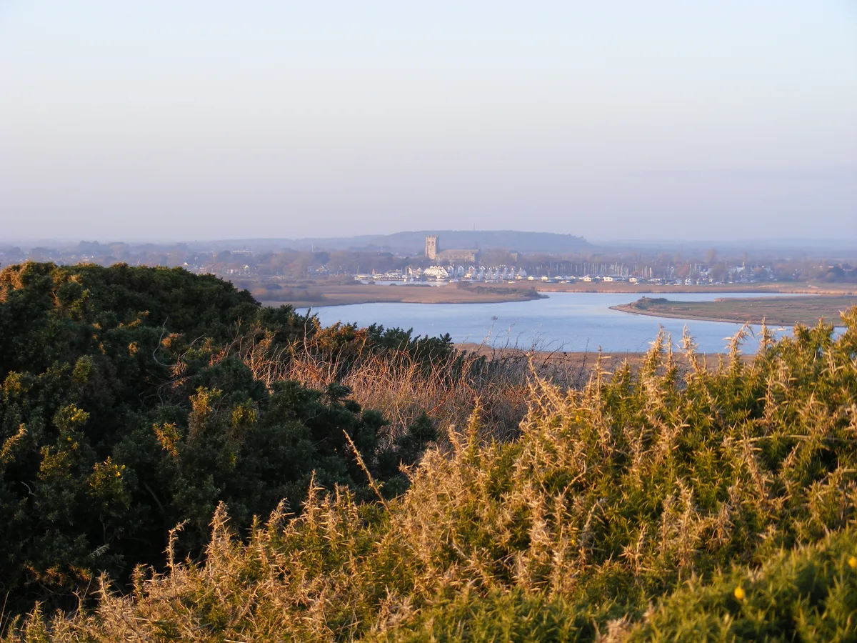
Warren Hill
Hill forts · 0.2 km
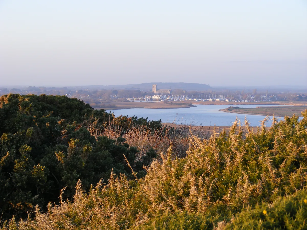
Warren Hill
Mountains & hills · 0.3 km

White Pits
Beaches · 0.3 km

Layers of Bournemouth
Public art & sculpture · 0.3 km

Christchurch Harbour
Marinas · 0.7 km

Double Dykes
Archaeological sites · 0.8 km

Stanpit
Towns & cities · 1.4 km

Tuttons Well
Historic houses · 1.6 km

River Stour, Dorset
Museums · 1.7 km

Sandhills Holiday Park Christchurch
Caravan parks · 1.8 km

Avon Beach
Beaches · 2.0 km

Southbourne
Villages · 2.0 km
Nearby
📷 5Hill forts · South East England
Warren Hill
Warren Hill — archaeological site by Christchurch.
📷 5Mountains & hills · South East England
Warren Hill
Warren Hill — Named summit at 36 m.
📷 5Beaches · South East England
White Pits
White Pits is a beach in the United Kingdom.
📷 5Public art & sculpture · South East England
Layers of Bournemouth
Layers of Bournemouth — a public art in england-south-east, United Kingdom.
📷 5Marinas · South East England
Christchurch Harbour
Christchurch Harbour — a marina in england south east.
📷 5Archaeological sites · South East England
Double Dykes
Double Dykes — a archaeological in england-south-east, United Kingdom.
Where to eat & stay near Hengistbury Head
Places to stay
📷 5Caravan parks · South East England
Sandhills Holiday Park Christchurch
Sandhills Holiday Park Christchurch — a caravan park in england south east.
 📷 5
📷 5Hotels · South East England
The Kings Arms Hotel
The Kings Arms Hotel — a hotel in england south east.
 📷 5
📷 5Caravan parks · South East England
Hoburne Park
Hoburne Park — a caravan park in england south east.
 📷 5
📷 5Campsites · South East England
Grove Farm Meadow Holiday and Touring Park
Grove Farm Meadow Holiday and Touring Park — a campsite in england south east.
 📷 5
📷 5Caravan parks · South East England
Hoburne Naish
Hoburne Naish — a caravan park in england south east.
 📷 5
📷 5Places to eat & drink
 📷 5
📷 5Historic pubs · South West England
The Rising Sun Public House
The Rising Sun Public House in England South West, United Kingdom.
📷 5Historic pubs · South West England
The Salisbury Arms Public House
The Salisbury Arms Public House in England South West, United Kingdom.
 📷 5
📷 5Historic pubs · South East England
The Woolpack
The Woolpack — Historic pub — listed building or notable heritage status.
 📷 5
📷 5Historic pubs · South West England
Branksome Arms
Branksome Arms in England South West, United Kingdom.
 📷 5
📷 5Historic pubs · South East England
The Beach House
The Beach House in England South East, United Kingdom.
 📷 5
📷 5Historic pubs · South East England
Forest Heath Hotel
Forest Heath Hotel in England South West, United Kingdom.
More places in this region
 📷 5
📷 5Hill forts · South East England
Ankerwycke Priory
Ankerwycke Priory — Benedictine nunnery with associated moat and fishponds.
 📷 5
📷 5Hill forts · South East England
Shornemead Fort
Shornemead Fort — fort in Shorne, Kent, England, UK.
 📷 5
📷 5Hill forts · South East England
Smythe's Megalith
Smythe's Megalith — neolithic monument in Kent, England.
 📷 5
📷 5Hill forts · South East England
White Horse Stone
White Horse Stone — Two megaliths near Aylesford, Kent, England.
Frequently asked questions
- Where is Hengistbury Head?
- Hengistbury Head is in South-East England, United Kingdom (postcode BH6 4EN), in the parish of Bournemouth, Christchurch and Poole, unparished area.
- What is Hengistbury Head?
- Hengistbury Head — headland and archaeological site in Dorset, England.
- How do I get to Hengistbury Head?
- The nearest railway station is Christchurch, about 3.1 km away. The nearest town is Stanpit. Drivers can use postcode BH6 4EN.
- Is Hengistbury Head a protected site?
- Yes — Hengistbury Head is part of the Christchurch Harbour SSSI Site of Special Scientific Interest.
- Is Hengistbury Head free to visit?
- Yes, Hengistbury Head is free to enter.
- How do I get to Hengistbury Head?
- The nearest railway station is Christchurch, about 3.1 km away. Drivers can navigate to postcode BH6 4EN.