
Mountains & hills · North West England
Helvellyn
In or near Patterdale.
Helvellyn — Named summit at 949.8 m.

Wikimedia Commons contributors — see linked file page for photographer and licence licence
Dec2004.jpg)
Plan your visit
- Typical visit
- 3 h–8 h
- Best time of year
- Late spring – early autumn (May–Oct)
- Nearest railway station
- Threlkeld Quarry · 9.2 km
- Free entry
- Dog-friendly
Getting there & planning your visit
To visit Helvellyn, the nearest railway station is Threlkeld Quarry, located 9.2 km away. Entry is free. There are no specific accessibility details provided.
About
Helvellyn is a named summit in the United Kingdom. Wikidata describes it as: "Named summit at 949.8 m.". Coordinates: 54.5270°, -3.0175°.
Photo gallery
360° viewimagery from 2022
Imagery © Mapillary contributors, CC BY-SA 4.0
Protected designations
- Site of Special Scientific Interest: River Derwent and Tributaries SSSI
- Site of Special Scientific Interest: Helvellyn & Fairfield SSSI
- Site of Special Scientific Interest: River Eden and Tributaries SSSI
Designations sourced from Natural England open data under OGL v3.
From the Wikipedia article
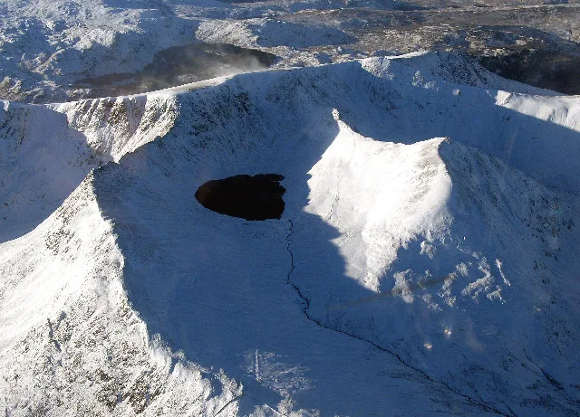
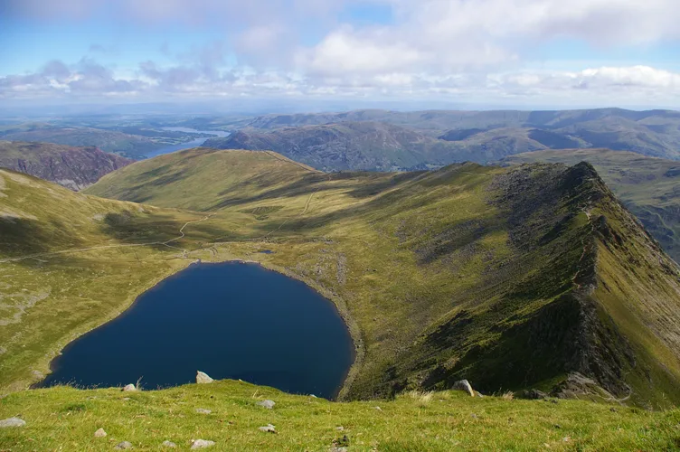
Helvellyn (; possible meaning: pale yellow moorland) is a mountain in the English Lake District, the highest point of the Helvellyn range, a north–south line of mountains to the north of Ambleside, between the lakes of Thirlmere and Ullswater. Helvellyn is the third-highest point both in England and in the Lake District, and access to Helvellyn is easier than to the two higher peaks of Scafell Pike and Scafell. The scenery includes three deep glacial coves and two sharp-topped ridges on the eastern side (Striding Edge and Swirral Edge). Helvellyn was one of the earliest fells to prove popular with walkers and explorers; beginning especially in the later 18th century. Among the early visitors to Helvellyn were the poets Samuel Taylor Coleridge and William Wordsworth, both of whom lived nearby at one period. Routes up the mountain permit approach from many directions. However, traversing the mountain is not without dangers; over the last two hundred years there have been a number of fatalities. The artist Charles Gough is more famous for his death on Striding Edge in 1805 than for what he achieved in his life. Among the human feats upon the mountain, one of the strangest was the landing and take-off of a small aeroplane on the summit in 1926. Since 2020, the summit of Helvellyn including both Striding and Swirral Edges and the wider Glenridding Common have been managed by the John Muir Trust, a wild places conservation charity in partnership with the Lake District Park Authority.
Excerpt from Wikipedia under CC BY-SA 4.0. See the source article linked in Sources below.
Background
Description
Grisedale Tarn is the starting point for the south ridge of Helvellyn, and may be reached from Grasmere or Patterdale, or from Dunmail Raise by a path alongside Raise Beck. Above the tarn the old pony track zigzags up the fellside, and takes a safe but unexciting route well away from crags on the side of the ridge, and avoiding all the intermediate tops. In suitable weather a more interesting and scenic route is to follow the edge of the crags as closely as possible, over the tops of Dollywagon Pike, High Crag and Nethermost Pike.
Visiting
on Helvellyn (1842) by Benjamin Robert Haydon ]] For centuries shepherds have walked over Helvellyn in the course of their work. Since the late eighteenth century that people have visited the mountain for pleasure or recreation. One of the earliest accounts of an ascent of Helvellyn for the pleasure of doing so is contained in James Clarke's guidebook of 1787. He quotes the account of an unnamed gentleman from Penrith who wanted to eat his dinner on Midsummer Day while sitting in a snowdrift on top of Helvellyn. The man left home at two in the morning, rode to Glencoyne and left his horse at a house in the valley there. He started to walk up the mountain at between four and five in the…
Sourced from Wikipedia under CC BY-SA 4.0.
- Coordinates
- 54.5270, -3.0175
- Address
- Cumbria, England
- Nearest railway station
- Threlkeld Quarry — 9.2 km
Sources
- osm: n29730755 (ODbL)
- wikipedia: Helvellyn (CC BY-SA 4.0)
- commons: Helvellyn(SimonLedingham)Dec2004.jpg (CC BY-SA 4.0)
Other places nearby

Avro 585 Gosport Plane Landing plaque
Memorials & monuments · 0.1 km
Helvellyn
Natural landmarks · 0.1 km
Red Tarn
Natural landmarks · 0.6 km

Lower Man
Mountains & hills · 0.7 km
Nethermost Pike
Mountains & hills · 0.9 km

Catstye Cam
Mountains & hills · 0.9 km
Catstycam
Mountains & hills · 0.9 km
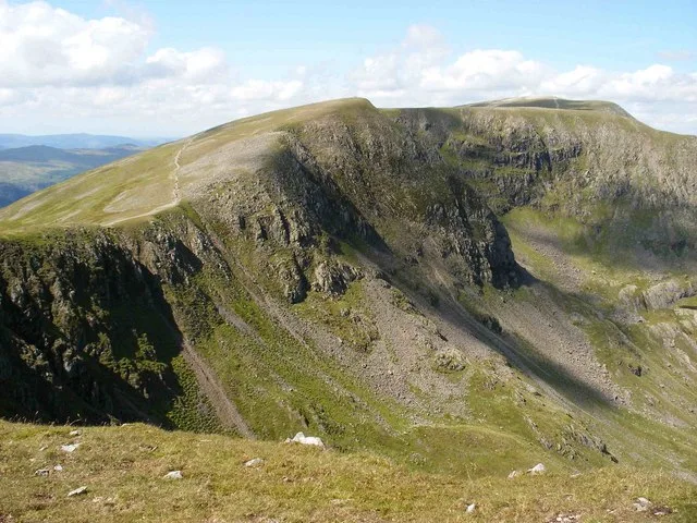
High Crag
Mountains & hills · 1.4 km
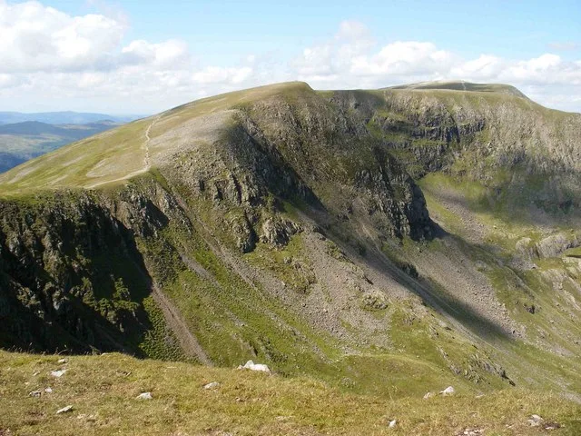
High Crag
Natural landmarks · 1.4 km
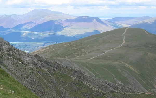
White Side
Natural landmarks · 1.6 km
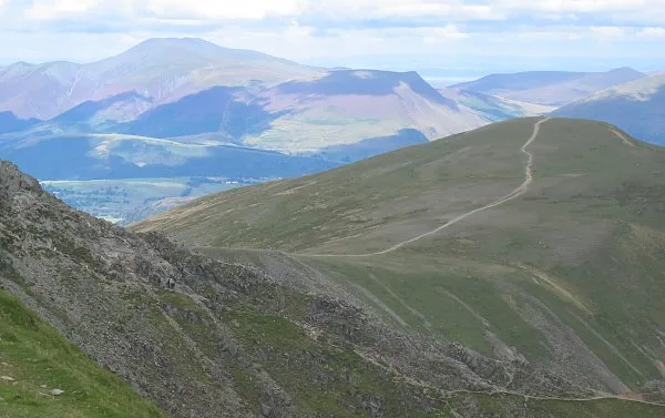
White Side
Mountains & hills · 1.6 km

Dollywaggon Pike
Mountains & hills · 2.1 km
Nearby
📷 3Memorials & monuments · North West England
Avro 585 Gosport Plane Landing plaque
Avro 585 Gosport Plane Landing plaque — a memorial in england-north-east, United Kingdom.
📷 3Natural landmarks · North West England
Helvellyn
Helvellyn — mountain in the English Lake District.
📷 3Natural landmarks · North West England
Red Tarn
Red Tarn — lake on Helvellyn, Cumbria, United Kingdom.
📷 5Mountains & hills · North West England
Lower Man
Lower Man — mountain in england north east. Elevation: 924.5 m.
📷 3Mountains & hills · North West England
Nethermost Pike
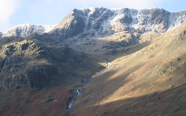
Nethermost Pike — Named summit at 891.3 m.
📷 5Mountains & hills · North West England
Catstye Cam
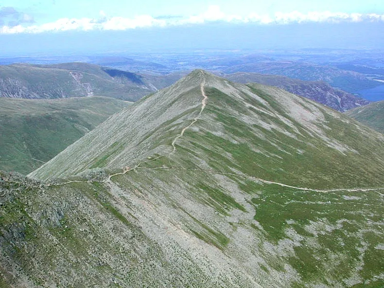
Catstye Cam — a hill or mountain in england north east.
Where to eat & stay near Helvellyn
Places to stay
 📷 5
📷 5Hostels · North West England
Bury Jubilee Outdoor Pursuits Centre
Bury Jubilee Outdoor Pursuits Centre — a hostel in england north east.
📷 5Hostels · North West England
YHA Helvellyn
YHA Helvellyn — a hostel in england north east. Brand: Youth Hostels Association.
 📷 5
📷 5Campsites · North West England
Thirlspot Farm Camping
Thirlspot Farm Camping — a campsite in england north east.
 📷 5
📷 5Caravan parks · North West England
Gillside Caravan Park
Gillside Caravan Park — a caravan park in england north east.
 📷 5
📷 5Campsites · North West England
Gillside Camping
Gillside Camping — a campsite in england north east.
 📷 7
📷 7Places to eat & drink
 📷 7
📷 7Historic pubs · North West England
The Travellers Rest
The Travellers Rest in England North West, United Kingdom.
 📷 7
📷 7Cafés · North West England
Grange Bridge Cottage
Grange Bridge Cottage — a café in england north east.
 📷 5
📷 5Historic pubs · North West England
Golden Rule Hotel
Golden Rule Hotel in England North West, United Kingdom.
 📷 5
📷 5 📷 5
📷 5Restaurants · North West England
Holbeck Ghyll Restaurant
Holbeck Ghyll Restaurant — a restaurant in england north west.
 📷 4
📷 4Restaurants · North West England
Holbeck Ghyll
Holbeck Ghyll is a restaurant located in Windermere, Cumbria, England. "The late 19th century building was once Lord Lonsdale's hunting lodge and only became a hotel in the 1970s. It won a Michelin st
More mountains in this region
 📷 5
📷 5Mountains & hills · North West England
Appleton Park
Appleton Park — a hill or mountain in england west midlands.
 📷 5
📷 5Mountains & hills · North West England
High Warren
High Warren — mountain in england west midlands. Elevation: 105 m.
 📷 5
📷 5Mountains & hills · North West England
Alderley Edge
Alderley Edge — mountain in england west midlands. Elevation: 194 m.
 📷 3
📷 3Frequently asked questions
- Where is Helvellyn?
- Helvellyn is in North-East England, United Kingdom.
- What is Helvellyn?
- Helvellyn — Named summit at 949.8 m.
- How do I get to Helvellyn?
- The nearest railway station is Threlkeld Quarry, about 9.2 km away. Its coordinates are 54.5270°, -3.0175°.
- Is Helvellyn a protected site?
- Yes — Helvellyn is part of the River Derwent and Tributaries SSSI Site of Special Scientific Interest and the Helvellyn & Fairfield SSSI Site of Special Scientific Interest.
- Is Helvellyn free to visit?
- Yes, Helvellyn is free to enter.