
Hill forts · North East England
Harperley POW Camp 93
In or near Crook.
Harperley POW Camp 93 — world War 2 prisoner of war camp in England.

Wikimedia Commons contributors — see linked file page for photographer and licence licence

Plan your visit
- Typical visit
- 1 h–2 h
- Nearest railway station
- Witton-le-Wear · 4.8 km
- Free entry
- Dog-friendly
Getting there & planning your visit
To visit Harperley POW Camp 93, the nearest railway station is Witton-le-Wear, located 4.8 km away. Entry is free, and the postcode for sat-nav is DL15 8DX.
About
Harperley POW Camp 93 is a hill fort in the United Kingdom. Heritage designation: scheduled monument. Wikidata describes it as: "world War 2 prisoner of war camp in England". Coordinates: 54.7135°, -1.8042°.
Photo gallery
From the Wikipedia article
Harperley POW Camp 93 is a surviving purpose-built World War II Prisoner of War (PoW) camp built to accommodate up to 1,400 inmates at Fir Tree near Crook, County Durham in the northeast of England. A work camp for low risk PoWs, it was built on a hillside overlooking Weardale and across the valley from Hamsterley Forest. It was built, initially, in 1943 by Italian PoWs to similar plans of other existing Ministry of War Standard Camps of World War II in Britain and was typical of many military installations around the country. It is the main camp for a number of satellite camps, also numbered 93. Nearby Bishop Auckland used Harperley PoWs and Oaklands Emergency Hospital was another installation numbered Camp 93. There were approximately 1,500 camps of varying categories and sizes in World War II Britain, and of those, about 100 were reported as 'purpose-built', such as Harperley.
Excerpt from Wikipedia under CC BY-SA 4.0. See the source article linked in Sources below.
Background
History
{| class="wikitable" !Camp Status !Camp Name !Location !World War II County |- |Headquarters |Harperley |Fir Tree, Crook |County Durham |- |Satellite |Oaklands Emergency Hospital |Bishop Auckland |County Durham |- |Satellite |Bedburn |Bedburn |County Durham |- |Satellite |Consett |Consett |County Durham |- |Satellite |Hamsterley Hall |Hamsterley, Rowlands Gill |County Durham |- |Satellite |High Spen |Gateshead |County Durham |- |Satellite |Lanchester |Lanchester |County Durham |- |Satellite |Langton Grange |High Hulam, Nr Staindrop |County Durham |- |Satellite |Mount Oswald |South Road, Durham |County Durham |- |Satellite |Usworth |nr Washington, Tyne and Wear |County Durham |- |Satellite…
Architecture
The original 50 plus buildings were constructed from normal house brick and concrete foundations with reinforced concrete posts and frameworks. All the buildings are of the same width, 18 ft, the approximate height being 12 ft at the roof apex and of varying lengths dependent on the intended use of the building. The wall sections were either prefabricated reinforced concrete panels or vented square-shaped clay brick construction, including a window in alternate sections. The roofs were made from corrugated asbestos sheeting and are said to be currently in a stable condition. The original interior and exterior paintwork remain extensive throughout; their composition is reputed to have a high…
Description
Structurally, this building is no different from the others within Harperley. However, its interior, constructed entirely by the PoWs, is a remarkable achievement. It shows the successfully converted interior of a MoW (Ministry of War) Standard Hut incorporating a Stage (with Prompt Box and Orchestra Pit) and tiered auditorium flooring. It is believed none of the materials were requisitioned or issued to them and it is possible that the bricks, sand, cement and gravel were 'acquired' almost certainly 'on permanent loan'. It was decorated in the style of the day using painted Hessian sacking with accompanying adapted wall lighting. The facia above the stage was adorned with theatrical masks…
Sourced from Wikipedia under CC BY-SA 4.0.
- Coordinates
- 54.7135, -1.8042
- District
- County Durham
- Parish
- Wolsingham
- Postcode
- DL15 8DX
- Parliamentary constituency
- Bishop Auckland
- Nearest railway station
- Witton-le-Wear — 4.8 km
Sources
- wikidata: Q15223074 (CC0)
- wikipedia: Harperley POW Camp 93 (CC BY-SA 4.0)
- commons: Harperley looking West.jpg (CC BY-SA 4.0)
Other places nearby

Harperley Camp (WW2 POW camp)
Natural landmarks · 0.1 km

Harperley Camp
Archaeological sites · 0.1 km
Craigside
Other places · 0.2 km

Harperley railway station
Historic houses · 1.2 km

Fir Tree War Memorial
Memorials & monuments · 1.5 km

Fir Tree War Memorial Drinking Fountain
Memorials & monuments · 1.5 km

Fir Tree
Other places · 2.0 km

Bradley Hall fortified house and underground passages, moated site, pillow mound and fishponds
Archaeological sites · 2.0 km

Bradley Burn bridge
Historic bridges · 2.3 km

Helme Park Pit
Archaeological sites · 2.3 km

Bradley Burn Farm Touring site
Caravan parks · 2.4 km

High Shipley Farm Bungalow
Campsites · 2.6 km
Nearby
📷 3Natural landmarks · North East England
Harperley Camp (WW2 POW camp)
Harperley Camp (WW2 POW camp) — a other in scotland-lowlands, United Kingdom.
📷 3Archaeological sites · North East England
Harperley Camp
Harperley Camp — a archaeological in scotland-lowlands, United Kingdom.
📷 3📷 4Historic houses · North East England
Harperley railway station
Harperley railway station in England North East, United Kingdom.
📷 3Memorials & monuments · North East England
Fir Tree War Memorial
Fir Tree War Memorial is a memorial in the United Kingdom.
📷 3Memorials & monuments · North East England
Fir Tree War Memorial Drinking Fountain
Fir Tree War Memorial Drinking Fountain — Grade II listed building-listed memorial in scotland-lowlands, United Kingdom.
Where to eat & stay near Harperley POW Camp 93
Places to stay
📷 5Caravan parks · North East England
Bradley Burn Farm Touring site
Bradley Burn Farm Touring site — a caravan park in scotland lowlands.
📷 3Campsites · North East England
High Shipley Farm Bungalow
High Shipley Farm Bungalow — a campsite in scotland lowlands.
 📷 5
📷 5Campsites · North East England
Green Acres Hamsterley
Green Acres Hamsterley — a campsite in scotland lowlands.
 📷 5
📷 5Caravan parks · North East England
The Paddock Touring Park
The Paddock Touring Park — a caravan park in scotland lowlands.
 📷 5
📷 5Caravan parks · North East England
High Doctor Pasture Caravan Park
High Doctor Pasture Caravan Park — a caravan park in scotland lowlands.
 📷 5
📷 5Caravan parks · North East England
Holebeck Touring Caravan Park
Holebeck Touring Caravan Park — a caravan park in scotland lowlands.
Places to eat & drink
 📷 3
📷 3 📷 5
📷 5Historic pubs · North East England
Black Bull Public House
Black Bull Public House in Scotland Lowlands, United Kingdom.
 📷 5
📷 5Historic pubs · North East England
Bay Horse Public House
Bay Horse Public House in Scotland Lowlands, United Kingdom.
 📷 5
📷 5Historic pubs · North East England
Coopers Public House
Coopers Public House in Scotland Lowlands, United Kingdom.
 📷 5
📷 5Historic pubs · North East England
5, Market Place
5, Market Place in Scotland Lowlands, United Kingdom.
📷 5Cafés · North East England
Breaking Bread Kitchen and Bakehouse
Breaking Bread Kitchen and Bakehouse — a café in scotland lowlands.
More places in this region
 📷 3
📷 3Hill forts · North East England
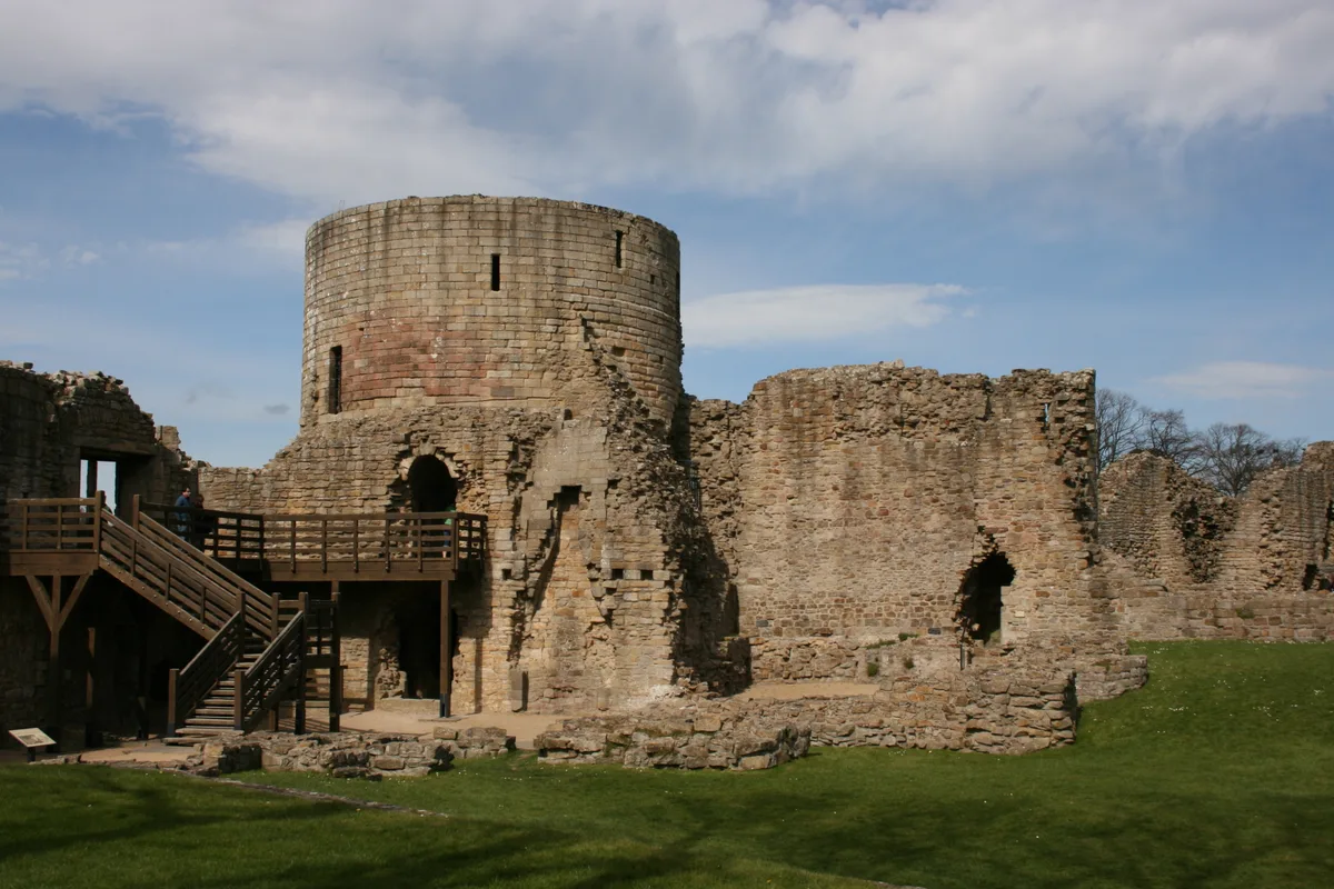
Barnard Castle
Barnard Castle is a hill fort in the United Kingdom.
 📷 3
📷 3Hill forts · North East England
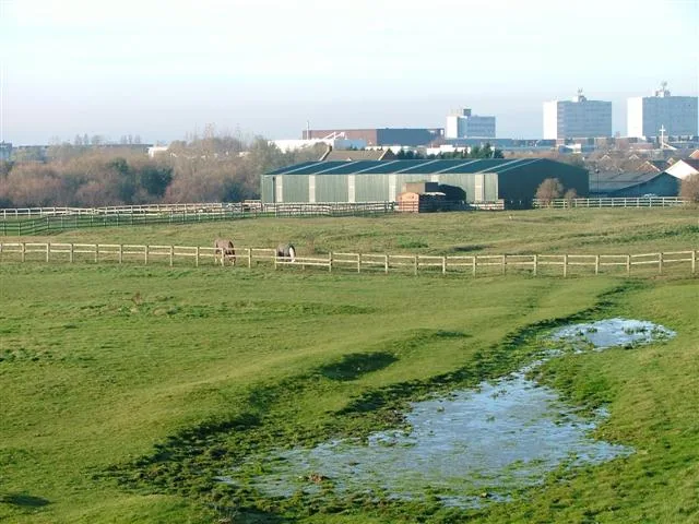
Stainsby
Stainsby — abandoned village in North Yorkshire, England, UK.
 📷 4
📷 4Hill forts · North East England
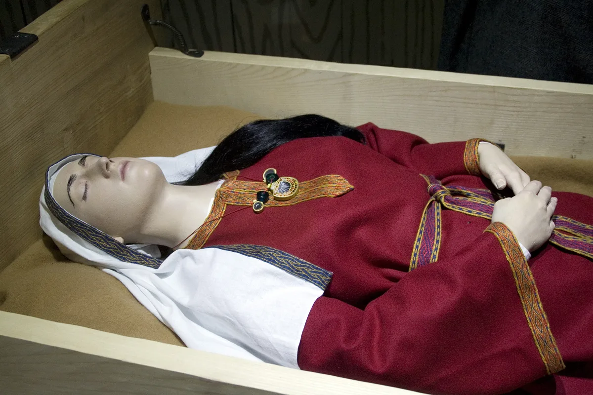
Street House Anglo-Saxon cemetery
Street House Anglo-Saxon cemetery — cemetery in North Yorkshire, England.
 📷 3
📷 3Hill forts · North East England
Pittington Hill
Pittington Hill in England North East, United Kingdom.
Frequently asked questions
- Where is Harperley POW Camp 93?
- Harperley POW Camp 93 is in the Scottish Lowlands, United Kingdom (postcode DL15 8DX), in the parish of Wolsingham.
- What is Harperley POW Camp 93?
- Harperley POW Camp 93 — world War 2 prisoner of war camp in England.
- How do I get to Harperley POW Camp 93?
- The nearest railway station is Witton-le-Wear, about 4.8 km away. Drivers can use postcode DL15 8DX.
- Is Harperley POW Camp 93 a listed building?
- Harperley POW Camp 93 is officially recognised as scheduled monument listed.
- Is Harperley POW Camp 93 free to visit?
- Yes, Harperley POW Camp 93 is free to enter.
- How do I get to Harperley POW Camp 93?
- The nearest railway station is Witton-le-Wear, about 4.8 km away. Drivers can navigate to postcode DL15 8DX.