
Archaeological sites · South Wales
Harold's House
In or near Caerwent.
Harold's House — archaeological in wales south.

Neil Owen — CC BY-SA 2.0 via Wikimedia Commons licence

Plan your visit
- Typical visit
- 45 min–1.5 h
- Nearest railway station
- Caldicot · 2.4 km
About
Harold's House is a archaeological located in wales south. British historic ruins recorded in OpenStreetMap. Many such sites are scheduled monuments or listed structures.
Photo gallery
Protected designations
- Site of Special Scientific Interest: Severn Estuary SSSI
Designations sourced from Natural England open data under OGL v3.
Place summary
Harold's House is an archaeological site located in Portskewett, South Wales, within the postcode area NP26. It is designated as a Site of Special Scientific Interest (SSSI) due to its significance within the Severn Estuary. The site reflects the region's historical and ecological importance, contributing to the understanding of the area's archaeological landscape.
AI-generated from the structured facts on this page (operator, designation, listing, era). Not a substitute for visiting.
- Coordinates
- 51.5892, -2.7254
- District
- Monmouthshire
- Parish
- Portskewett
- Postcode
- NP26 5TQ
- Parliamentary constituency
- Monmouthshire
- Nearest railway station
- Caldicot — 2.4 km
Sources
- osm: n7807386331 (ODbL)
- wikidata: Q38619868 (CC0)
Other places nearby

Harold's House
Historic houses · 0.0 km
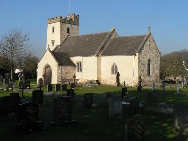
Church of St Mary, Portskewett
Historic churches · 0.1 km

Portskewett War Memorial
Memorials & monuments · 0.1 km

Portskewett
Villages · 0.6 km

Sudbrook Camp
Vineyards · 1.0 km

Deepweir Tump
Literary houses · 1.0 km

Sudbrook hill fort
Hill forts · 1.0 km
Sudbrook Fort
Vineyards · 1.0 km

Caldicot Castle Museum
Museums · 1.2 km
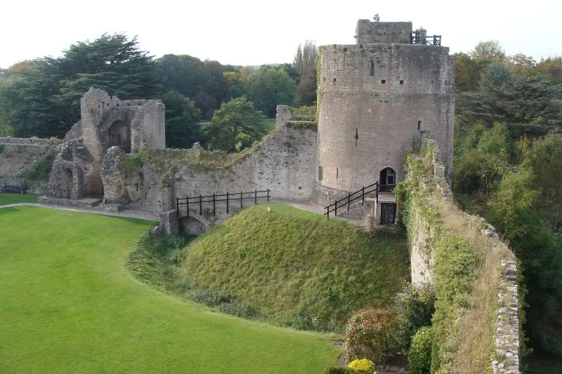
Caldicot Castle
Castles · 1.2 km

Black Rock Picnic Site
Natural landmarks · 1.4 km

Llanthony Secunda Manor
Manor houses · 1.8 km
Nearby
📷 3Historic houses · South Wales
Harold's House
Harold's House — a historic house in wales-south, United Kingdom.
📷 3Historic churches · South Wales
Church of St Mary, Portskewett
Church of St Mary, Portskewett — Grade I listed church in Monmouthshire, Wales, UK.
📷 5Memorials & monuments · South Wales
Portskewett War Memorial
Portskewett War Memorial — Grade II listed building-listed memorial in wales-south, United Kingdom.
📷 5📷 5Vineyards · South Wales
Sudbrook Camp
Sudbrook Camp — a UK vineyard in wales south, producing English or Welsh wine from cool-climate grape varieties.
📷 5Where to eat & stay near Harold's House
Places to stay
 📷 5
📷 5Hotels · South Wales
St Pierre Country Club
St Pierre Country Club — a hotel in wales south.
 📷 5
📷 5Caravan parks · South West England
Vine Farm Caravan Park
Vine Farm Caravan Park — a caravan park in wales south.
 📷 5
📷 5 📷 5
📷 5 📷 7
📷 7 📷 5
📷 5Campsites · South West England
Brockmead Scout Camp Site
Brockmead Scout Camp Site — a campsite in wales south.
Places to eat & drink
 📷 6
📷 6 📷 7
📷 7 📷 5
📷 5Restaurants · South Wales
Mint & Mustard
Mint & Mustard — a restaurant in wales south.
 📷 7
📷 7Historic pubs · South West England
The Boar's Head
The Boar's Head in Wales South, United Kingdom.
 📷 3
📷 3Restaurants · South Wales
Ego at The Groes Wen Inn
Ego at The Groes Wen Inn — a restaurant in wales south. Cuisine: mediterranean. Brand: Ego.
 📷 7
📷 7Historic pubs · South West England
Blaise Inn Public House
Blaise Inn Public House in Wales South, United Kingdom.
More archaeological sites in this region
 📷 3
📷 3Archaeological sites · South Wales
Coygan Cave
Coygan Cave — cave and archaeological site in the United Kingdom.
 📷 3
📷 3 📷 3
📷 3Archaeological sites · South Wales
Glasfynydd Forest
Glasfynydd Forest — forest on the boundary of Carmarthenshire and Powys, Wales, UK.
 📷 3
📷 3Archaeological sites · South Wales
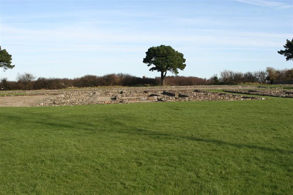
Gwersyll Rhufeinig Bargoed
Gwersyll Rhufeinig Bargoed — archaeological site in Caerphilly County Borough, Wales, UK.
Frequently asked questions
- Where is Harold's House?
- Harold's House is in South Wales, United Kingdom (postcode NP26 5TQ), in the parish of Portskewett.
- What is Harold's House?
- Harold's House — archaeological in wales south.
- How do I get to Harold's House?
- The nearest railway station is Caldicot, about 2.4 km away. Drivers can use postcode NP26 5TQ.
- Is Harold's House a protected site?
- Yes — Harold's House is part of the Severn Estuary SSSI Site of Special Scientific Interest.
- How do I get to Harold's House?
- The nearest railway station is Caldicot, about 2.4 km away. Drivers can navigate to postcode NP26 5TQ.